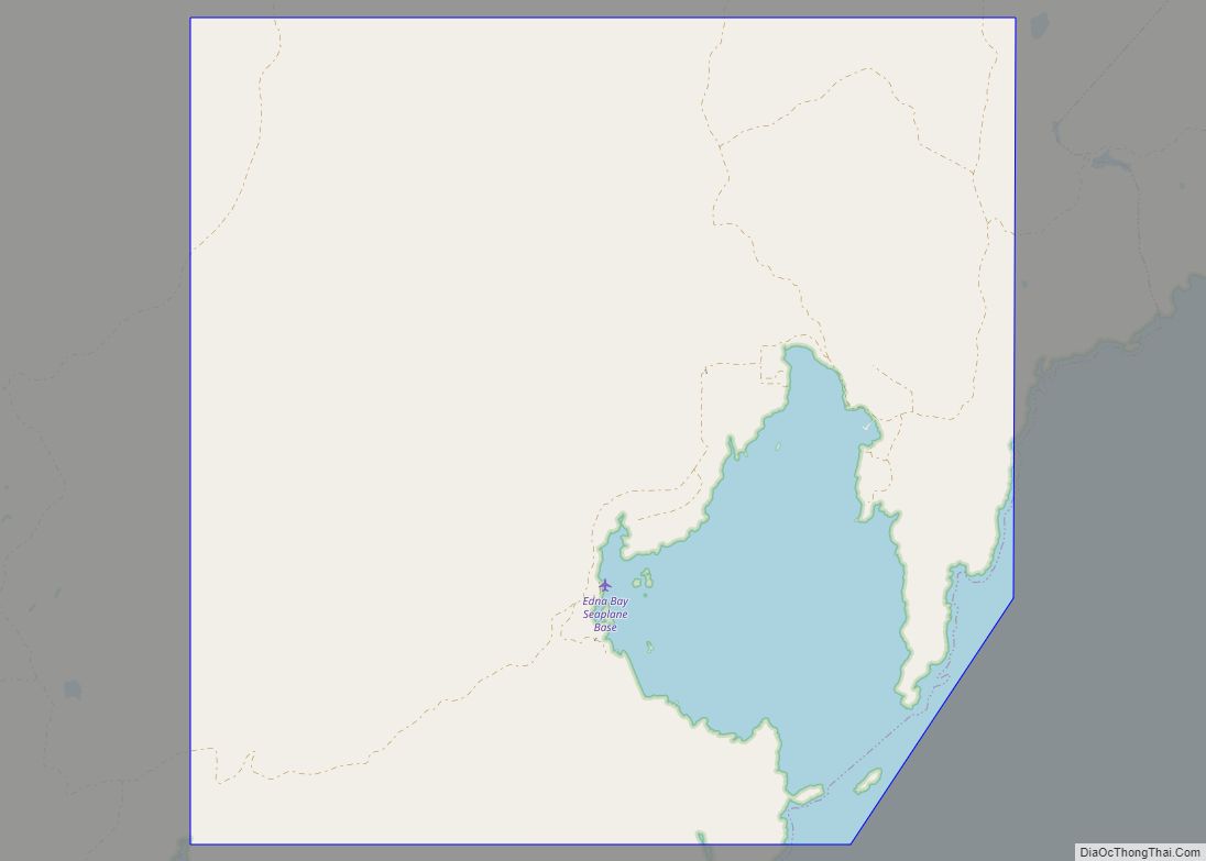
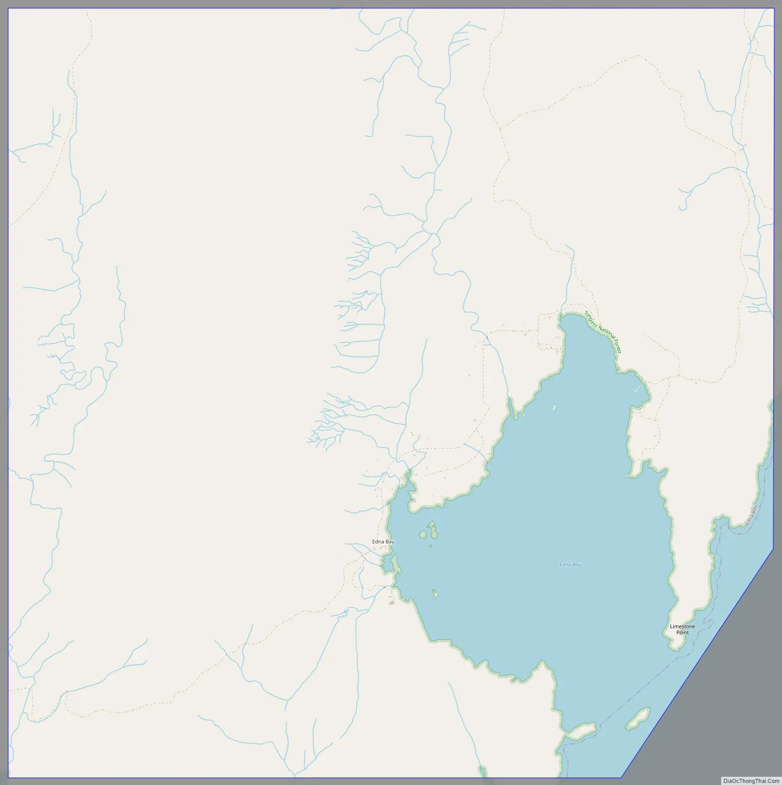
Edna Bay is a city on Kosciusko Island in the Prince of Wales-Hyder Census Area in the U.S. state of Alaska. The community was officially incorporated on October 13, 2014 and has a population of 42 as of the 2010 Census, down from 49 in 2000.
Edna Bay is the only populated town on Kosciusko Island, and has both year-round and seasonal residents. Year-round residents are either retired or work primarily in the fishing and logging industries. Some permanent residents also work seasonally off-island in various industries. Due to the very remote location of Edna Bay and the subsequent difficulty and expense of traveling between Edna Bay and larger Southeast Alaska communities, subsistence hunting, fishing, and gathering comprise a large portion of the livelihood activities for residents of Edna Bay.
| Name: | Edna Bay city |
|---|---|
| LSAD Code: | 25 |
| LSAD Description: | city (suffix) |
| State: | Alaska |
| County: | Prince of Wales-Hyder Census Area |
| Incorporated: | October 13, 2014 |
| Elevation: | 13 ft (4 m) |
| Total Area: | 24.21 sq mi (62.71 km²) |
| Land Area: | 21.14 sq mi (54.77 km²) |
| Water Area: | 3.07 sq mi (7.94 km²) |
| Total Population: | 25 |
| Population Density: | 1.18/sq mi (0.46/km²) |
| Area code: | 907 |
| FIPS code: | 0220970 |
| GNISfeature ID: | 1421658 |
| Website: | www.ednabayalaska.net |
Online Interactive Map
Click on ![]() to view map in "full screen" mode.
to view map in "full screen" mode.
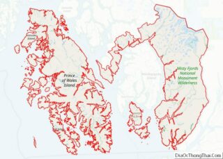
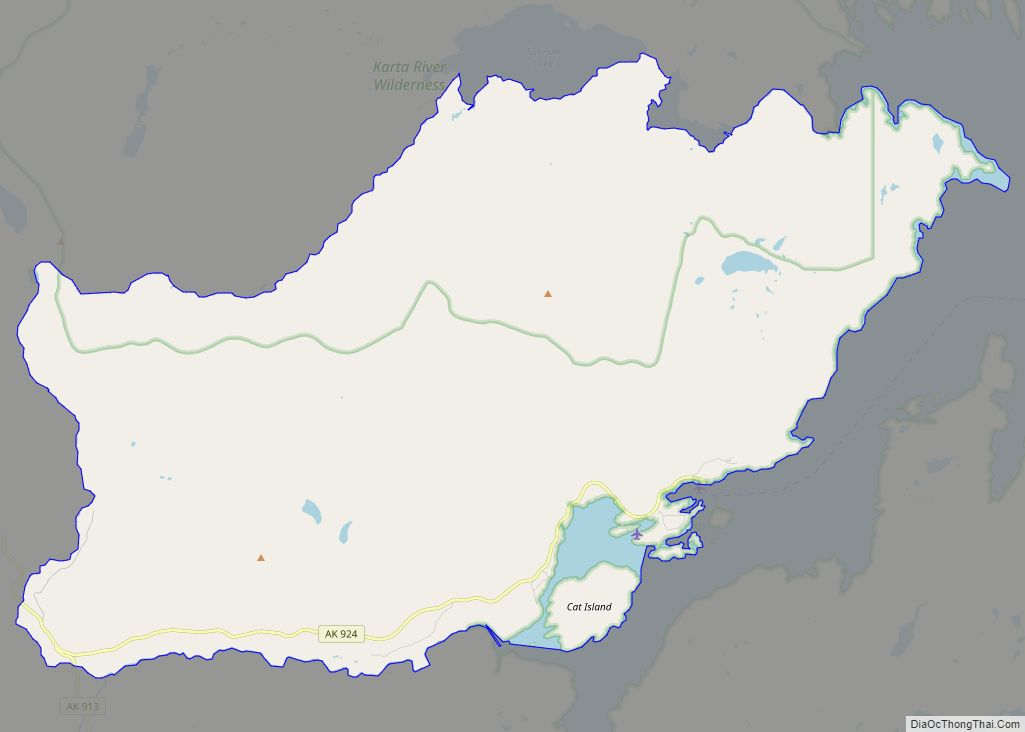
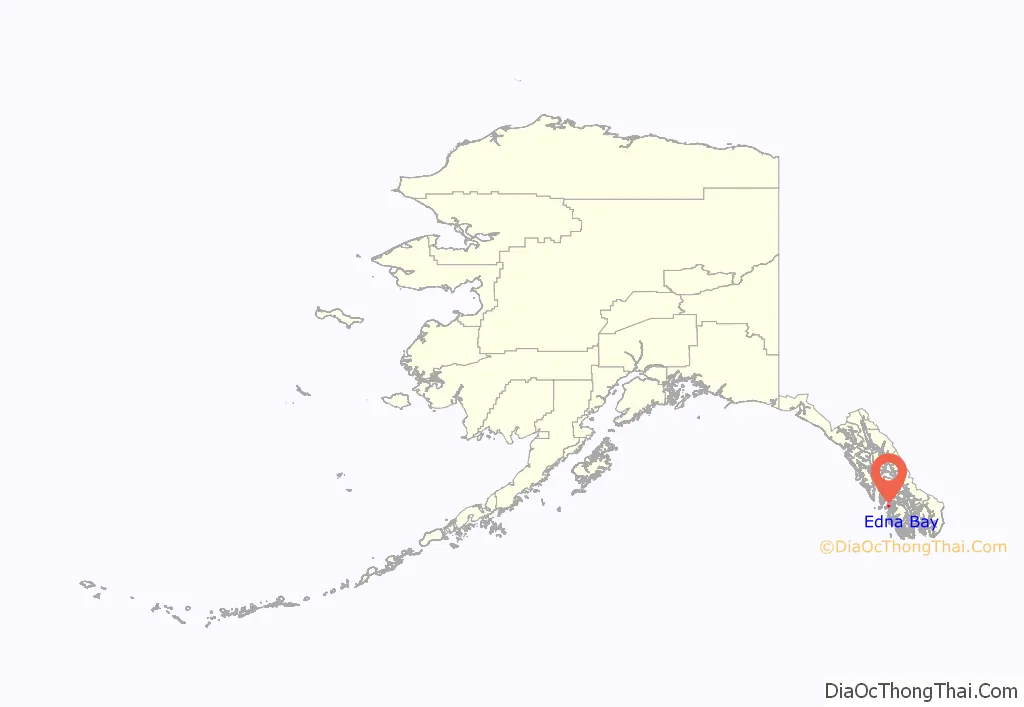
Edna Bay location map. Where is Edna Bay city?
Edna Bay Road Map
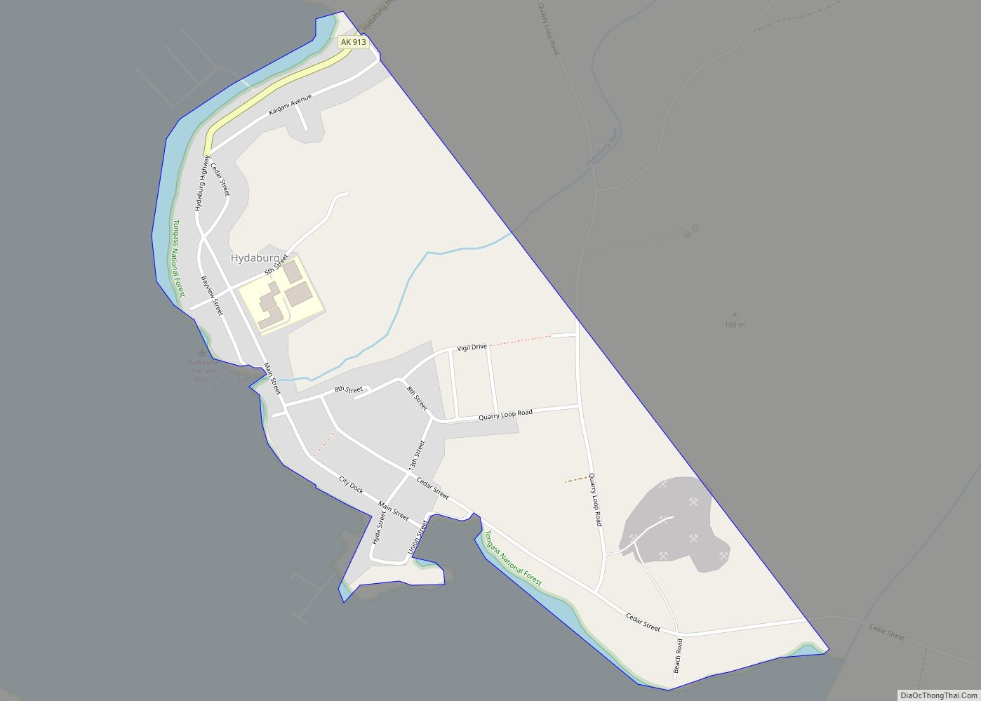
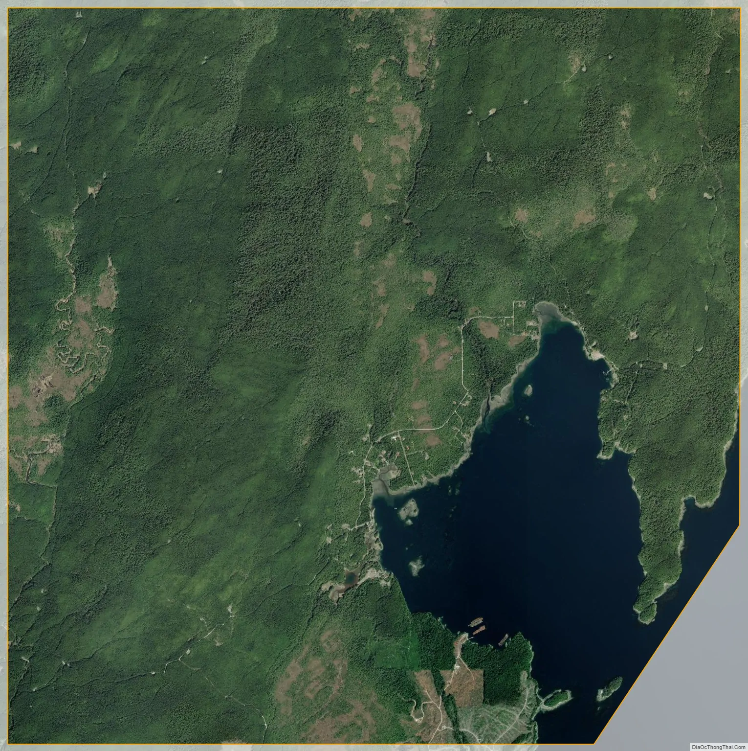
Edna Bay city Satellite Map
Geography
Edna Bay is located at 55°58′43″N 133°40′35″W / 55.97861°N 133.67639°W / 55.97861; -133.67639 (55.978539, -133.676356).
According to the United States Census Bureau, the city of Edna Bay has a total area of 58.8 square miles (152 km), of which, 56.0 square miles (145 km) of it is land and 2.8 square miles (7.3 km) of it (4.80%) is water.
See also
Map of Alaska State and its subdivision:- Aleutians East
- Aleutians West
- Anchorage
- Bethel
- Bristol Bay
- Denali
- Dillingham
- Fairbanks North Star
- Haines
- Juneau
- Kenai Peninsula
- Ketchikan Gateway
- Kodiak Island
- Lake and Peninsula
- Matanuska-Susitna
- Nome
- North Slope
- Northwest Arctic
- Prince of Wales-Outer Ketchi
- Sitka
- Skagway-Yakutat-Angoon
- Southeast Fairbanks
- Valdez-Cordova
- Wade Hampton
- Wrangell-Petersburg
- Yukon-Koyukuk
- Alabama
- Alaska
- Arizona
- Arkansas
- California
- Colorado
- Connecticut
- Delaware
- District of Columbia
- Florida
- Georgia
- Hawaii
- Idaho
- Illinois
- Indiana
- Iowa
- Kansas
- Kentucky
- Louisiana
- Maine
- Maryland
- Massachusetts
- Michigan
- Minnesota
- Mississippi
- Missouri
- Montana
- Nebraska
- Nevada
- New Hampshire
- New Jersey
- New Mexico
- New York
- North Carolina
- North Dakota
- Ohio
- Oklahoma
- Oregon
- Pennsylvania
- Rhode Island
- South Carolina
- South Dakota
- Tennessee
- Texas
- Utah
- Vermont
- Virginia
- Washington
- West Virginia
- Wisconsin
- Wyoming