Hydaburg (/ˈhaɪdəbɜːrɡ/ HY-də-burg) (Higdáa G̱ándlaay in Haida) is a first-class city in the Prince of Wales-Hyder Census Area, in the U.S. state of Alaska. The population was 382 at the 2000 census and 376 as of the 2010 census. The name “Hydaburg” refers to the Haida people.
| Name: | Hydaburg city |
|---|---|
| LSAD Code: | 25 |
| LSAD Description: | city (suffix) |
| State: | Alaska |
| County: | Prince of Wales-Hyder Census Area |
| Incorporated: | October 4, 1927 |
| Elevation: | 23 ft (7 m) |
| Total Area: | 0.29 sq mi (0.76 km²) |
| Land Area: | 0.29 sq mi (0.76 km²) |
| Water Area: | 0.00 sq mi (0.01 km²) |
| Total Population: | 380 |
| Population Density: | 1,301.37/sq mi (502.92/km²) |
| ZIP code: | 99922 |
| Area code: | 907 |
| FIPS code: | 0234460 |
| GNISfeature ID: | 1422709 |
Online Interactive Map
Click on ![]() to view map in "full screen" mode.
to view map in "full screen" mode.
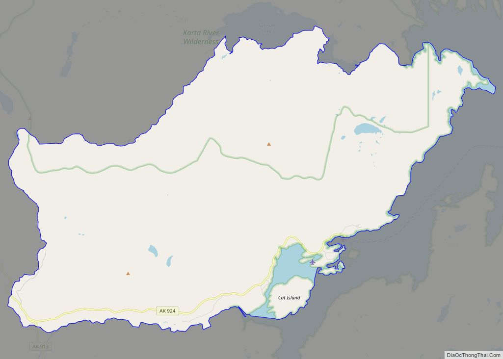
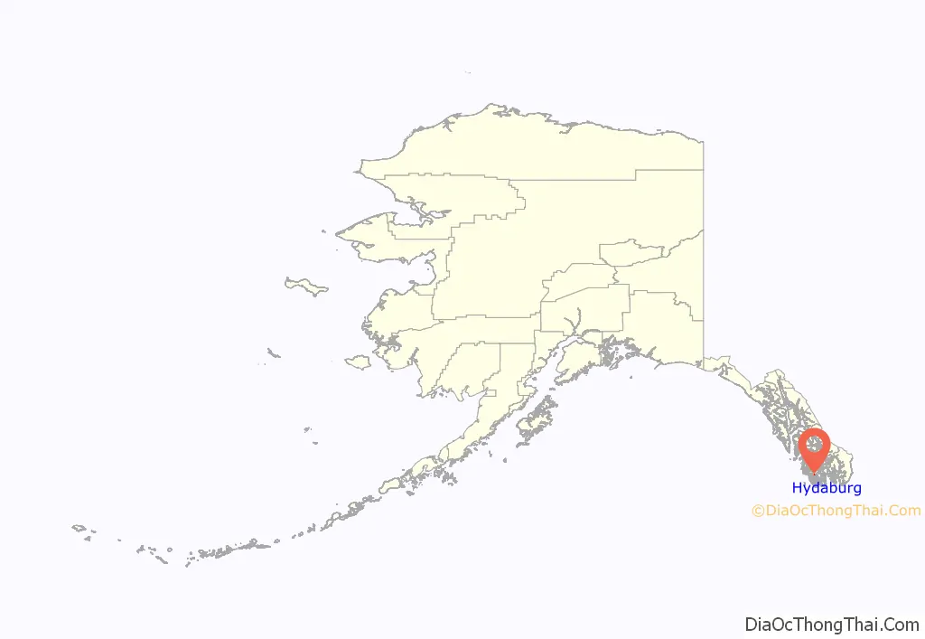
Hydaburg location map. Where is Hydaburg city?
History
Hydaburg was formed in 1911 by consolidation of the three Haida villages on Cordova Bay. These villages were Howkan on the west coast of Long Island, Sukkwan at the northern end of Sukkwan Island, across Sukkwan Strait from Hydaburg, and Klinkwan on Prince of Wales Island at the mouth of Hunter Bay. The location was chosen because it had a reliable water supply. The town was incorporated in 1927. The Hydaburg Cooperative Association was established in 1938 shortly after the Indian Reorganization Act was extended to Alaska in 1936, supplanting the municipal government. It was the first IRA-recognized Village Council in Alaska. Residents petitioned to be granted an Indian Reservation as a way of securing their rights to the surrounding land. The area had previously been designated as the Hydaburg Indian Reservation from 1912-1926 but had been returned to the Tongass National Forest at community request in 1926. The Hydaburg Indian Reservation was established under the Indian Reorganization Act in 1949 but was invalidated by a US District Court decision in 1952.
Hydaburg was designated as a second-class City in the late 1960s and became a first-class city in 1973. The Hydaburg Cooperative Association remains as the federally recognized tribe, while the Haida Corporation is the village corporation under the Alaska Native Claims Settlement Act.
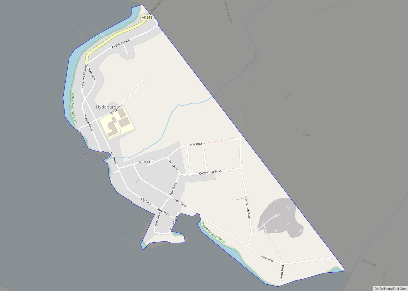
Hydaburg Road Map
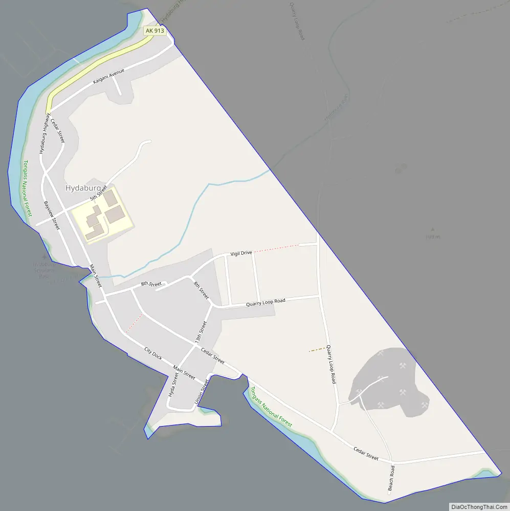
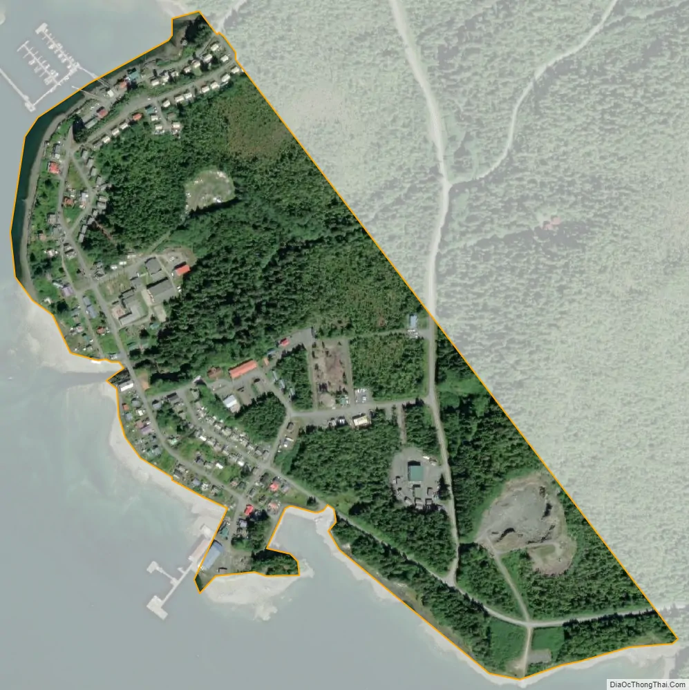
Hydaburg city Satellite Map
Geography
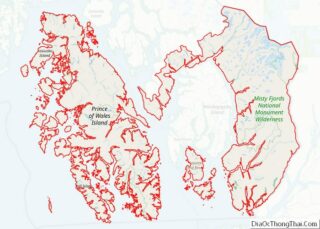
Hydaburg is located at 55°12′17″N 132°49′15″W / 55.20472°N 132.82083°W / 55.20472; -132.82083 (55.204699, -132.820859). It is the southernmost city on Prince of Wales Island. Hydaburg is located on the north shore of Sukkwan Strait, which connects to Cordova Bay through Hetta Inlet. It has the only port facility and public road access on Cordova Bay.
According to the United States Census Bureau, the city has a total area of 0.3 square miles (0.78 km), all land.
See also
Map of Alaska State and its subdivision:- Aleutians East
- Aleutians West
- Anchorage
- Bethel
- Bristol Bay
- Denali
- Dillingham
- Fairbanks North Star
- Haines
- Juneau
- Kenai Peninsula
- Ketchikan Gateway
- Kodiak Island
- Lake and Peninsula
- Matanuska-Susitna
- Nome
- North Slope
- Northwest Arctic
- Prince of Wales-Outer Ketchi
- Sitka
- Skagway-Yakutat-Angoon
- Southeast Fairbanks
- Valdez-Cordova
- Wade Hampton
- Wrangell-Petersburg
- Yukon-Koyukuk
- Alabama
- Alaska
- Arizona
- Arkansas
- California
- Colorado
- Connecticut
- Delaware
- District of Columbia
- Florida
- Georgia
- Hawaii
- Idaho
- Illinois
- Indiana
- Iowa
- Kansas
- Kentucky
- Louisiana
- Maine
- Maryland
- Massachusetts
- Michigan
- Minnesota
- Mississippi
- Missouri
- Montana
- Nebraska
- Nevada
- New Hampshire
- New Jersey
- New Mexico
- New York
- North Carolina
- North Dakota
- Ohio
- Oklahoma
- Oregon
- Pennsylvania
- Rhode Island
- South Carolina
- South Dakota
- Tennessee
- Texas
- Utah
- Vermont
- Virginia
- Washington
- West Virginia
- Wisconsin
- Wyoming