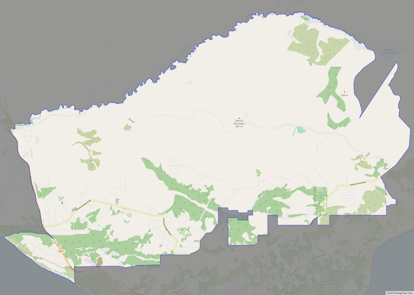
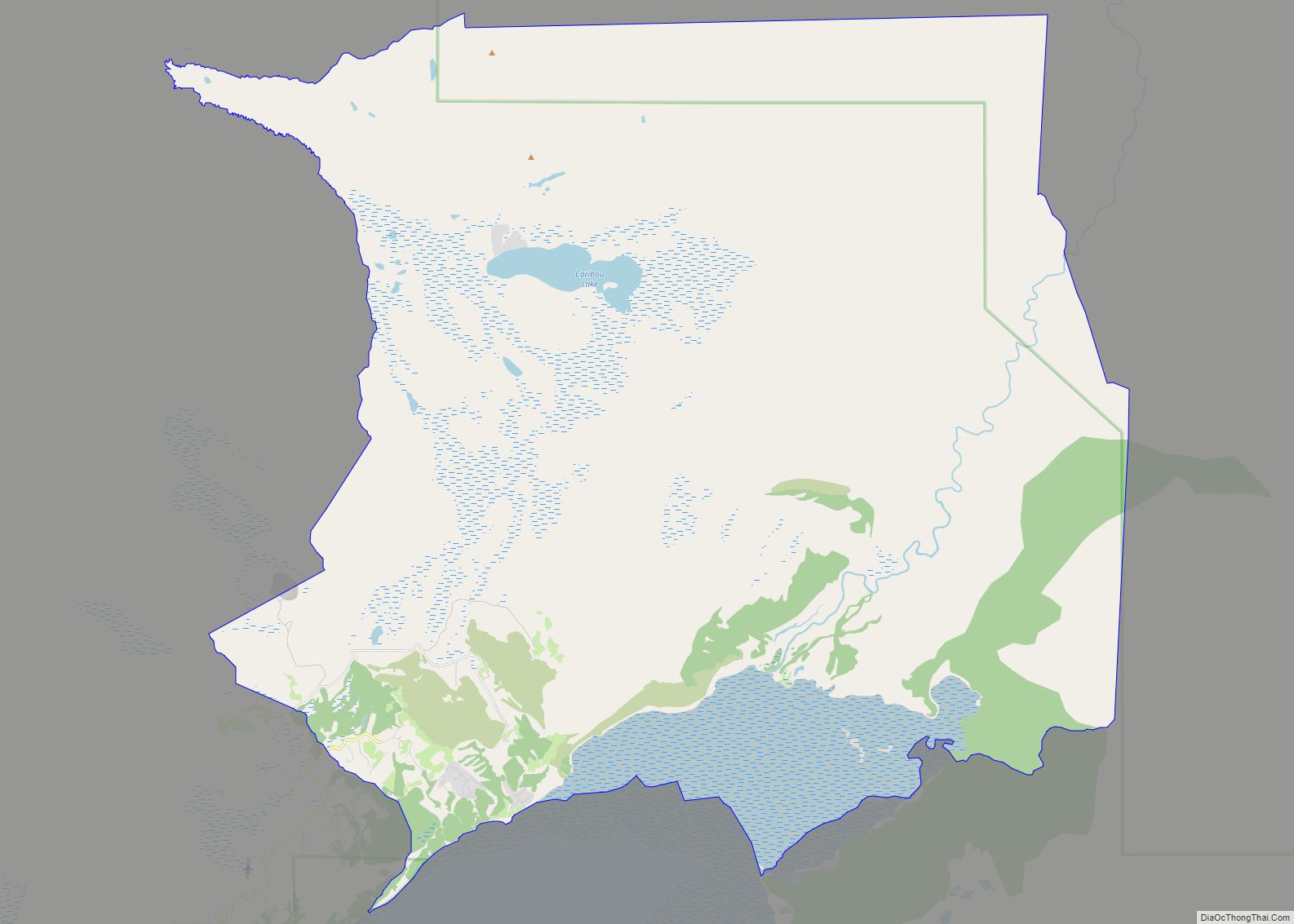
Kalifornsky (Tanaina: Unhghenesditnu) is a census-designated place (CDP) in Kenai Peninsula Borough, Alaska, United States. The population was 8,487 at the 2020 census, up from 7,850 in 2010. It is the most populated locality in the borough.
| Name: | Kalifornsky CDP |
|---|---|
| LSAD Code: | 57 |
| LSAD Description: | CDP (suffix) |
| State: | Alaska |
| County: | Kenai Peninsula Borough |
| Elevation: | 23 ft (7 m) |
| Total Area: | 69.74 sq mi (180.63 km²) |
| Land Area: | 68.72 sq mi (177.99 km²) |
| Water Area: | 1.02 sq mi (2.64 km²) |
| Total Population: | 8,487 |
| Population Density: | 123.5/sq mi (47.68/km²) |
| Area code: | 907 |
| FIPS code: | 0237250 |
| GNISfeature ID: | 1413260 |
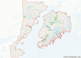
Online Interactive Map
Click on ![]() to view map in "full screen" mode.
to view map in "full screen" mode.
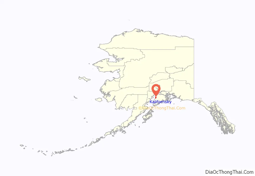
Kalifornsky location map. Where is Kalifornsky CDP?
History
The Dena’ina name for Kalifornsky is Unhghenesditnu, meaning ‘farthest creek over’.
The place name “Kalifonsky” (omitting the letter “r”) was noted in 1916 by the U.S. Coast and Geodetic Survey, with its etymology attributed to an Indian word kali meaning “fishermen”.
However, this place name appears to have been due to a mistaken transcription of the village name “Kalifornsky”, which took its name from the surname of the village’s founder, a Dena’ina Indian named Qadanalchen (meaning “acts quickly” in the Outer Inlet dialect of the Dena’ina language). Qadanalchen had worked at the Russian American colony of Fort Ross in California from about 1812 to about 1821. On his return to Alaska, Qadanalchen took the name “Kalifornsky”, the Russian equivalent of “Californian”.
Qadanalchen’s great-great-grandson, the self-taught Dena’ina writer and ethnographer Peter Kalifornsky (1911–1993), was born in Kalifornsky village, which lay about 10 miles (16 km) south of Kenai and 4 miles (6 km) north of the mouth of the Kasilof River.
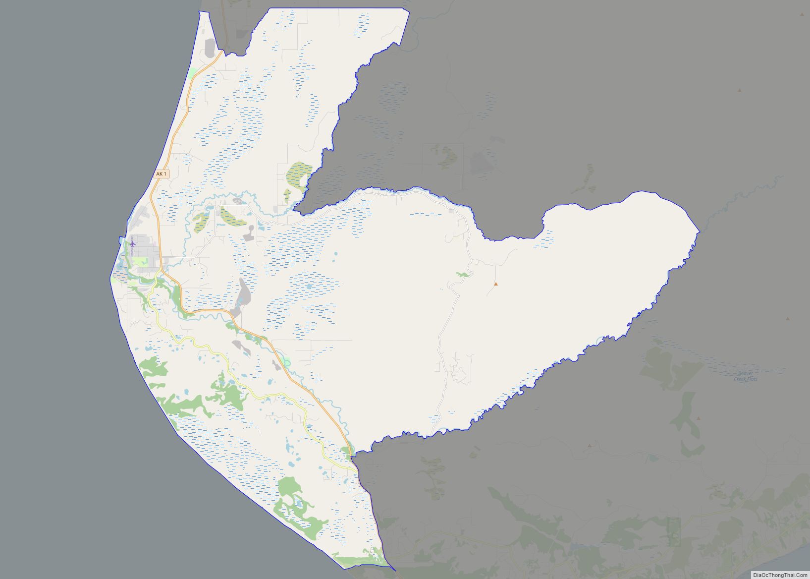
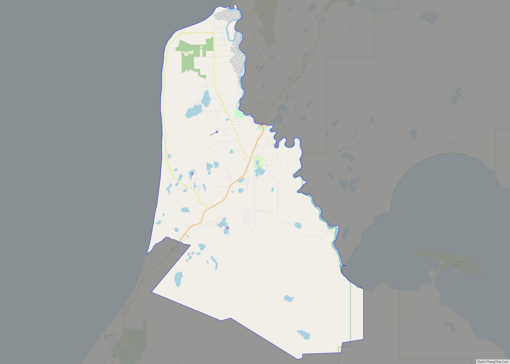
Kalifornsky Road Map
Kalifornsky city Satellite Map
See also
Map of Alaska State and its subdivision:- Aleutians East
- Aleutians West
- Anchorage
- Bethel
- Bristol Bay
- Denali
- Dillingham
- Fairbanks North Star
- Haines
- Juneau
- Kenai Peninsula
- Ketchikan Gateway
- Kodiak Island
- Lake and Peninsula
- Matanuska-Susitna
- Nome
- North Slope
- Northwest Arctic
- Prince of Wales-Outer Ketchi
- Sitka
- Skagway-Yakutat-Angoon
- Southeast Fairbanks
- Valdez-Cordova
- Wade Hampton
- Wrangell-Petersburg
- Yukon-Koyukuk
- Alabama
- Alaska
- Arizona
- Arkansas
- California
- Colorado
- Connecticut
- Delaware
- District of Columbia
- Florida
- Georgia
- Hawaii
- Idaho
- Illinois
- Indiana
- Iowa
- Kansas
- Kentucky
- Louisiana
- Maine
- Maryland
- Massachusetts
- Michigan
- Minnesota
- Mississippi
- Missouri
- Montana
- Nebraska
- Nevada
- New Hampshire
- New Jersey
- New Mexico
- New York
- North Carolina
- North Dakota
- Ohio
- Oklahoma
- Oregon
- Pennsylvania
- Rhode Island
- South Carolina
- South Dakota
- Tennessee
- Texas
- Utah
- Vermont
- Virginia
- Washington
- West Virginia
- Wisconsin
- Wyoming
