Kasaan /kəˈsæn/ (Haida: Gasa’áan; Tlingit: Kasa’aan) is a city in the Prince of Wales-Hyder Census Area in the U.S. state of Alaska. The population was 49 at the 2010 census, up from 39 in 2000. The name “Kasaan” comes from Tlingit Kasa’aan, meaning “pretty town”.
| Name: | Kasaan city |
|---|---|
| LSAD Code: | 25 |
| LSAD Description: | city (suffix) |
| State: | Alaska |
| County: | Prince of Wales-Hyder Census Area |
| Incorporated: | 1976 |
| Elevation: | 13 ft (4 m) |
| Total Area: | 6.80 sq mi (17.61 km²) |
| Land Area: | 6.06 sq mi (15.70 km²) |
| Water Area: | 0.73 sq mi (1.90 km²) |
| Total Population: | 30 |
| Population Density: | 4.95/sq mi (1.91/km²) |
| Area code: | 907 |
| FIPS code: | 0237650 |
| GNISfeature ID: | 1404468 |
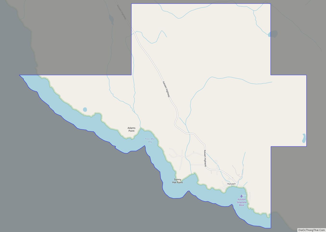
Online Interactive Map
Click on ![]() to view map in "full screen" mode.
to view map in "full screen" mode.
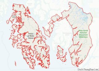
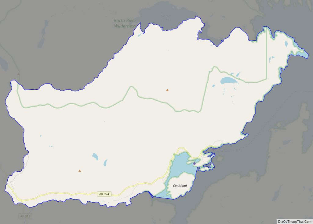
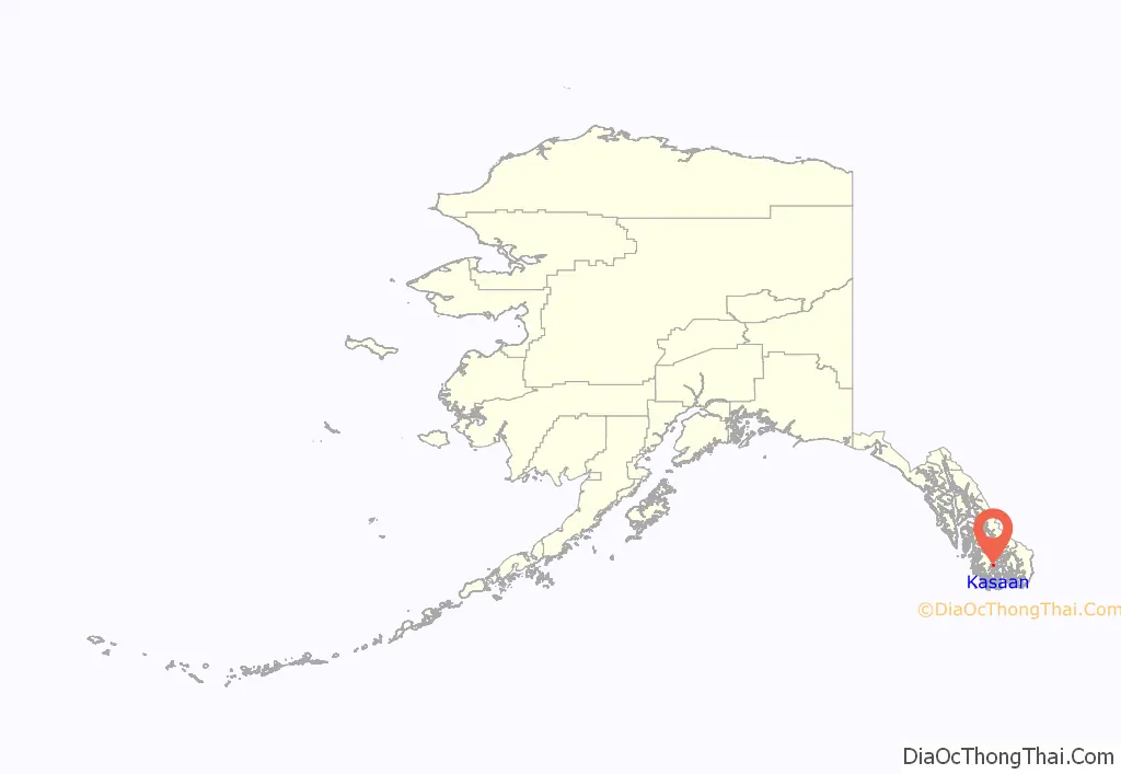
Kasaan location map. Where is Kasaan city?
History
Kasaan is one of the main historical communities of the Kaigani Haida. It is the most northernly Haida settlement. It was established by the Haida in protohistoric times or earlier, as part of a migration across the Dixon Entrance, from Dadens and other villages of Langara Island, Haida Gwaii, to Dall Island and Prince of Wales Island.
Beginning in the late 1700s, European and American ships began regularly visiting and trading with Kasaan and the rest of the Haida. Most early visiting ships were part of the maritime fur trade. The nearby trading site, “Kaigani”, was one of the most popular on the Pacific Northwest coast. This trade brought wealth, but also disease; the first smallpox epidemic hit Kasaan in 1794. A rough census was taken of Kasaan between 1836 and 1841 by John Work of the Hudson’s Bay Company. He reported 249 people living in the village. The 1862 Pacific Northwest smallpox epidemic killed over 70% of all Haida people. The first official census was taken in 1880, and lists only 173 at Kasaan. In the 1880s and 1890s, Alaska Steamship Company boats regularly visited a nearby fish saltery and packing business, and sometimes Kasaan. Tourists visiting Kasaan helped spark trade in Haida artifacts and new artwork.
Residents moved from their former village on Skowl Arm (now called Old Kasaan), starting in 1893, and mostly in the period 1902–1904. In 1901, the leaders of Kasaan were persuaded by the Kasaan Bay Mining Company to relocate the entire village to a new site closer to the copper mine. This migration was prompted by the promise of jobs and a school occasioned by development of copper mining and a cannery near the present location. Kasaan was established as a city in 1976.
Old Kasaan was completely abandoned by 1904, and the remains were partly destroyed by fire in 1915. The site was declared a national monument in 1916, though Old Kasaan National Monument was largely neglected and a planned restoration was not done. In 1938 five historic and three replica totem poles were moved to New Kasaan. In 1955, the site was removed from the National Park System. It became Forest Service jurisdiction, which established a 38-acre Old Kasaan Village Historical Area in 1957. The relocated totem poles and a relocated house in New Kasaan were designated the Chief Son-I-Hat’s Whale House and Totems Historic District in 2002.
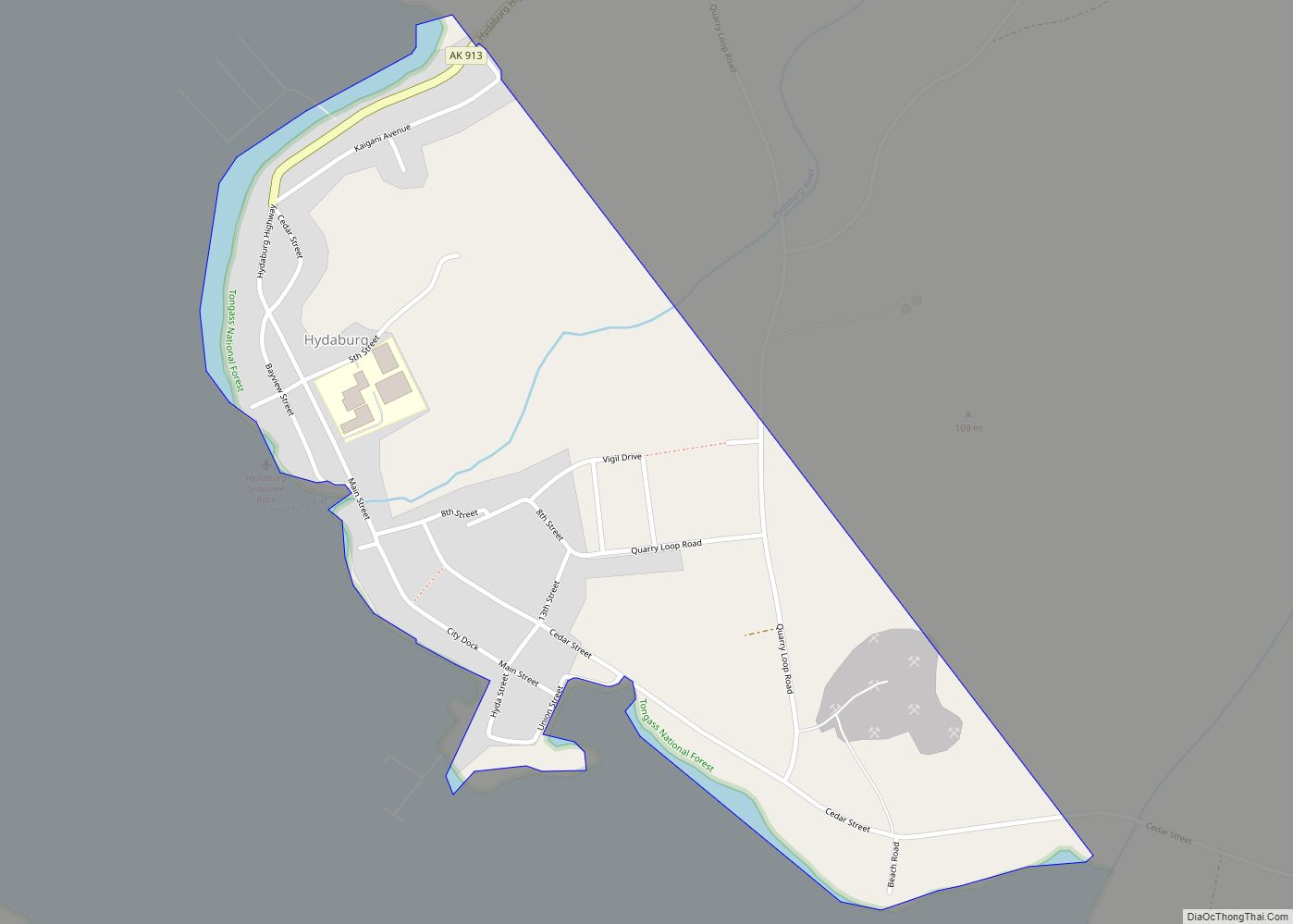
Kasaan Road Map
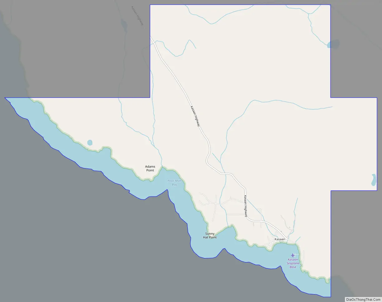
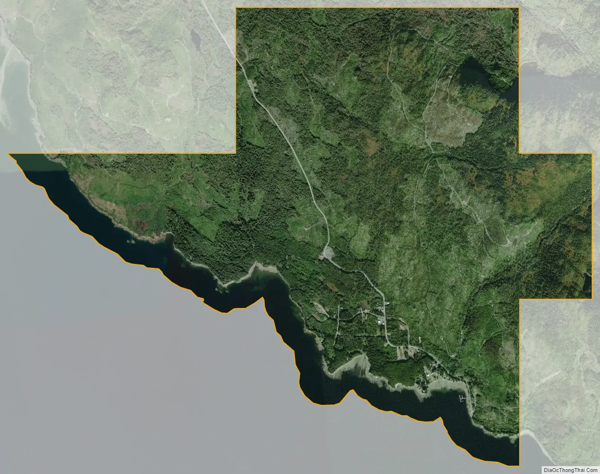
Kasaan city Satellite Map
Geography
Kasaan is located at 55°32′30″N 132°24′7″W / 55.54167°N 132.40194°W / 55.54167; -132.40194 (55.541748, -132.401821).
According to the United States Census Bureau, the city has a total area of 6.2 square miles (16 km), of which, 5.3 square miles (14 km) of it is land and 0.9 square miles (2.3 km) of it (14.58%) is water.
Kasaan means “pretty town” in the Tlingit language.
See also
Map of Alaska State and its subdivision:- Aleutians East
- Aleutians West
- Anchorage
- Bethel
- Bristol Bay
- Denali
- Dillingham
- Fairbanks North Star
- Haines
- Juneau
- Kenai Peninsula
- Ketchikan Gateway
- Kodiak Island
- Lake and Peninsula
- Matanuska-Susitna
- Nome
- North Slope
- Northwest Arctic
- Prince of Wales-Outer Ketchi
- Sitka
- Skagway-Yakutat-Angoon
- Southeast Fairbanks
- Valdez-Cordova
- Wade Hampton
- Wrangell-Petersburg
- Yukon-Koyukuk
- Alabama
- Alaska
- Arizona
- Arkansas
- California
- Colorado
- Connecticut
- Delaware
- District of Columbia
- Florida
- Georgia
- Hawaii
- Idaho
- Illinois
- Indiana
- Iowa
- Kansas
- Kentucky
- Louisiana
- Maine
- Maryland
- Massachusetts
- Michigan
- Minnesota
- Mississippi
- Missouri
- Montana
- Nebraska
- Nevada
- New Hampshire
- New Jersey
- New Mexico
- New York
- North Carolina
- North Dakota
- Ohio
- Oklahoma
- Oregon
- Pennsylvania
- Rhode Island
- South Carolina
- South Dakota
- Tennessee
- Texas
- Utah
- Vermont
- Virginia
- Washington
- West Virginia
- Wisconsin
- Wyoming