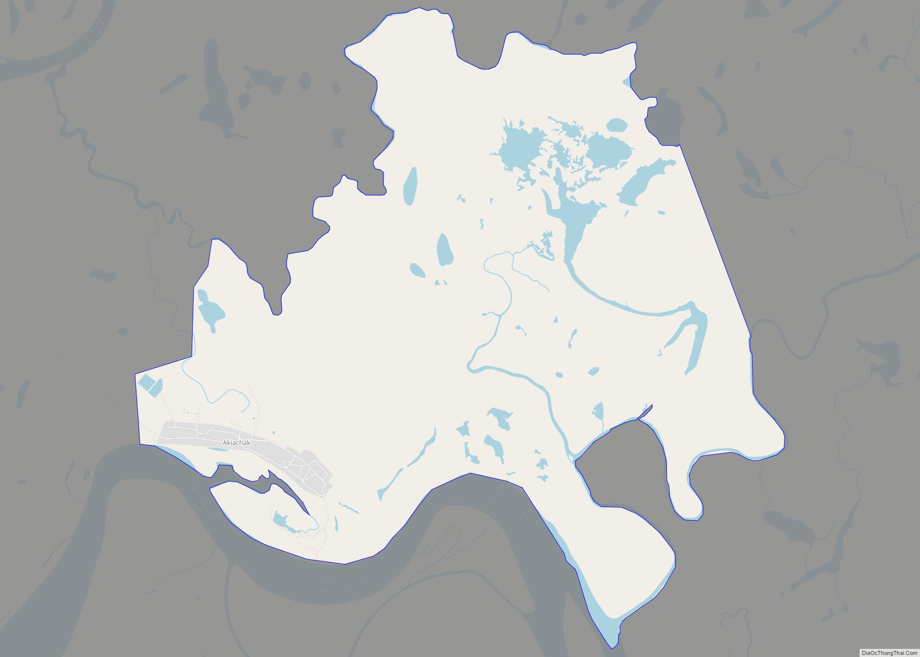
Kasigluk /kəˈsɪɡlʊk/ (Central Yupik: Kassigluq) is a census-designated place (CDP) in the Bethel Census Area in the U.S. state of Alaska. At the 2010 census the population was 569, up from 543 in 2000. Kasigluk consists of two smaller villages, called Akiuk and Akula.
| Name: | Kasigluk CDP |
|---|---|
| LSAD Code: | 57 |
| LSAD Description: | CDP (suffix) |
| State: | Alaska |
| County: | Bethel Census Area |
| Total Area: | 12.87 sq mi (33.33 km²) |
| Land Area: | 11.81 sq mi (30.58 km²) |
| Water Area: | 1.06 sq mi (2.75 km²) |
| Total Population: | 623 |
| Population Density: | 52.76/sq mi (20.37/km²) |
| ZIP code: | 99609 |
| Area code: | 907 |
| FIPS code: | 0237975 |
Online Interactive Map
Click on ![]() to view map in "full screen" mode.
to view map in "full screen" mode.
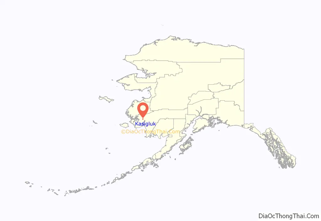
Kasigluk location map. Where is Kasigluk CDP?
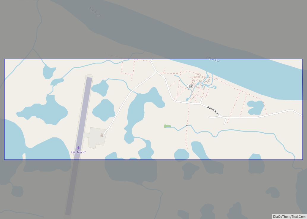
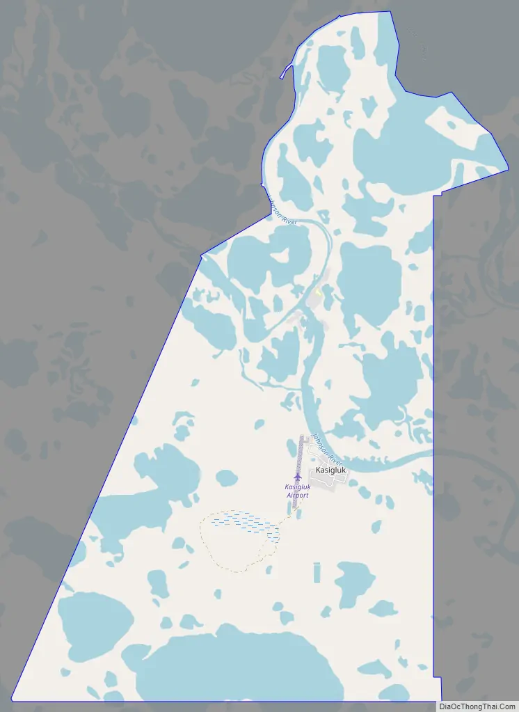
Kasigluk Road Map
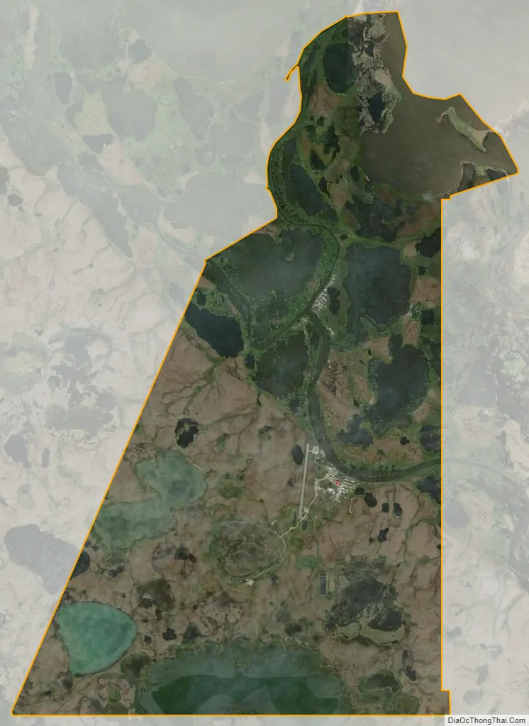
Kasigluk city Satellite Map
Geography
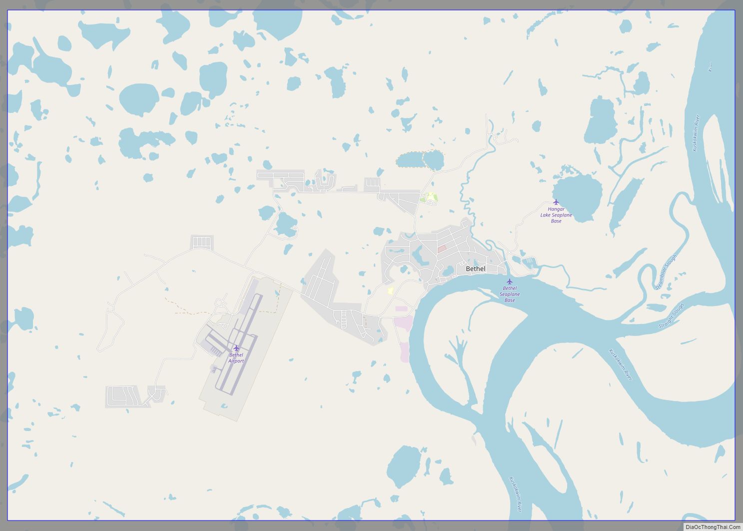
Kasigluk is located at 60°53′31″N 162°32′9″W / 60.89194°N 162.53583°W / 60.89194; -162.53583 (60.892005, -162.535805) along the Johnson River in the Yukon–Kuskokwim Delta of western Alaska. It is approximately 20 miles (32 km) northwest of Bethel.
According to the United States Census Bureau, the CDP has a total area of 13.1 square miles (34.0 km), of which 12.1 square miles (31.3 km) is land and 1.0 square mile (2.7 km), or 7.94%, is water.
The village is served by the Kasigluk Airport.
See also
Map of Alaska State and its subdivision:- Aleutians East
- Aleutians West
- Anchorage
- Bethel
- Bristol Bay
- Denali
- Dillingham
- Fairbanks North Star
- Haines
- Juneau
- Kenai Peninsula
- Ketchikan Gateway
- Kodiak Island
- Lake and Peninsula
- Matanuska-Susitna
- Nome
- North Slope
- Northwest Arctic
- Prince of Wales-Outer Ketchi
- Sitka
- Skagway-Yakutat-Angoon
- Southeast Fairbanks
- Valdez-Cordova
- Wade Hampton
- Wrangell-Petersburg
- Yukon-Koyukuk
- Alabama
- Alaska
- Arizona
- Arkansas
- California
- Colorado
- Connecticut
- Delaware
- District of Columbia
- Florida
- Georgia
- Hawaii
- Idaho
- Illinois
- Indiana
- Iowa
- Kansas
- Kentucky
- Louisiana
- Maine
- Maryland
- Massachusetts
- Michigan
- Minnesota
- Mississippi
- Missouri
- Montana
- Nebraska
- Nevada
- New Hampshire
- New Jersey
- New Mexico
- New York
- North Carolina
- North Dakota
- Ohio
- Oklahoma
- Oregon
- Pennsylvania
- Rhode Island
- South Carolina
- South Dakota
- Tennessee
- Texas
- Utah
- Vermont
- Virginia
- Washington
- West Virginia
- Wisconsin
- Wyoming