Kipnuk (Central Yupik: Qipneq) is a census-designated place (CDP) in Bethel Census Area, Alaska, United States. At the 2010 census the population was 639, down from 644 in 2000.
Kipnuk consists mostly of Yup’ik speaking Native Alaskans; the name means a “bend” referring to the bend in the (Qukaqliq) Kugkaktlik River where it is situated. The original settlement was situated along “Nukallpiarcunarli”, a slough feeding into the (Qukaqliq) Kugkaktlik. This slough was thus named, because it was hard to detect. It was ideal for ambushing “Nukallpiaqs” or warrior/providers.
| Name: | Kipnuk CDP |
|---|---|
| LSAD Code: | 57 |
| LSAD Description: | CDP (suffix) |
| State: | Alaska |
| County: | Bethel Census Area |
| Elevation: | 11 ft (3 m) |
| Total Area: | 20.57 sq mi (53.28 km²) |
| Land Area: | 20.26 sq mi (52.48 km²) |
| Water Area: | 0.31 sq mi (0.80 km²) |
| Total Population: | 704 |
| Population Density: | 34.74/sq mi (13.41/km²) |
| ZIP code: | 99614 |
| Area code: | 907 |
| FIPS code: | 0239740 |
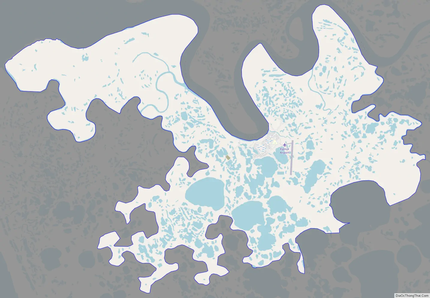
Online Interactive Map
Click on ![]() to view map in "full screen" mode.
to view map in "full screen" mode.
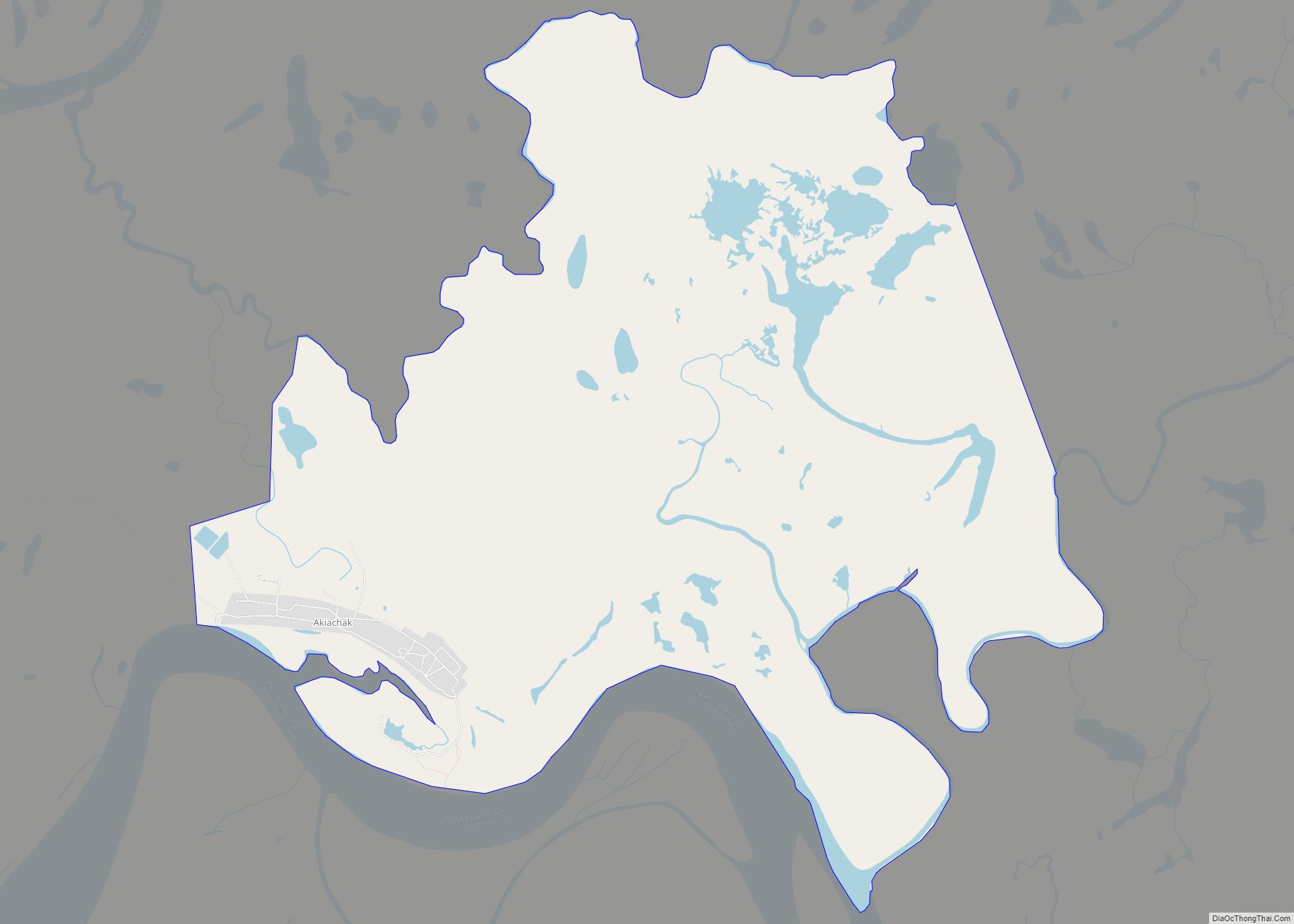
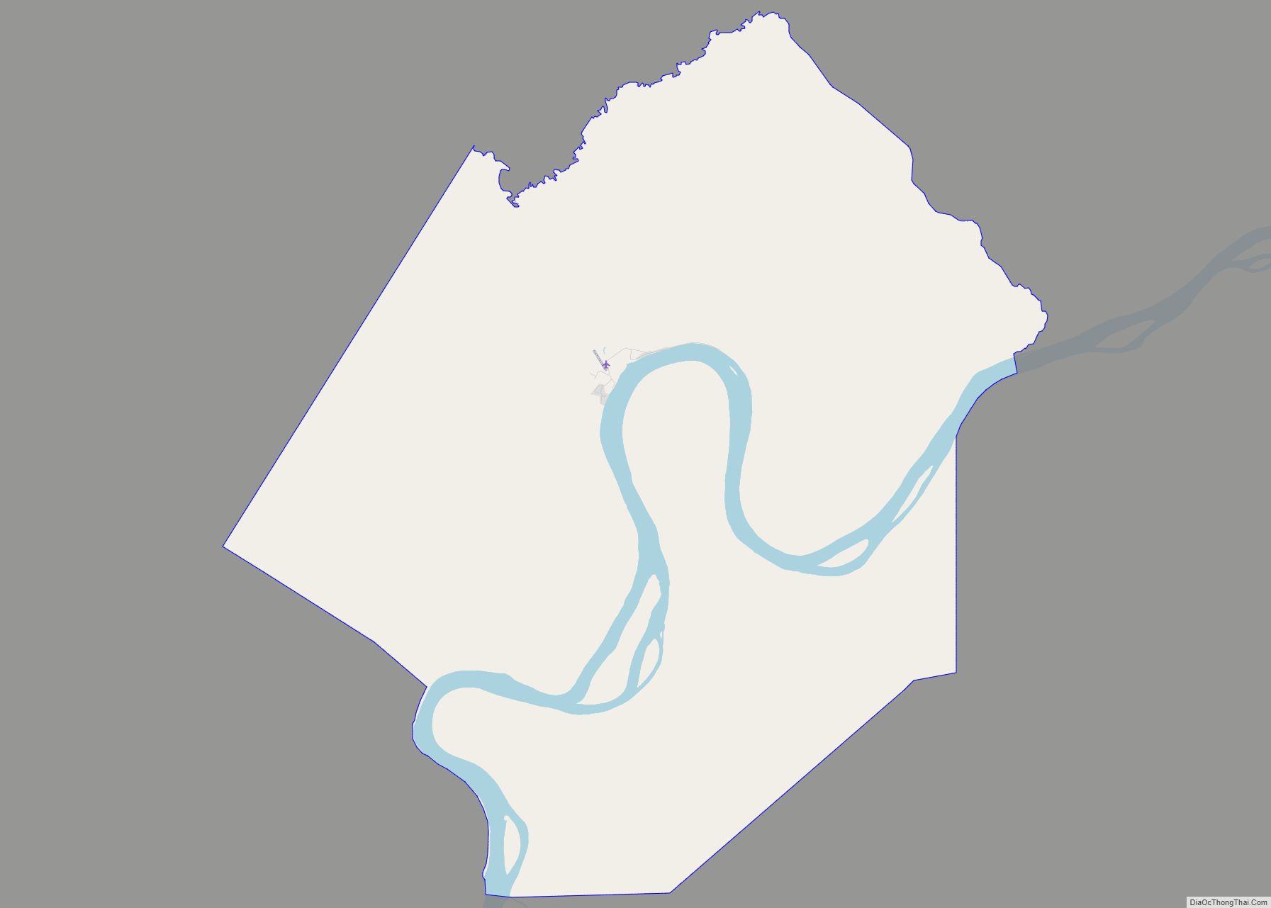
Kipnuk location map. Where is Kipnuk CDP?
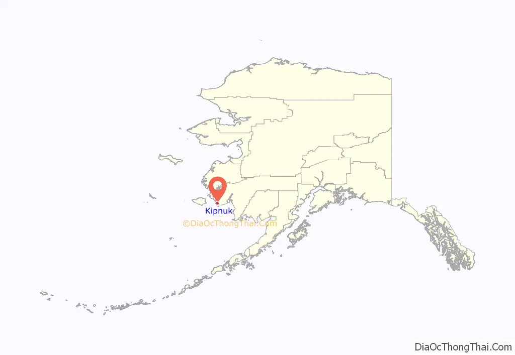
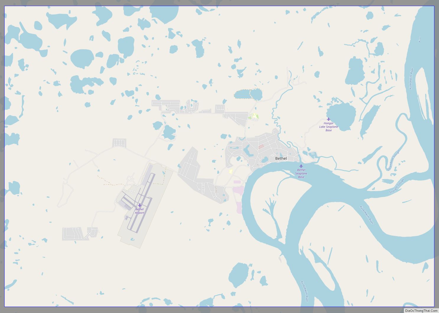
Kipnuk Road Map
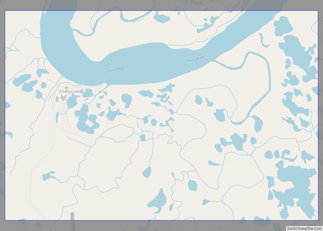
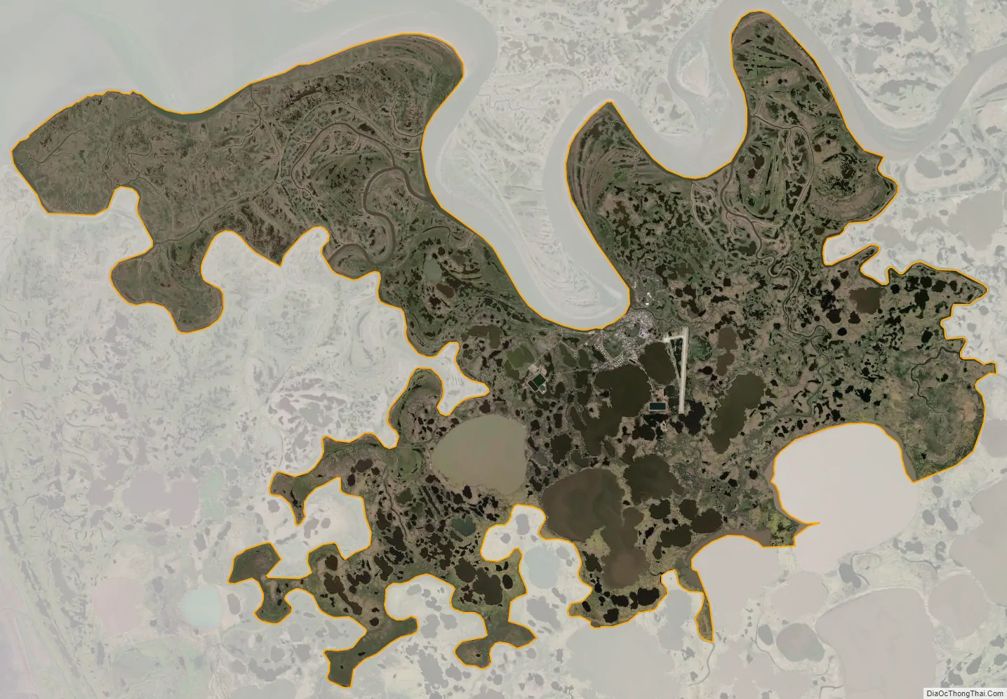
Kipnuk city Satellite Map
Geography
Kipnuk is located at 59°56′15″N 164°2′38″W / 59.93750°N 164.04389°W / 59.93750; -164.04389 (59.937619, -164.043926).
According to the United States Census Bureau, the CDP has a total area of 19.6 square miles (51 km), of which, 19.4 square miles (50 km) of it is land and 0.2 square miles (0.52 km) of it (1.22%) is water.
Kipnuk is served by Kipnuk Airport.
See also
Map of Alaska State and its subdivision:- Aleutians East
- Aleutians West
- Anchorage
- Bethel
- Bristol Bay
- Denali
- Dillingham
- Fairbanks North Star
- Haines
- Juneau
- Kenai Peninsula
- Ketchikan Gateway
- Kodiak Island
- Lake and Peninsula
- Matanuska-Susitna
- Nome
- North Slope
- Northwest Arctic
- Prince of Wales-Outer Ketchi
- Sitka
- Skagway-Yakutat-Angoon
- Southeast Fairbanks
- Valdez-Cordova
- Wade Hampton
- Wrangell-Petersburg
- Yukon-Koyukuk
- Alabama
- Alaska
- Arizona
- Arkansas
- California
- Colorado
- Connecticut
- Delaware
- District of Columbia
- Florida
- Georgia
- Hawaii
- Idaho
- Illinois
- Indiana
- Iowa
- Kansas
- Kentucky
- Louisiana
- Maine
- Maryland
- Massachusetts
- Michigan
- Minnesota
- Mississippi
- Missouri
- Montana
- Nebraska
- Nevada
- New Hampshire
- New Jersey
- New Mexico
- New York
- North Carolina
- North Dakota
- Ohio
- Oklahoma
- Oregon
- Pennsylvania
- Rhode Island
- South Carolina
- South Dakota
- Tennessee
- Texas
- Utah
- Vermont
- Virginia
- Washington
- West Virginia
- Wisconsin
- Wyoming