Kivalina (kiv-uh-LEE-nuh) (Inupiaq: Kivalliñiq) is a city and village in Northwest Arctic Borough, Alaska, United States. The population was 377 at the 2000 census and 374 as of the 2010 census.
The island on which the village lies is threatened by rising sea levels and coastal erosion caused by climate change. As of 2013, it is predicted that the island will be inundated by 2025. In addition to well-publicized impacts of climate change, the Village of Kivalina has been a party in several environmentally related court cases.
| Name: | Kivalina city |
|---|---|
| LSAD Code: | 25 |
| LSAD Description: | city (suffix) |
| State: | Alaska |
| County: | Northwest Arctic Borough |
| Incorporated: | June 23, 1969 |
| Elevation: | 13 ft (4 m) |
| Total Area: | 4.16 sq mi (10.78 km²) |
| Land Area: | 1.63 sq mi (4.23 km²) |
| Water Area: | 2.53 sq mi (6.55 km²) |
| Total Population: | 444 |
| Population Density: | 272.23/sq mi (105.08/km²) |
| ZIP code: | 99750 |
| Area code: | 907 |
| FIPS code: | 0239960 |
| GNISfeature ID: | 1413348 |
Online Interactive Map
Click on ![]() to view map in "full screen" mode.
to view map in "full screen" mode.
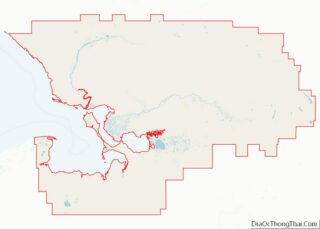
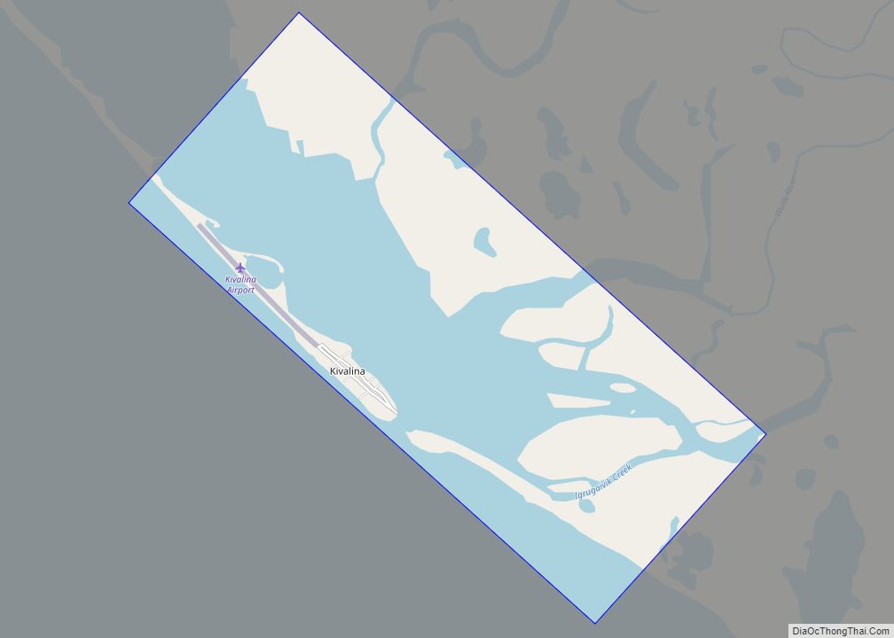
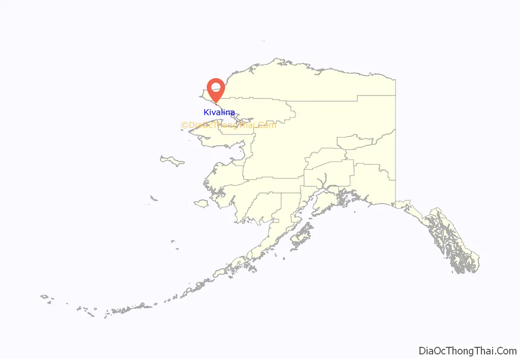
Kivalina location map. Where is Kivalina city?
History
Kivalina is an Inupiat community first reported as “Kivualinagmut” in 1847 by Lt. Lavrenty Zagoskin of the Imperial Russian Navy. It has long been a stopping place for travelers between Arctic coastal areas and Kotzebue Sound communities. Three bodies and artifacts were found in 2009 representing the Ipiutak culture, a pre-Thule, non-whaling civilization that disappeared over a millennium ago.
It is the only village in the region where people hunt the bowhead whale. The original village was located at the north end of the Kivalina Lagoon, but was relocated.
In about 1900, reindeer were brought to the area and some people were trained as reindeer herders.
An airstrip was built at Kivalina in 1960. Kivalina incorporated as a second-class city in 1969. During the 1970s, a new school and an electric system were constructed in the city.
On December 5, 2014 the only general store in Kivalina burned down. In July 2015, a newer store was opened after months of rebuilding to make the store more convenient and safe.
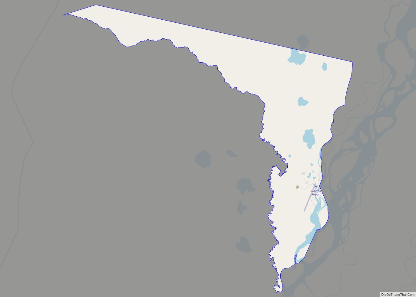
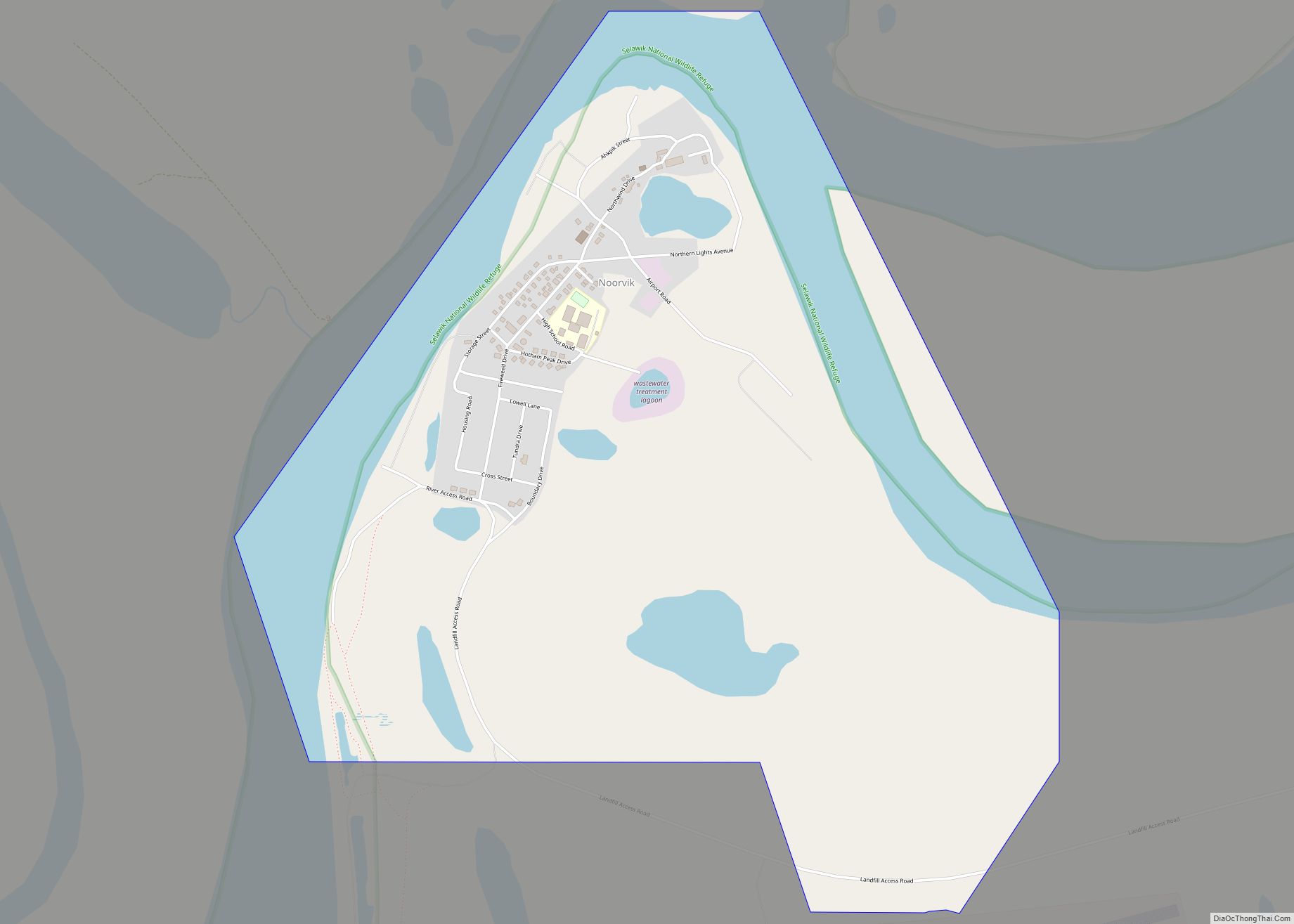
Kivalina Road Map
Kivalina city Satellite Map
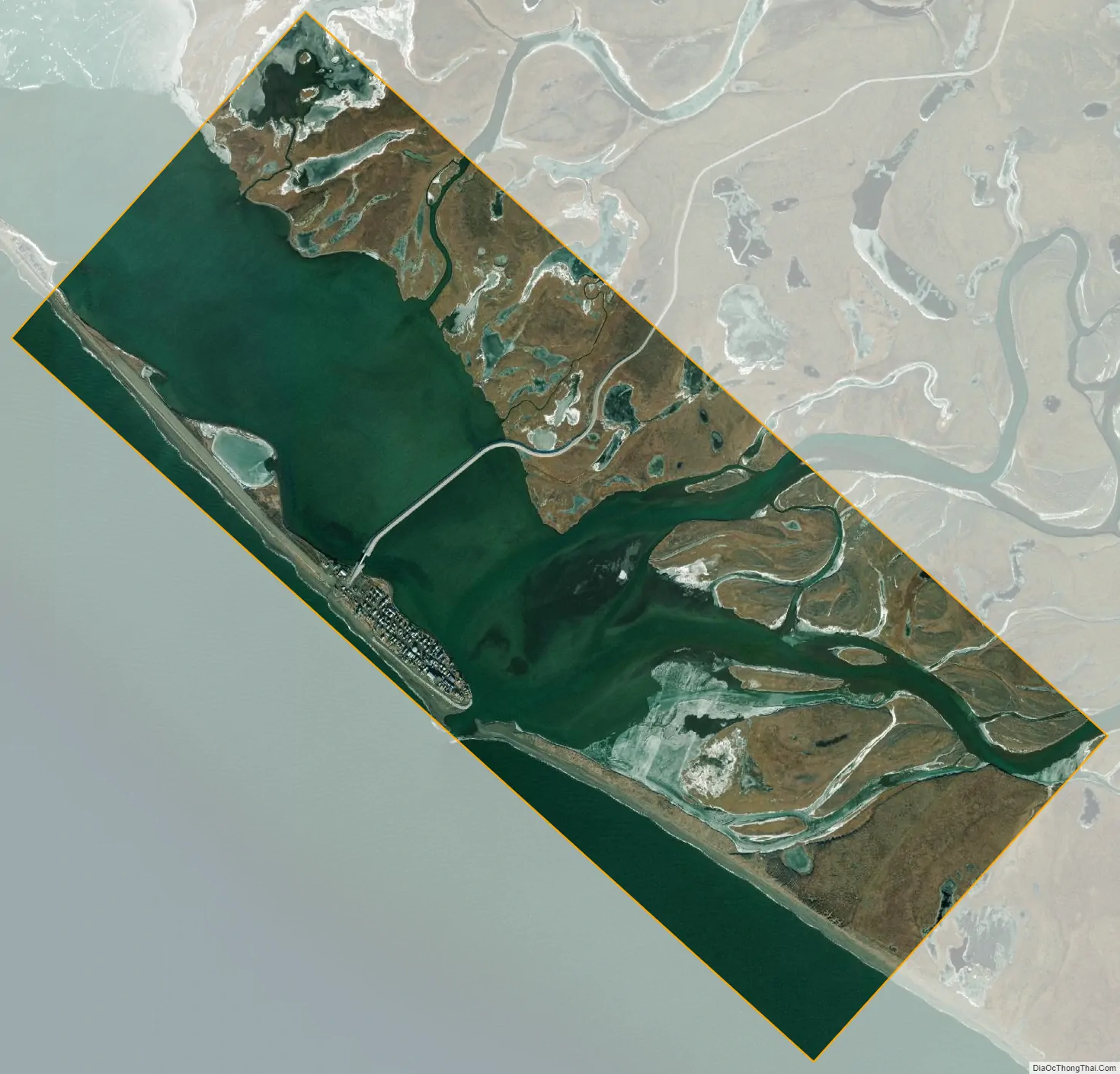
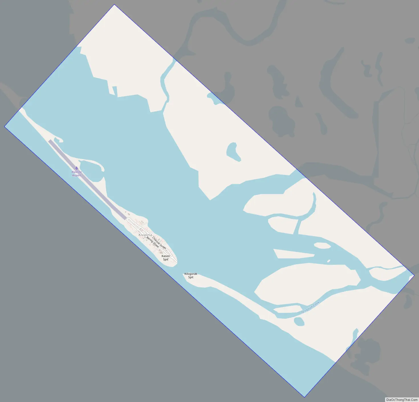
Geography
Kivalina is on the southern tip of a 12 km (7.5 mi) long barrier island located between the Chukchi Sea and a lagoon at the mouth of the Kivalina River. It lies 130 km (81 mi) northwest of Kotzebue. According to the United States Census Bureau, the village has a total area of 3.9 square miles (10 km), of which, 1.9 square miles (4.9 km) of it is land and 2.0 square miles (5.2 km) of it (51.55%) is water.
See also
Map of Alaska State and its subdivision:- Aleutians East
- Aleutians West
- Anchorage
- Bethel
- Bristol Bay
- Denali
- Dillingham
- Fairbanks North Star
- Haines
- Juneau
- Kenai Peninsula
- Ketchikan Gateway
- Kodiak Island
- Lake and Peninsula
- Matanuska-Susitna
- Nome
- North Slope
- Northwest Arctic
- Prince of Wales-Outer Ketchi
- Sitka
- Skagway-Yakutat-Angoon
- Southeast Fairbanks
- Valdez-Cordova
- Wade Hampton
- Wrangell-Petersburg
- Yukon-Koyukuk
- Alabama
- Alaska
- Arizona
- Arkansas
- California
- Colorado
- Connecticut
- Delaware
- District of Columbia
- Florida
- Georgia
- Hawaii
- Idaho
- Illinois
- Indiana
- Iowa
- Kansas
- Kentucky
- Louisiana
- Maine
- Maryland
- Massachusetts
- Michigan
- Minnesota
- Mississippi
- Missouri
- Montana
- Nebraska
- Nevada
- New Hampshire
- New Jersey
- New Mexico
- New York
- North Carolina
- North Dakota
- Ohio
- Oklahoma
- Oregon
- Pennsylvania
- Rhode Island
- South Carolina
- South Dakota
- Tennessee
- Texas
- Utah
- Vermont
- Virginia
- Washington
- West Virginia
- Wisconsin
- Wyoming