Kobuk (Inupiaq: Laugviik) is a city in Northwest Arctic Borough, Alaska, United States. At the 2010 census the population was 151, up from 109 in 2000.
| Name: | Kobuk city |
|---|---|
| LSAD Code: | 25 |
| LSAD Description: | city (suffix) |
| State: | Alaska |
| County: | Northwest Arctic Borough |
| Incorporated: | September 25, 1973 |
| Elevation: | 148 ft (45 m) |
| Total Area: | 16.02 sq mi (41.49 km²) |
| Land Area: | 15.51 sq mi (40.16 km²) |
| Water Area: | 0.51 sq mi (1.33 km²) |
| Total Population: | 191 |
| Population Density: | 12.32/sq mi (4.76/km²) |
| ZIP code: | 99751 |
| Area code: | 907 |
| FIPS code: | 0240840 |
| GNISfeature ID: | 1413362 |
Online Interactive Map
Click on ![]() to view map in "full screen" mode.
to view map in "full screen" mode.
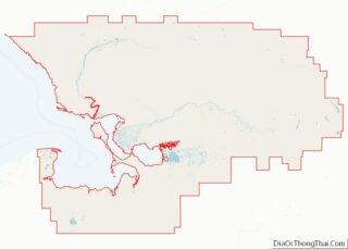
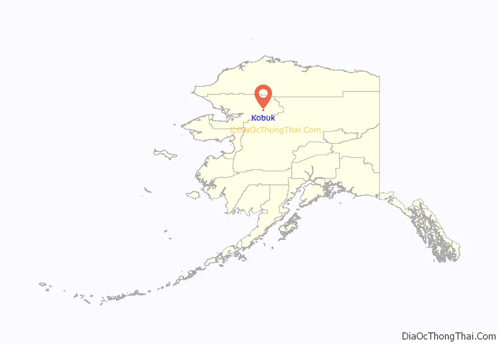
Kobuk location map. Where is Kobuk city?
History
Kobuk was founded in 1899 as the village of Shungnak, a supply point for miners north of the Kobuk River in the Cosmos Hills. A trading post, school, and mission were built and residents came to the settlement. In the 1920s, river erosion led many residents to relocate ten miles downstream (west) to a site called “Kochuk.” Kochuk became the new Shungnak, while the original Shungnak became Kobuk in 1928.
In May 1973, a flood covered the entire village. In September of the same year, it incorporated as a city.
The economy of Kobuk is based on subsistence hunting for caribou and moose.
The first postmaster at Kobuk (when it was still called Shungnak) was Martin F. Moran, appointed September 24, 1903.
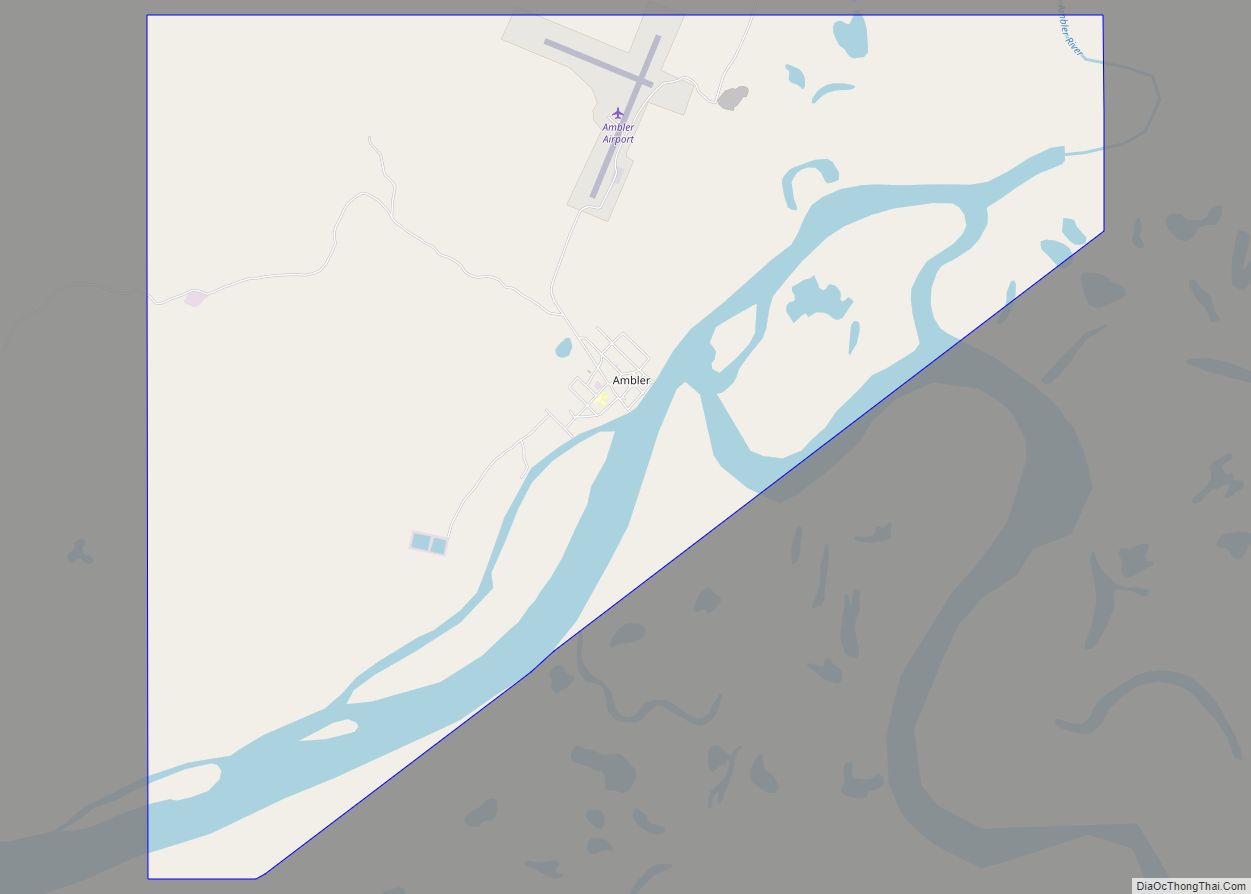
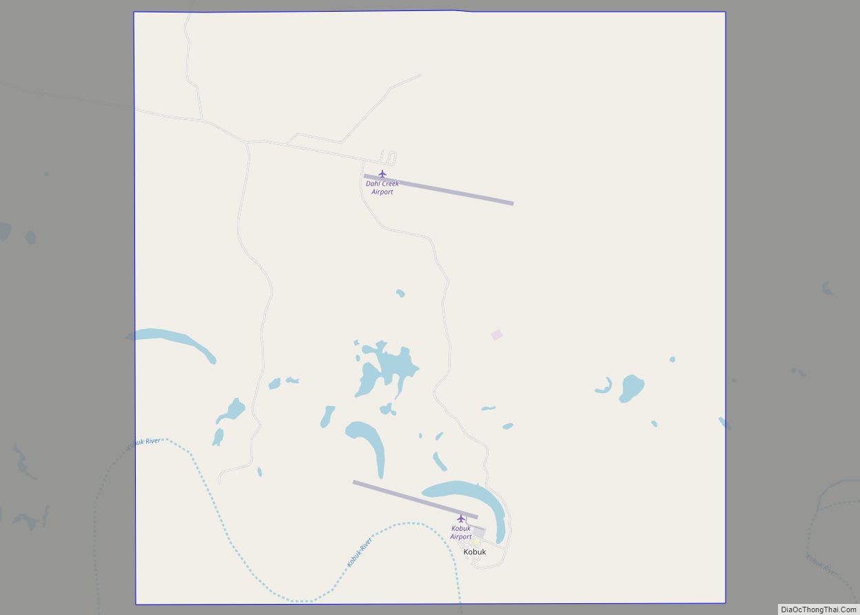
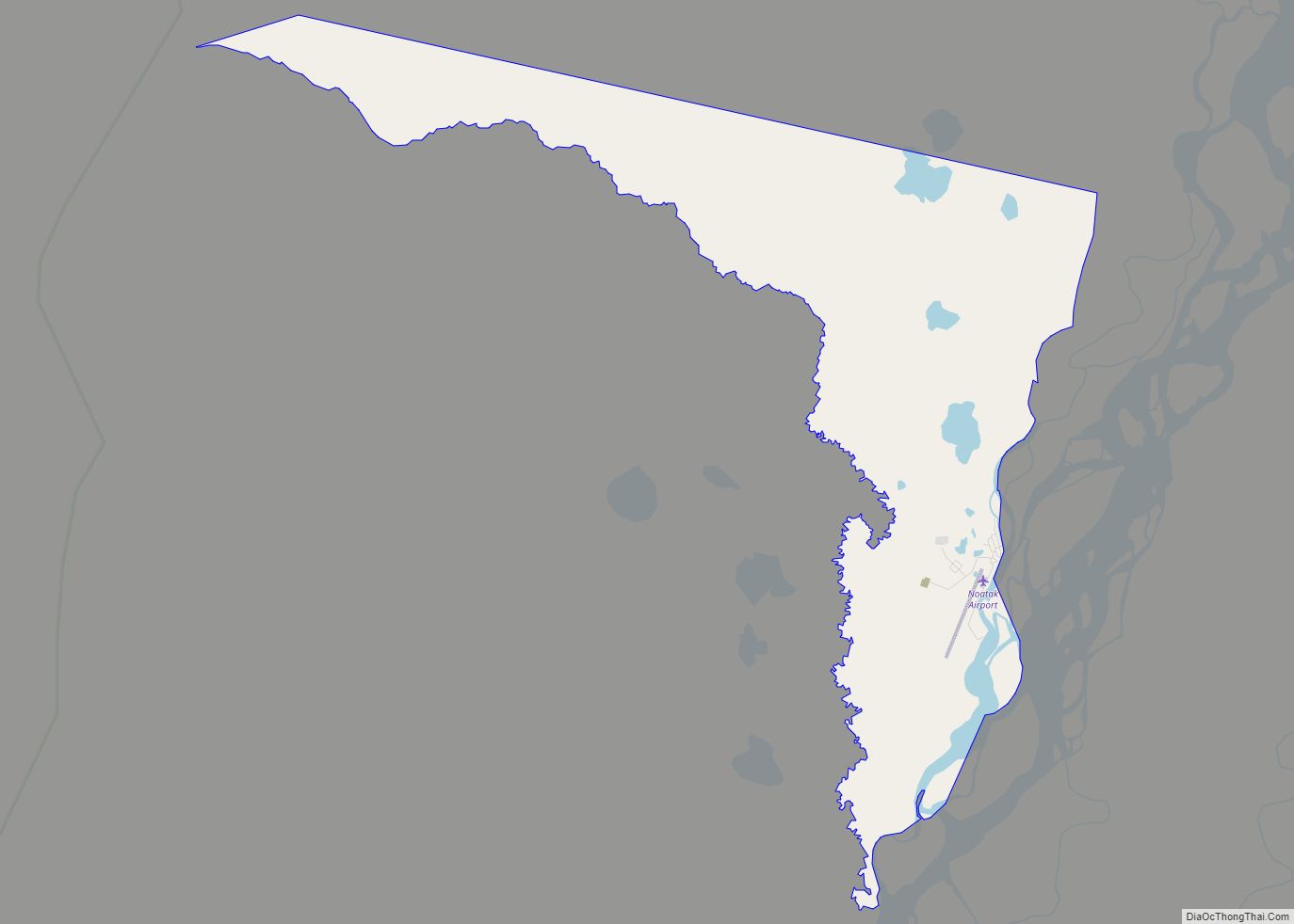
Kobuk Road Map
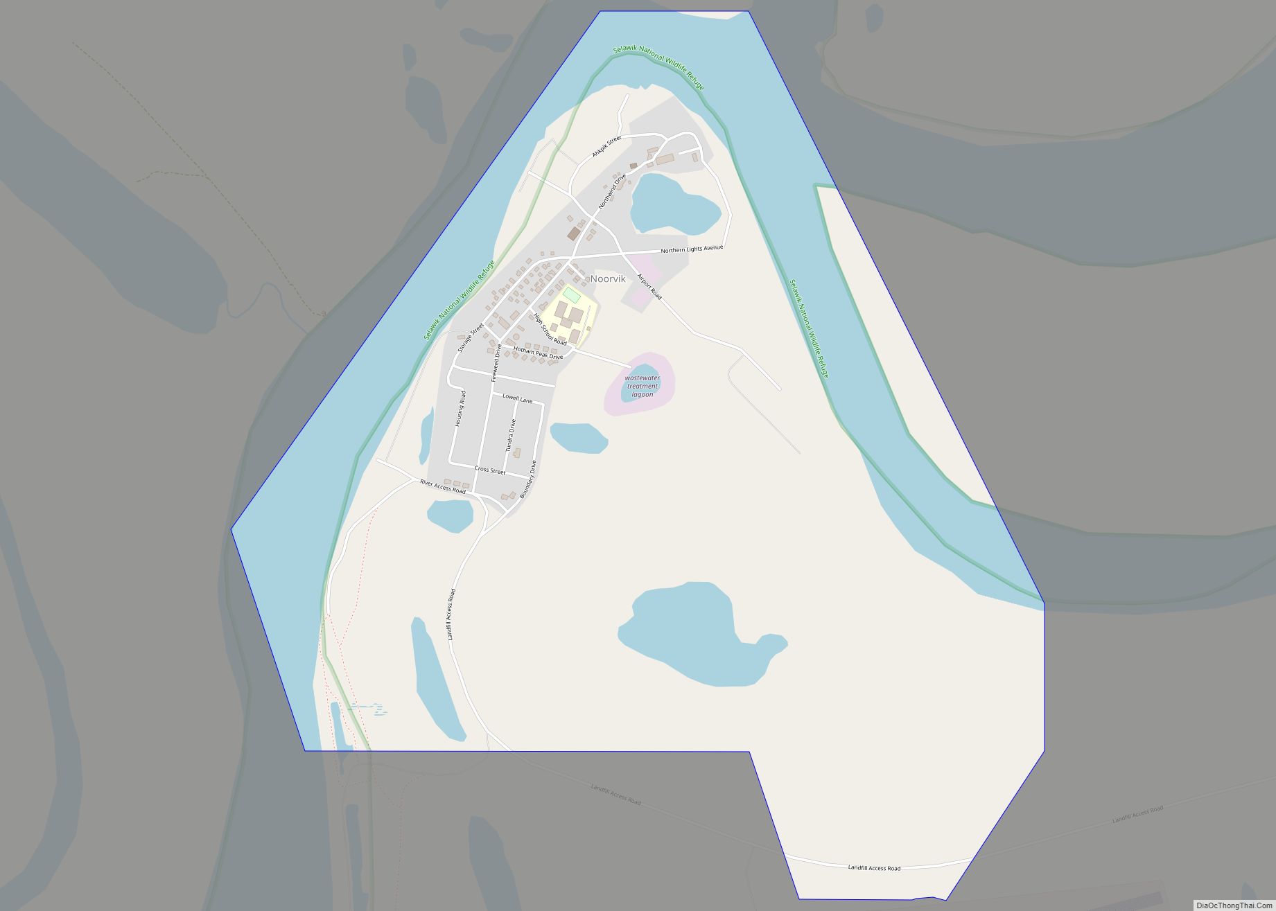
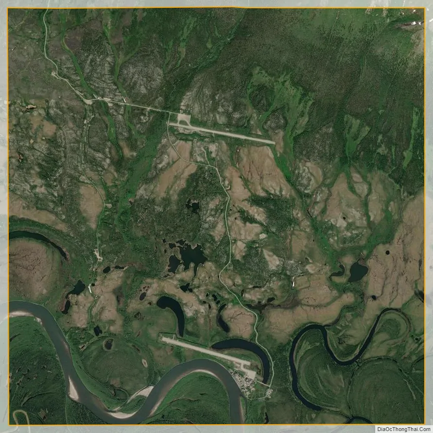
Kobuk city Satellite Map
Geography
Kobuk has a typical subarctic climate (Köppen climate classification: Dfc), bordering on a dry-winter subarctic climate (Köppen climate classification: Dwc).
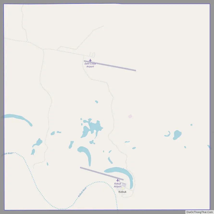
Kobuk is located at 66°55′3″N 156°54′25″W / 66.91750°N 156.90694°W / 66.91750; -156.90694 (66.917579, -156.906829).
Kobuk is located on the bank of the Kobuk River, 10 km (6.2 mi) northeast of Shungnak. It is near Kobuk Valley National Park.
According to the United States Census Bureau, the city has a total area of 16.8 square miles (44 km), of which, 16.1 square miles (42 km) of it is land and 0.7 square miles (1.8 km) of it (4.34%) is water.
See also
Map of Alaska State and its subdivision:- Aleutians East
- Aleutians West
- Anchorage
- Bethel
- Bristol Bay
- Denali
- Dillingham
- Fairbanks North Star
- Haines
- Juneau
- Kenai Peninsula
- Ketchikan Gateway
- Kodiak Island
- Lake and Peninsula
- Matanuska-Susitna
- Nome
- North Slope
- Northwest Arctic
- Prince of Wales-Outer Ketchi
- Sitka
- Skagway-Yakutat-Angoon
- Southeast Fairbanks
- Valdez-Cordova
- Wade Hampton
- Wrangell-Petersburg
- Yukon-Koyukuk
- Alabama
- Alaska
- Arizona
- Arkansas
- California
- Colorado
- Connecticut
- Delaware
- District of Columbia
- Florida
- Georgia
- Hawaii
- Idaho
- Illinois
- Indiana
- Iowa
- Kansas
- Kentucky
- Louisiana
- Maine
- Maryland
- Massachusetts
- Michigan
- Minnesota
- Mississippi
- Missouri
- Montana
- Nebraska
- Nevada
- New Hampshire
- New Jersey
- New Mexico
- New York
- North Carolina
- North Dakota
- Ohio
- Oklahoma
- Oregon
- Pennsylvania
- Rhode Island
- South Carolina
- South Dakota
- Tennessee
- Texas
- Utah
- Vermont
- Virginia
- Washington
- West Virginia
- Wisconsin
- Wyoming