Lime Village (Hekdichen Hdakaq’ in Dena’ina) is a census-designated place (CDP) in Bethel Census Area, Alaska, United States. The 2010 census found a population of 29, down from 46 in 2000. It has also been known as Hungry Village.
In July 2008, Lime Village gained notoriety when it was reported that their gasoline prices were more than double of the already-high national average of over $4/gallon with Lime Village selling regular unleaded gasoline at $8.55/gallon. The high prices were considered ironic considering that Alaska is one of the main suppliers of oil in the United States, but have the highest state average due to scattered villages throughout Alaska such as Lime Village making it difficult to transport oil and other goods.
| Name: | Lime Village CDP |
|---|---|
| LSAD Code: | 57 |
| LSAD Description: | CDP (suffix) |
| State: | Alaska |
| County: | Bethel Census Area |
| Total Area: | 78.71 sq mi (203.87 km²) |
| Land Area: | 76.52 sq mi (198.19 km²) |
| Water Area: | 2.19 sq mi (5.67 km²) |
| Total Population: | 13 |
| Population Density: | 0.17/sq mi (0.07/km²) |
| Area code: | 907 |
| FIPS code: | 0244030 |
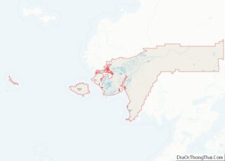
Online Interactive Map
Click on ![]() to view map in "full screen" mode.
to view map in "full screen" mode.
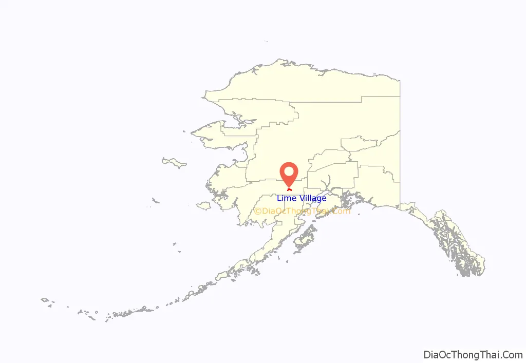
Lime Village location map. Where is Lime Village CDP?
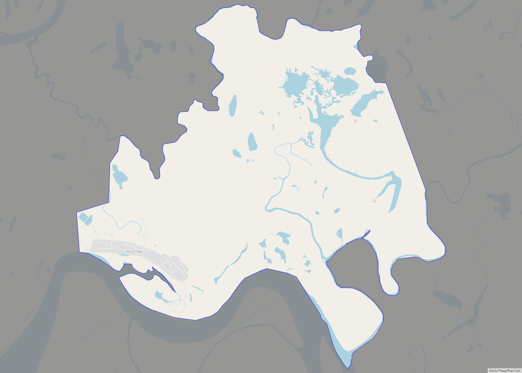
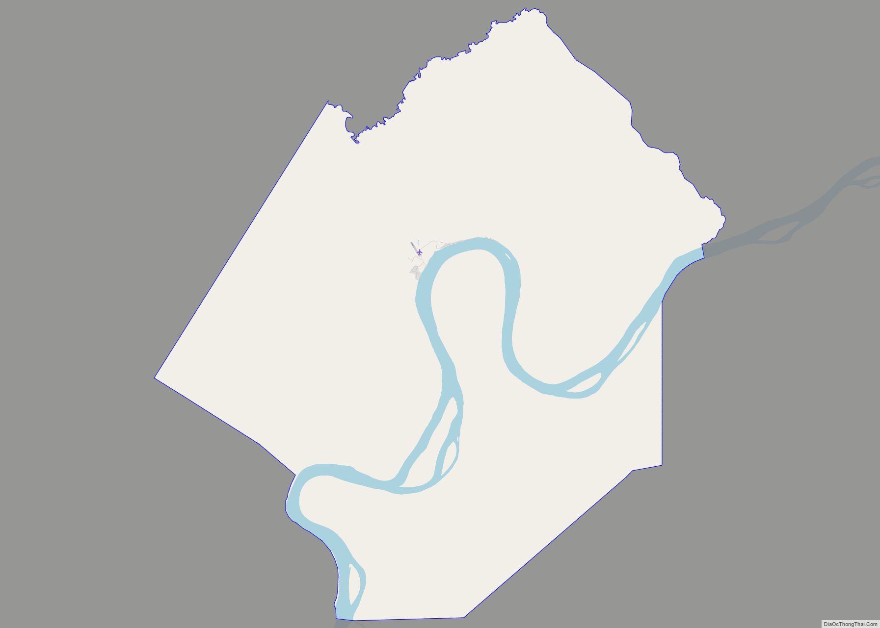
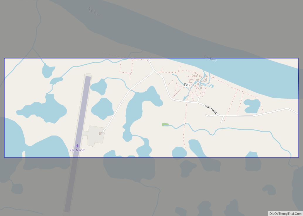
Lime Village Road Map
Lime Village city Satellite Map
Geography
Lime Village is located at 61°20′29″N 155°29′27″W / 61.34139°N 155.49083°W / 61.34139; -155.49083 (61.341383, -155.490944).
According to the United States Census Bureau, the CDP has a total area of 82.5 square miles (214 km), of which, 80.3 square miles (208 km) of it is land and 2.2 square miles (5.7 km) of it (2.67%) is water.
See also
Map of Alaska State and its subdivision:- Aleutians East
- Aleutians West
- Anchorage
- Bethel
- Bristol Bay
- Denali
- Dillingham
- Fairbanks North Star
- Haines
- Juneau
- Kenai Peninsula
- Ketchikan Gateway
- Kodiak Island
- Lake and Peninsula
- Matanuska-Susitna
- Nome
- North Slope
- Northwest Arctic
- Prince of Wales-Outer Ketchi
- Sitka
- Skagway-Yakutat-Angoon
- Southeast Fairbanks
- Valdez-Cordova
- Wade Hampton
- Wrangell-Petersburg
- Yukon-Koyukuk
- Alabama
- Alaska
- Arizona
- Arkansas
- California
- Colorado
- Connecticut
- Delaware
- District of Columbia
- Florida
- Georgia
- Hawaii
- Idaho
- Illinois
- Indiana
- Iowa
- Kansas
- Kentucky
- Louisiana
- Maine
- Maryland
- Massachusetts
- Michigan
- Minnesota
- Mississippi
- Missouri
- Montana
- Nebraska
- Nevada
- New Hampshire
- New Jersey
- New Mexico
- New York
- North Carolina
- North Dakota
- Ohio
- Oklahoma
- Oregon
- Pennsylvania
- Rhode Island
- South Carolina
- South Dakota
- Tennessee
- Texas
- Utah
- Vermont
- Virginia
- Washington
- West Virginia
- Wisconsin
- Wyoming
