Lower Kalskag (Central Yupik: Qalqaq; Russian: Лоуэр-Калскаг) is a city in Bethel Census Area, Alaska, United States. It is twenty-six miles west of Aniak. At the 2010 census the population was 282, up from 267 in 2000.
| Name: | Lower Kalskag city |
|---|---|
| LSAD Code: | 25 |
| LSAD Description: | city (suffix) |
| State: | Alaska |
| County: | Bethel Census Area |
| Incorporated: | 1969 |
| Elevation: | 26 ft (8 m) |
| Total Area: | 1.75 sq mi (4.53 km²) |
| Land Area: | 1.24 sq mi (3.22 km²) |
| Water Area: | 0.51 sq mi (1.31 km²) |
| Total Population: | 278 |
| Population Density: | 223.47/sq mi (86.27/km²) |
| ZIP code: | 99626 |
| Area code: | 907 |
| FIPS code: | 0245460 |
| GNISfeature ID: | 1405763 |
Online Interactive Map
Click on ![]() to view map in "full screen" mode.
to view map in "full screen" mode.
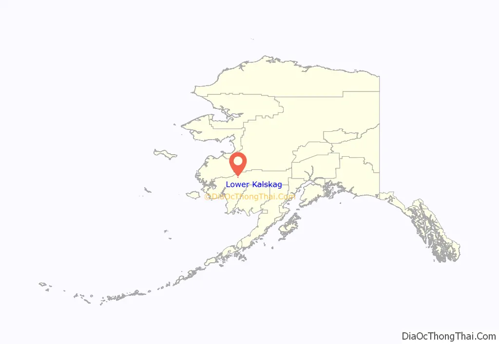
Lower Kalskag location map. Where is Lower Kalskag city?
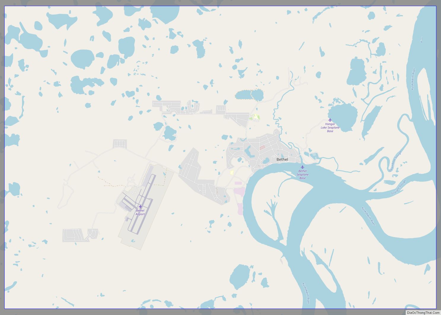
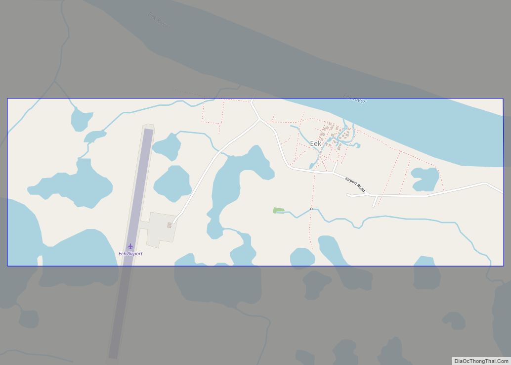
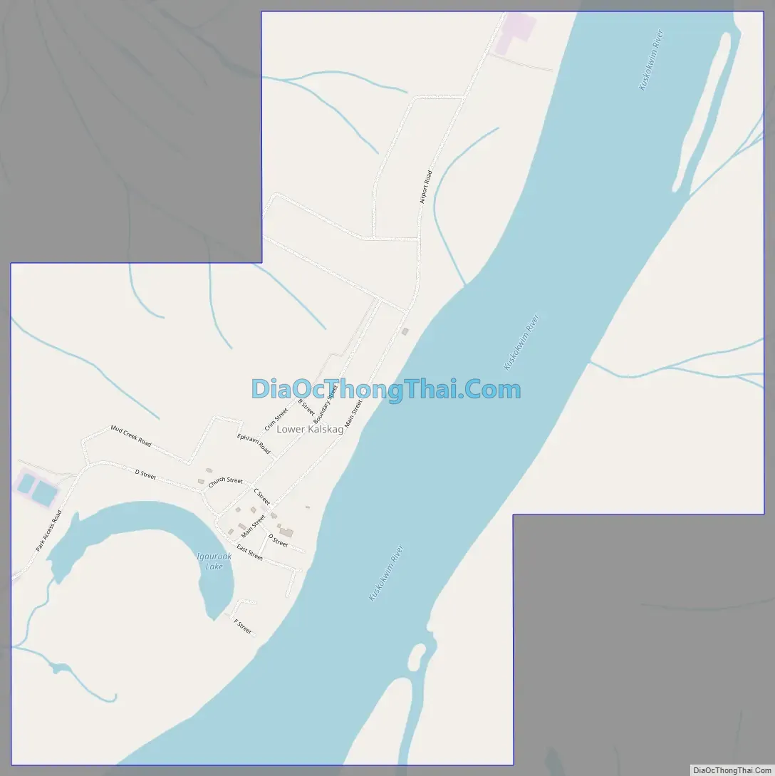
Lower Kalskag Road Map
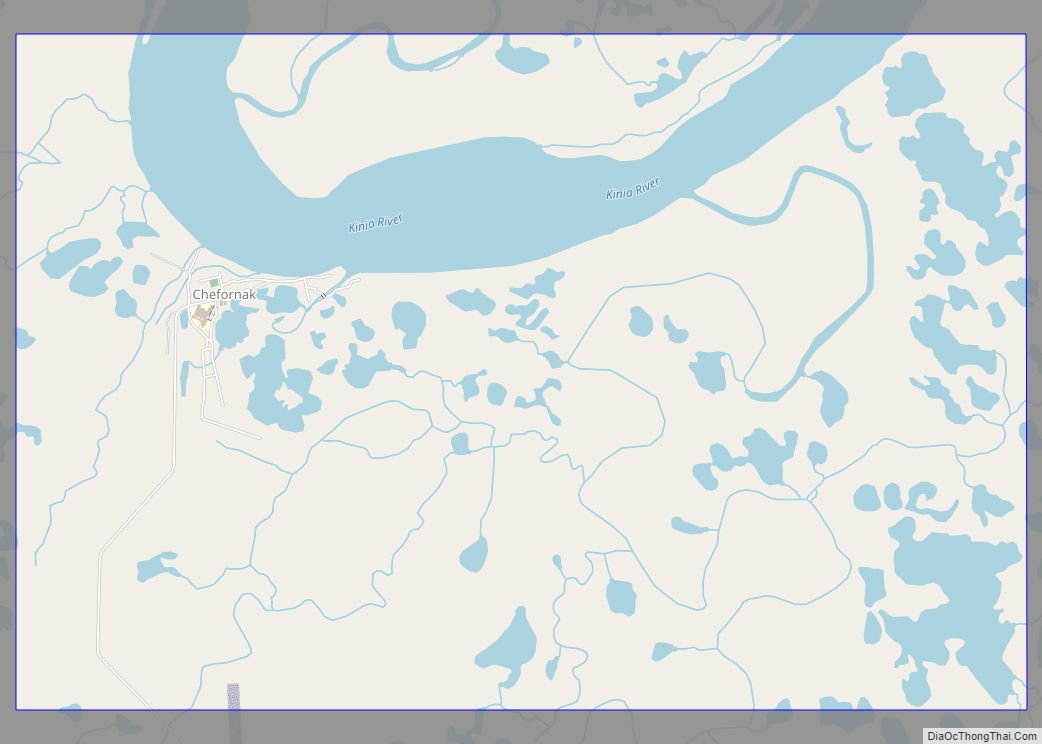
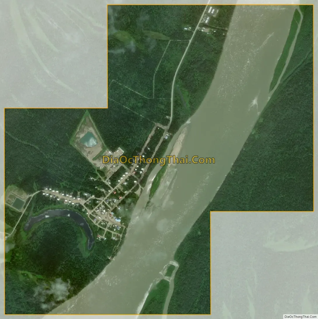
Lower Kalskag city Satellite Map
Geography
Lower Kalskag is located at 61°30′49″N 160°21′33″W / 61.51361°N 160.35917°W / 61.51361; -160.35917 (61.513735, -160.359050).
According to the United States Census Bureau, the city has a total area of 1.7 square miles (4.4 km), of which, 1.3 square miles (3.4 km) of it is land and 0.4 square miles (1.0 km) of it (25.58%) is water.
Lower Kalskag, referred to by the locals as just “Lower”, is linked to Upper Kalskag (Upper) by a single two mile maintained gravel/dirt road.
Lower Kalskag is accessible only by small plane, boat, and vehicles via the river “ice road” (Winter only).
See also
Map of Alaska State and its subdivision:- Aleutians East
- Aleutians West
- Anchorage
- Bethel
- Bristol Bay
- Denali
- Dillingham
- Fairbanks North Star
- Haines
- Juneau
- Kenai Peninsula
- Ketchikan Gateway
- Kodiak Island
- Lake and Peninsula
- Matanuska-Susitna
- Nome
- North Slope
- Northwest Arctic
- Prince of Wales-Outer Ketchi
- Sitka
- Skagway-Yakutat-Angoon
- Southeast Fairbanks
- Valdez-Cordova
- Wade Hampton
- Wrangell-Petersburg
- Yukon-Koyukuk
- Alabama
- Alaska
- Arizona
- Arkansas
- California
- Colorado
- Connecticut
- Delaware
- District of Columbia
- Florida
- Georgia
- Hawaii
- Idaho
- Illinois
- Indiana
- Iowa
- Kansas
- Kentucky
- Louisiana
- Maine
- Maryland
- Massachusetts
- Michigan
- Minnesota
- Mississippi
- Missouri
- Montana
- Nebraska
- Nevada
- New Hampshire
- New Jersey
- New Mexico
- New York
- North Carolina
- North Dakota
- Ohio
- Oklahoma
- Oregon
- Pennsylvania
- Rhode Island
- South Carolina
- South Dakota
- Tennessee
- Texas
- Utah
- Vermont
- Virginia
- Washington
- West Virginia
- Wisconsin
- Wyoming