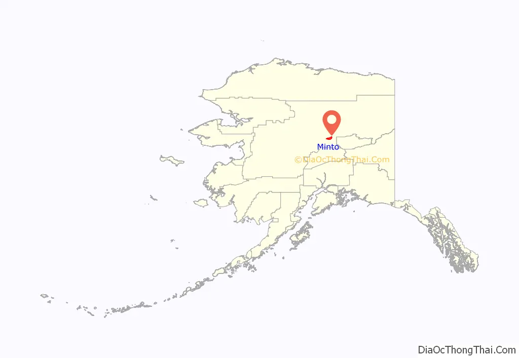
Minto (Tanana: Menhti) is a census-designated place (CDP) in Yukon-Koyukuk Census Area, Alaska, United States. As of the 2020 census, the population of the CDP is 150, down from 210 in 2010. The name is an anglicized version of the Lower Tanana Athabaskan name Menhti mən̥tʰi, meaning ‘among the lakes’. After repeated flooding the village was relocated to its present location in 1969. The former village site is now known as Old Minto.
| Name: | Minto CDP |
|---|---|
| LSAD Code: | 57 |
| LSAD Description: | CDP (suffix) |
| State: | Alaska |
| County: | Yukon-Koyukuk Census Area |
| Total Area: | 136.17 sq mi (352.68 km²) |
| Land Area: | 132.61 sq mi (343.45 km²) |
| Water Area: | 3.56 sq mi (9.23 km²) |
| Total Population: | 150 |
| Population Density: | 1.13/sq mi (0.44/km²) |
| ZIP code: | 99758 |
| Area code: | 907 |
| FIPS code: | 0249530 |
Online Interactive Map
Click on ![]() to view map in "full screen" mode.
to view map in "full screen" mode.
Minto location map. Where is Minto CDP?
History
Minto is in the western part of traditional Tanana Athabaskan territory. During the late 1800s, some members of the nomadic Minto band traveled to Tanana, Rampart and Fort Yukon to trade furs for manufactured goods, tea and flour. After gold was discovered north of Fairbanks in 1902, steamboats began to travel on the Tanana River, bringing goods and people into the area. Old Minto, on the banks of the Tanana River, became a permanent settlement when some members of the Minto band built log cabins there. Other families lived there seasonally in tents. A school was established in 1937, but most families still did not live in Minto year-round until the 1950s. The people from the Minto band were eventually joined by families from Nenana, Toklat, Crossjacket and Chena.
Minto was relocated in 1969, due to repeated flooding and erosion. The present site is 65 km (40 mi) north of the old site. The new site had been used as a fall and winter camp since the early 1900s. New housing and a new school were completed by 1971.
The Old Minto Family Recovery Camp is a rustic treatment center operated by the Tanana Chiefs Conference relocated away from the old river edge village site. A residential program, it incorporates daily group and individual counseling for drug and alcohol addictions with traditional lifestyle activities and Athabascan cultural immersion. The old village site is used for seasonal celebrations including by the Cultural Heritage and Education Institute which provides curriculum elements in the school at New Minto.
Minto Road Map

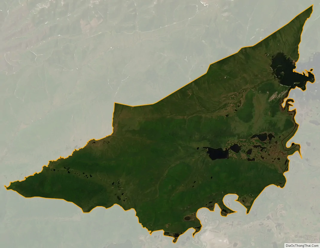
Minto city Satellite Map
Geography
Minto is an Athabascan Indian village located at the end of the Minto Spur Road, which comes off the Elliot Highway. It is located at 65°9′28″N 149°22′12″W / 65.15778°N 149.37000°W / 65.15778; -149.37000 (65.157885, −149.369916). The village is located on a bluff above the Tolovana River flats, which contain several lakes formed by the flow of the river through low-lying areas.
According to the United States Census Bureau, the CDP has a total area of 138.6 square miles (359 km), of which, 135.1 square miles (350 km) of it is land and 3.6 square miles (9.3 km) of it (2.58%) is water.
See also
Map of Alaska State and its subdivision:- Aleutians East
- Aleutians West
- Anchorage
- Bethel
- Bristol Bay
- Denali
- Dillingham
- Fairbanks North Star
- Haines
- Juneau
- Kenai Peninsula
- Ketchikan Gateway
- Kodiak Island
- Lake and Peninsula
- Matanuska-Susitna
- Nome
- North Slope
- Northwest Arctic
- Prince of Wales-Outer Ketchi
- Sitka
- Skagway-Yakutat-Angoon
- Southeast Fairbanks
- Valdez-Cordova
- Wade Hampton
- Wrangell-Petersburg
- Yukon-Koyukuk
- Alabama
- Alaska
- Arizona
- Arkansas
- California
- Colorado
- Connecticut
- Delaware
- District of Columbia
- Florida
- Georgia
- Hawaii
- Idaho
- Illinois
- Indiana
- Iowa
- Kansas
- Kentucky
- Louisiana
- Maine
- Maryland
- Massachusetts
- Michigan
- Minnesota
- Mississippi
- Missouri
- Montana
- Nebraska
- Nevada
- New Hampshire
- New Jersey
- New Mexico
- New York
- North Carolina
- North Dakota
- Ohio
- Oklahoma
- Oregon
- Pennsylvania
- Rhode Island
- South Carolina
- South Dakota
- Tennessee
- Texas
- Utah
- Vermont
- Virginia
- Washington
- West Virginia
- Wisconsin
- Wyoming


