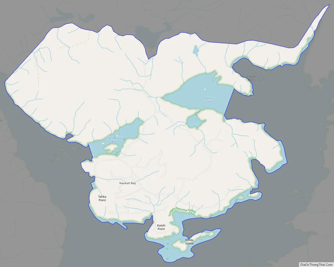
Naukati Bay (Lingít: Nàakig̱èey) is a census-designated place (CDP) in the Prince of Wales-Hyder Census Area of the Unorganized Borough of the U.S. state of Alaska. The population was 113 at the 2010 census, down from 135 in 2000.
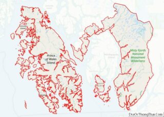
Also known as Naukati or Naukati West, the community lies approximately 30 miles (48 km) north of Craig and 20 miles (32 km) southwest of Coffman Cove on Prince of Wales Island, within the Unorganized Borough. Naukati Bay Subdivision East and West are located on the east side of Tuxekan Passage in Naukati Bay. The community of Naukati Bay has developed over the past 30 years from its original logging camp status to an independent community. Primary local access is via unpaved gravel logging roads. The area was extensively clear cut over the past 30 years, and the resulting regrowth is quite dense. Vegetation is typical temperate rain forest.
| Name: | Naukati Bay CDP |
|---|---|
| LSAD Code: | 57 |
| LSAD Description: | CDP (suffix) |
| State: | Alaska |
| County: | Prince of Wales-Hyder Census Area |
| Elevation: | 207 ft (63 m) |
| Total Area: | 5.09 sq mi (13.18 km²) |
| Land Area: | 4.79 sq mi (12.41 km²) |
| Water Area: | 0.30 sq mi (0.78 km²) |
| Total Population: | 142 |
| Population Density: | 29.64/sq mi (11.44/km²) |
| Area code: | 907 |
| FIPS code: | 0252845 |
| GNISfeature ID: | 1866964 |
Online Interactive Map
Click on ![]() to view map in "full screen" mode.
to view map in "full screen" mode.
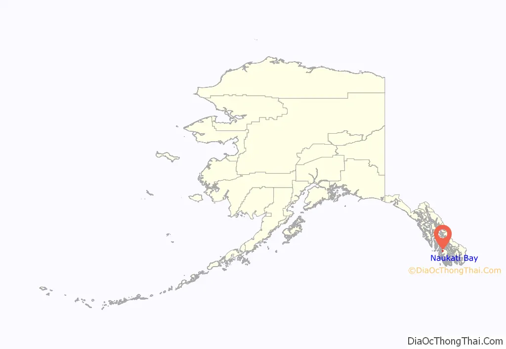
Naukati Bay location map. Where is Naukati Bay CDP?
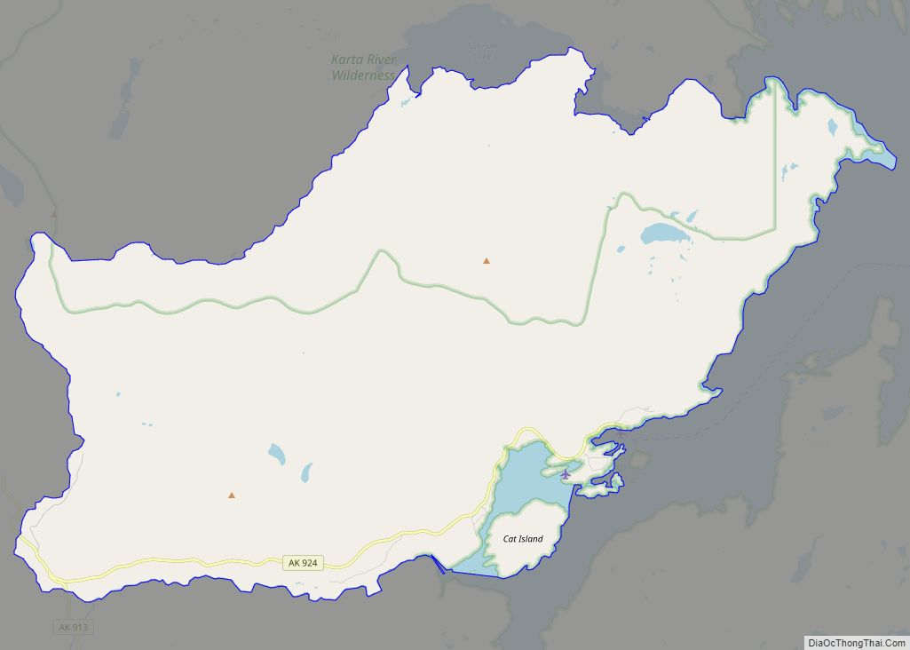
Naukati Bay Road Map
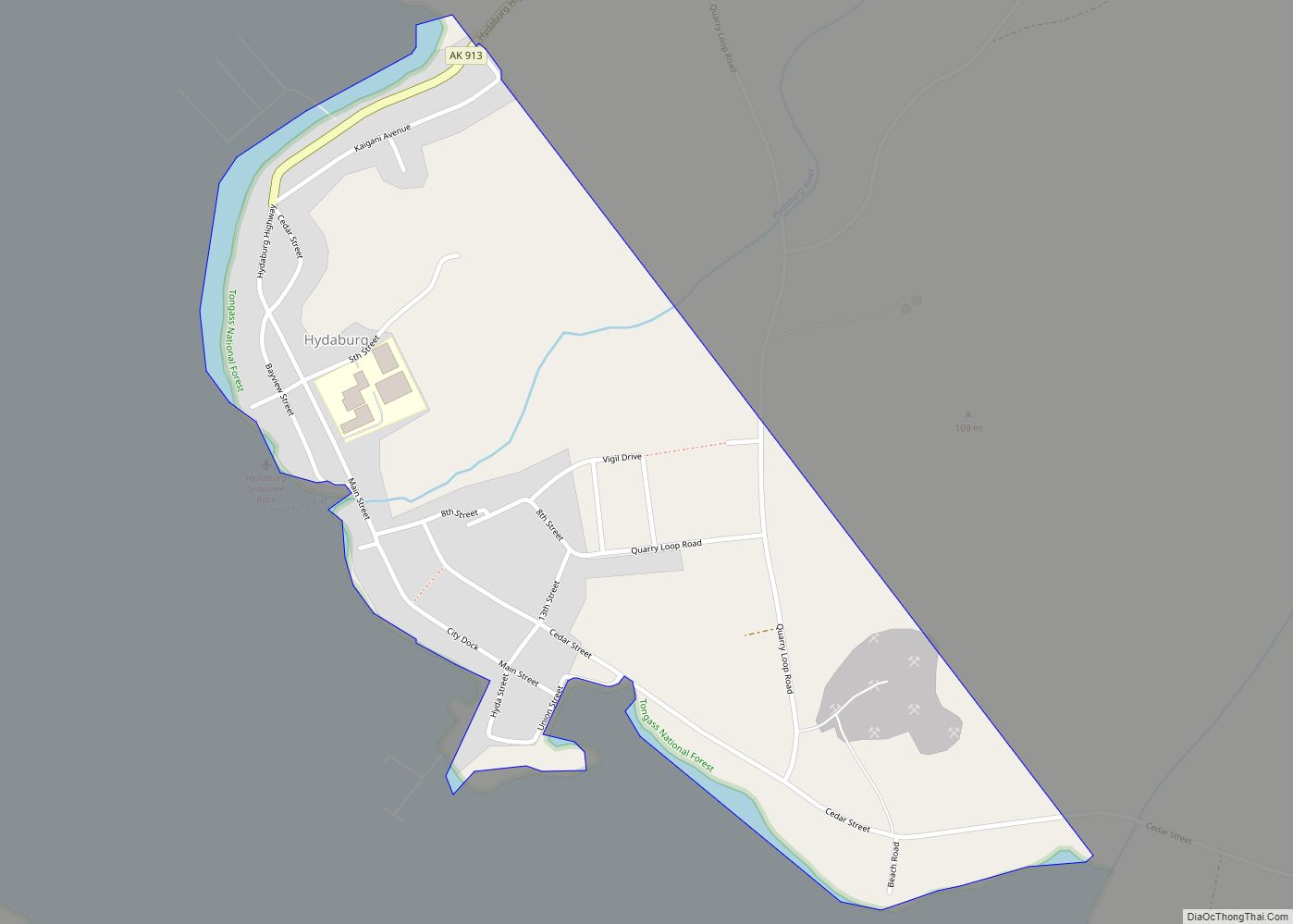
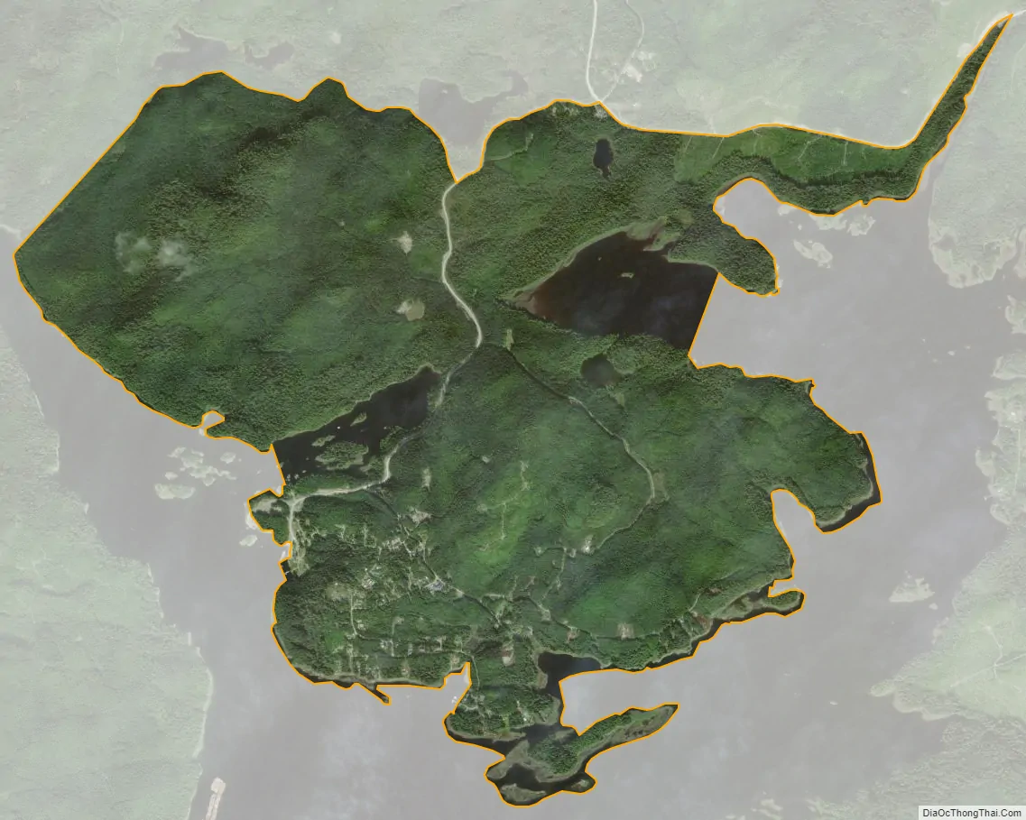
Naukati Bay city Satellite Map
Geography
Naukati Bay is located at 55°52′25″N 133°11′5″W / 55.87361°N 133.18472°W / 55.87361; -133.18472 (Naukati Bay (P. of Wales-Hyder)), elevation: 207 feet (63 m) (Section 18, Township 069 South, Range 080 East, Copper River Meridian) between a pair of sheltered bays (Little Naukati Bay and Naukati Bay) on the West coast of Prince of Wales Island in South-East Alaska. Naukati Bay is located in the Ketchikan Recording District.
Naukati Bay, census-designated place (CDP) tract’s Centroid is at 55°52′57″N 133°11′42″W / 55.88250°N 133.19500°W / 55.88250; -133.19500 (Naukati Bay (CDP)), elevation: 13 feet (4.0 m) The United States Census Bureau adjusted the census-designated place tract’s boundaries from 1990 to 2008, resulting in the shift of the CDP’s Centroid coordinates seen above, i.e. the ground has not moved, but the places where the Census counts has.
According to the United States Census Bureau, the CDP has a total area of 5.1 square miles (13 km), of which, 4.8 square miles (12 km) of it is land and 0.2 square miles (0.52 km) of it (4.95%) is water.
Naukati Bay
Naukati Bay is a natural sheltered harbor at Naukati Bay, Alaska, on the Western shores of Prince of Wales Island, on the Pacific Ocean at 55°52′34″N 133°9′27″W / 55.87611°N 133.15750°W / 55.87611; -133.15750 (Naukati Bay), elevation: 0 feet (0 m)
Naukati Bay is the largest indentation in the East shore of Tuxekan Passage. Its entrance, about 2 miles (3.2 km) North of Staney Island, is constricted by rocks and kelp, and the entire area has numerous islets, reefs, and rocks. In the narrow winding channel, 3 fathoms can be carried well in toward the head of the bay.
Naukati Creek is a stream with its mouth at 55°53′19″N 133°8′52″W / 55.88861°N 133.14778°W / 55.88861; -133.14778 (Naukati Creek, mouth), elevation (at mouth): 16 feet (4.9 m), which originates from a small lake at 55°53′36″N 133°5′26″W / 55.89333°N 133.09056°W / 55.89333; -133.09056 (Naukati Creek, source), elevation:, and flows 3.5 miles (5.6 km) West to Naukati Bay.
It was a logging camp at one time, but later was settled as an Alaska Department of Natural Resources land disposal site.
Named “Naukatee Bay” in 1904 by the U.S. Coast & Geodetic Survey, who recorded it as the local Indian name. Local name recorded in 1949 by United States Geological Survey.
Little Naukati Bay
Little Naukati Bay is a natural sheltered harbor at Naukati Bay, Alaska, on the Western shores of Prince of Wales Island, on the Pacific Ocean at 55°52′36″N 133°12′45″W / 55.87667°N 133.21250°W / 55.87667; -133.21250 (Little Naukati Bay), elevation: 20 feet (6.1 m)
Little Naukati Bay, on the East side of Tuxekan Narrows and about 6.5 miles (10.5 km) North of Kauda Point, is not recommended as a small-boat anchorage. At low water its entrance is almost closed by rocks and reefs. The best water into it is the North channel. The narrows North-West of Little Naukati Bay is relatively clear and deep.
See also
Map of Alaska State and its subdivision:- Aleutians East
- Aleutians West
- Anchorage
- Bethel
- Bristol Bay
- Denali
- Dillingham
- Fairbanks North Star
- Haines
- Juneau
- Kenai Peninsula
- Ketchikan Gateway
- Kodiak Island
- Lake and Peninsula
- Matanuska-Susitna
- Nome
- North Slope
- Northwest Arctic
- Prince of Wales-Outer Ketchi
- Sitka
- Skagway-Yakutat-Angoon
- Southeast Fairbanks
- Valdez-Cordova
- Wade Hampton
- Wrangell-Petersburg
- Yukon-Koyukuk
- Alabama
- Alaska
- Arizona
- Arkansas
- California
- Colorado
- Connecticut
- Delaware
- District of Columbia
- Florida
- Georgia
- Hawaii
- Idaho
- Illinois
- Indiana
- Iowa
- Kansas
- Kentucky
- Louisiana
- Maine
- Maryland
- Massachusetts
- Michigan
- Minnesota
- Mississippi
- Missouri
- Montana
- Nebraska
- Nevada
- New Hampshire
- New Jersey
- New Mexico
- New York
- North Carolina
- North Dakota
- Ohio
- Oklahoma
- Oregon
- Pennsylvania
- Rhode Island
- South Carolina
- South Dakota
- Tennessee
- Texas
- Utah
- Vermont
- Virginia
- Washington
- West Virginia
- Wisconsin
- Wyoming