Noorvik (Inupiaq: Nuurvik, meaning “A place to move to”) is an Iñupiat city in the Northwest Arctic Borough in the U.S. state of Alaska. As of the 2020 census, the population of the city was 694, up from 668 in 2010. Located in the NANA Region Corp, Noorvik has close ties with the largest city in the region, Kotzebue. Residents speak a dialect of Iñupiaq known as Noorvik Inupiaq. Noorvik was the first town to be counted in the 2010 census.
| Name: | Noorvik city |
|---|---|
| LSAD Code: | 25 |
| LSAD Description: | city (suffix) |
| State: | Alaska |
| County: | Northwest Arctic Borough |
| Incorporated: | March 11, 1964 |
| Elevation: | 0 ft (0 m) |
| Total Area: | 1.26 sq mi (3.28 km²) |
| Land Area: | 0.84 sq mi (2.17 km²) |
| Water Area: | 0.43 sq mi (1.11 km²) |
| Total Population: | 694 |
| Population Density: | 828.16/sq mi (319.65/km²) |
| ZIP code: | 99763 |
| Area code: | 907 |
| FIPS code: | 0255140 |
| GNISfeature ID: | 1413646 |
Online Interactive Map
Click on ![]() to view map in "full screen" mode.
to view map in "full screen" mode.
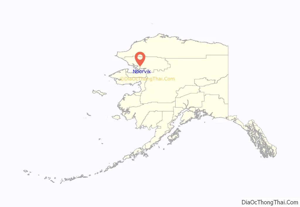
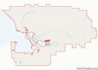
Noorvik location map. Where is Noorvik city?
History
Noorvik means “a place that is moved to” in Inupiaq. The village was established by Kowagmuit Inupiat fishermen and hunters from Deering in the early 1900s. Other settlers came from Oksik, a few miles upriver. The area had previously been inhabited by Kuuŋmuit Inuit up until the beginning of the 20th century, whose organized settlements had largely disappeared by the turn of the century due to famine and a flu outbreak. However, the village tribal association has founded itself on “the legacy of the Kuuŋmuit Inuit,” including basing their logo on a map of the Kuuŋmuit’s former territory.
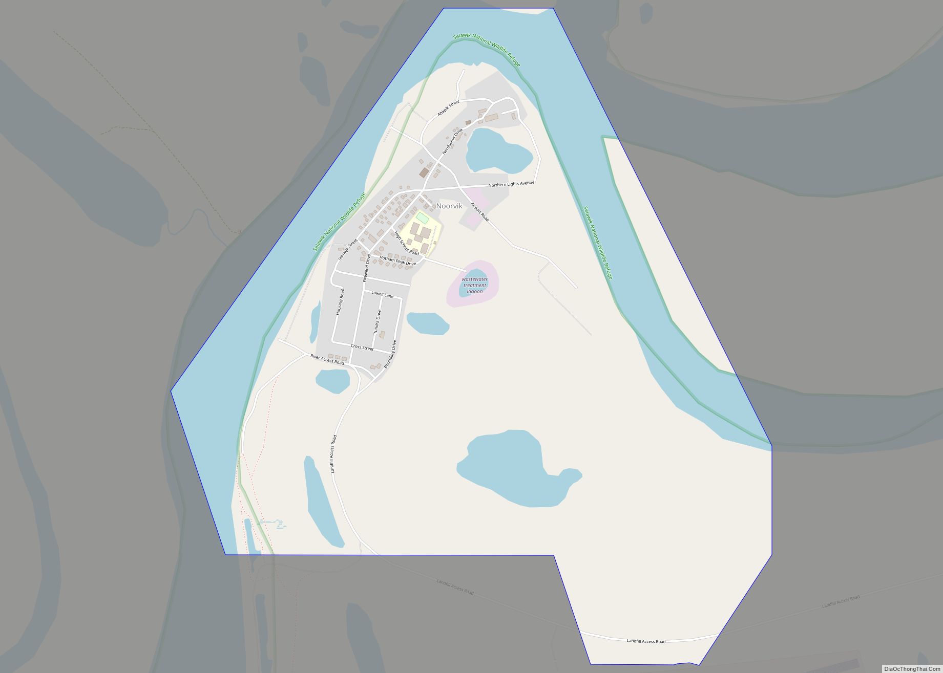
Noorvik Road Map
Noorvik city Satellite Map
Geography
Noorvik is located at 66°50′14″N 161°2′12″W / 66.83722°N 161.03667°W / 66.83722; -161.03667 (66.837130, -161.036641).
Noorvik is located on the right bank of the Nazuruk Channel of the Kobuk River, 76 km (47 mi) east of Kotzebue.
According to the United States Census Bureau, the city has a total area of 1.3 square miles (3.4 km), of which, 1.0 square mile (2.6 km) of it is land and 0.4 square miles (1.0 km) of it (28.36%) is water.
See also
Map of Alaska State and its subdivision:- Aleutians East
- Aleutians West
- Anchorage
- Bethel
- Bristol Bay
- Denali
- Dillingham
- Fairbanks North Star
- Haines
- Juneau
- Kenai Peninsula
- Ketchikan Gateway
- Kodiak Island
- Lake and Peninsula
- Matanuska-Susitna
- Nome
- North Slope
- Northwest Arctic
- Prince of Wales-Outer Ketchi
- Sitka
- Skagway-Yakutat-Angoon
- Southeast Fairbanks
- Valdez-Cordova
- Wade Hampton
- Wrangell-Petersburg
- Yukon-Koyukuk
- Alabama
- Alaska
- Arizona
- Arkansas
- California
- Colorado
- Connecticut
- Delaware
- District of Columbia
- Florida
- Georgia
- Hawaii
- Idaho
- Illinois
- Indiana
- Iowa
- Kansas
- Kentucky
- Louisiana
- Maine
- Maryland
- Massachusetts
- Michigan
- Minnesota
- Mississippi
- Missouri
- Montana
- Nebraska
- Nevada
- New Hampshire
- New Jersey
- New Mexico
- New York
- North Carolina
- North Dakota
- Ohio
- Oklahoma
- Oregon
- Pennsylvania
- Rhode Island
- South Carolina
- South Dakota
- Tennessee
- Texas
- Utah
- Vermont
- Virginia
- Washington
- West Virginia
- Wisconsin
- Wyoming
