Platinum (Central Yupik: Arviiq) is a city in Bethel Census Area, Alaska, United States. The population was 61 at the 2010 census, up from 41 in 2000.
| Name: | Platinum city |
|---|---|
| LSAD Code: | 25 |
| LSAD Description: | city (suffix) |
| State: | Alaska |
| County: | Bethel Census Area |
| Incorporated: | February 13, 1975 |
| Elevation: | 13 ft (4 m) |
| Total Area: | 47.31 sq mi (122.53 km²) |
| Land Area: | 47.27 sq mi (122.41 km²) |
| Water Area: | 0.05 sq mi (0.12 km²) |
| Total Population: | 55 |
| Population Density: | 1.16/sq mi (0.45/km²) |
| ZIP code: | 99651 |
| Area code: | 907 |
| FIPS code: | 0261080 |
Online Interactive Map
Click on ![]() to view map in "full screen" mode.
to view map in "full screen" mode.
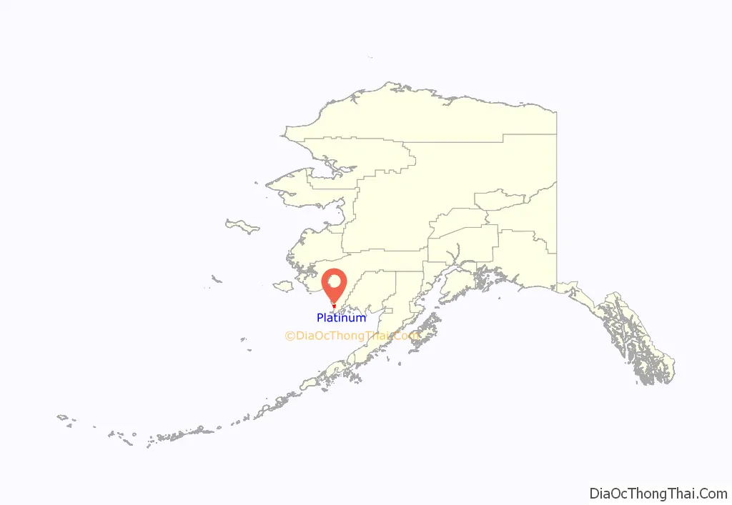
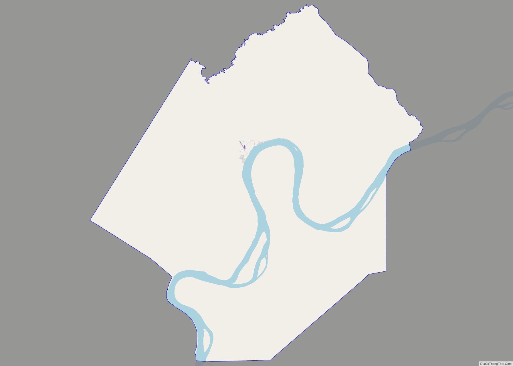
Platinum location map. Where is Platinum city?
History
Platinum was named in the 1930s due to the platinum ore found in the area. The site was a mining boomtown by 1937 boasting a roadhouse, two trading posts and a population of 50. A post office had been established in 1935. An earlier Inuit village called Arviq had been abandoned. The town was incorporated as a city in 1975.
Ray Petersen Flying Service was awarded the exclusive contract in 1937 to fly for the Goodnews Bay platinum and iridium mine, hauling miners and company supplies out of his base at Bethel, Alaska.
During World War II, the Alaska Territorial Guard served to safeguard it against Japanese attack as it was the only source of the strategic metal platinum in the Western Hemisphere.
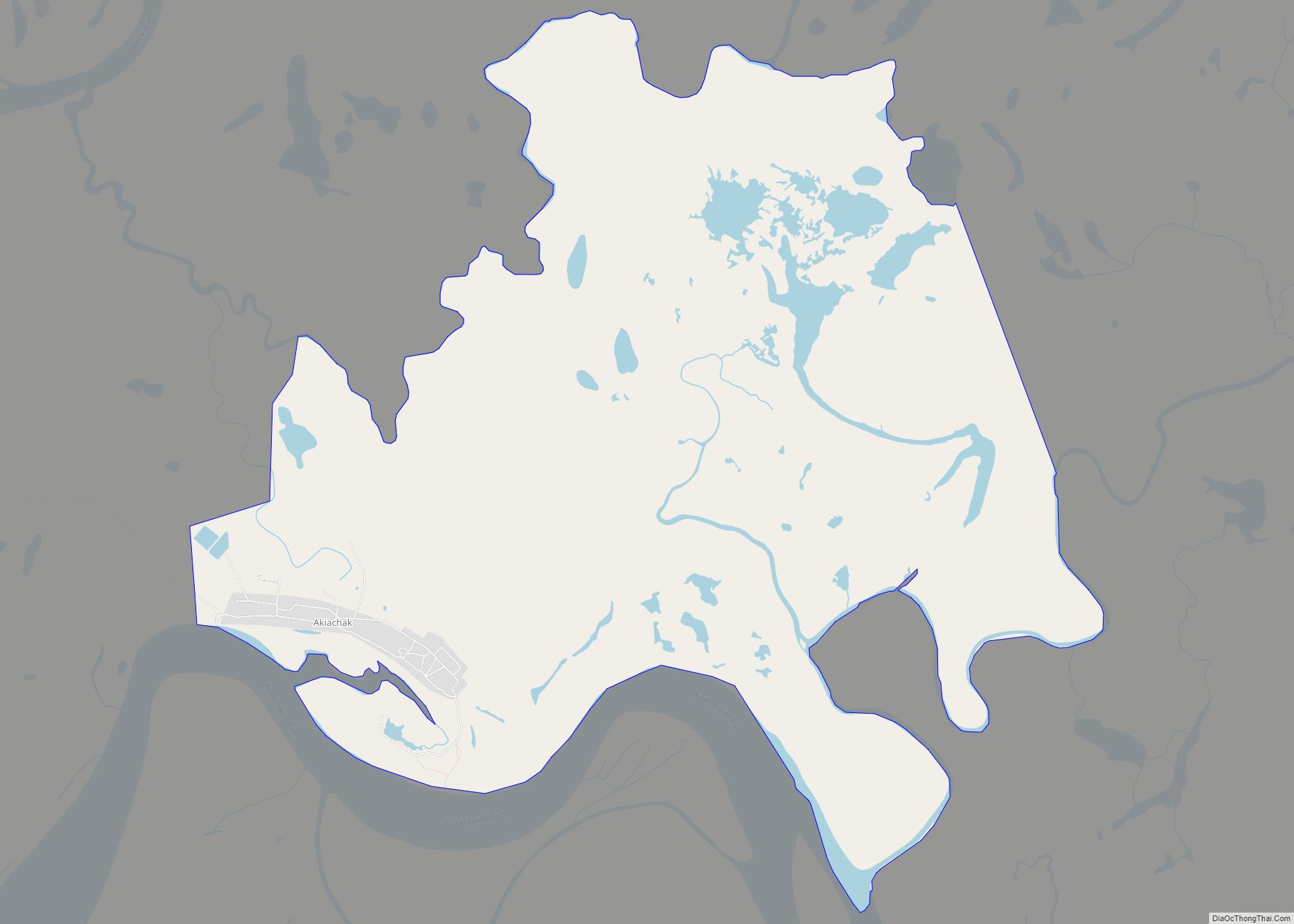
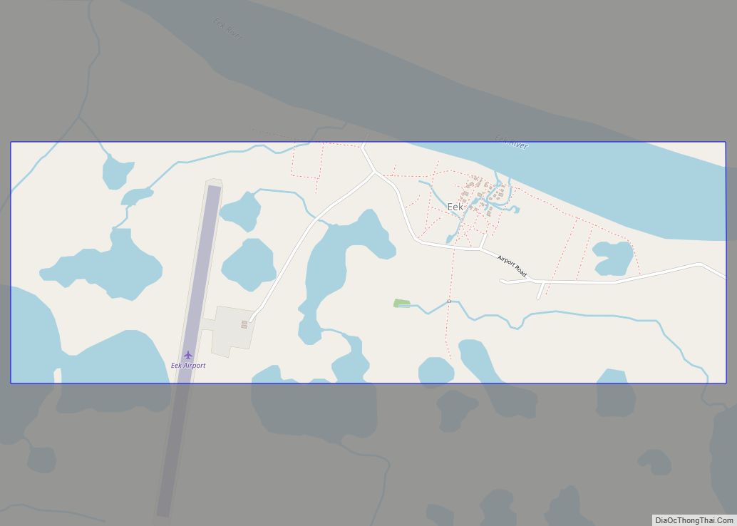
Platinum Road Map
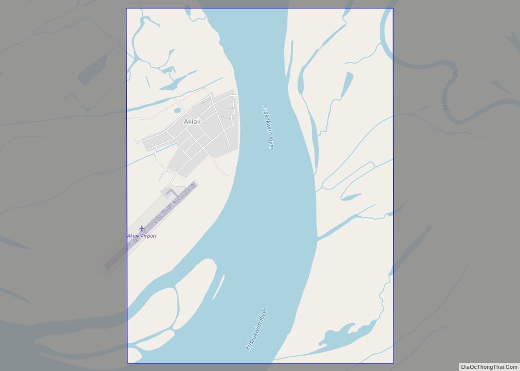
Platinum city Satellite Map
Geography
Platinum is located at 59°00′47″N 161°48′59″W / 59.01306°N 161.81639°W / 59.01306; -161.81639. It is located on Goodnews Bay adjacent to the mouth of the Small River and eleven miles southwest of Goodnews and the Kilbuck Mountains.
According to the United States Census Bureau, the city has a total area of 44.7 square miles (116 km), of which, 44.6 square miles (116 km) of it is land and 0.1 square miles (0.26 km) of it (0.16%) is water.
Climate
Platinum has a subarctic climate (Dfc) with short, cool and rainy summers and long, cold winters with moderate snowfall peaking during March.
See also
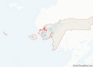
Map of Alaska State and its subdivision:- Aleutians East
- Aleutians West
- Anchorage
- Bethel
- Bristol Bay
- Denali
- Dillingham
- Fairbanks North Star
- Haines
- Juneau
- Kenai Peninsula
- Ketchikan Gateway
- Kodiak Island
- Lake and Peninsula
- Matanuska-Susitna
- Nome
- North Slope
- Northwest Arctic
- Prince of Wales-Outer Ketchi
- Sitka
- Skagway-Yakutat-Angoon
- Southeast Fairbanks
- Valdez-Cordova
- Wade Hampton
- Wrangell-Petersburg
- Yukon-Koyukuk
- Alabama
- Alaska
- Arizona
- Arkansas
- California
- Colorado
- Connecticut
- Delaware
- District of Columbia
- Florida
- Georgia
- Hawaii
- Idaho
- Illinois
- Indiana
- Iowa
- Kansas
- Kentucky
- Louisiana
- Maine
- Maryland
- Massachusetts
- Michigan
- Minnesota
- Mississippi
- Missouri
- Montana
- Nebraska
- Nevada
- New Hampshire
- New Jersey
- New Mexico
- New York
- North Carolina
- North Dakota
- Ohio
- Oklahoma
- Oregon
- Pennsylvania
- Rhode Island
- South Carolina
- South Dakota
- Tennessee
- Texas
- Utah
- Vermont
- Virginia
- Washington
- West Virginia
- Wisconsin
- Wyoming
