Port Protection (Lingít: Kél) is a census-designated place (CDP) in Prince of Wales-Hyder Census Area, Alaska, United States. The population was 36 at the 2020 census, down from 48 in 2010 census.
| Name: | Port Protection CDP |
|---|---|
| LSAD Code: | 57 |
| LSAD Description: | CDP (suffix) |
| State: | Alaska |
| County: | Prince of Wales-Hyder Census Area |
| Elevation: | 226 ft (69 m) |
| Total Area: | 3.91 sq mi (10.12 km²) |
| Land Area: | 3.71 sq mi (9.61 km²) |
| Water Area: | 0.20 sq mi (0.52 km²) |
| Total Population: | 36 |
| Population Density: | 9.71/sq mi (3.75/km²) |
| Area code: | 907 |
| FIPS code: | 0263870 |
| GNISfeature ID: | 1866970 |
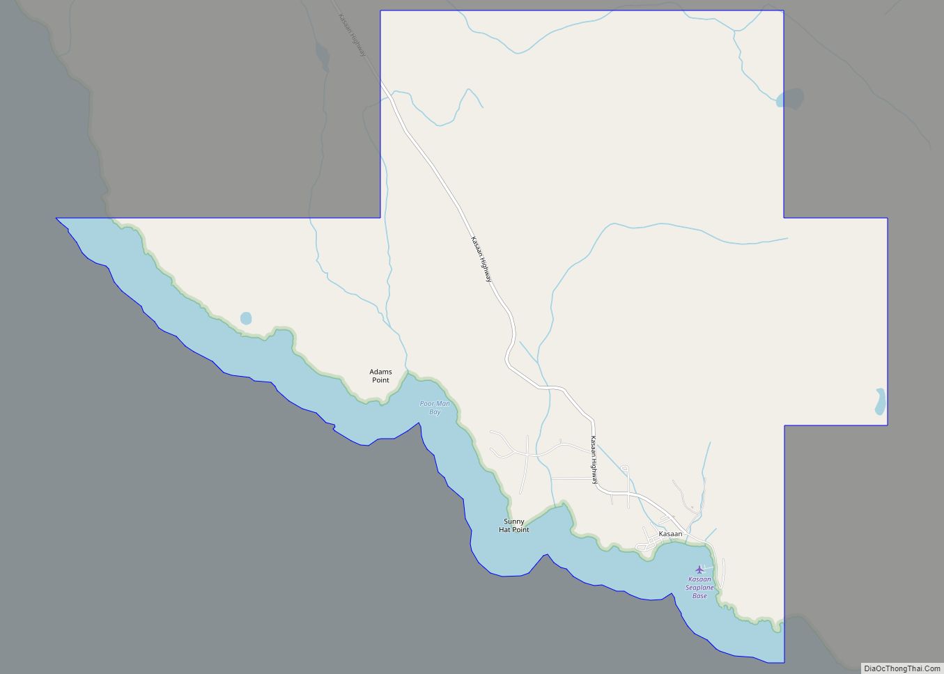
Online Interactive Map
Click on ![]() to view map in "full screen" mode.
to view map in "full screen" mode.
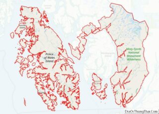
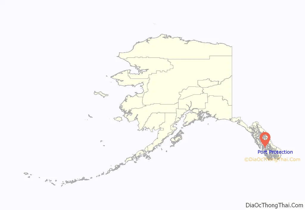
Port Protection location map. Where is Port Protection CDP?
History
In 1975, Port Protection and Point Baker made national news when Zieske v Butz, a landmark lawsuit against the US Forest Service brought by Point Baker residents Charles Zieske, Alan Stein and Herb Zieske, was decided by Judge James von der Heydt, the Alaska Federal District court judge. The lawsuit was initiated by Alan Stein and the Point Baker Association which had about 30 fishermen members from the communities of Pt Baker and Port Protection. On December 24, 1975, von der Hedyt issued an injunction against all clearcutting on the North end of the Prince of Wales island from Red Bay to Calder Bay. The lawsuit stopped planned clear cutting on 400,000 acres (1,600 km2) on the north end Island. Congress lifted the injunction when it passed the National Forest Management Act in 1976.
Twice more Port Protection and Pt Baker made headlines In 1989, in a landmark lawsuit called Stein v Barton, many of its residents fought for buffer strips on all the salmon streams of the Tongass and for protection of the Salmon Bay watershed. In the 1990 Tongass Timber Reform Act, lobbyists for an environmental group in Washington compromised with Senator Ted Stevens and only got part of the Salmon Bay watershed protected. The timber surrounding an important salmon stream was bargained away. This statute also protected all the salmon streams in the Tongass with 100-foot-wide (30 m) buffer strips during logging operations.
Residents of the area are featured in the National Geographic Channel reality documentary series Life Below Zero: Port Protection, Port Protection, Alaska and its spinoff Lawless Island.
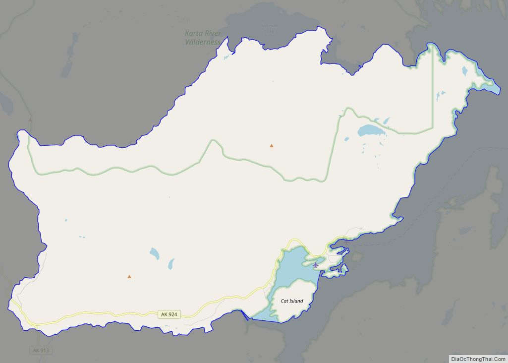
Port Protection Road Map
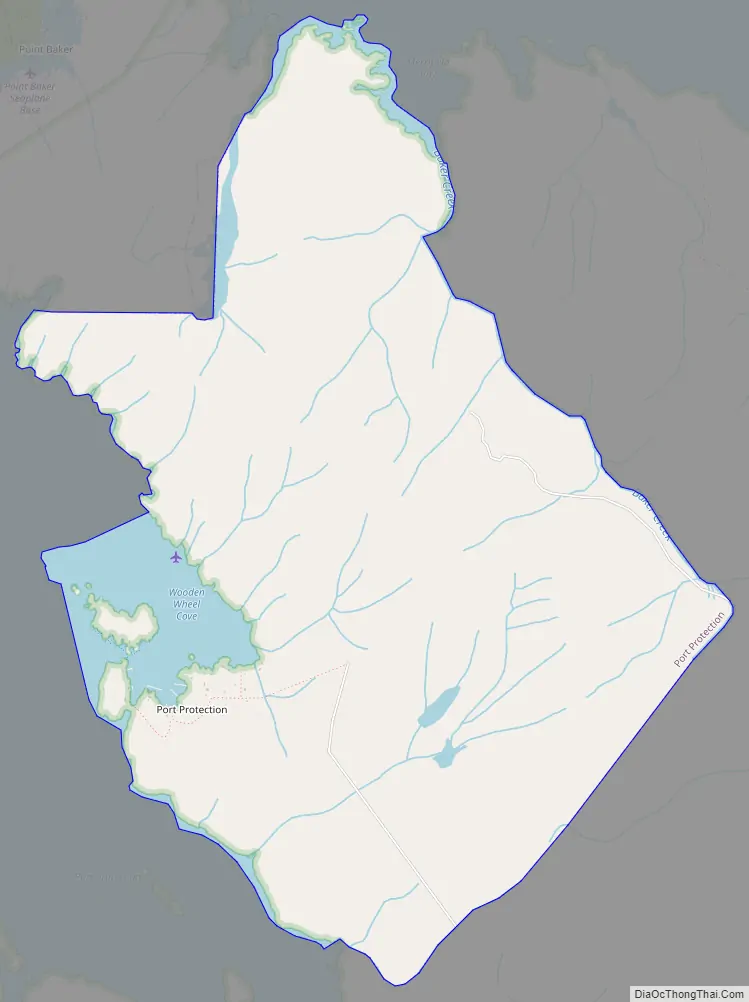
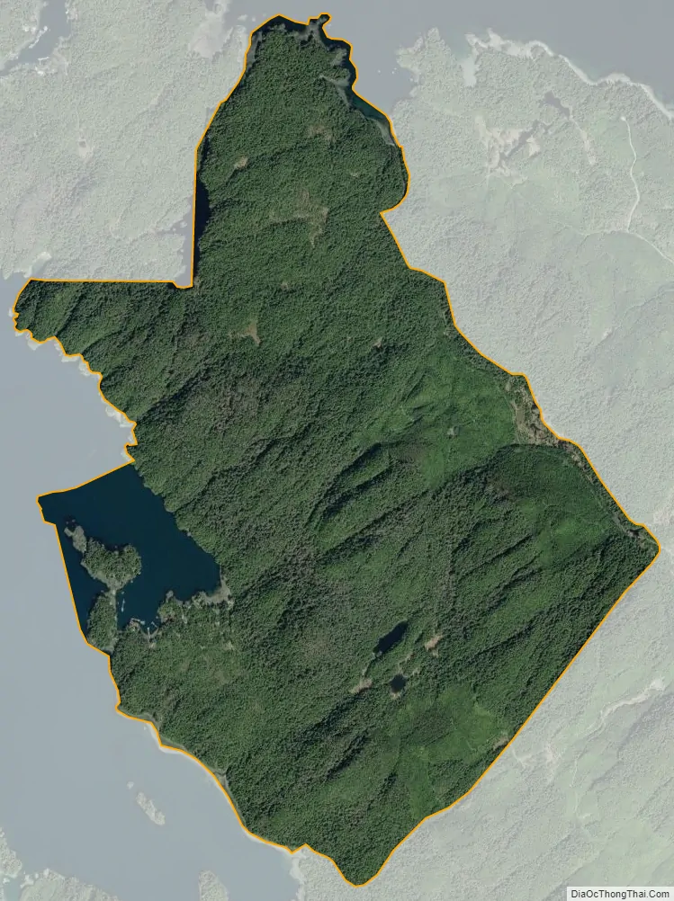
Port Protection city Satellite Map
Geography
Port Protection is located at 56°19′19″N 133°36′24″W / 56.32194°N 133.60667°W / 56.32194; -133.60667 (56.322078, -133.606706).
According to the United States Census Bureau, the CDP has a total area of 3.91 square miles (10.1 km), of which, 3.71 square miles (9.6 km) of it is land and 0.20 square miles (0.52 km) of it (2.61%) is water.
See also
Map of Alaska State and its subdivision:- Aleutians East
- Aleutians West
- Anchorage
- Bethel
- Bristol Bay
- Denali
- Dillingham
- Fairbanks North Star
- Haines
- Juneau
- Kenai Peninsula
- Ketchikan Gateway
- Kodiak Island
- Lake and Peninsula
- Matanuska-Susitna
- Nome
- North Slope
- Northwest Arctic
- Prince of Wales-Outer Ketchi
- Sitka
- Skagway-Yakutat-Angoon
- Southeast Fairbanks
- Valdez-Cordova
- Wade Hampton
- Wrangell-Petersburg
- Yukon-Koyukuk
- Alabama
- Alaska
- Arizona
- Arkansas
- California
- Colorado
- Connecticut
- Delaware
- District of Columbia
- Florida
- Georgia
- Hawaii
- Idaho
- Illinois
- Indiana
- Iowa
- Kansas
- Kentucky
- Louisiana
- Maine
- Maryland
- Massachusetts
- Michigan
- Minnesota
- Mississippi
- Missouri
- Montana
- Nebraska
- Nevada
- New Hampshire
- New Jersey
- New Mexico
- New York
- North Carolina
- North Dakota
- Ohio
- Oklahoma
- Oregon
- Pennsylvania
- Rhode Island
- South Carolina
- South Dakota
- Tennessee
- Texas
- Utah
- Vermont
- Virginia
- Washington
- West Virginia
- Wisconsin
- Wyoming