Quinhagak (/ˈkwɪnəhɑːk/; Central Yupik: Kuinerraq; Russian: Куинагак) is a city in Bethel Census Area, Alaska, United States. As of the 2010 census, the population of the city is 669, up from 555 in 2000.
The Yupik name for the village is Kuinerraq, meaning “new river channel.” It has been dated to at least 1000 AD.
Quinhagak is near the Nunalleq archaeological site, which has “easily the largest collection of pre-contact Yup’ik material anywhere,” according to anthropologist Rick Knecht. Thousands of items dating from 1350 to 1670 have been uncovered. These include many organic artifacts preserved in permafrost. The site is located along eroding coastline and up to 75% of the original site is thought to have washed away as of 2013, including the original excavation site.
| Name: | Quinhagak city |
|---|---|
| LSAD Code: | 25 |
| LSAD Description: | city (suffix) |
| State: | Alaska |
| County: | Bethel Census Area |
| Incorporated: | February 13, 1975 |
| Elevation: | 16 ft (5 m) |
| Total Area: | 4.69 sq mi (12.14 km²) |
| Land Area: | 4.10 sq mi (10.62 km²) |
| Water Area: | 0.59 sq mi (1.52 km²) |
| Total Population: | 776 |
| Population Density: | 189.27/sq mi (73.07/km²) |
| ZIP code: | 99655 |
| Area code: | 907 |
| FIPS code: | 0264600 |
| GNISfeature ID: | 1408462 |
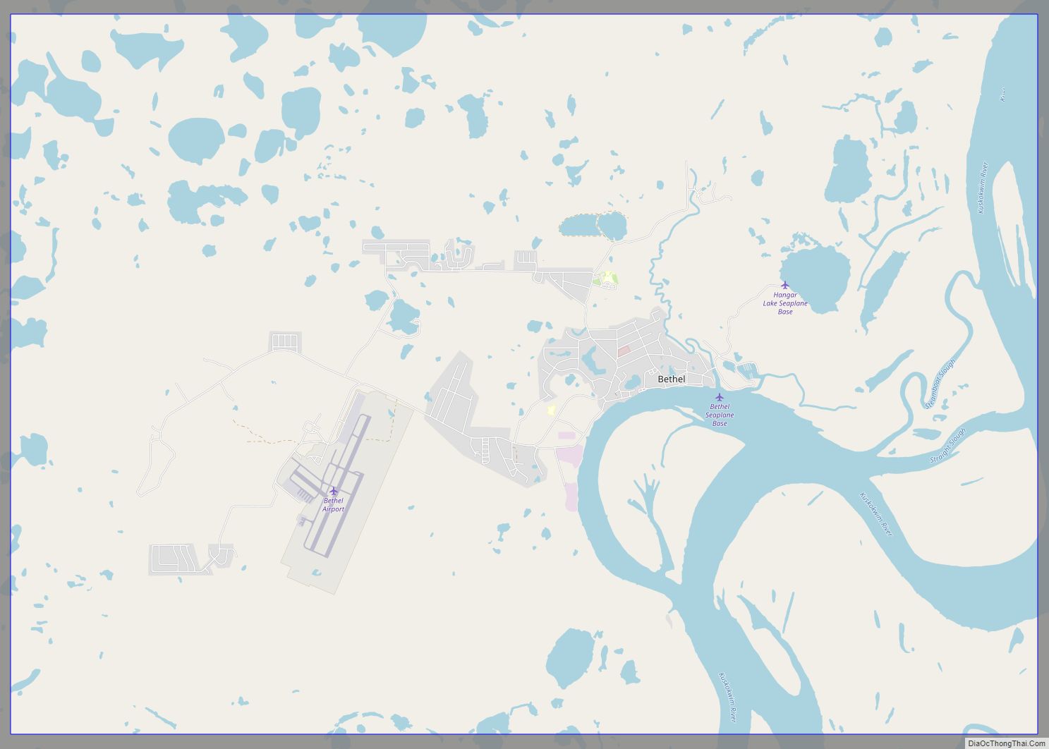
Online Interactive Map
Click on ![]() to view map in "full screen" mode.
to view map in "full screen" mode.
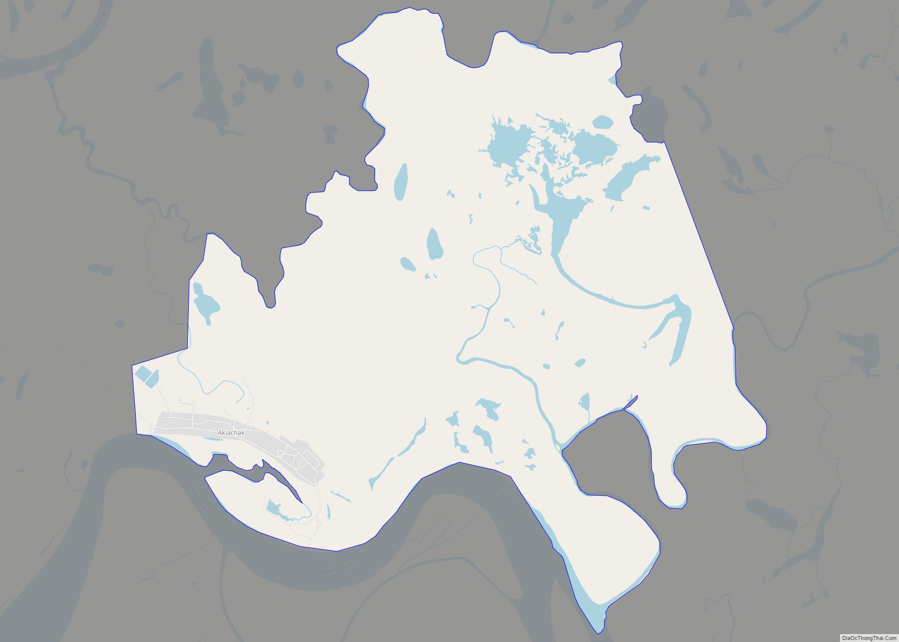
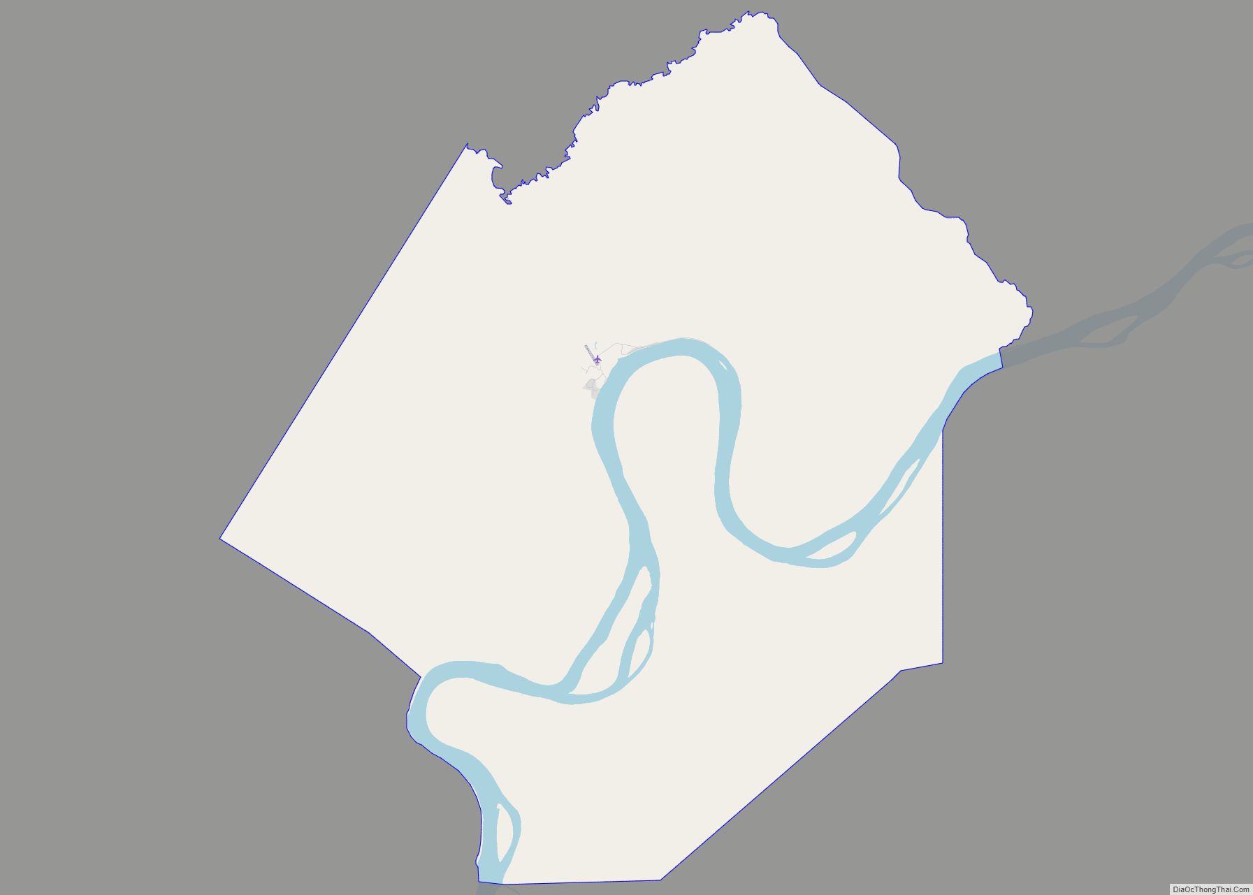
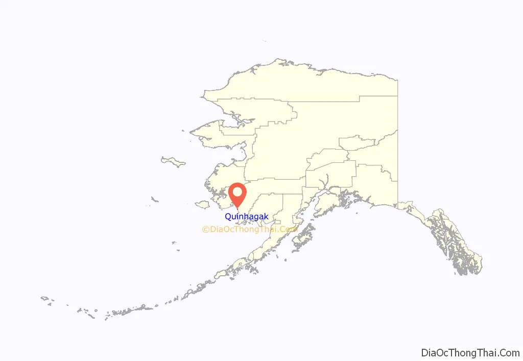
Quinhagak location map. Where is Quinhagak city?
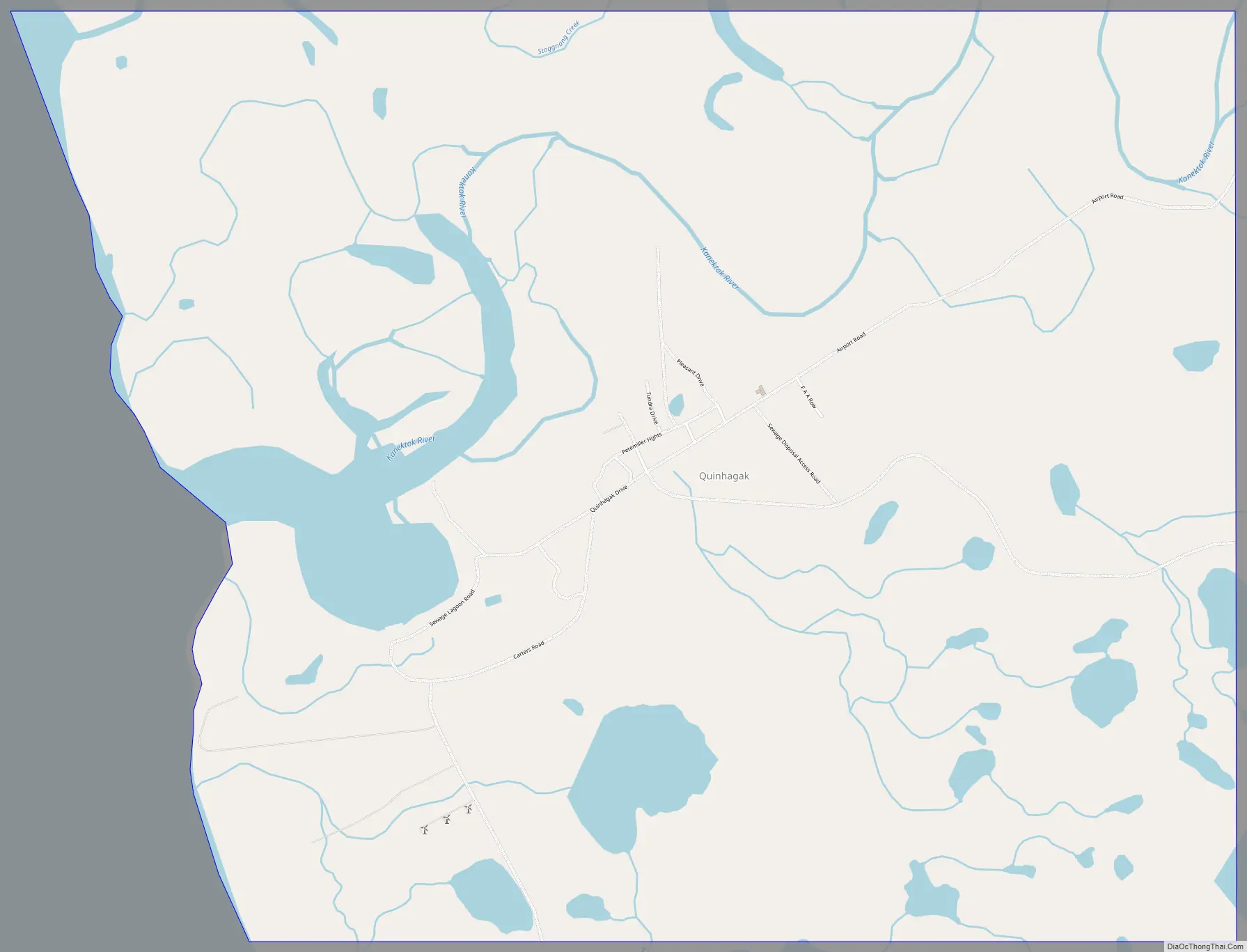
Quinhagak Road Map
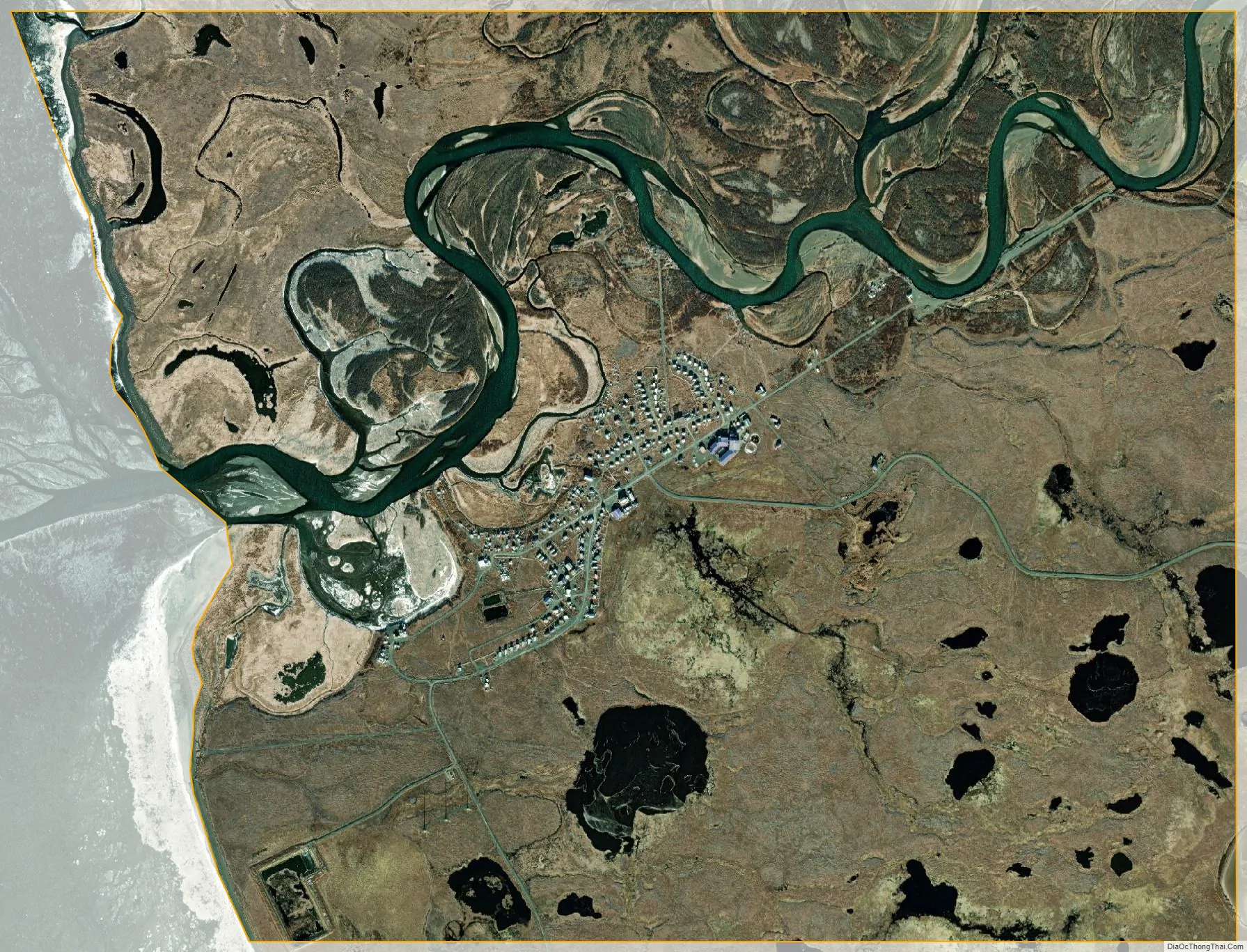
Quinhagak city Satellite Map
Geography
Quinhagak is located at 59°45′12″N 161°54′10″W / 59.753374°N 161.902701°W / 59.753374; -161.902701. It is situated on the Kanektok River and near the Arolik River, approximately a mile from the Kuskokwim Bay of the Bering Sea.
According to the United States Census Bureau, the city has a total area of 5.2 square miles (13 km), of which, 4.7 square miles (12 km) of it is land and 0.6 square miles (1.6 km) of it (10.86%) is water.
See also
Map of Alaska State and its subdivision:- Aleutians East
- Aleutians West
- Anchorage
- Bethel
- Bristol Bay
- Denali
- Dillingham
- Fairbanks North Star
- Haines
- Juneau
- Kenai Peninsula
- Ketchikan Gateway
- Kodiak Island
- Lake and Peninsula
- Matanuska-Susitna
- Nome
- North Slope
- Northwest Arctic
- Prince of Wales-Outer Ketchi
- Sitka
- Skagway-Yakutat-Angoon
- Southeast Fairbanks
- Valdez-Cordova
- Wade Hampton
- Wrangell-Petersburg
- Yukon-Koyukuk
- Alabama
- Alaska
- Arizona
- Arkansas
- California
- Colorado
- Connecticut
- Delaware
- District of Columbia
- Florida
- Georgia
- Hawaii
- Idaho
- Illinois
- Indiana
- Iowa
- Kansas
- Kentucky
- Louisiana
- Maine
- Maryland
- Massachusetts
- Michigan
- Minnesota
- Mississippi
- Missouri
- Montana
- Nebraska
- Nevada
- New Hampshire
- New Jersey
- New Mexico
- New York
- North Carolina
- North Dakota
- Ohio
- Oklahoma
- Oregon
- Pennsylvania
- Rhode Island
- South Carolina
- South Dakota
- Tennessee
- Texas
- Utah
- Vermont
- Virginia
- Washington
- West Virginia
- Wisconsin
- Wyoming