Red Dog Mine is a census-designated place (CDP) in the Northwest Arctic Borough of the U.S. state of Alaska. The population was 5 at the 2020 census, down from 309 in 2010.
| Name: | Red Dog Mine CDP |
|---|---|
| LSAD Code: | 57 |
| LSAD Description: | CDP (suffix) |
| State: | Alaska |
| County: | Northwest Arctic Borough |
| Elevation: | 853 ft (260 m) |
| Total Area: | 68.85 sq mi (178.33 km²) |
| Land Area: | 68.85 sq mi (178.33 km²) |
| Water Area: | 0.00 sq mi (0.00 km²) |
| Total Population: | 5 |
| Population Density: | 0.07/sq mi (0.03/km²) |
| Area code: | 907 |
| FIPS code: | 0264980 |
| GNISfeature ID: | 1865564 |
| Website: | www.reddogalaska.com |
Online Interactive Map
Click on ![]() to view map in "full screen" mode.
to view map in "full screen" mode.
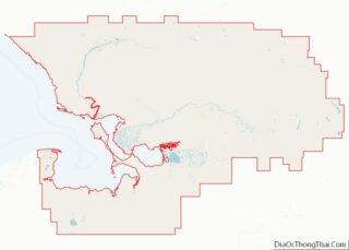
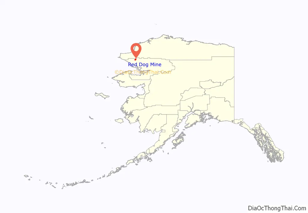
Red Dog Mine location map. Where is Red Dog Mine CDP?
Red Dog Mine Road Map
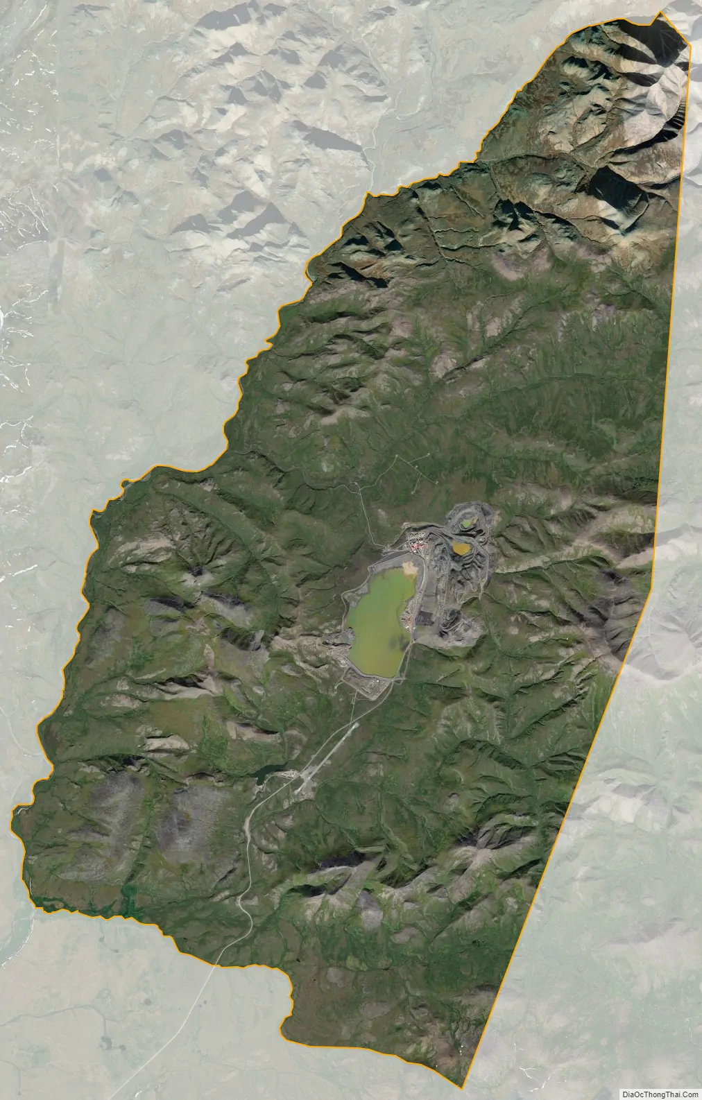
Red Dog Mine city Satellite Map
Geography
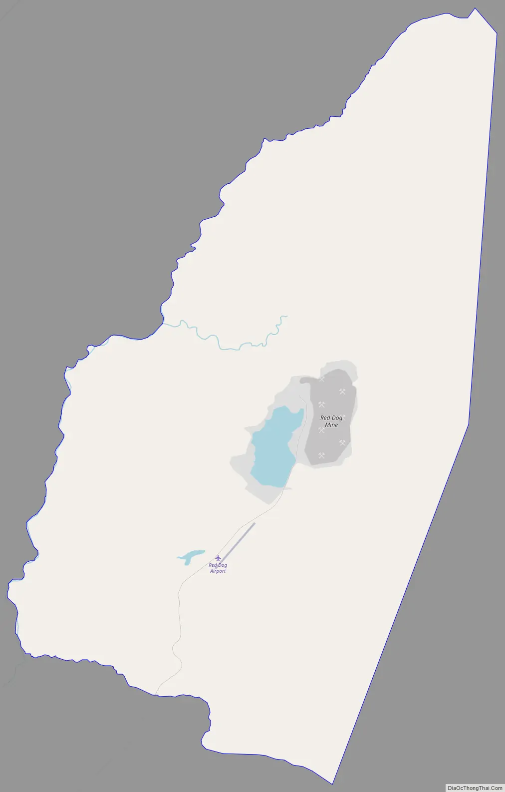
Red Dog Mine is located at 68°04′19″N 162°52′34″W / 68.071989°N 162.876044°W / 68.071989; -162.876044. It is in the DeLong Mountains in the remote western Brooks Range about 90 miles (140 km) north of Kotzebue and 55 miles (89 km) from the Chukchi Sea.
Red Dog Mine is very isolated. It is located within the Northwest Arctic Borough, an area approximately the size of Indiana with only 11 communities, none connected by roads, with a total population of only 7,523 people at the 2010 census. The nearest of those communities are Noatak, population 514, roughly 50 miles (80 km) south and Kivalina, population 374, roughly 60 miles (100 km) west at the 2010 census.
Although native populations have historically used the nearby area for seasonal food-gathering, there are no permanent residents at the mine or the port site. The mine’s workforce consists of about 460 employees and contractors, of which somewhat more than half will be on-site at any given time. At the mine, everyone stays in the single large housing unit, tucked in among the process buildings near the edge of the open pit, while a small portion of the work force stays at the port site.
According to the United States Census Bureau, the CDP has a total area of 66.9 square miles (173 km), all land.
Climate
See also
Map of Alaska State and its subdivision:- Aleutians East
- Aleutians West
- Anchorage
- Bethel
- Bristol Bay
- Denali
- Dillingham
- Fairbanks North Star
- Haines
- Juneau
- Kenai Peninsula
- Ketchikan Gateway
- Kodiak Island
- Lake and Peninsula
- Matanuska-Susitna
- Nome
- North Slope
- Northwest Arctic
- Prince of Wales-Outer Ketchi
- Sitka
- Skagway-Yakutat-Angoon
- Southeast Fairbanks
- Valdez-Cordova
- Wade Hampton
- Wrangell-Petersburg
- Yukon-Koyukuk
- Alabama
- Alaska
- Arizona
- Arkansas
- California
- Colorado
- Connecticut
- Delaware
- District of Columbia
- Florida
- Georgia
- Hawaii
- Idaho
- Illinois
- Indiana
- Iowa
- Kansas
- Kentucky
- Louisiana
- Maine
- Maryland
- Massachusetts
- Michigan
- Minnesota
- Mississippi
- Missouri
- Montana
- Nebraska
- Nevada
- New Hampshire
- New Jersey
- New Mexico
- New York
- North Carolina
- North Dakota
- Ohio
- Oklahoma
- Oregon
- Pennsylvania
- Rhode Island
- South Carolina
- South Dakota
- Tennessee
- Texas
- Utah
- Vermont
- Virginia
- Washington
- West Virginia
- Wisconsin
- Wyoming