Stony River (Gidighuyghatno’ Xidochagg Qay’ in Deg Xinag, K’qizaghetnu Hdakaq’ in Dena’ina) is a census-designated place (CDP) in Bethel Census Area, Alaska, United States. The population was 54 at the 2010 census, down from 61 in 2000.
Native inhabitants are mixed Athabaskan and Yup’ik ancestry of Alaska Native. Stony River village is the modern contact point between Yu’pik Eskimo and three distinct Athabaskan peoples: Deg Hit’an, Dena’ina, and Upper Kuskokwim. Today there is considerable multilingualism in Stony River village between Yu’pik and three distinct Athabaskan languages.
| Name: | Stony River CDP |
|---|---|
| LSAD Code: | 57 |
| LSAD Description: | CDP (suffix) |
| State: | Alaska |
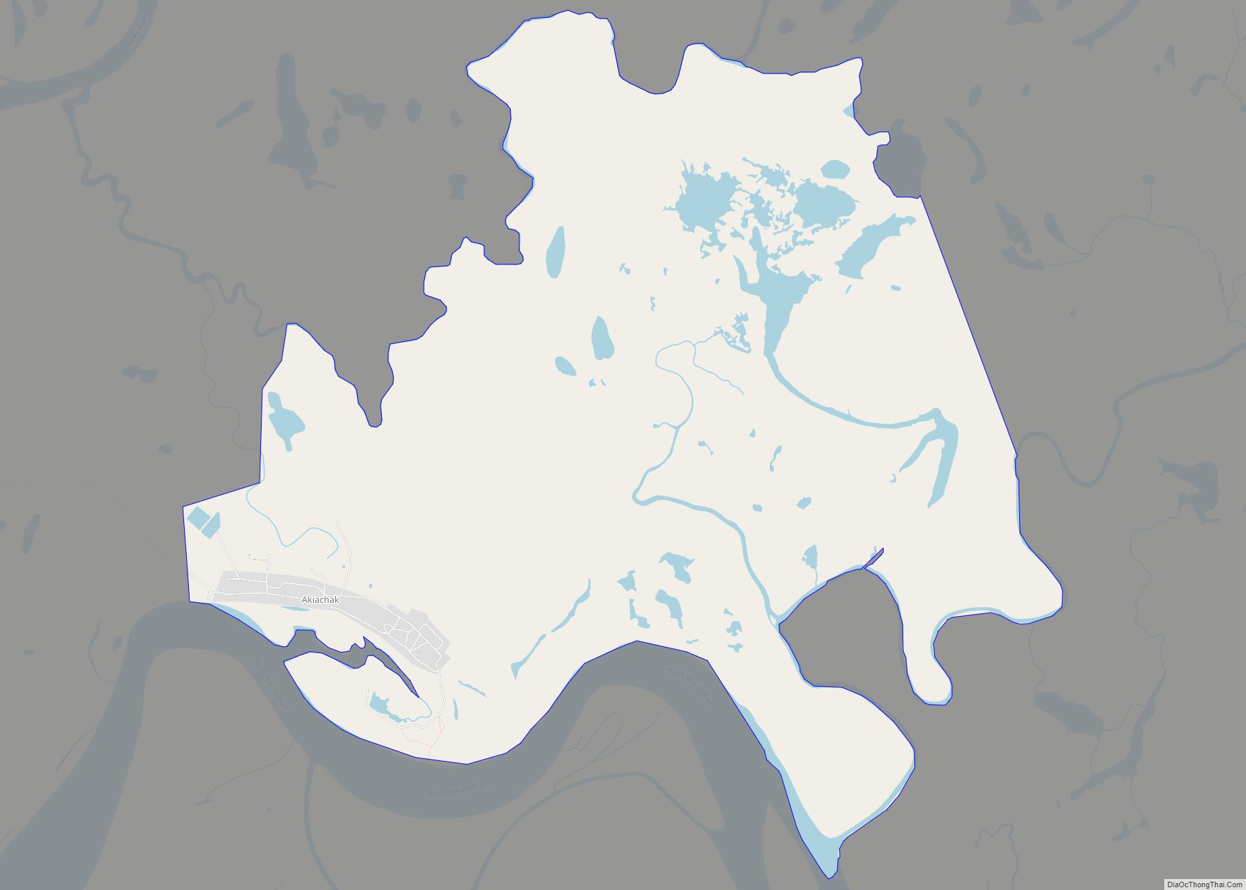
| County: | Bethel Census Area |
| Total Area: | 4.56 sq mi (11.80 km²) |
| Land Area: | 3.14 sq mi (8.13 km²) |
| Water Area: | 1.42 sq mi (3.68 km²) |
| Total Population: | 57 |
| Population Density: | 18.17/sq mi (7.02/km²) |
| Area code: | 907 |
| FIPS code: | 0273400 |
Online Interactive Map
Click on ![]() to view map in "full screen" mode.
to view map in "full screen" mode.
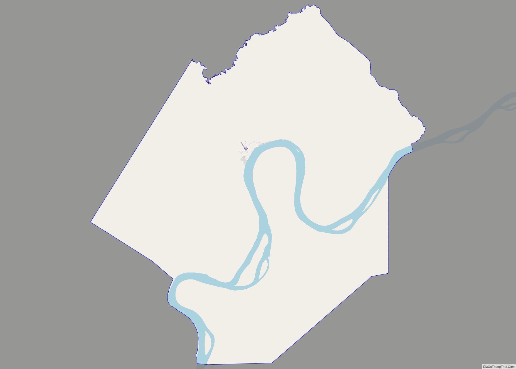
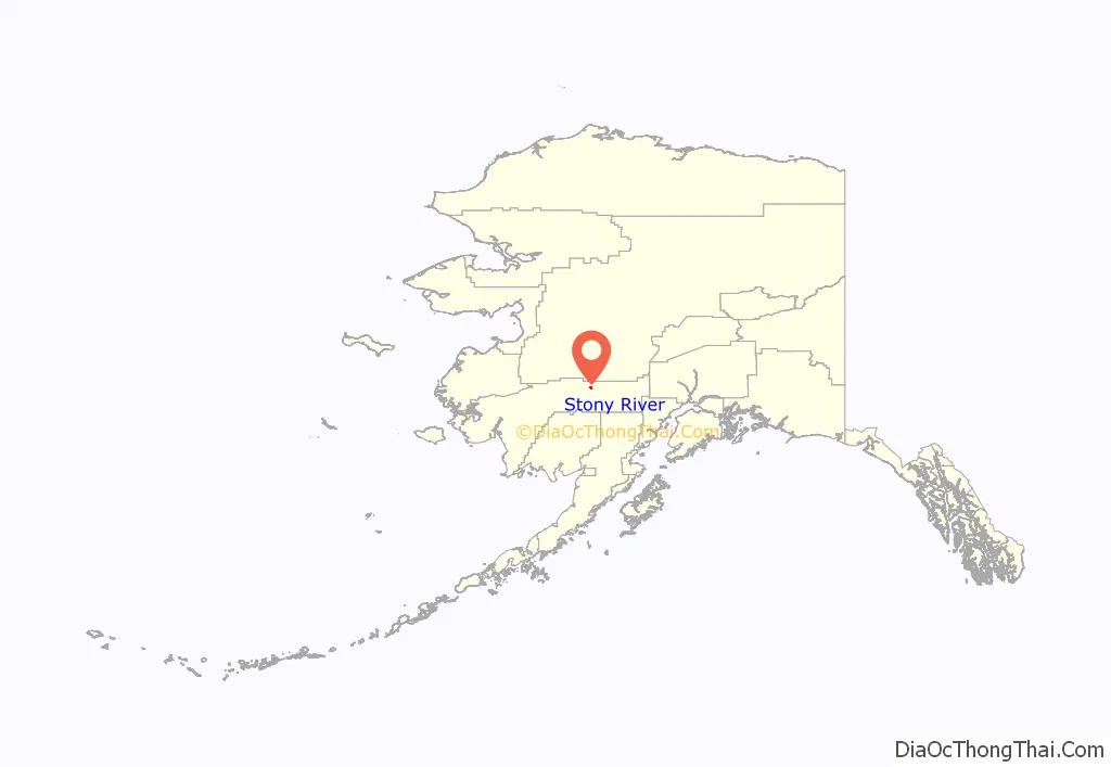
Stony River location map. Where is Stony River CDP?
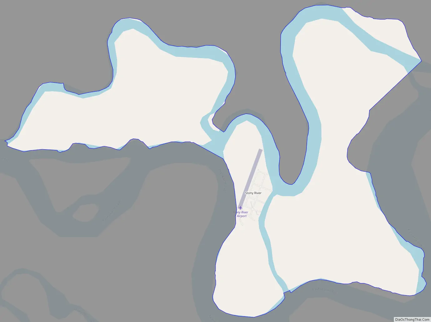
Stony River Road Map
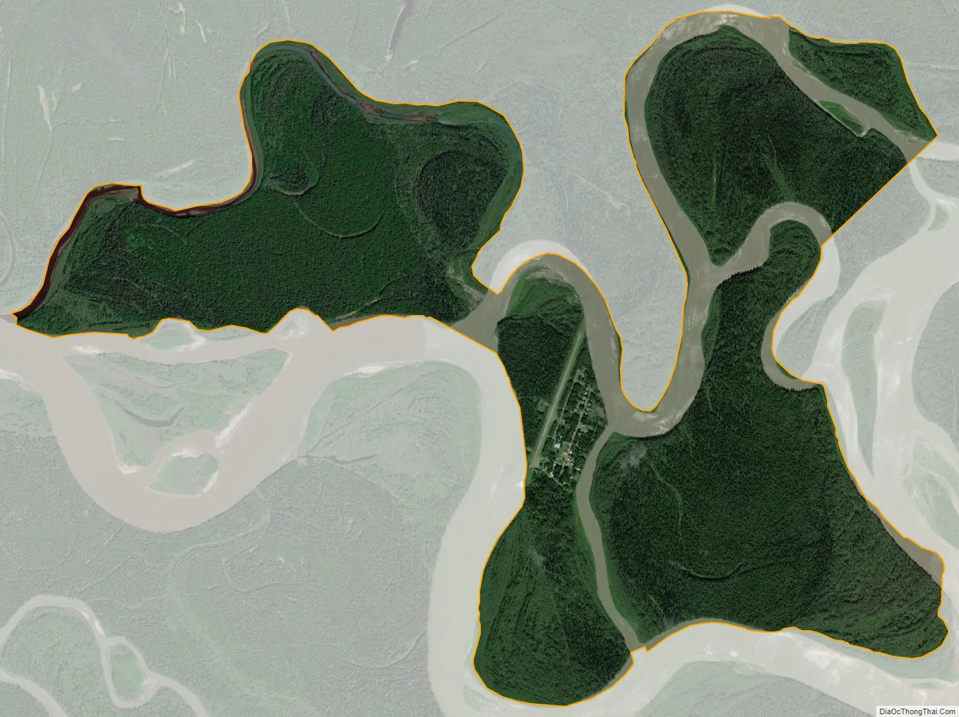
Stony River city Satellite Map
Geography
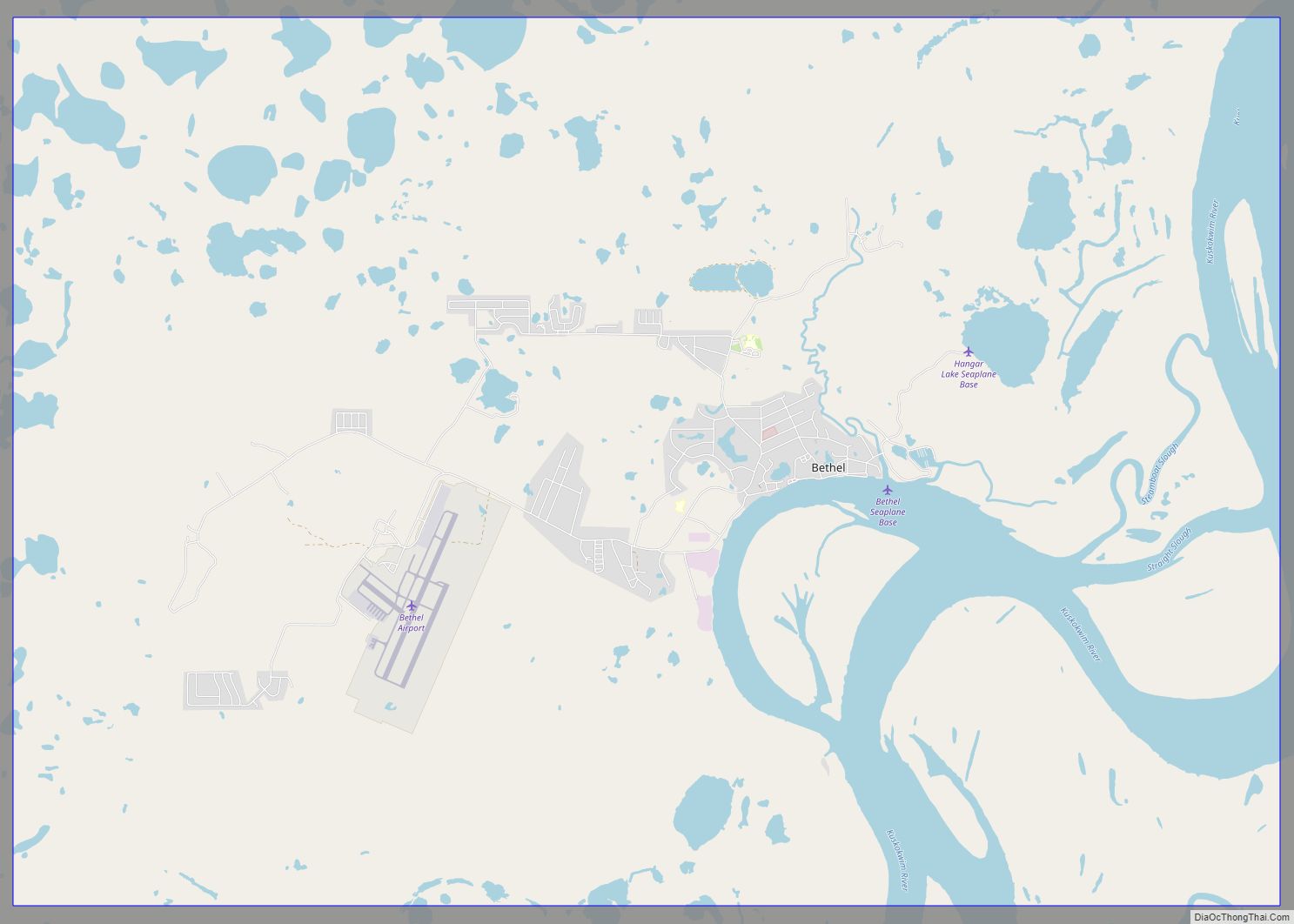
The Stony River CDP is located at 61°47′15″N 156°35′28″W / 61.78750°N 156.59111°W / 61.78750; -156.59111 (61.787592, -156.591194) on an island in the Kuskokwim River at the mouth of the Stony River, approximately 140 miles (230 km) northeast (upriver) of Bethel.
According to the United States Census Bureau, the CDP has a total area of 4.9 square miles (12.6 km), of which 3.1 square miles (8.0 km) is land and 1.8 square miles (4.6 km), or 36.71%, is water.
See also
Map of Alaska State and its subdivision:- Aleutians East
- Aleutians West
- Anchorage
- Bethel
- Bristol Bay
- Denali
- Dillingham
- Fairbanks North Star
- Haines
- Juneau
- Kenai Peninsula
- Ketchikan Gateway
- Kodiak Island
- Lake and Peninsula
- Matanuska-Susitna
- Nome
- North Slope
- Northwest Arctic
- Prince of Wales-Outer Ketchi
- Sitka
- Skagway-Yakutat-Angoon
- Southeast Fairbanks
- Valdez-Cordova
- Wade Hampton
- Wrangell-Petersburg
- Yukon-Koyukuk
- Alabama
- Alaska
- Arizona
- Arkansas
- California
- Colorado
- Connecticut
- Delaware
- District of Columbia
- Florida
- Georgia
- Hawaii
- Idaho
- Illinois
- Indiana
- Iowa
- Kansas
- Kentucky
- Louisiana
- Maine
- Maryland
- Massachusetts
- Michigan
- Minnesota
- Mississippi
- Missouri
- Montana
- Nebraska
- Nevada
- New Hampshire
- New Jersey
- New Mexico
- New York
- North Carolina
- North Dakota
- Ohio
- Oklahoma
- Oregon
- Pennsylvania
- Rhode Island
- South Carolina
- South Dakota
- Tennessee
- Texas
- Utah
- Vermont
- Virginia
- Washington
- West Virginia
- Wisconsin
- Wyoming