Thorne Bay is a city in Prince of Wales-Hyder Census Area, Alaska, United States. As of the 2020 census the population was 476, up from 471 in 2010.
| Name: | Thorne Bay city |
|---|---|
| LSAD Code: | 25 |
| LSAD Description: | city (suffix) |
| State: | Alaska |
| County: | Prince of Wales-Hyder Census Area |
| Incorporated: | August 9, 1982 |
| Elevation: | 128 ft (39 m) |
| Total Area: | 29.72 sq mi (76.97 km²) |
| Land Area: | 26.67 sq mi (69.08 km²) |
| Water Area: | 3.04 sq mi (7.88 km²) |
| Total Population: | 476 |
| Population Density: | 17.85/sq mi (6.89/km²) |
| ZIP code: | 99919 |
| Area code: | 907 |
| FIPS code: | 0277140 |
| GNISfeature ID: | 1669435 |
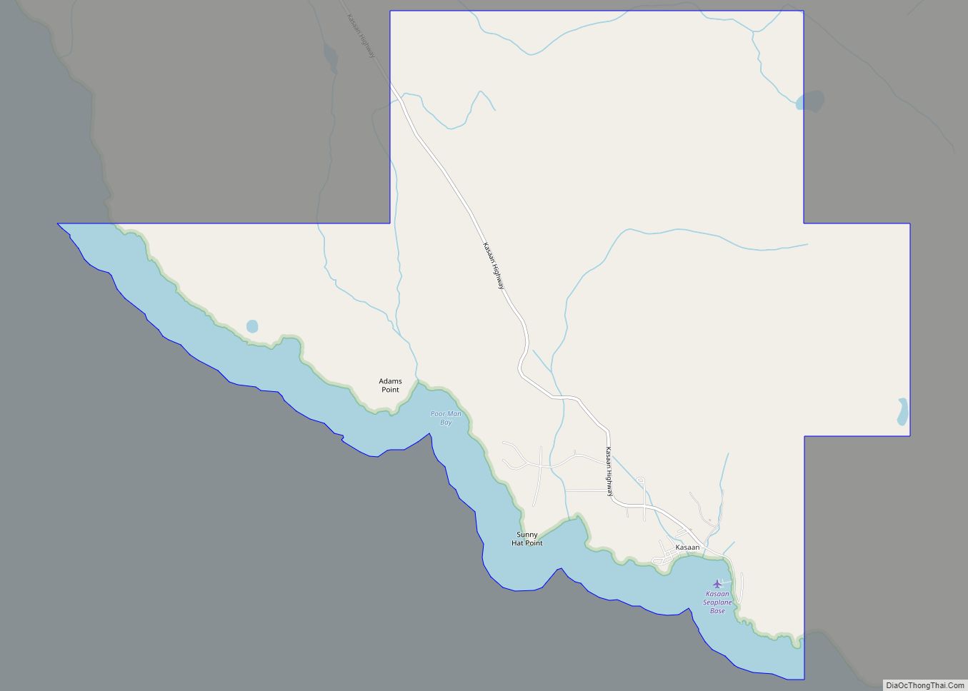
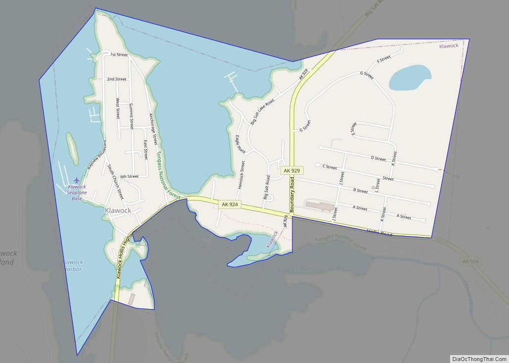
Online Interactive Map
Click on ![]() to view map in "full screen" mode.
to view map in "full screen" mode.
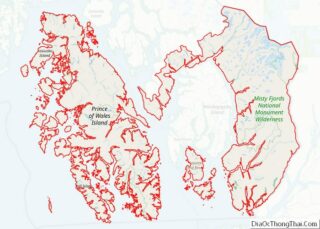
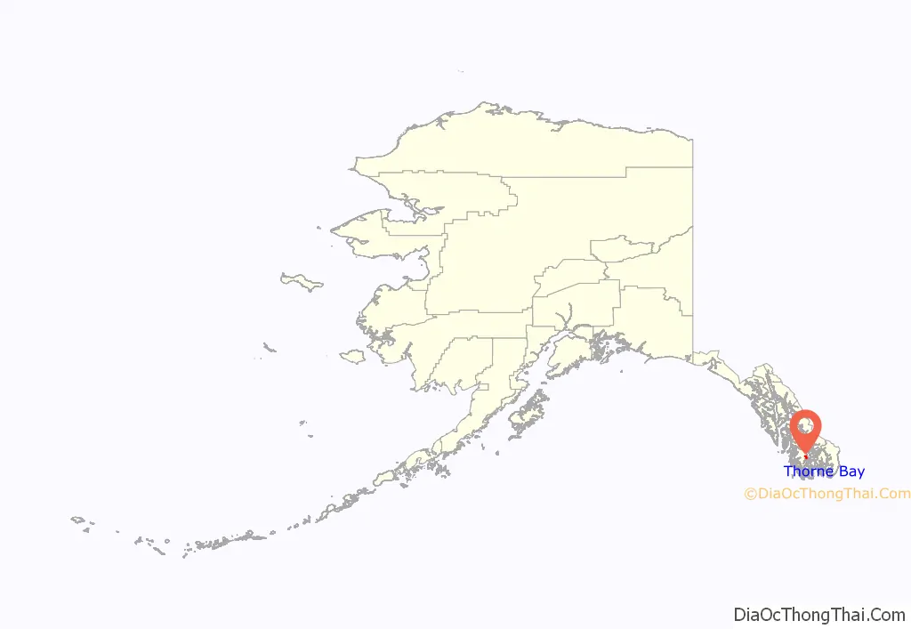
Thorne Bay location map. Where is Thorne Bay city?
History
Thorne Bay is named for Frank Manly Thorn, who served as Superintendent of the United States Coast and Geodetic Survey from 1885 to 1889. The name of the bay was misspelled when published in the original record, and the spelling was never corrected to match the spelling of Thorn’s last name.
Thorne Bay originally began as a large logging camp for the Ketchikan Pulp Company in 1960 that was originally located in Hollis. Being a floating camp at the time, most Hollis residents resided in float houses. In the 1960s and 1970s it was the largest logging camp in North America and was host to over 1500 residents at its peak. It became a second-class city in 1982 and in 2001 the logging company pulled out having been a victim of breach of contract from the U.S. Forest Service. The U.S. Forest Service signed a fifty-year contract in 1954 guaranteeing 150 million board foot (350 thousand m) per year for the pulp mill and sawmills in Ketchikan. By 1990 that figure was down to approximately 50 million board foot (120 thousand m) per year. Currently Thorne Bay features many seasonal residents and an employment sector based primarily in Forest Service and public education.
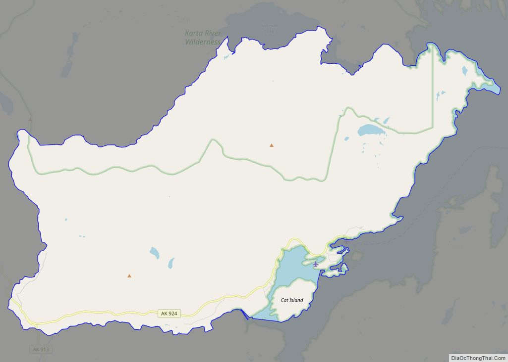
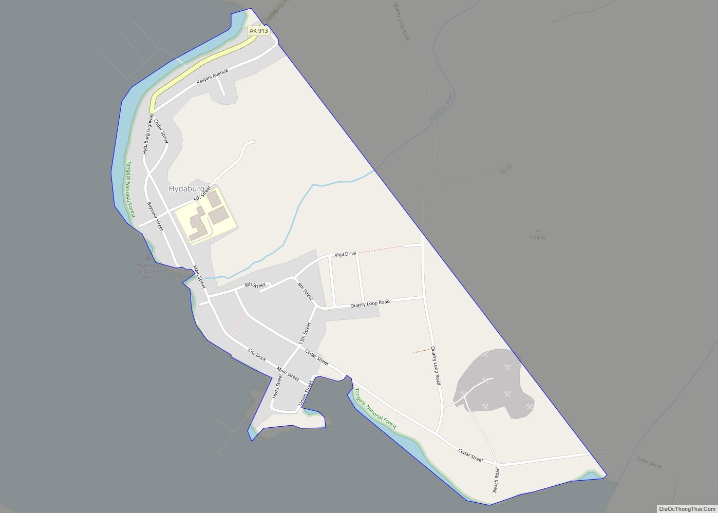
Thorne Bay Road Map
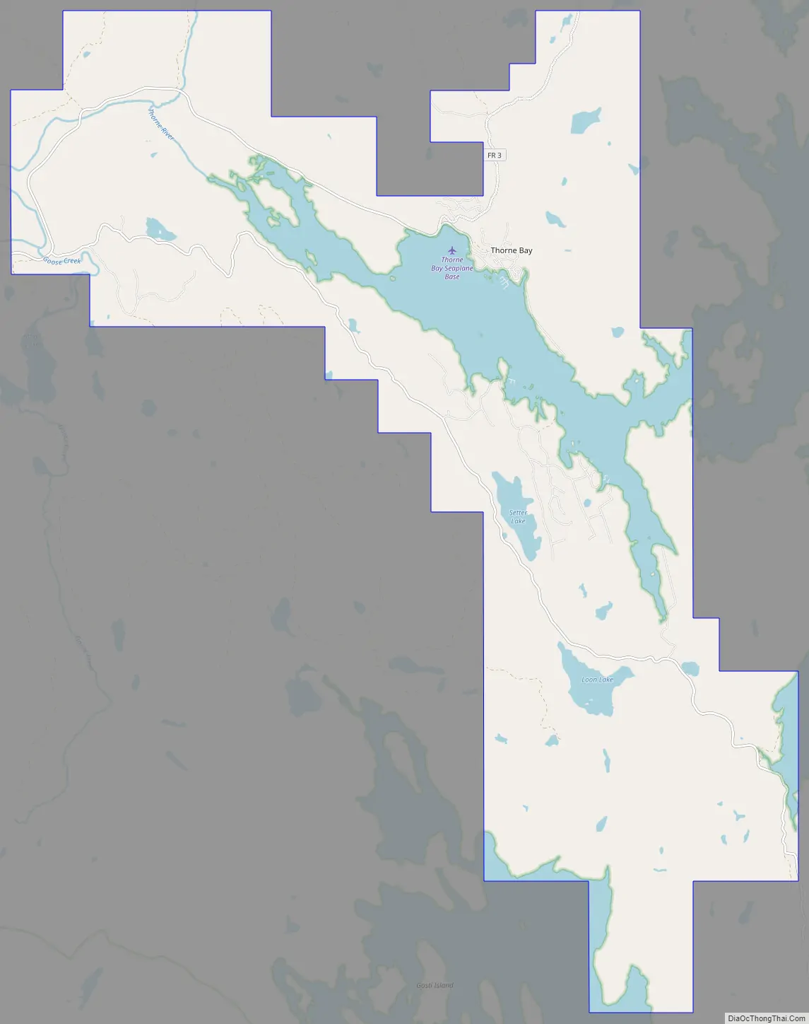
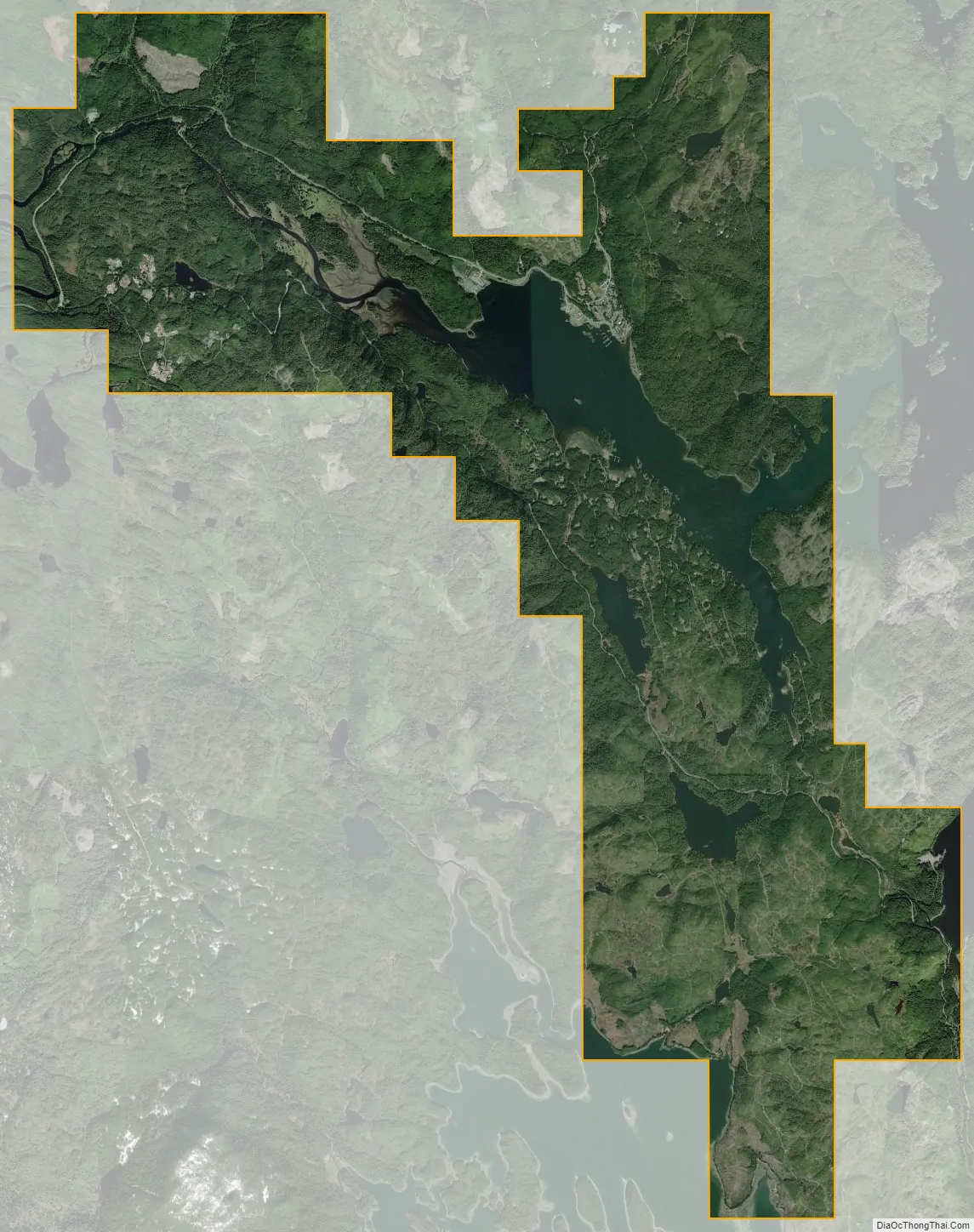
Thorne Bay city Satellite Map
Geography
Thorne Bay is located at 55°40′38″N 132°33′22″W / 55.677232°N 132.556246°W / 55.677232; -132.556246.
According to the United States Census Bureau, the city has a total area of 30.4 square miles (79 km), of which, 25.5 square miles (66 km) of it is land and 4.8 square miles (12 km) of it (15.85%) is water.
Climate
The average temperature of Thorne Bay is 45 °F, which is much higher than the Alaska average temperature of 32 °F and is much lower than the national average temperature of 54 °F.
See also
Map of Alaska State and its subdivision:- Aleutians East
- Aleutians West
- Anchorage
- Bethel
- Bristol Bay
- Denali
- Dillingham
- Fairbanks North Star
- Haines
- Juneau
- Kenai Peninsula
- Ketchikan Gateway
- Kodiak Island
- Lake and Peninsula
- Matanuska-Susitna
- Nome
- North Slope
- Northwest Arctic
- Prince of Wales-Outer Ketchi
- Sitka
- Skagway-Yakutat-Angoon
- Southeast Fairbanks
- Valdez-Cordova
- Wade Hampton
- Wrangell-Petersburg
- Yukon-Koyukuk
- Alabama
- Alaska
- Arizona
- Arkansas
- California
- Colorado
- Connecticut
- Delaware
- District of Columbia
- Florida
- Georgia
- Hawaii
- Idaho
- Illinois
- Indiana
- Iowa
- Kansas
- Kentucky
- Louisiana
- Maine
- Maryland
- Massachusetts
- Michigan
- Minnesota
- Mississippi
- Missouri
- Montana
- Nebraska
- Nevada
- New Hampshire
- New Jersey
- New Mexico
- New York
- North Carolina
- North Dakota
- Ohio
- Oklahoma
- Oregon
- Pennsylvania
- Rhode Island
- South Carolina
- South Dakota
- Tennessee
- Texas
- Utah
- Vermont
- Virginia
- Washington
- West Virginia
- Wisconsin
- Wyoming