Toksook Bay (TOOK-sook or TUCK-sook) is a city and village on Nelson Island in Bethel Census Area, Alaska. The population was 590 at the 2010 census, up from 532 in 2000. As of 2018, the estimated population was 667, making it the largest village on the island.
Toksook Bay (pronounced Tuqsuk Bay in Yup’ik) was established in 1964 by residents of nearby Nightmute. Nunakauyaq is its ‘real name’. Almost the entire population are members of the Alaska Native Nunakauyarmiut (“People of Nunakauyaq”), who rely on fishing and other subsistence activities.
| Name: | Toksook Bay city |
|---|---|
| LSAD Code: | 25 |
| LSAD Description: | city (suffix) |
| State: | Alaska |
| County: | Bethel Census Area |
| Incorporated: | April 4, 1972 |
| Elevation: | 0 ft (0 m) |
| Total Area: | 70.53 sq mi (182.67 km²) |
| Land Area: | 28.71 sq mi (74.35 km²) |
| Water Area: | 41.82 sq mi (108.32 km²) |
| Total Population: | 658 |
| Population Density: | 22.92/sq mi (8.85/km²) |
| ZIP code: | 99637 |
| Area code: | 907 |
| FIPS code: | 0278240 |
| GNISfeature ID: | 1411060 |
Online Interactive Map
Click on ![]() to view map in "full screen" mode.
to view map in "full screen" mode.
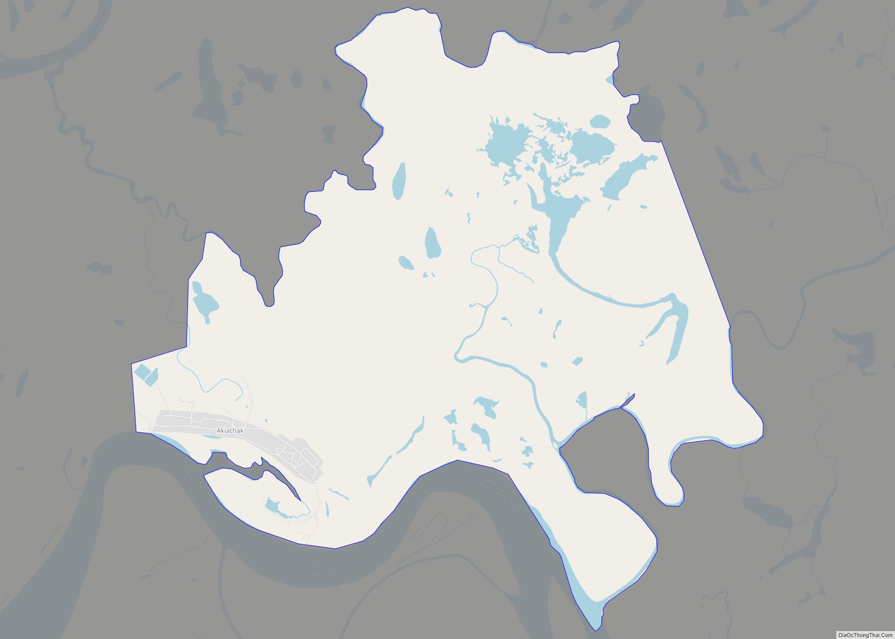
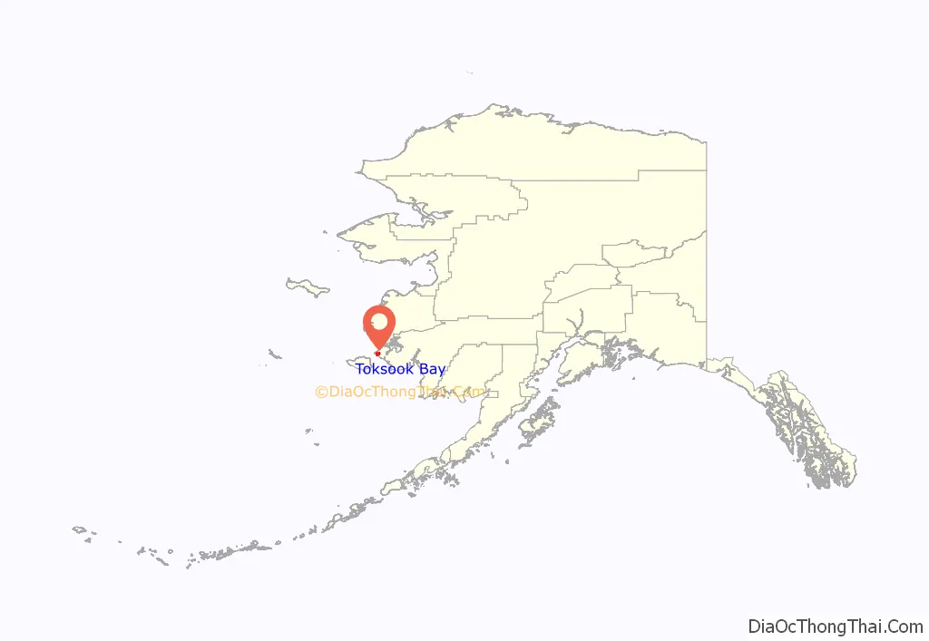
Toksook Bay location map. Where is Toksook Bay city?
History
The community was chosen as the site of first enumeration of the 2020 U.S. Census, due to the remoteness of the Alaskan Bush and the necessity of collecting census data early from remote sites. The enumeration started on January 21, 2020.
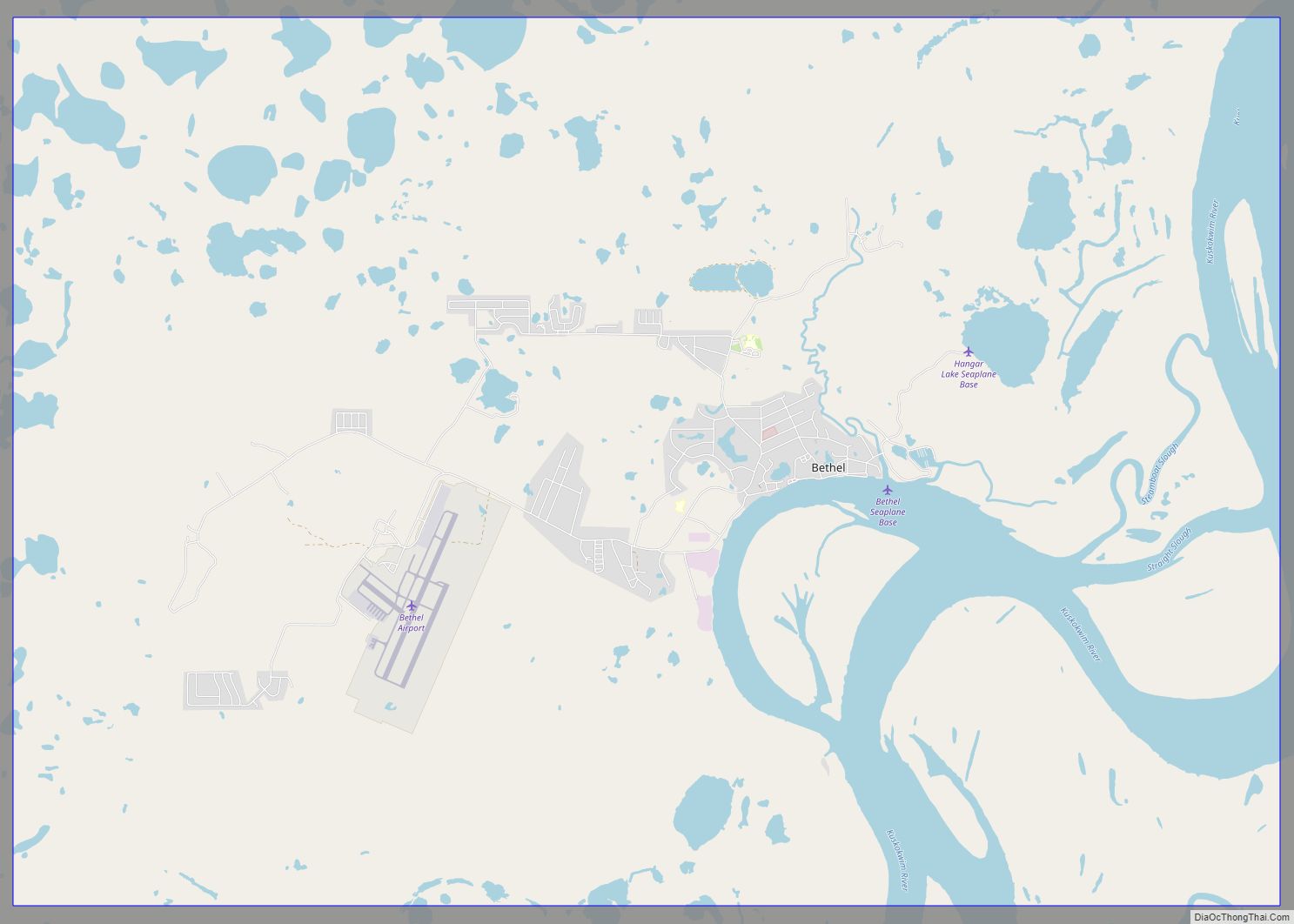
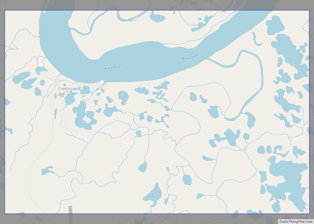
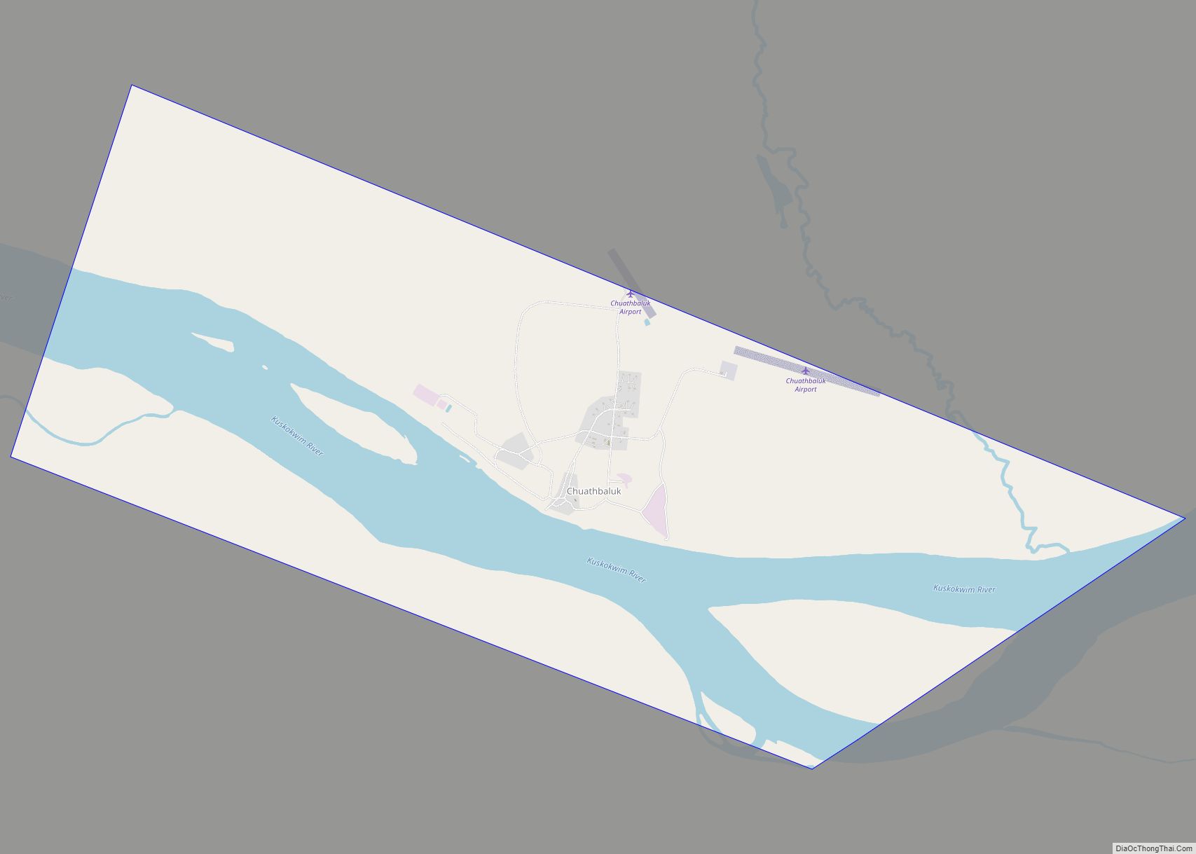
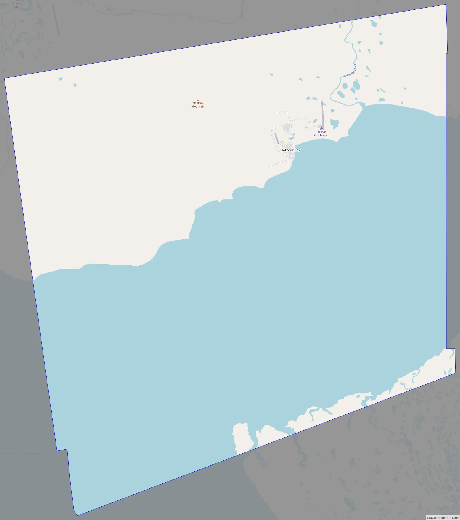
Toksook Bay Road Map
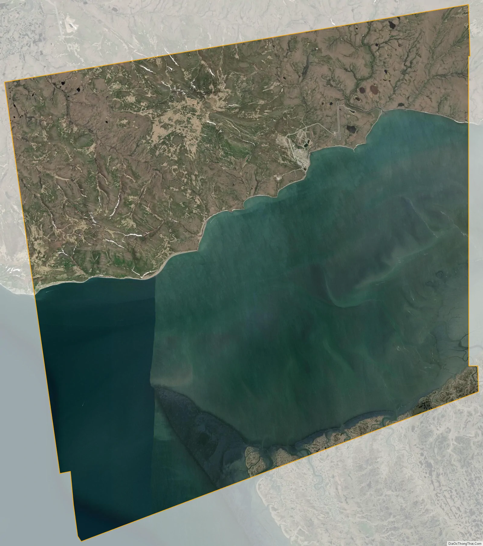
Toksook Bay city Satellite Map
See also
Map of Alaska State and its subdivision:- Aleutians East
- Aleutians West
- Anchorage
- Bethel
- Bristol Bay
- Denali
- Dillingham
- Fairbanks North Star
- Haines
- Juneau
- Kenai Peninsula
- Ketchikan Gateway
- Kodiak Island
- Lake and Peninsula
- Matanuska-Susitna
- Nome
- North Slope
- Northwest Arctic
- Prince of Wales-Outer Ketchi
- Sitka
- Skagway-Yakutat-Angoon
- Southeast Fairbanks
- Valdez-Cordova
- Wade Hampton
- Wrangell-Petersburg
- Yukon-Koyukuk
- Alabama
- Alaska
- Arizona
- Arkansas
- California
- Colorado
- Connecticut
- Delaware
- District of Columbia
- Florida
- Georgia
- Hawaii
- Idaho
- Illinois
- Indiana
- Iowa
- Kansas
- Kentucky
- Louisiana
- Maine
- Maryland
- Massachusetts
- Michigan
- Minnesota
- Mississippi
- Missouri
- Montana
- Nebraska
- Nevada
- New Hampshire
- New Jersey
- New Mexico
- New York
- North Carolina
- North Dakota
- Ohio
- Oklahoma
- Oregon
- Pennsylvania
- Rhode Island
- South Carolina
- South Dakota
- Tennessee
- Texas
- Utah
- Vermont
- Virginia
- Washington
- West Virginia
- Wisconsin
- Wyoming