Tyonek or Present / New Tyonek (Dena’ina: Qaggeyshlat – ″little place between toes”) is a census-designated place (CDP) in Kenai Peninsula Borough in the U.S. state of Alaska. As of the 2020 census the population was 152, down from 171 in 2010. In 1973, the community formed the Tyonek Native Corporation (TNC) under the Alaska Native Claims Settlement Act and is federally recognized.
| Name: | Tyonek CDP |
|---|---|
| LSAD Code: | 57 |
| LSAD Description: | CDP (suffix) |
| State: | Alaska |
| County: | Kenai Peninsula Borough |
| Total Area: | 69.03 sq mi (178.80 km²) |
| Land Area: | 67.93 sq mi (175.94 km²) |
| Water Area: | 1.10 sq mi (2.86 km²) |
| Total Population: | 152 |
| Population Density: | 2.24/sq mi (0.86/km²) |
| ZIP code: | 99682 |
| Area code: | 907 |
| FIPS code: | 0279890 |
Online Interactive Map
Click on ![]() to view map in "full screen" mode.
to view map in "full screen" mode.
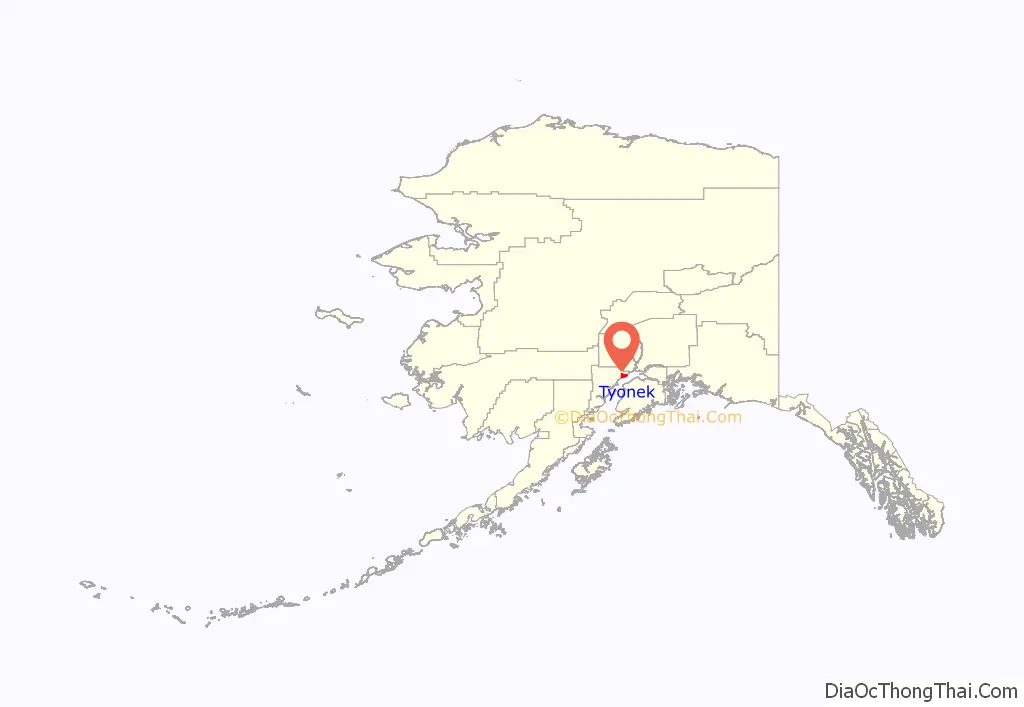
Tyonek location map. Where is Tyonek CDP?
History
A Dena’ina Alaska Native village at Tyonek was noted by the explorer James Cook in 1778. The Lebedev-Lastochkin Company, a Russian fur trade venture, maintained a small trapping station on the site of Tyonek. A detachment of the Vancouver Expedition under Joseph Whidbey visited the trading post in May 1794. Whidbey found that the LLC maintained “one large house, about fifty feet long, twenty-four wide, and about ten feet high; this was appropriated to the residence of nineteen Russians…” A smallpox epidemic in the late 1830s killed about half the population. Tyonek became a major port during the Resurrection Creek gold rush of the 1880s, but declined after the founding of Anchorage on the other side of Cook Inlet in 1915. Tyonek was moved to its current site when the original village, located on lower ground, flooded in the 1930s.
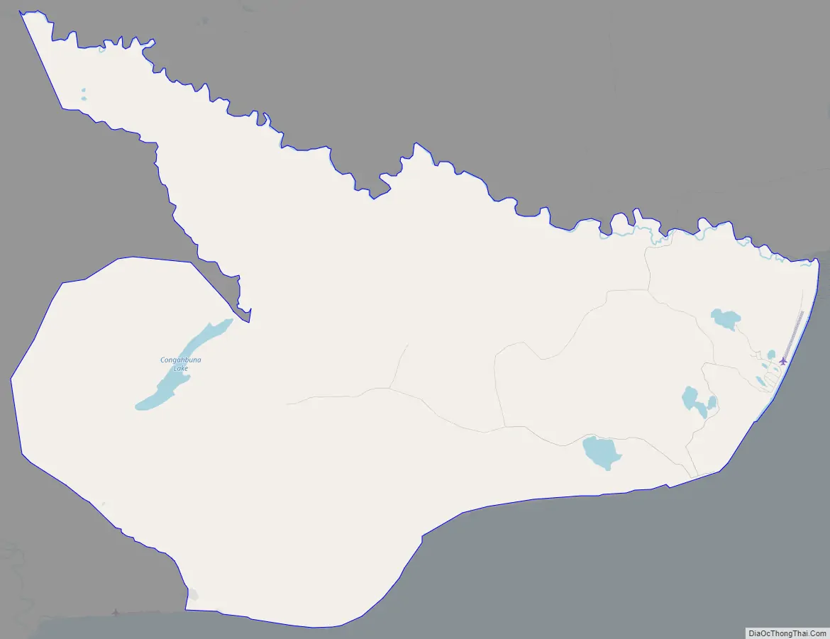
Tyonek Road Map
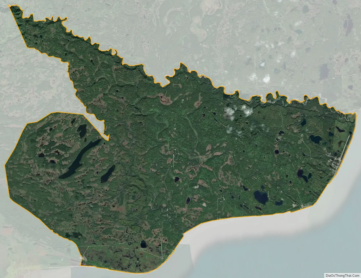
Tyonek city Satellite Map
Geography
Tyonek is located at 61°3′38″N 151°13′51″W / 61.06056°N 151.23083°W / 61.06056; -151.23083 (61.060470, -151.230697). Although politically in the Kenai Peninsula Borough, it is located on the mainland on the northwest side of Cook Inlet, across from the Kenai Peninsula. It is bordered to the northeast by the community of Beluga.
According to the United States Census Bureau, the CDP has a total area of 69.0 square miles (178.6 km), of which 67.9 square miles (175.8 km) are land and 1.1 square miles (2.9 km), or 1.61%, are water. The CDP extends from Trading Bay in the west to the mouth of the Chuitna River in the northeast. The present village of Tyonek, with an airstrip, is in the northeast part of the CDP, between the Chuitna River and Tyonek Creek.
See also
Map of Alaska State and its subdivision:- Aleutians East
- Aleutians West
- Anchorage
- Bethel
- Bristol Bay
- Denali
- Dillingham
- Fairbanks North Star
- Haines
- Juneau
- Kenai Peninsula
- Ketchikan Gateway
- Kodiak Island
- Lake and Peninsula
- Matanuska-Susitna
- Nome
- North Slope
- Northwest Arctic
- Prince of Wales-Outer Ketchi
- Sitka
- Skagway-Yakutat-Angoon
- Southeast Fairbanks
- Valdez-Cordova
- Wade Hampton
- Wrangell-Petersburg
- Yukon-Koyukuk
- Alabama
- Alaska
- Arizona
- Arkansas
- California
- Colorado
- Connecticut
- Delaware
- District of Columbia
- Florida
- Georgia
- Hawaii
- Idaho
- Illinois
- Indiana
- Iowa
- Kansas
- Kentucky
- Louisiana
- Maine
- Maryland
- Massachusetts
- Michigan
- Minnesota
- Mississippi
- Missouri
- Montana
- Nebraska
- Nevada
- New Hampshire
- New Jersey
- New Mexico
- New York
- North Carolina
- North Dakota
- Ohio
- Oklahoma
- Oregon
- Pennsylvania
- Rhode Island
- South Carolina
- South Dakota
- Tennessee
- Texas
- Utah
- Vermont
- Virginia
- Washington
- West Virginia
- Wisconsin
- Wyoming


