Whale Pass is a second class city in Prince of Wales-Hyder Census Area, Alaska, United States. The population was 31 at the 2010 census, down from 58 in 2000.
| Name: | Whale Pass city |
|---|---|
| LSAD Code: | 25 |
| LSAD Description: | city (suffix) |
| State: | Alaska |
| County: | Prince of Wales-Hyder Census Area |
| Elevation: | 128 ft (39 m) |
| Total Area: | 28.01 sq mi (72.54 km²) |
| Land Area: | 19.86 sq mi (51.43 km²) |
| Water Area: | 8.15 sq mi (21.11 km²) |
| Total Population: | 86 |
| Population Density: | 4.33/sq mi (1.67/km²) |
| ZIP code: | 99927, 99950 |
| Area code: | 907 |
| FIPS code: | 0284000 |
| GNISfeature ID: | 1744590 |
Online Interactive Map
Click on ![]() to view map in "full screen" mode.
to view map in "full screen" mode.
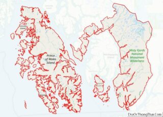
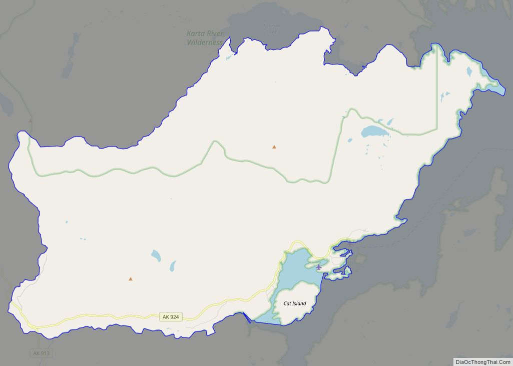
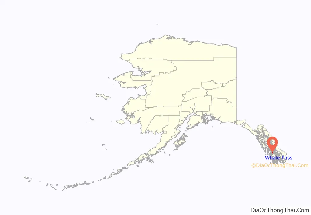
Whale Pass location map. Where is Whale Pass city?
History
Whale Pass was originally a logging camp and was first recognized in 1980 as North Whale Pass, before shortening the name to simply Whale Pass. From 1980 to 2017, it was an unincorporated census-designated place (CDP). On January 31, 2017, residents voted to incorporate as a second-class city, receiving just under 75% of 46 ballots cast. This would make Whale Pass the state’s 116th second-class city.
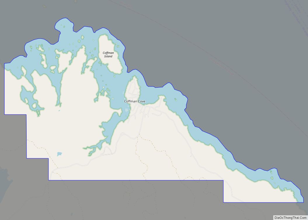
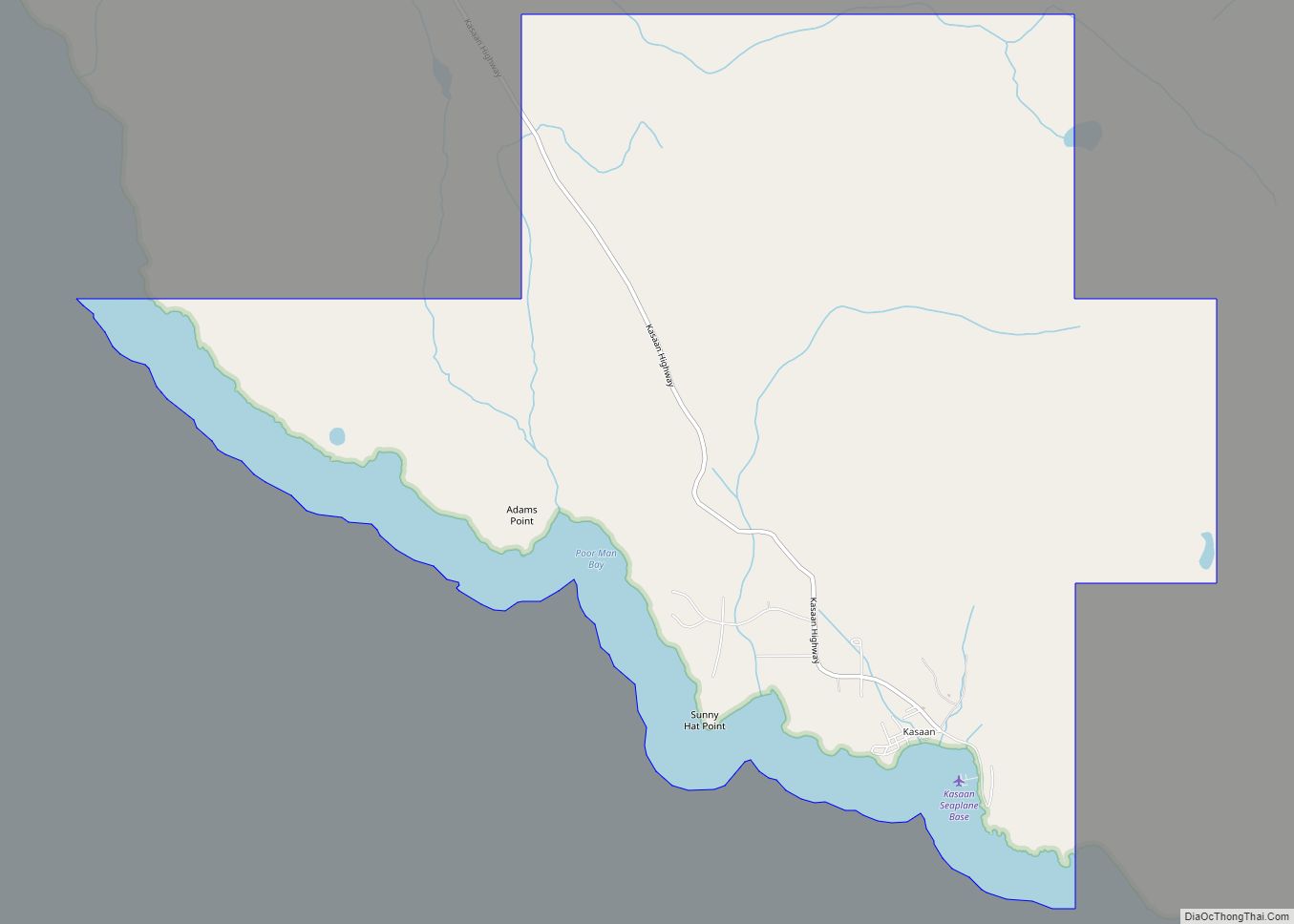
Whale Pass Road Map
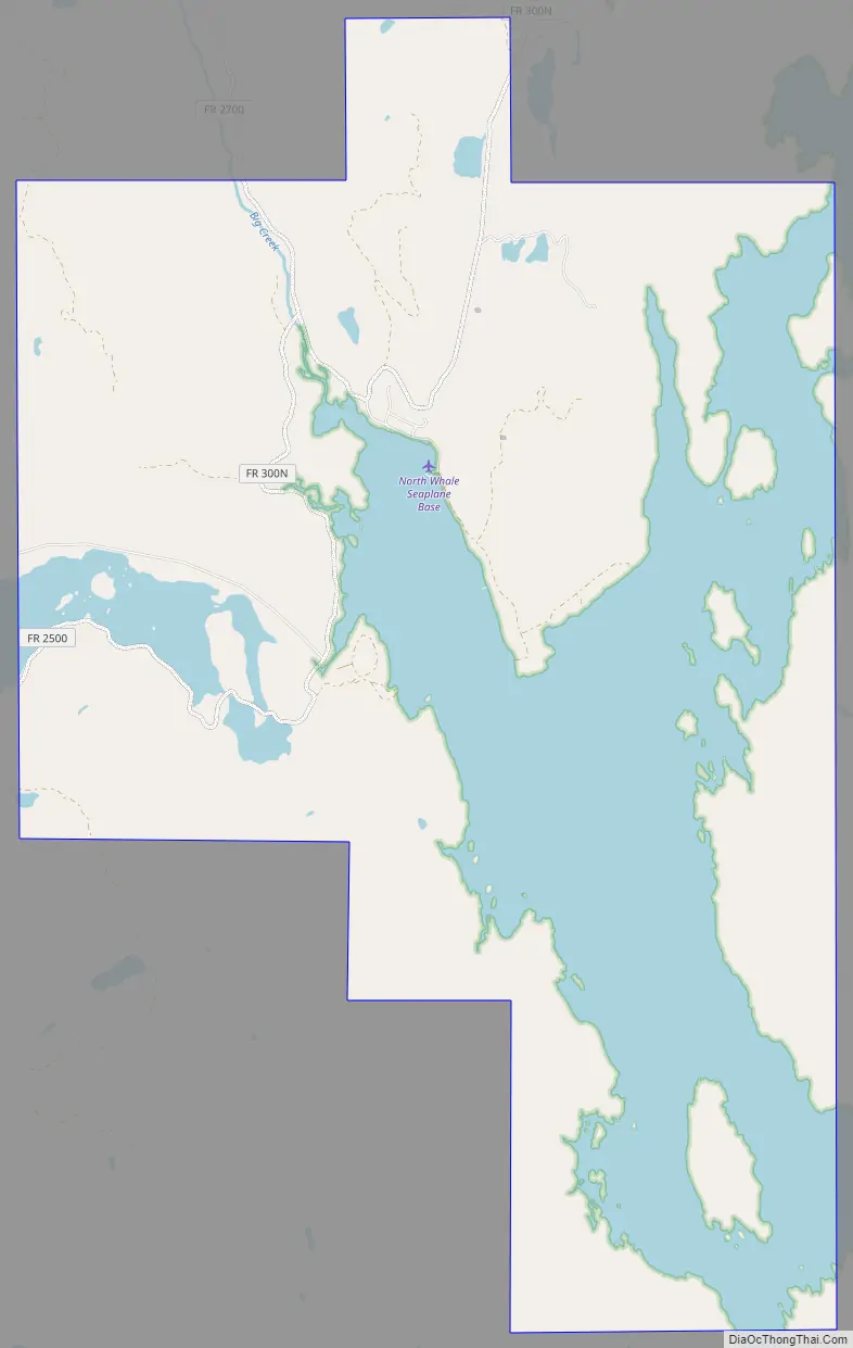
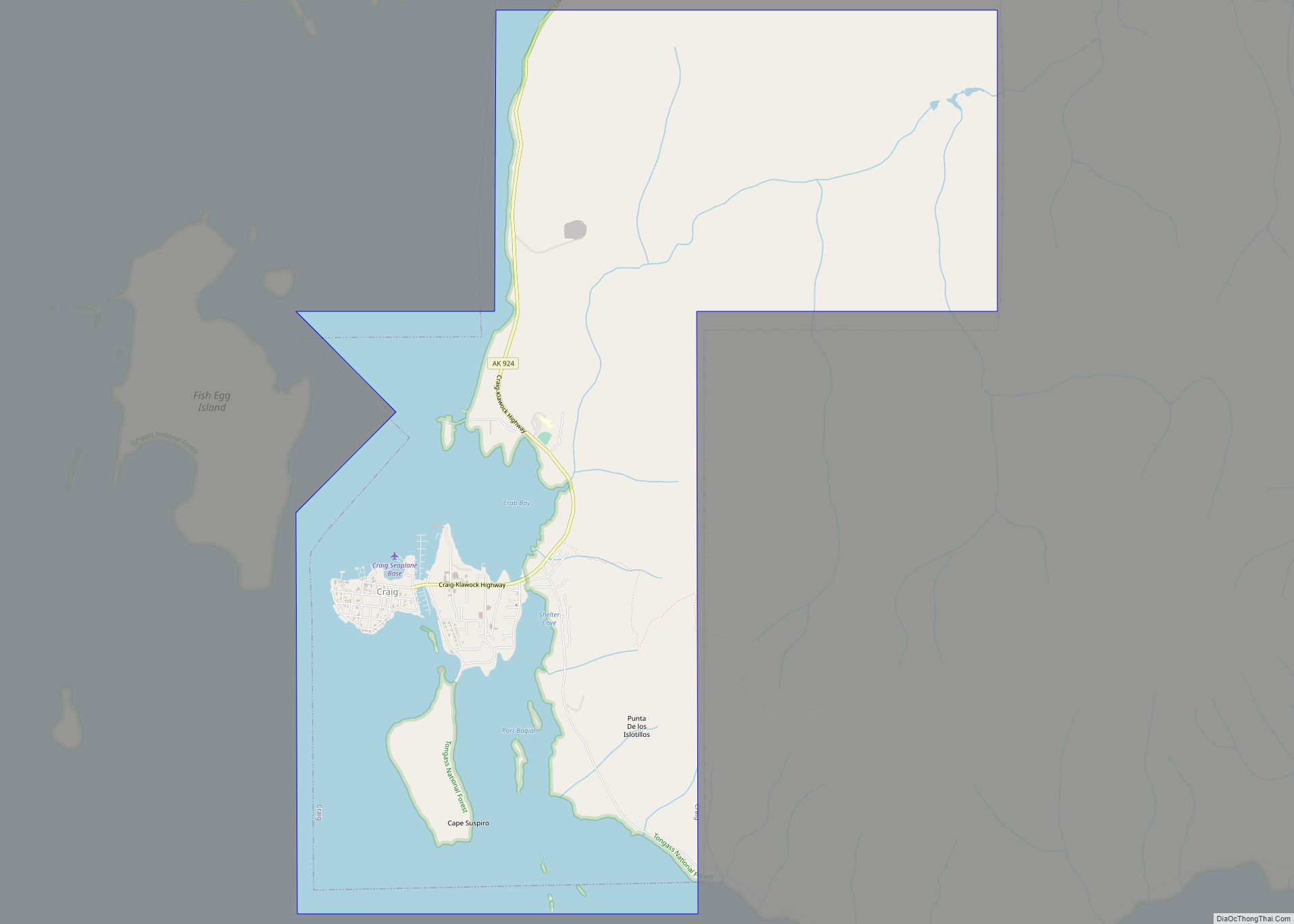
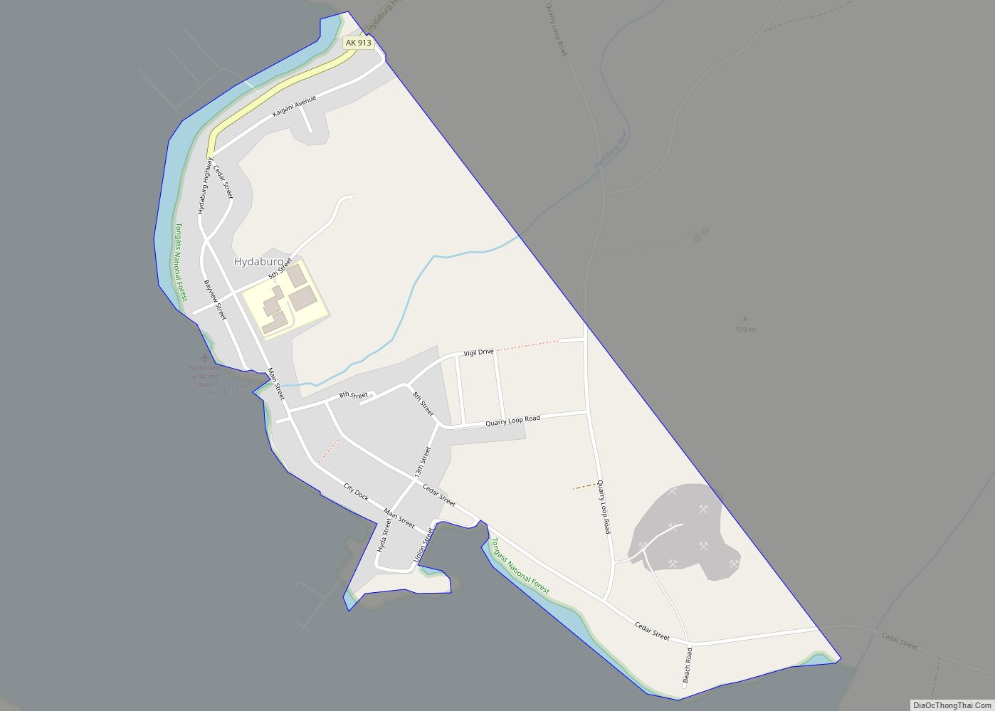
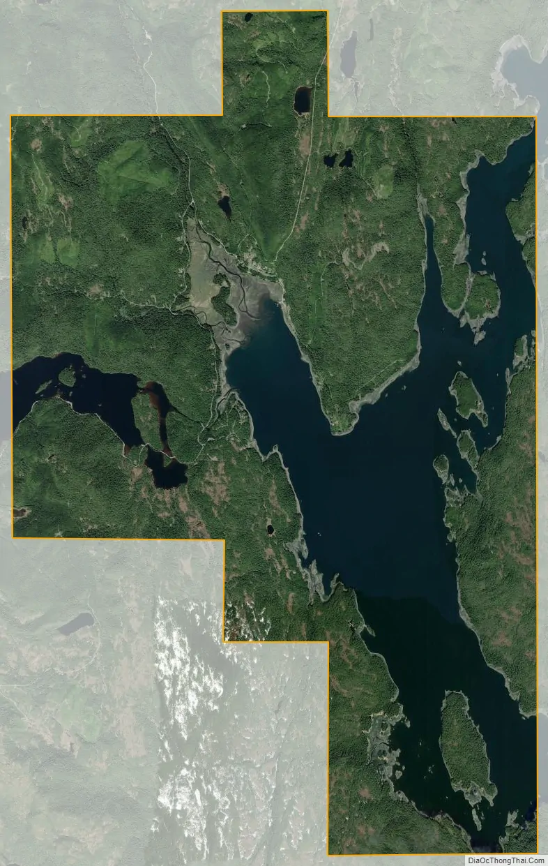
Whale Pass city Satellite Map
Geography
Whale Pass is located at 56°6′45″N 133°8′31″W / 56.11250°N 133.14194°W / 56.11250; -133.14194 (56.112370, -133.141892).
According to the United States Census Bureau, the CDP has a total area of 37.4 square miles (97 km), of which, 35.6 square miles (92 km)is land and 1.8 square miles (4.7 km)(4.68%) is water.
See also
Map of Alaska State and its subdivision:- Aleutians East
- Aleutians West
- Anchorage
- Bethel
- Bristol Bay
- Denali
- Dillingham
- Fairbanks North Star
- Haines
- Juneau
- Kenai Peninsula
- Ketchikan Gateway
- Kodiak Island
- Lake and Peninsula
- Matanuska-Susitna
- Nome
- North Slope
- Northwest Arctic
- Prince of Wales-Outer Ketchi
- Sitka
- Skagway-Yakutat-Angoon
- Southeast Fairbanks
- Valdez-Cordova
- Wade Hampton
- Wrangell-Petersburg
- Yukon-Koyukuk
- Alabama
- Alaska
- Arizona
- Arkansas
- California
- Colorado
- Connecticut
- Delaware
- District of Columbia
- Florida
- Georgia
- Hawaii
- Idaho
- Illinois
- Indiana
- Iowa
- Kansas
- Kentucky
- Louisiana
- Maine
- Maryland
- Massachusetts
- Michigan
- Minnesota
- Mississippi
- Missouri
- Montana
- Nebraska
- Nevada
- New Hampshire
- New Jersey
- New Mexico
- New York
- North Carolina
- North Dakota
- Ohio
- Oklahoma
- Oregon
- Pennsylvania
- Rhode Island
- South Carolina
- South Dakota
- Tennessee
- Texas
- Utah
- Vermont
- Virginia
- Washington
- West Virginia
- Wisconsin
- Wyoming