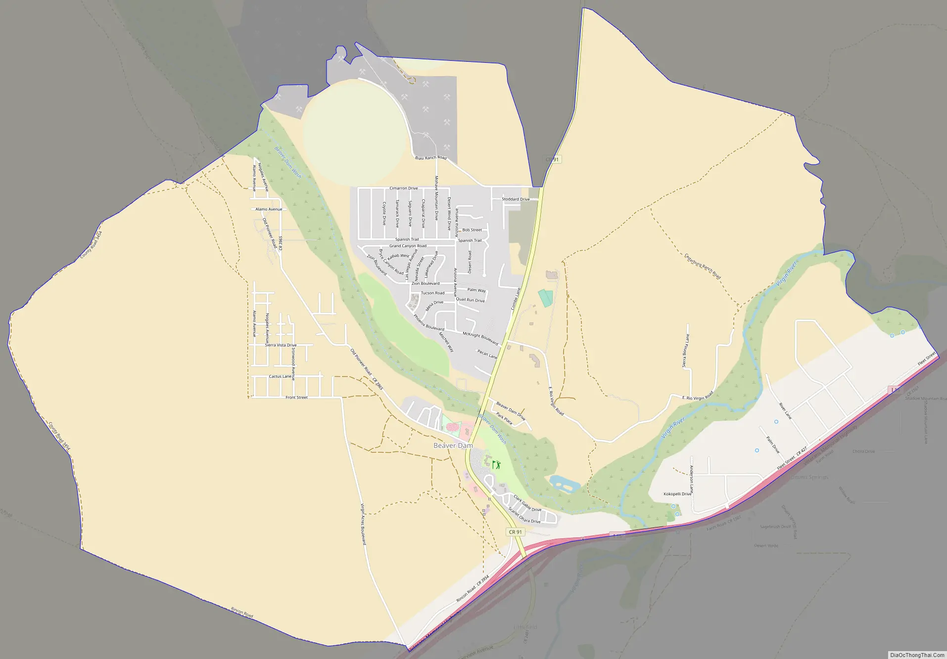
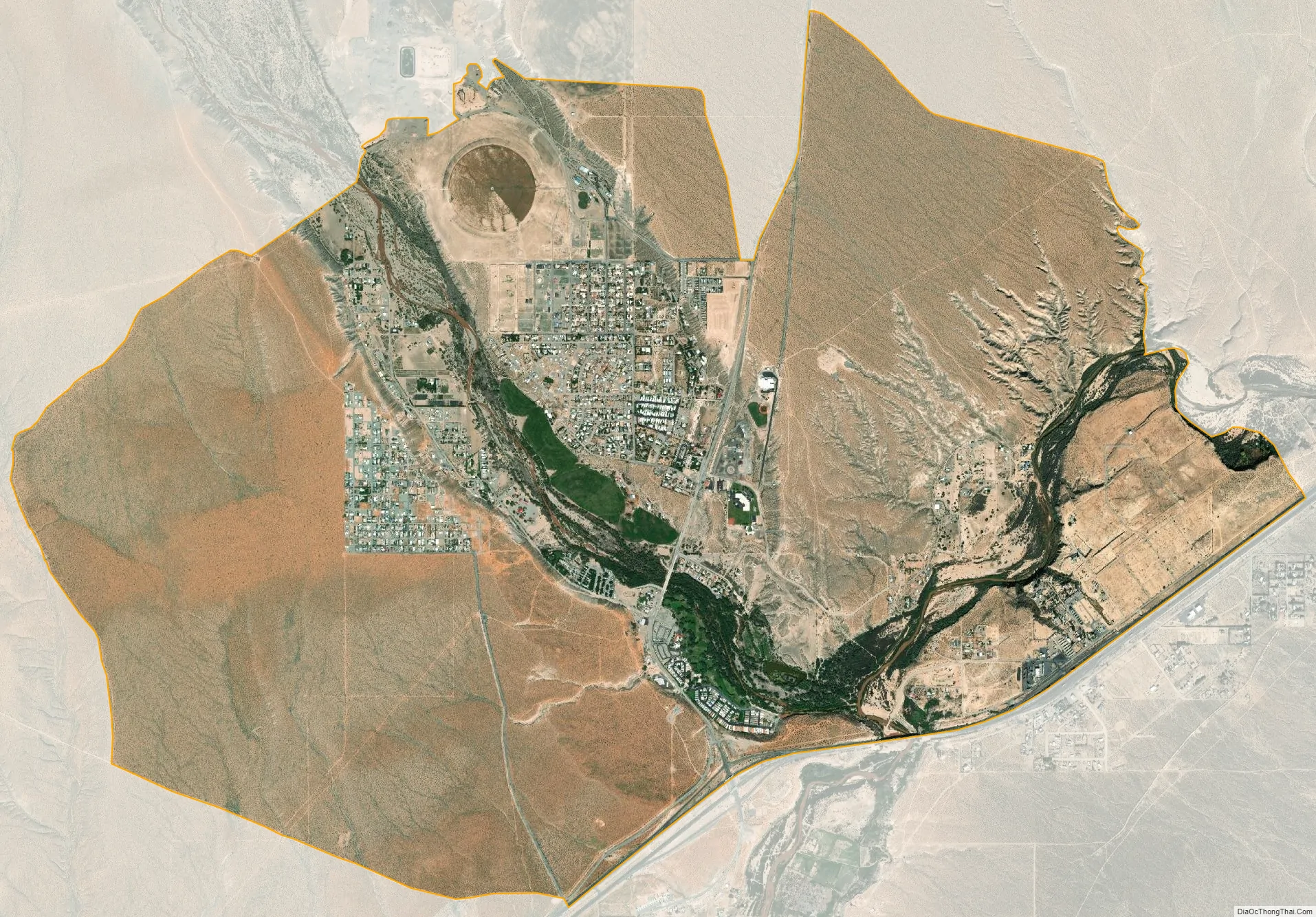
Beaver Dam is an unincorporated community and census-designated place (CDP) in Mohave County, Arizona, United States, that is located in the Arizona Strip region and was settled in 1863. It is located along Interstate 15 approximately 10 miles (16 km) northeast of Mesquite, Nevada. It is located in the 86432 ZIP Code. It had a population of 1,552 as of the 2020 census, down from 1,962 at the 2010 census.
Beaver Dam and the neighboring communities of Littlefield, Scenic and Desert Springs have the distinction of being the only towns in Arizona along I-15. Owing to their location in the Arizona Strip, northwest of the Grand Canyon and west of the Virgin River, they are isolated by hundreds of miles from the rest of the state. Absent by plane or helicopter, travel to other towns within Arizona requires crossing through either Nevada or Utah, or routing through unpaved roads to the rest of Arizona’s road network.
The great Western author and essayist Wallace Stegner reputedly said of the Arizona Strip that “it is connected geographically to Utah, politically to Arizona and neither one gives a damn.”
| Name: | Beaver Dam CDP |
|---|---|
| LSAD Code: | 57 |
| LSAD Description: | CDP (suffix) |
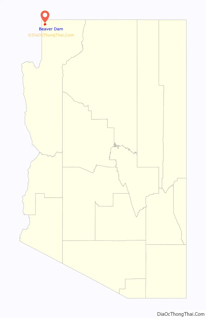
| State: | Arizona |
| County: | Mohave County |
| Founded: | 1863 |
| Total Area: | 8.49 sq mi (21.99 km²) |
| Land Area: | 8.49 sq mi (21.99 km²) |
| Water Area: | 0.00 sq mi (0.00 km²) |
| Total Population: | 1,552 |
| Population Density: | 182.80/sq mi (70.58/km²) |
| ZIP code: | 86432 |
| FIPS code: | 0405490 |
Online Interactive Map
Click on ![]() to view map in "full screen" mode.
to view map in "full screen" mode.
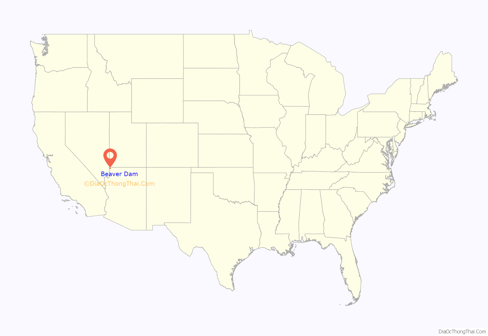
Beaver Dam location map. Where is Beaver Dam CDP?
History
The site of Beaver Dam was located along the pack horse route of the Old Spanish Trail from 1828 and the later wagon route of the Mormon Road between Salt Lake City and Los Angeles from 1847. Beaver Dam Wash and subsequently the town were named for a beaver dam that occupied and held back the waters on the wash when the first Mormon party under Jefferson Hunt established the wagon road through the area in 1847.
The Mormon Road was used by Forty-niners in 1849 and Mormon colonists and other travelers from then on. Both routes passed southward from the Beaver Dam Mountains to the Virgin River along the Beaver Dam Wash to where it met the river. From 1855, the road was a major wagon freighting road until the railroad arrived in Nevada in 1905. Beaver Dam was first settled by Mormon colonists in 1863.
Beaver Dam Road Map
Beaver Dam city Satellite Map
See also
Map of Arizona State and its subdivision: Map of other states:- Alabama
- Alaska
- Arizona
- Arkansas
- California
- Colorado
- Connecticut
- Delaware
- District of Columbia
- Florida
- Georgia
- Hawaii
- Idaho
- Illinois
- Indiana
- Iowa
- Kansas
- Kentucky
- Louisiana
- Maine
- Maryland
- Massachusetts
- Michigan
- Minnesota
- Mississippi
- Missouri
- Montana
- Nebraska
- Nevada
- New Hampshire
- New Jersey
- New Mexico
- New York
- North Carolina
- North Dakota
- Ohio
- Oklahoma
- Oregon
- Pennsylvania
- Rhode Island
- South Carolina
- South Dakota
- Tennessee
- Texas
- Utah
- Vermont
- Virginia
- Washington
- West Virginia
- Wisconsin
- Wyoming


