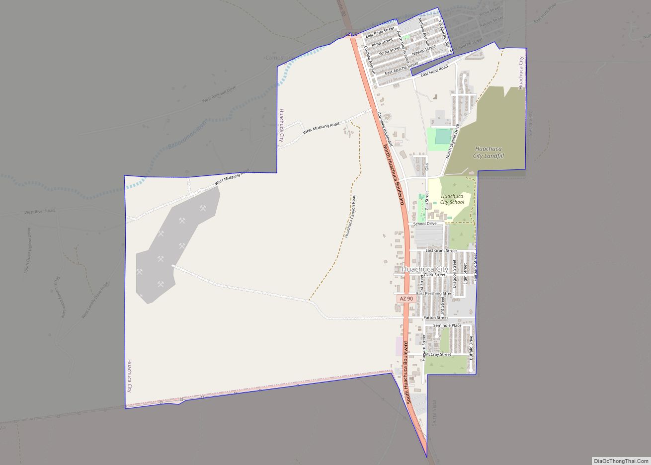
Huachuca City is a town in Cochise County, Arizona, United States. As of the 2010 census, the population was 1,853.
Fort Huachuca, a U.S. Army base, is located just south of the municipality.
| Name: | Huachuca City town |
|---|---|
| LSAD Code: | 43 |
| LSAD Description: | town (suffix) |
| State: | Arizona |
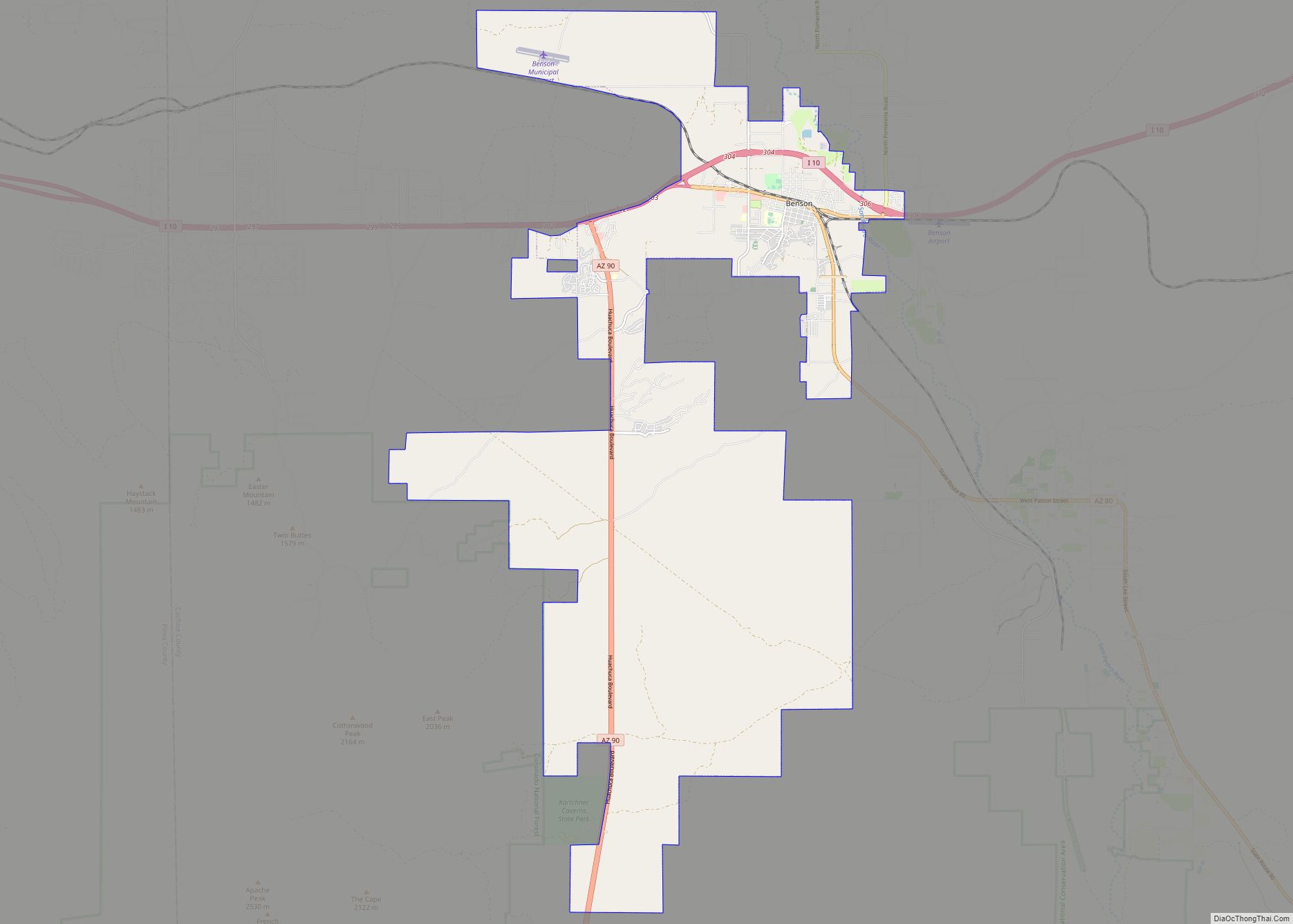
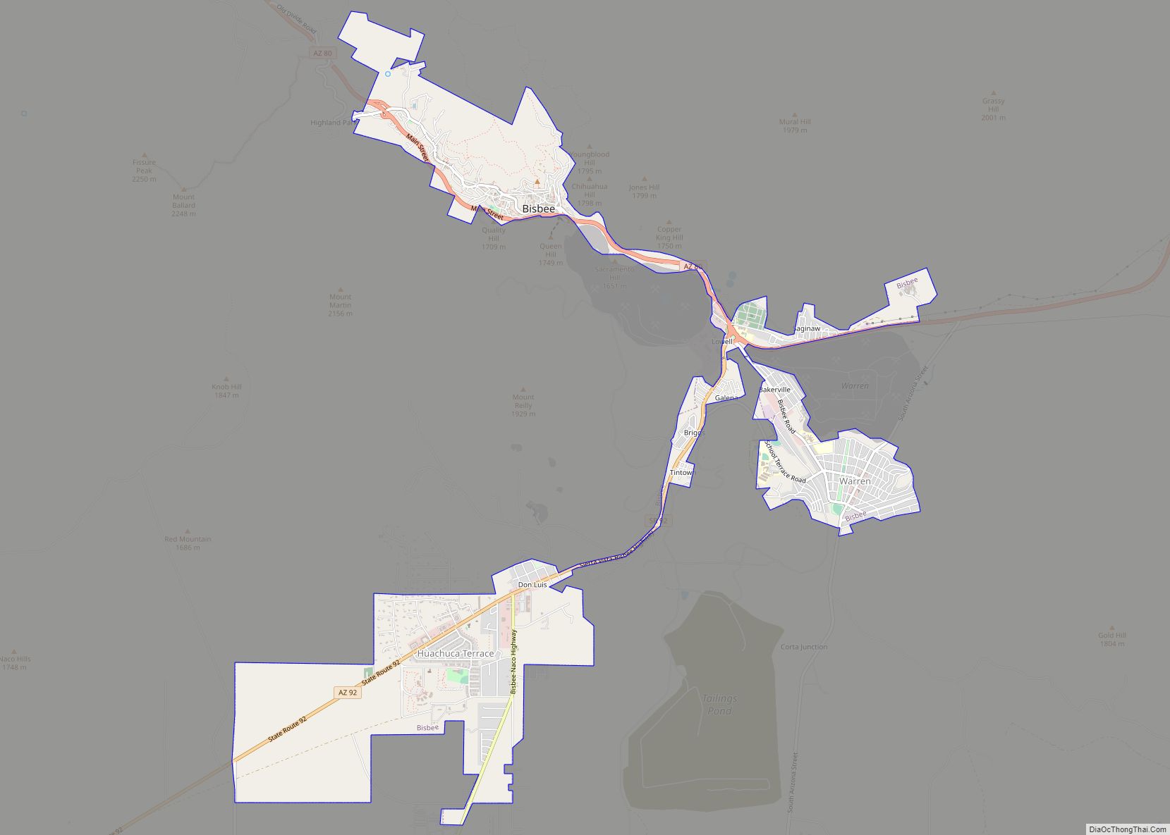
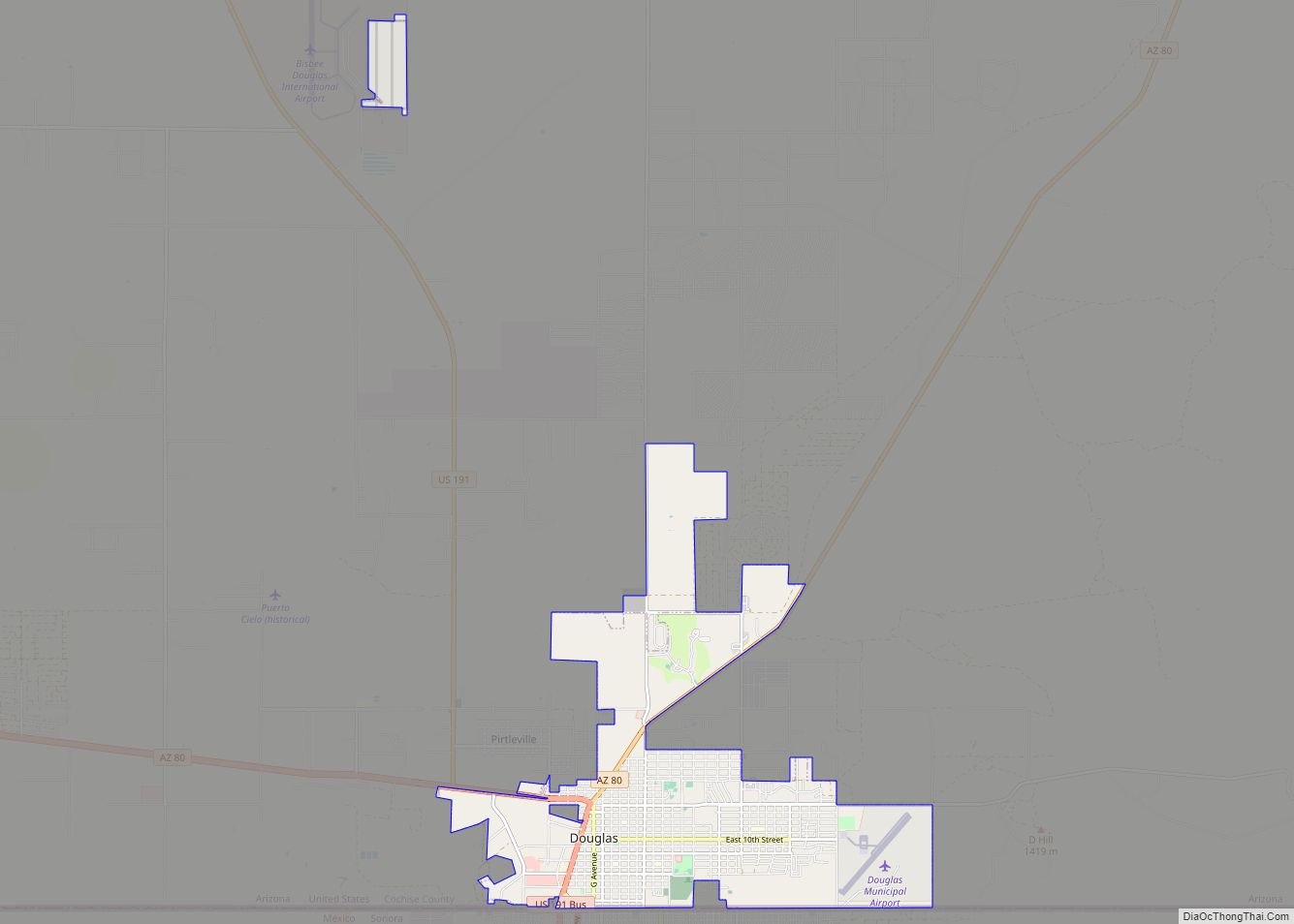
| County: | Cochise County |
| Incorporated: | 1958 |
| Elevation: | 4,400 ft (1,341 m) |
| Total Area: | 2.83 sq mi (7.32 km²) |
| Land Area: | 2.83 sq mi (7.32 km²) |
| Water Area: | 0.00 sq mi (0.00 km²) |
| Total Population: | 1,626 |
| Population Density: | 575.37/sq mi (222.12/km²) |
| ZIP code: | 85616 |
| Area code: | 520 |
| FIPS code: | 0434120 |
| GNISfeature ID: | 6076 |
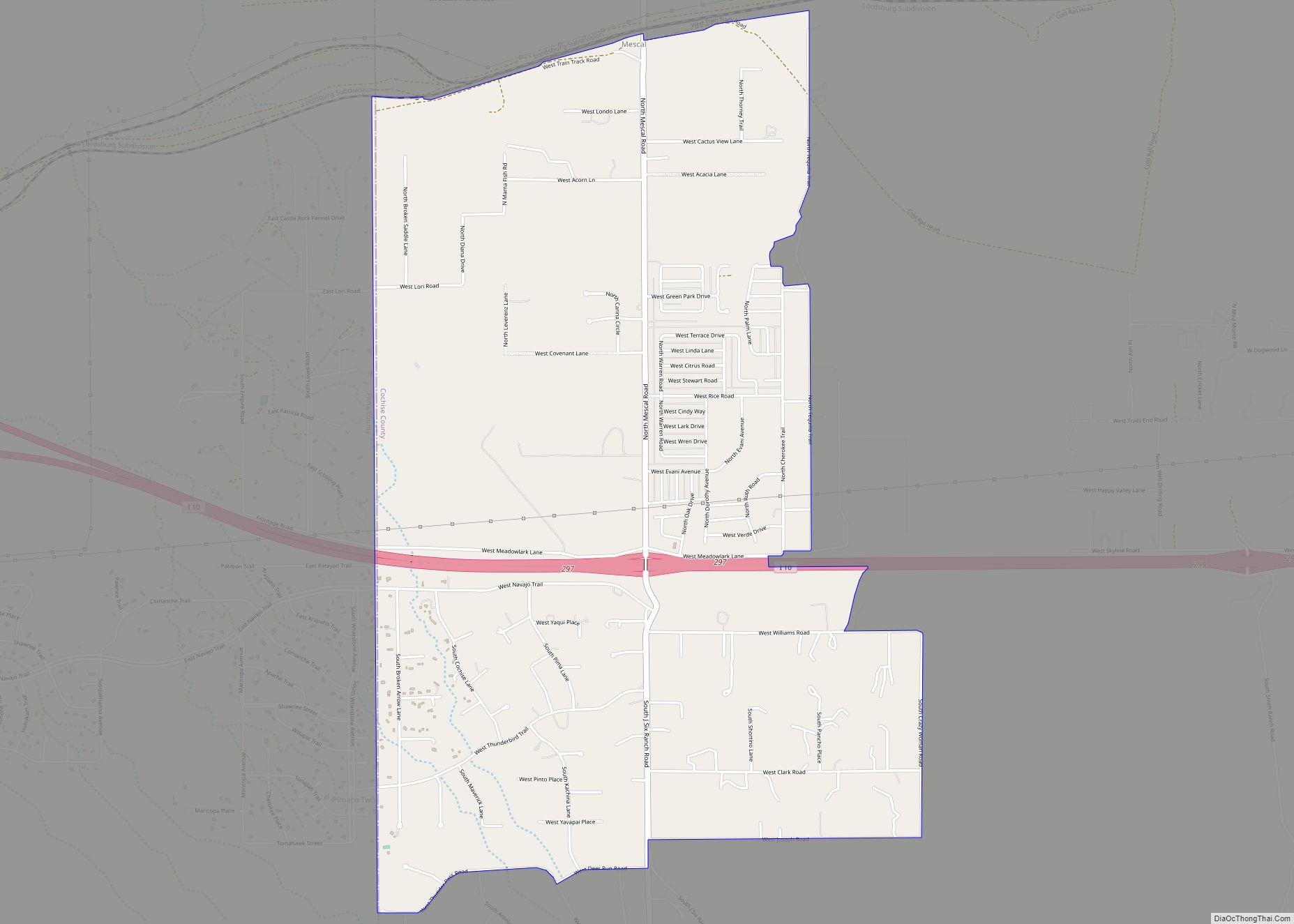
Online Interactive Map
Click on ![]() to view map in "full screen" mode.
to view map in "full screen" mode.
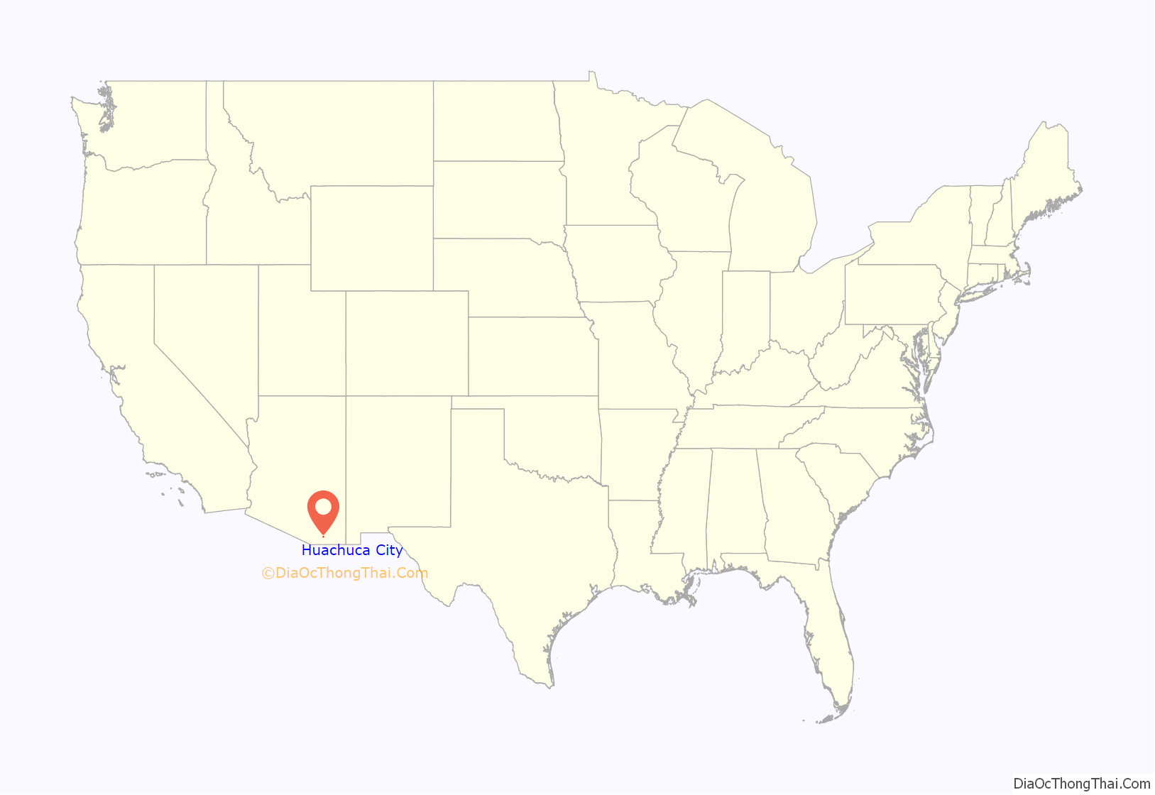
Huachuca City location map. Where is Huachuca City town?

History
Huachuca City started out as a stop along the Southern Pacific Railroad. The rail stretched between Tombstone and Patagonia and is no longer in operation today. With the re-opening of Fort Huachuca in 1954, the area began to grow and the community went through several name changes: Campstone Station, Sunset City, and Huachuca Vista, before finally settling on the name Huachuca City. It incorporated in 1958.
Today, Huachuca City is a small town located at the north exit of Fort Huachuca, the major employment for the town. With retirees moving in and tourism a major business because of the proximity to Tombstone and Kartchner Caverns State Park, Huachuca City is a growing area.
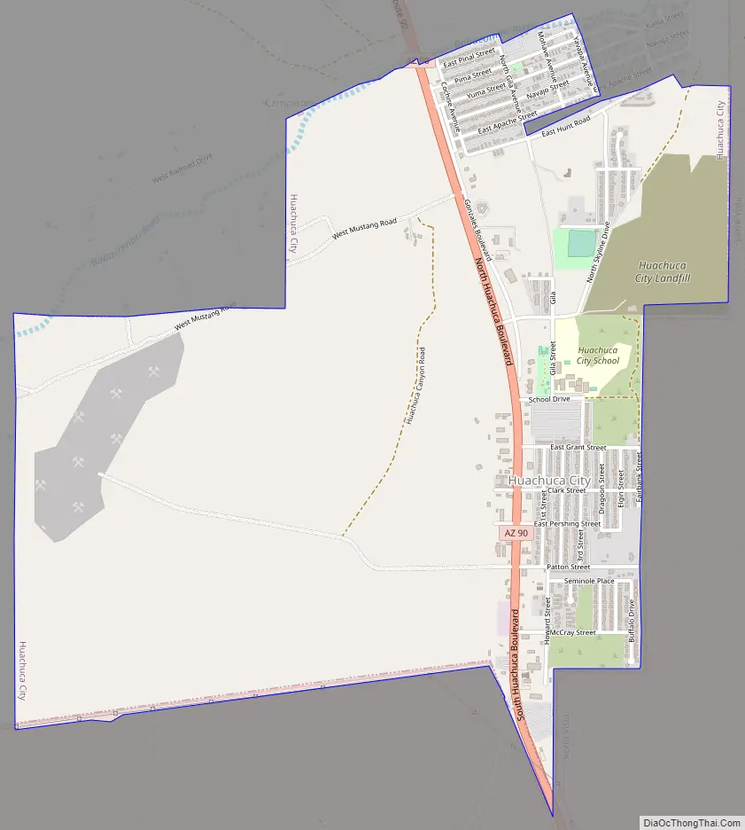
Huachuca City Road Map
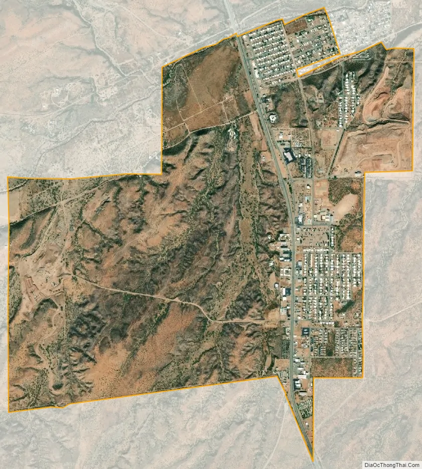
Huachuca City city Satellite Map
Geography
Huachuca City is located in southwestern Cochise County. The city of Sierra Vista and Fort Huachuca lie along the town’s southern border.
According to the United States Census Bureau, the town has a total area of 2.8 square miles (7.3 km), all land.
Climate
According to the Köppen Climate Classification system, Huachuca City has a semi-arid climate, abbreviated “BSk” on climate maps.
See also
Map of Arizona State and its subdivision: Map of other states:- Alabama
- Alaska
- Arizona
- Arkansas
- California
- Colorado
- Connecticut
- Delaware
- District of Columbia
- Florida
- Georgia
- Hawaii
- Idaho
- Illinois
- Indiana
- Iowa
- Kansas
- Kentucky
- Louisiana
- Maine
- Maryland
- Massachusetts
- Michigan
- Minnesota
- Mississippi
- Missouri
- Montana
- Nebraska
- Nevada
- New Hampshire
- New Jersey
- New Mexico
- New York
- North Carolina
- North Dakota
- Ohio
- Oklahoma
- Oregon
- Pennsylvania
- Rhode Island
- South Carolina
- South Dakota
- Tennessee
- Texas
- Utah
- Vermont
- Virginia
- Washington
- West Virginia
- Wisconsin
- Wyoming