Camp Verde (Yavapai: ʼMatthi:wa; Western Apache: Gambúdih) is a town in Yavapai County, Arizona, United States. As of the 2010 census, the population of the town is 10,873.
Every summer, the downtown area of Camp Verde is the site of the annual Corn Fest; held each year on the third Saturday in July, the popular event is sponsored and organized by local growers, Hauser and Hauser Farms. Other annual local events include the Pecan, Wine and Antiques Festival (February), the Crawdad Festival (June), and Fort Verde Days (October).
| Name: | Camp Verde town |
|---|---|
| LSAD Code: | 43 |
| LSAD Description: | town (suffix) |
| State: | Arizona |
| County: | Yavapai County |
| Elevation: | 3,147 ft (959 m) |
| Total Area: | 42.36 sq mi (109.70 km²) |
| Land Area: | 42.35 sq mi (109.68 km²) |
| Water Area: | 0.01 sq mi (0.03 km²) |
| Total Population: | 12,147 |
| Population Density: | 286.85/sq mi (110.75/km²) |
| ZIP code: | 86322 |
| Area code: | 928 |
| FIPS code: | 0409690 |
| GNISfeature ID: | 27213 |
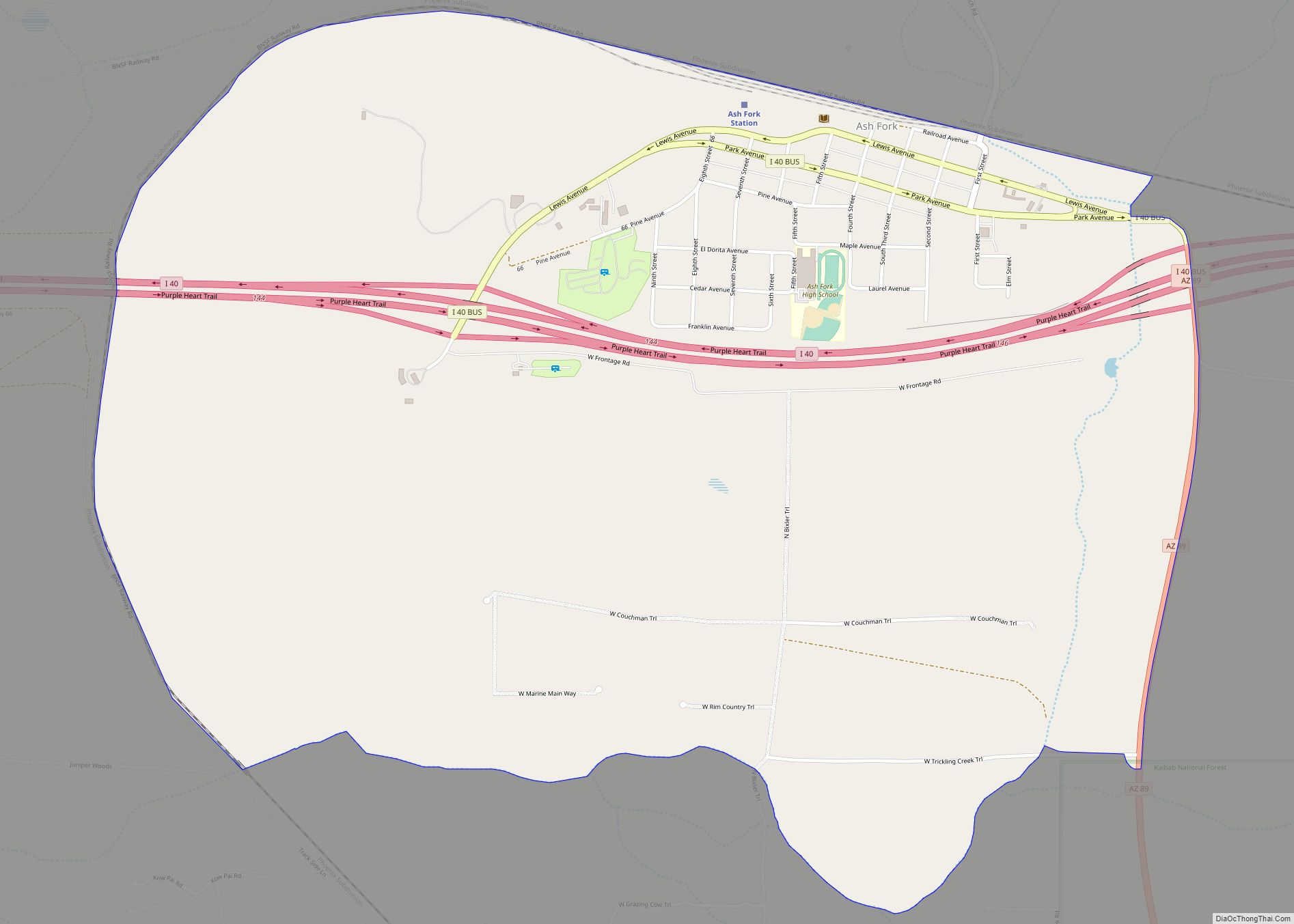
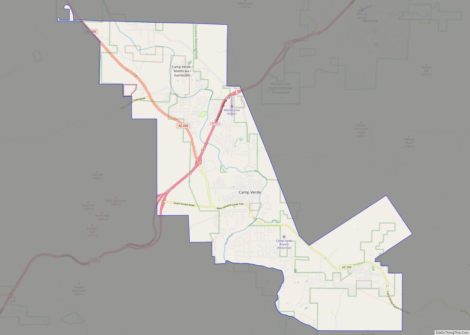
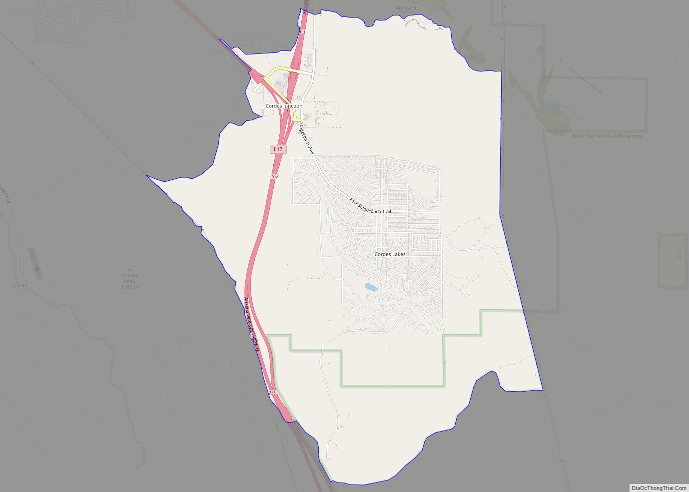
Online Interactive Map
Click on ![]() to view map in "full screen" mode.
to view map in "full screen" mode.
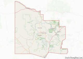
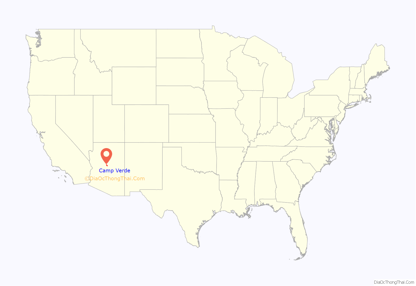
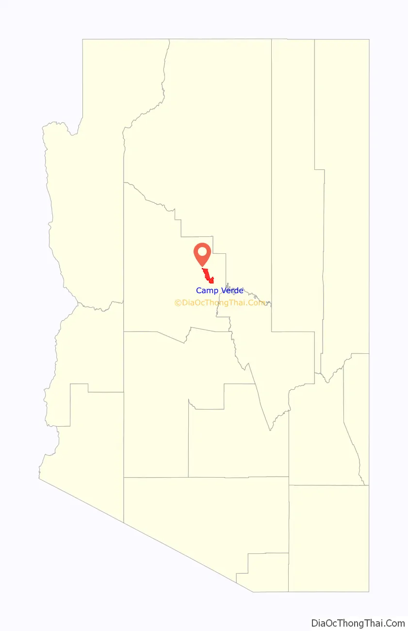
Camp Verde location map. Where is Camp Verde town?
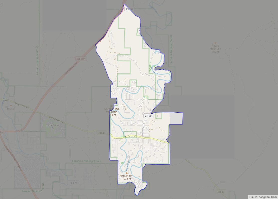
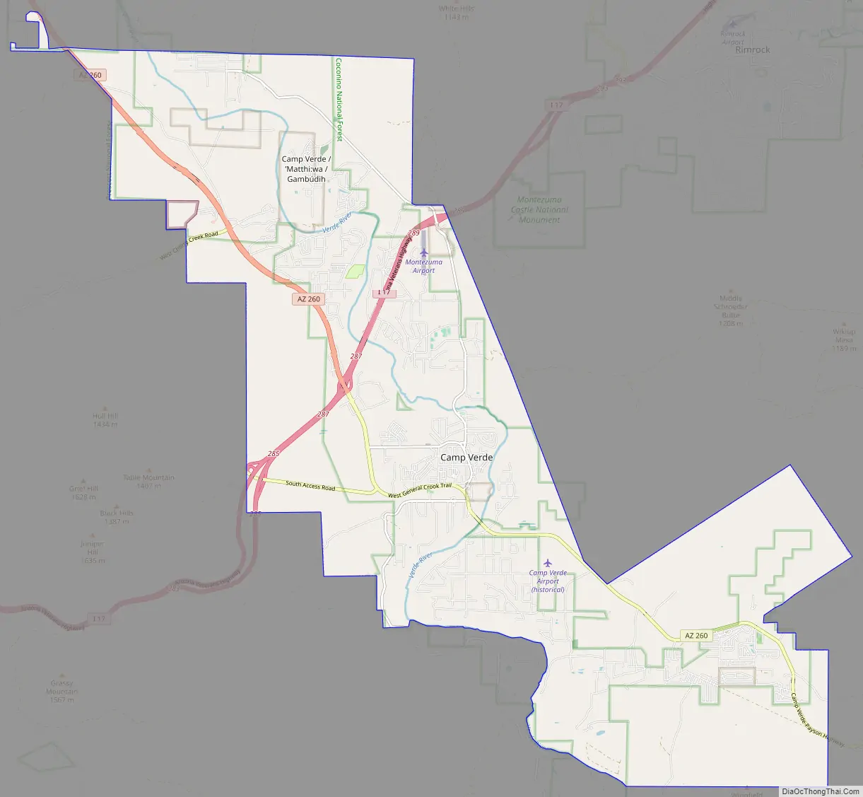
Camp Verde Road Map
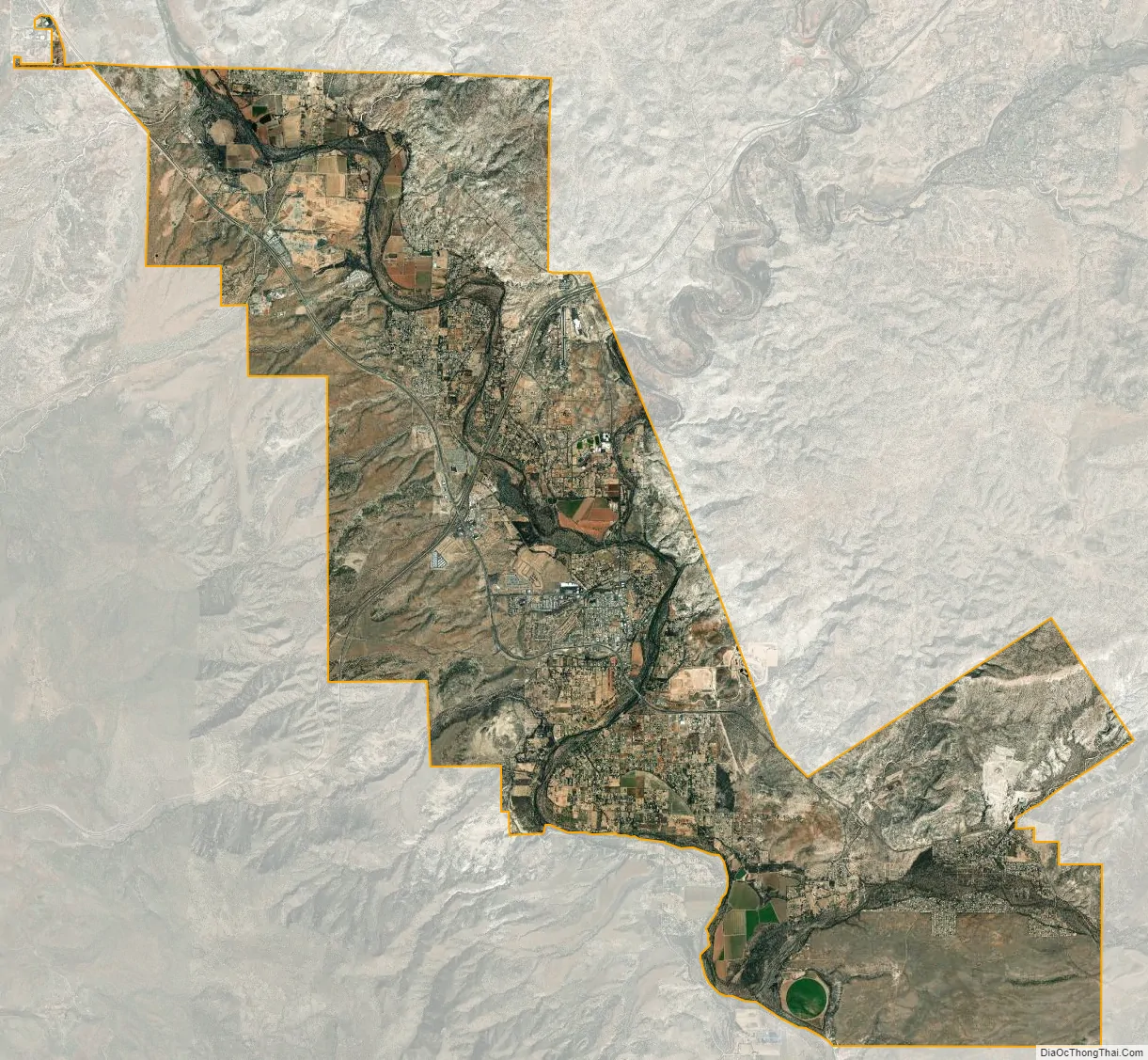
Camp Verde city Satellite Map
Geography
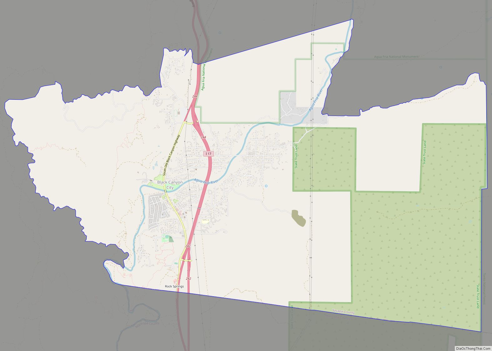
The 42.6 sq mi (110 km) town is bisected by I-17, extending 8 miles (13 km) to the west and 10 miles (16 km) to the east of the interstate. Highway 260 connects Camp Verde with Payson to the east and Cottonwood to the west. Three freeway exits provide local access: Exits 285, 287, and 289. The town’s historic downtown is approximately 1 mile (1.6 km) from I-17 and contains a grocery store, physician facilities, shopping, dining, historical museum, Fort Verde State Historic Park, chamber of commerce/visitor center and town offices. Camp Verde is located at 34°34′0″N 111°51′22″W / 34.56667°N 111.85611°W / 34.56667; -111.85611 (34.5667, -111.8562).
According to the United States Census Bureau, the town has a total area of 42.6 square miles (110 km), of which 42.6 square miles (110 km) is land and 0.02% is water. Camp Verde is in the Verde River valley. To the southwest lie the Black Hills mountain range. Camp Verde is surrounded by Prescott National Forest. The Mogollon Rim is just north of the town and forms the southwestern edge of the large, geologically ancient Colorado Plateau.
Climate
Camp Verde has a cold semi-arid climate (Köppen: BSk) with cool winters and very hot summers.
See also
Map of Arizona State and its subdivision: Map of other states:- Alabama
- Alaska
- Arizona
- Arkansas
- California
- Colorado
- Connecticut
- Delaware
- District of Columbia
- Florida
- Georgia
- Hawaii
- Idaho
- Illinois
- Indiana
- Iowa
- Kansas
- Kentucky
- Louisiana
- Maine
- Maryland
- Massachusetts
- Michigan
- Minnesota
- Mississippi
- Missouri
- Montana
- Nebraska
- Nevada
- New Hampshire
- New Jersey
- New Mexico
- New York
- North Carolina
- North Dakota
- Ohio
- Oklahoma
- Oregon
- Pennsylvania
- Rhode Island
- South Carolina
- South Dakota
- Tennessee
- Texas
- Utah
- Vermont
- Virginia
- Washington
- West Virginia
- Wisconsin
- Wyoming