Cave Creek is a town in Maricopa County, Arizona, United States. It is part of the Phoenix metropolitan area. As of the 2020 census, the population of the town was 4,892.
| Name: | Cave Creek town |
|---|---|
| LSAD Code: | 43 |
| LSAD Description: | town (suffix) |
| State: | Arizona |
| County: | Maricopa County |
| Elevation: | 2,553 ft (778 m) |
| Total Area: | 37.72 sq mi (97.68 km²) |
| Land Area: | 37.71 sq mi (97.66 km²) |
| Water Area: | 0.01 sq mi (0.02 km²) |
| Total Population: | 4,892 |
| Population Density: | 129.73/sq mi (50.09/km²) |
| ZIP code: | 85327, 85331 |
| Area code: | 480 |
| FIPS code: | 0411300 |
| GNISfeature ID: | 2413182 |
| Website: | www.cavecreekaz.gov |
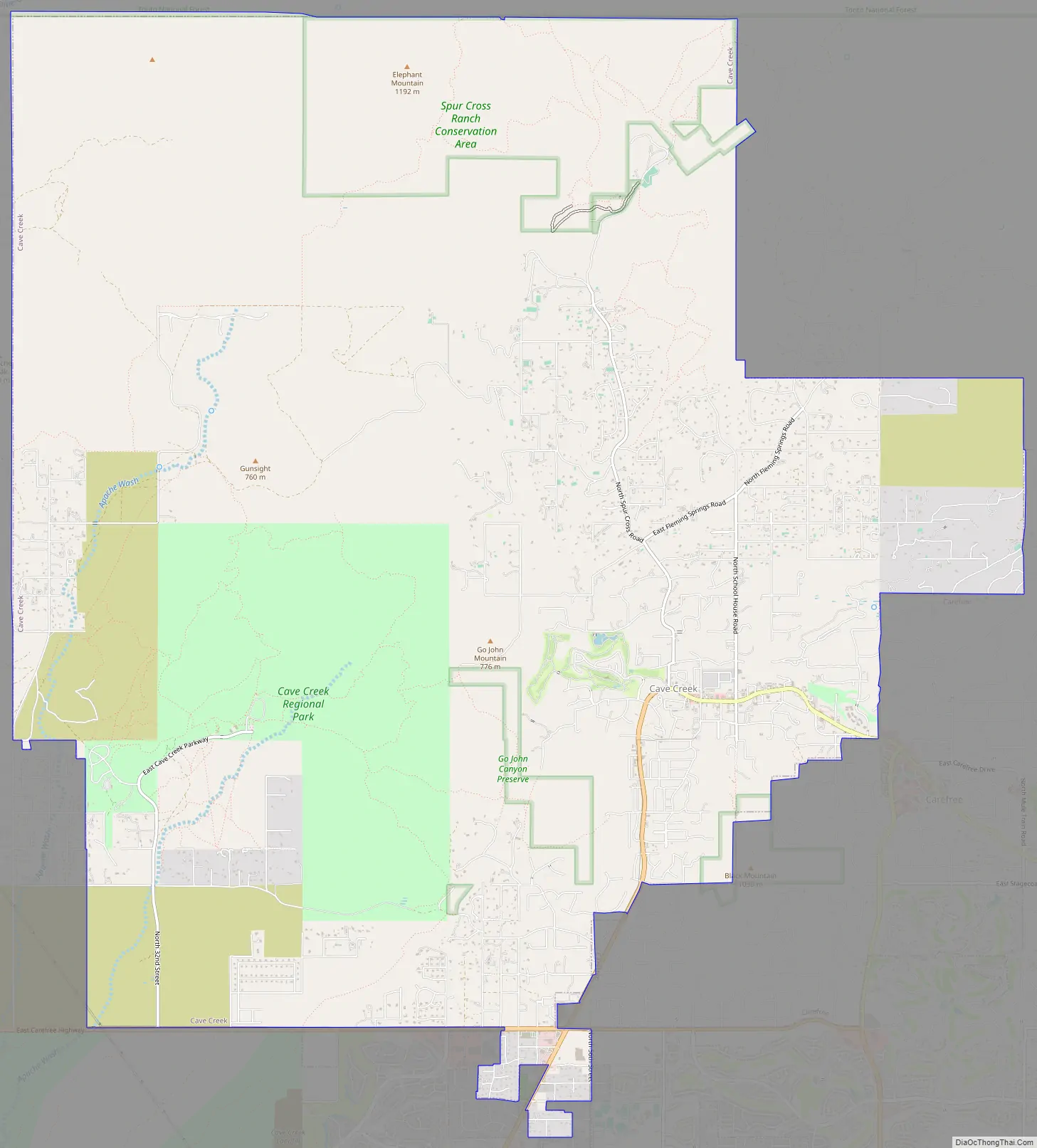
Online Interactive Map
Click on ![]() to view map in "full screen" mode.
to view map in "full screen" mode.
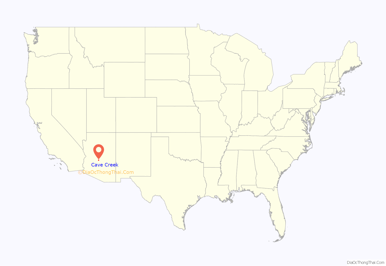
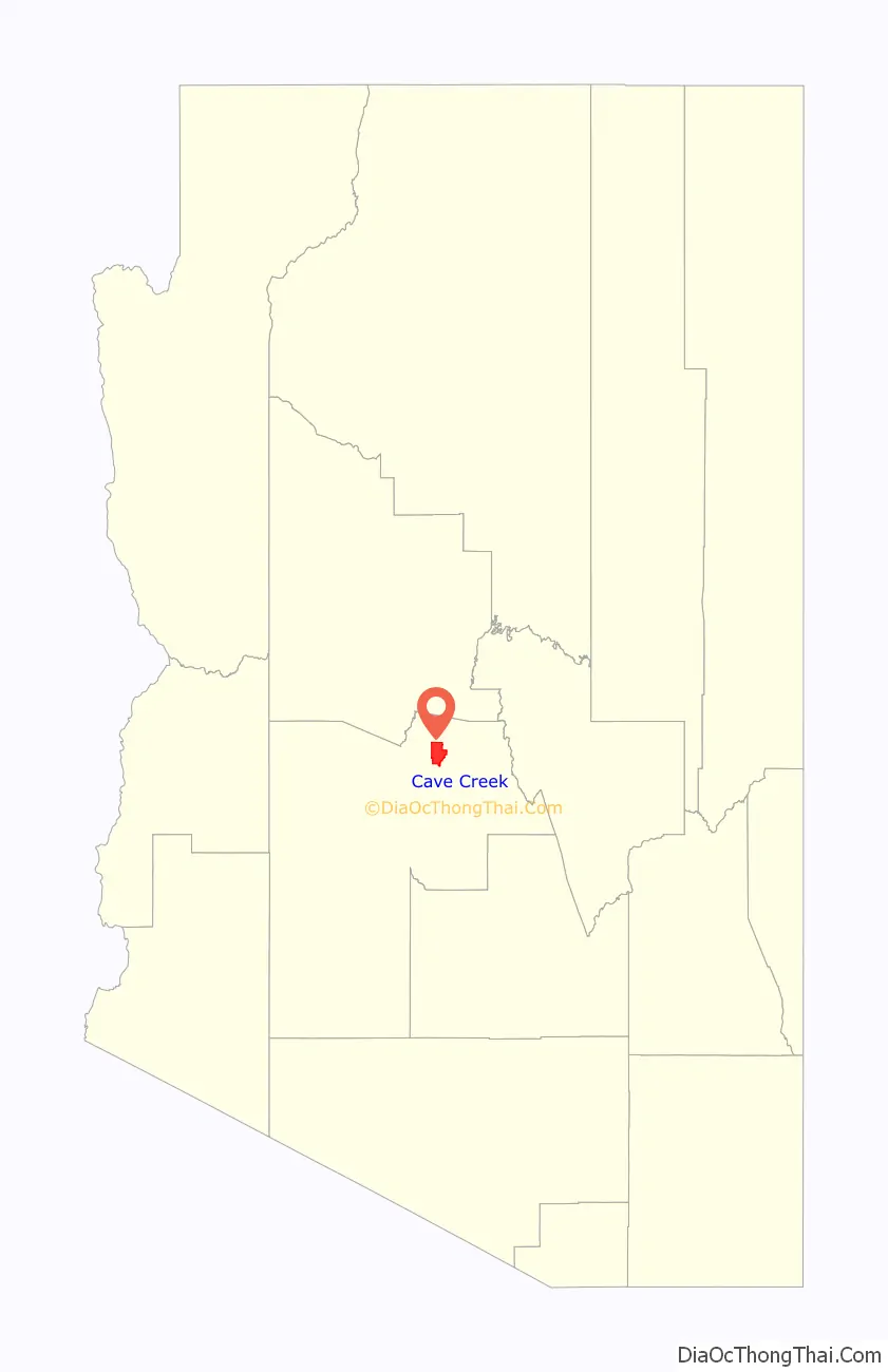
Cave Creek location map. Where is Cave Creek town?
History
Cave Creek was settled in 1870 by soldiers on horseback from Fort McDowell. In 1873, prospectors from the Bradshaw Mountains found gold in the town. The town is named for the cave next to the creek the town was founded on.
Cave Creek Road Map
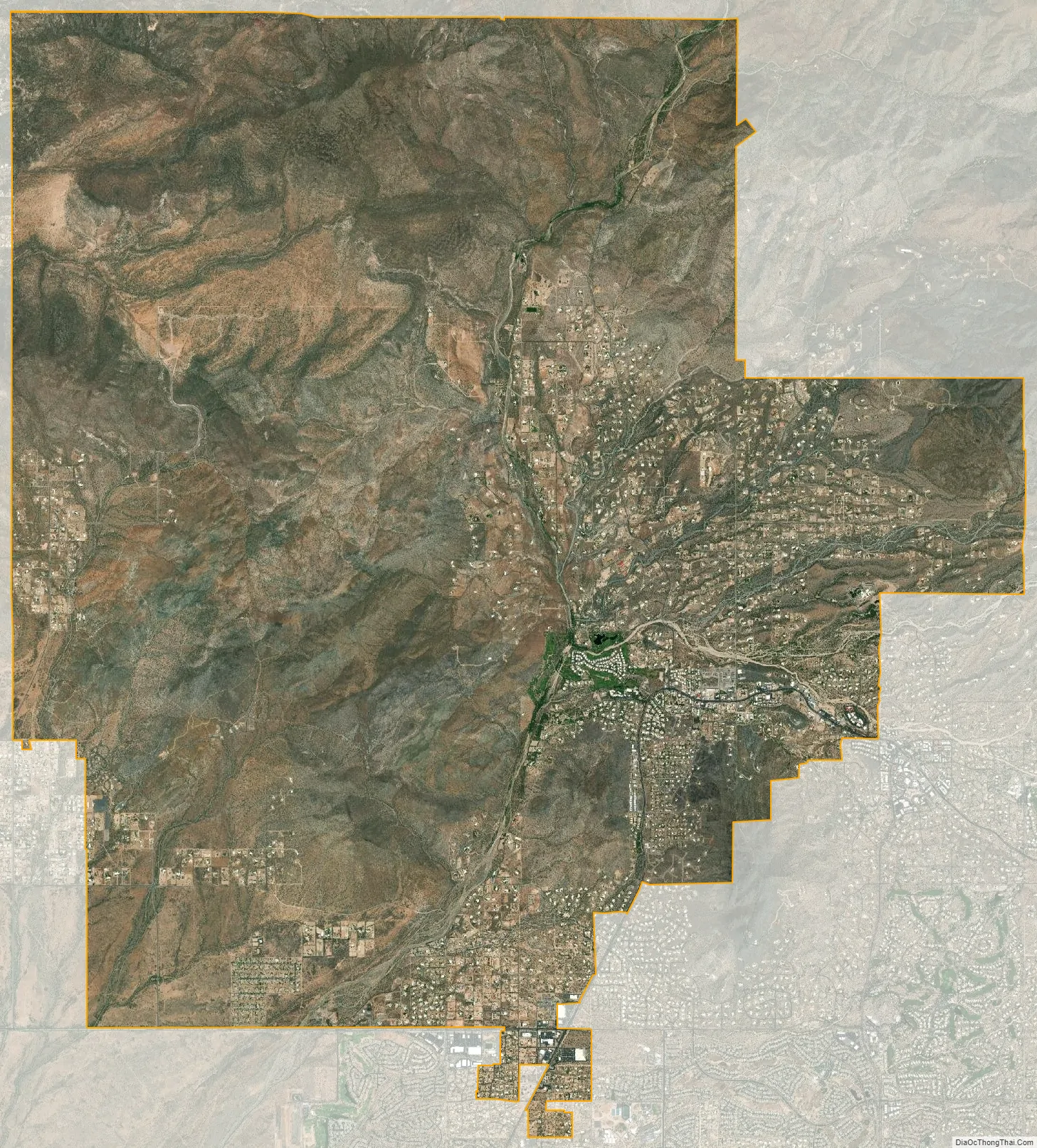
Cave Creek city Satellite Map
Geography
Cave Creek is a town in the Sonoran Desert. It sits in northern Maricopa County on the northern edge of Paradise Valley, with mountains rising to the north that eventually connect with the New River Mountains and the Black Hills. It is 33 miles (53 km) north of downtown Phoenix, although the Phoenix city limits extend north to Cave Creek’s southern border. The town is bordered to the east by the town of Carefree, to the west by unincorporated New River, and to the north by Tonto National Forest. Elephant Mountain rises to an elevation of 3,926 feet (1,197 m) in the northernmost part of the town. Local landmark Black Mountain, elevation 3,398 feet (1,036 m), is in the southern part of town on the border with Carefree.
According to the United States Census Bureau, the town of Cave Creek has a total area of 37.7 square miles (98 km), of which 0.008 square miles (0.021 km), or 0.02%, are listed as water. Cave Creek flows through the western side of the town southward into Phoenix, where it disappears into the Salt River valley.
In 2000, the state of Arizona, Maricopa County, and the town of Cave Creek bought Spur Cross Ranch, a 2,154-acre (8.72 km) tract of Sonoran desert just north of Phoenix, for $21 million. It had unusual cacti, stone formations, and hundreds of pre-historic Hohokam Indian tribal artifacts, and is now a Maricopa County park.
Climate
Cave Creek is located in a semi-arid climate, receiving more rainfall than a desert climate. Cave Creek is at a higher elevation, and therefore is cooler than the lower elevations of the Phoenix area. The hot season lasts for 3.5 months, from May 31 to September 19, with an average daily high temperature at or above 93 °F (34 °C). The hottest month of the year is July, with an average high of 102 °F (39 °C) and low of 74 °F (23 °C).
The cool season lasts for 3.4 months, from November 20 to March 1, with an average daily high temperature below 69 °F (21 °C). The coldest month of the year is January, with an average low of 37 °F (3 °C) and high of 65 °F (18 °C).
In July-September, the North American monsoon season brings rain and thunderstorms to the Cave Creek area. The wettest month of the year is August, with an average of 6 days of rain, and averaging 1.77 inches (45 mm).
See also
Map of Arizona State and its subdivision: Map of other states:- Alabama
- Alaska
- Arizona
- Arkansas
- California
- Colorado
- Connecticut
- Delaware
- District of Columbia
- Florida
- Georgia
- Hawaii
- Idaho
- Illinois
- Indiana
- Iowa
- Kansas
- Kentucky
- Louisiana
- Maine
- Maryland
- Massachusetts
- Michigan
- Minnesota
- Mississippi
- Missouri
- Montana
- Nebraska
- Nevada
- New Hampshire
- New Jersey
- New Mexico
- New York
- North Carolina
- North Dakota
- Ohio
- Oklahoma
- Oregon
- Pennsylvania
- Rhode Island
- South Carolina
- South Dakota
- Tennessee
- Texas
- Utah
- Vermont
- Virginia
- Washington
- West Virginia
- Wisconsin
- Wyoming


