Clacks Canyon is a census-designated place (CDP) in Mohave County, Arizona, United States. The population was 167 at the 2020 census.
| Name: | Clacks Canyon CDP |
|---|---|
| LSAD Code: | 57 |
| LSAD Description: | CDP (suffix) |
| State: | Arizona |
| County: | Mohave County |
| Elevation: | 3,740 ft (1,140 m) |
| Total Area: | 3.32 sq mi (8.60 km²) |
| Land Area: | 3.32 sq mi (8.60 km²) |
| Water Area: | 0.00 sq mi (0.00 km²) |
| Total Population: | 167 |
| Population Density: | 50.27/sq mi (19.41/km²) |
| Area code: | 928 |
| FIPS code: | 0413850 |
| GNISfeature ID: | 2582758 |
Online Interactive Map
Click on ![]() to view map in "full screen" mode.
to view map in "full screen" mode.
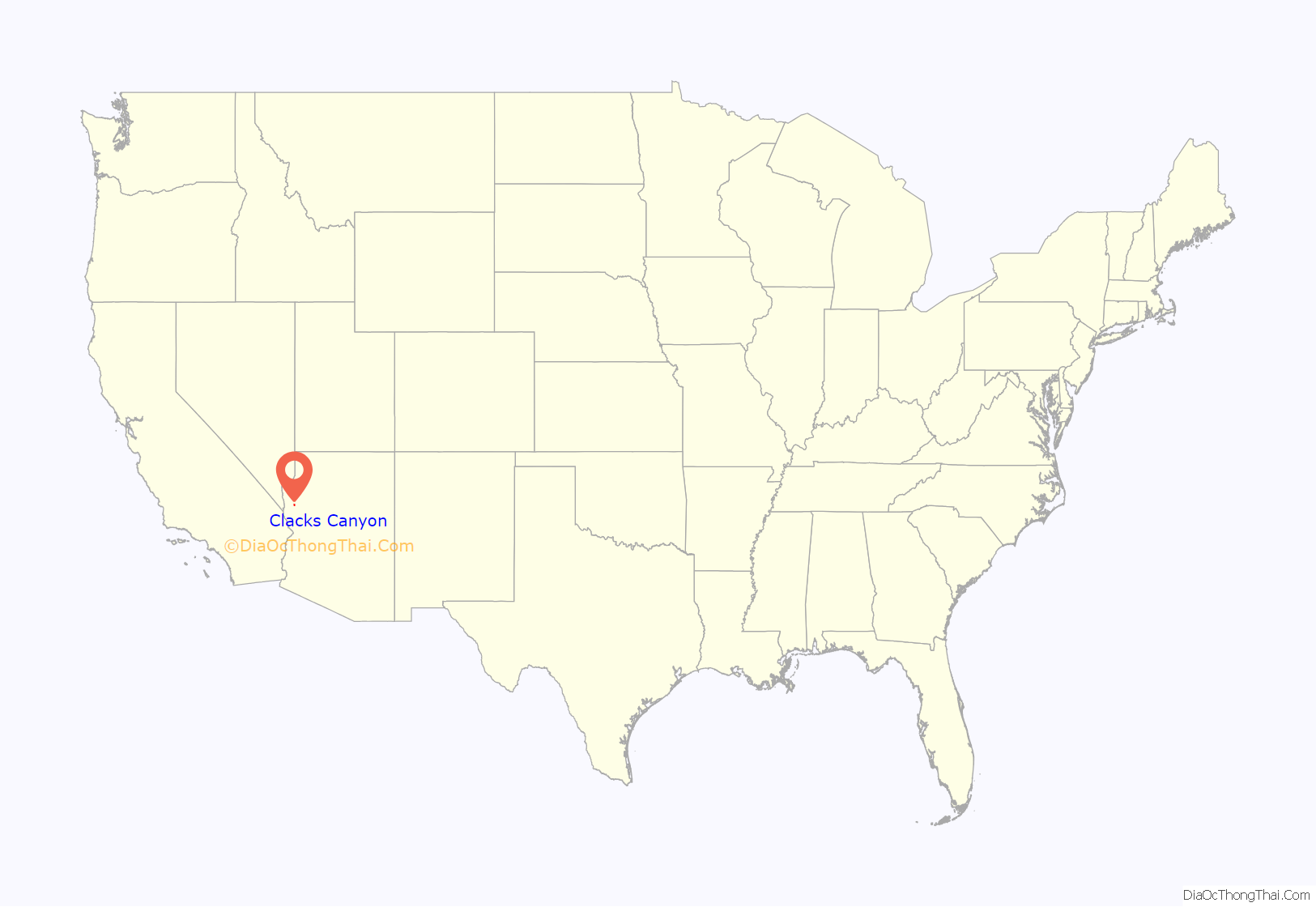
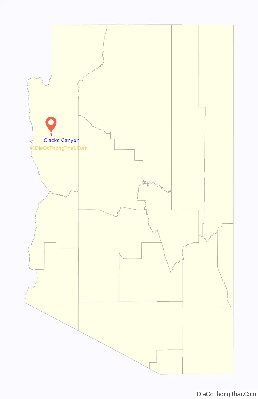
Clacks Canyon location map. Where is Clacks Canyon CDP?
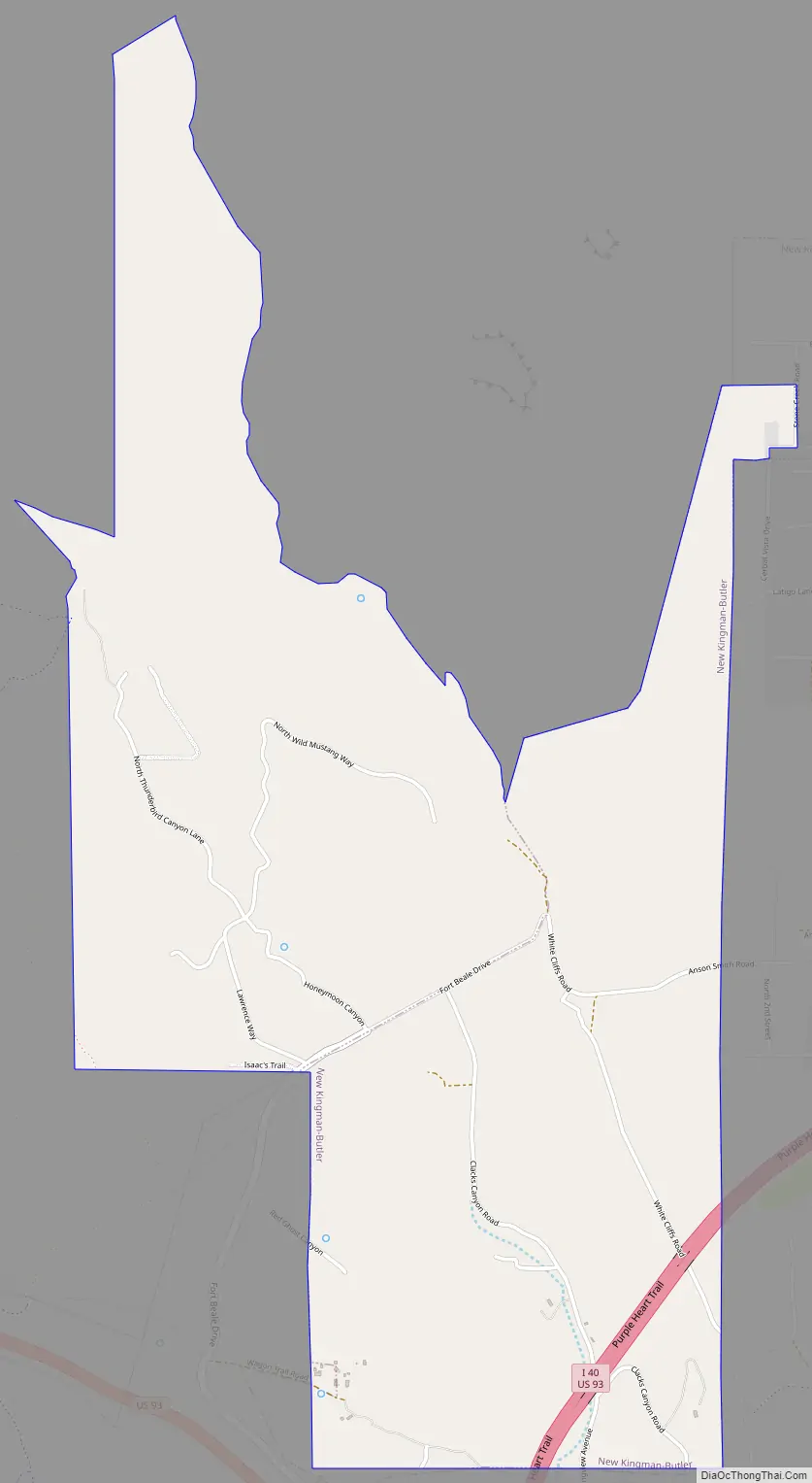
Clacks Canyon Road Map
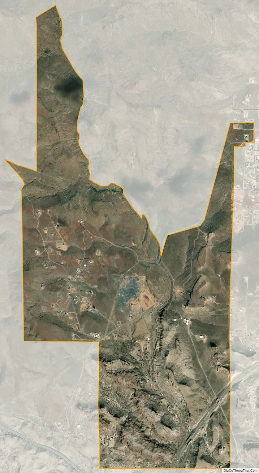
Clacks Canyon city Satellite Map
Geography
Clacks Canyon is located in central Mohave County at 35°13′13″N 114°04′20″W / 35.22028°N 114.07222°W / 35.22028; -114.07222 (35.220360, −114.072301). It is bordered to the south and east by Kingman, the county seat. The community is named for the valley that runs through it, leading south into Kingman, with the outflow continuing southwest to the Sacramento Valley.
According to the United States Geological Survey, the CDP has a total area of 3.32 square miles (8.6 km), all land. Interstate 40 crosses the southeast corner of the CDP, with the closest access from Exit 48 (U.S. Route 93) 0.6 miles (1.0 km) to the south.
See also
Map of Arizona State and its subdivision: Map of other states:- Alabama
- Alaska
- Arizona
- Arkansas
- California
- Colorado
- Connecticut
- Delaware
- District of Columbia
- Florida
- Georgia
- Hawaii
- Idaho
- Illinois
- Indiana
- Iowa
- Kansas
- Kentucky
- Louisiana
- Maine
- Maryland
- Massachusetts
- Michigan
- Minnesota
- Mississippi
- Missouri
- Montana
- Nebraska
- Nevada
- New Hampshire
- New Jersey
- New Mexico
- New York
- North Carolina
- North Dakota
- Ohio
- Oklahoma
- Oregon
- Pennsylvania
- Rhode Island
- South Carolina
- South Dakota
- Tennessee
- Texas
- Utah
- Vermont
- Virginia
- Washington
- West Virginia
- Wisconsin
- Wyoming


