Desert Hills is an unincorporated community and census-designated place (CDP) in Mohave County, Arizona, United States. The population was 2,764 at the 2020 census, up from 2,245 at the 2010 census.
| Name: | Desert Hills CDP |
|---|---|
| LSAD Code: | 57 |
| LSAD Description: | CDP (suffix) |
| State: | Arizona |
| County: | Mohave County |
| Elevation: | 542 ft (165 m) |
| Total Area: | 4.90 sq mi (12.68 km²) |
| Land Area: | 4.31 sq mi (11.15 km²) |
| Water Area: | 0.59 sq mi (1.53 km²) |
| Total Population: | 2,764 |
| Population Density: | 641.90/sq mi (247.84/km²) |
| ZIP code: | 86404 |
| Area code: | 928 |
| FIPS code: | 0418740 |
| GNISfeature ID: | 1866982 |
Online Interactive Map
Click on ![]() to view map in "full screen" mode.
to view map in "full screen" mode.
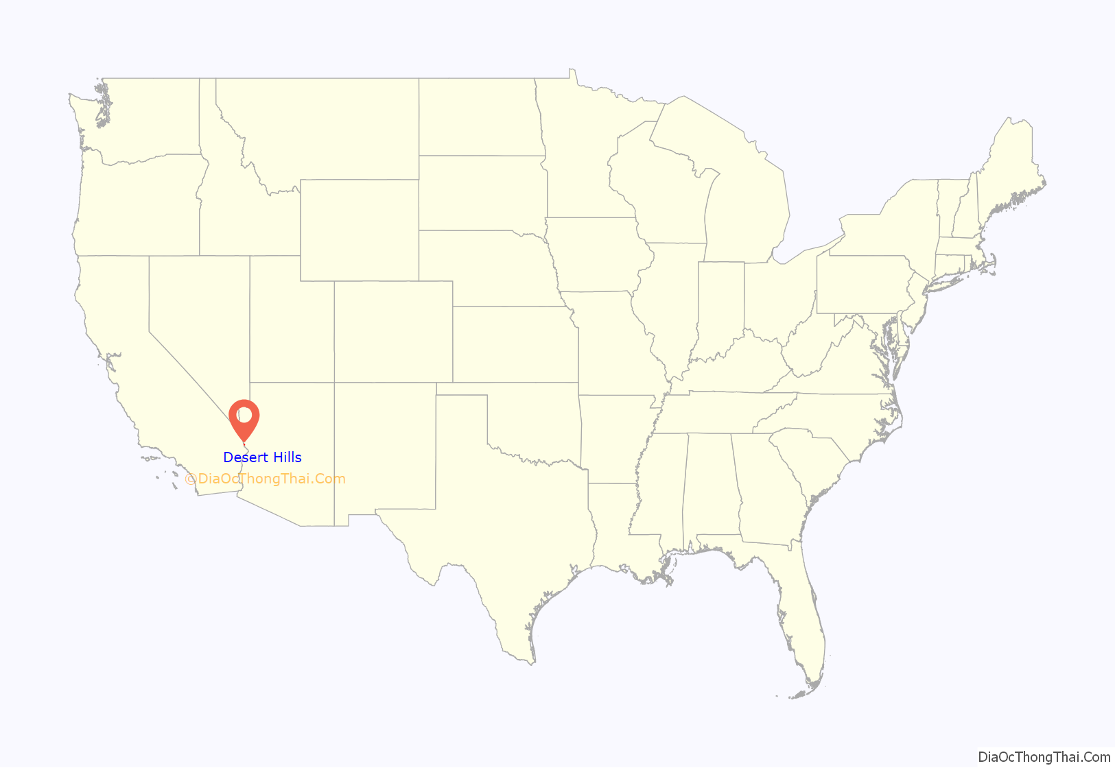
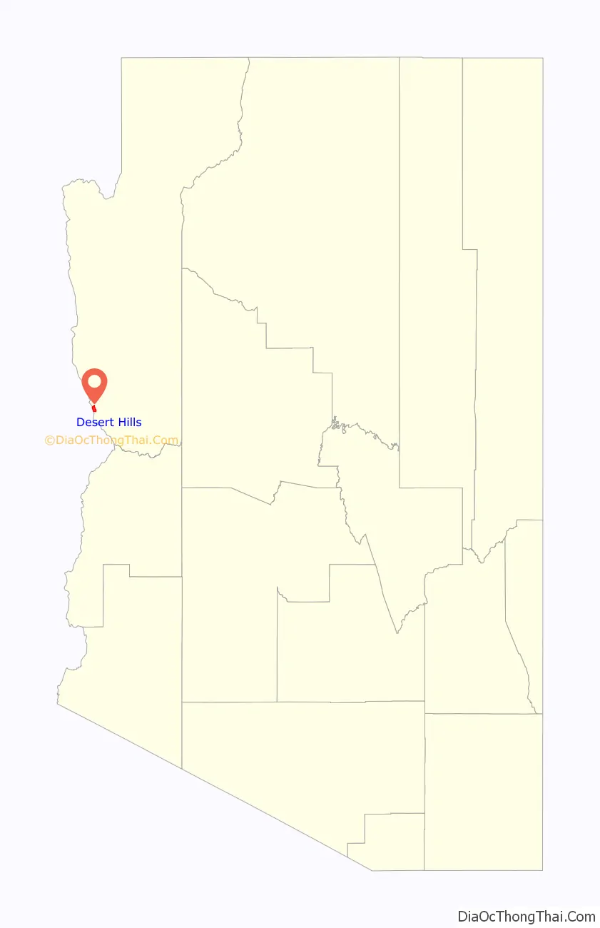
Desert Hills location map. Where is Desert Hills CDP?
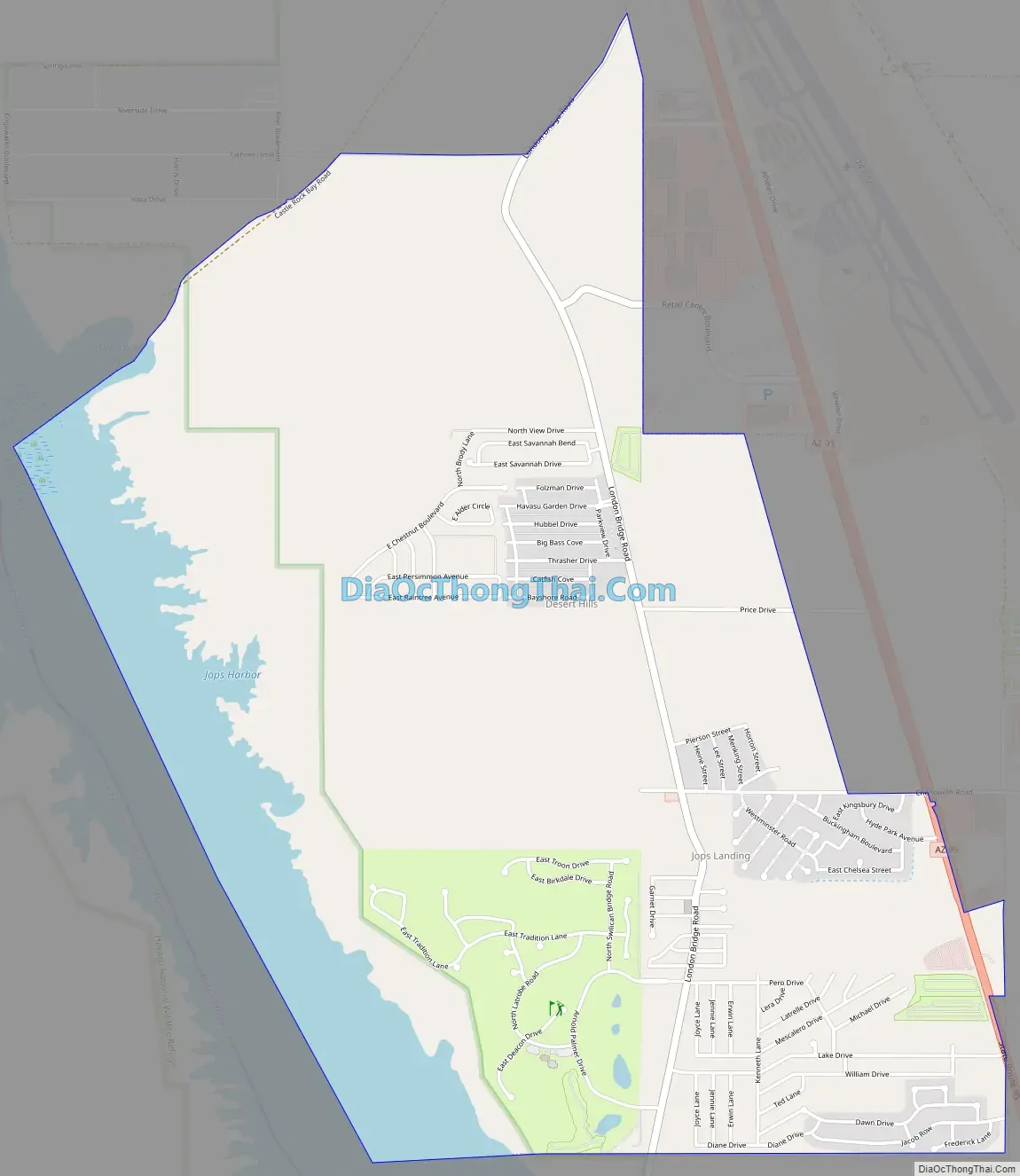
Desert Hills Road Map
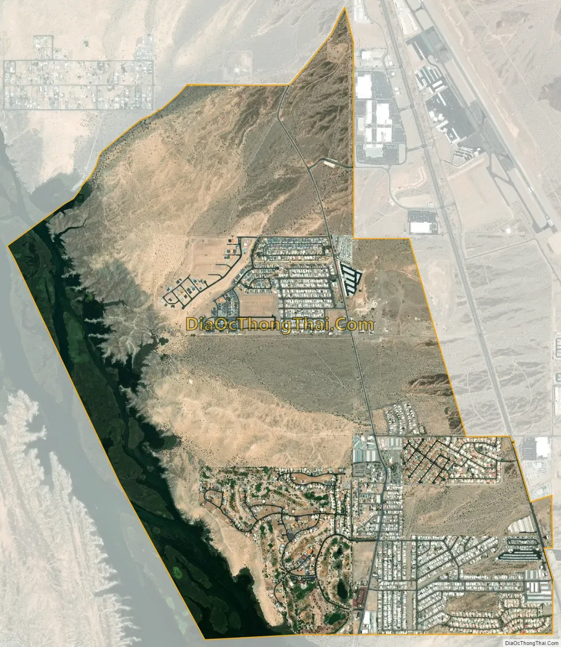
Desert Hills city Satellite Map
Geography
Desert Hills is located in western Mohave County at 34°32′51″N 114°22′0″W / 34.54750°N 114.36667°W / 34.54750; -114.36667 (34.547363, -114.366781). It is sits on the east side of the Colorado River, impounded as Lake Havasu. The CDP is bordered to the south and east by Lake Havasu City, to the north by Crystal Beach, and to the west, across the Colorado, by San Bernardino County, California. Arizona State Route 95 runs along the eastern edge of the CDP, leading south 4 miles (6 km) to the center of Lake Havasu City and north 18 miles (29 km) to Interstate 40.
According to the United States Census Bureau, the Desert Hills CDP has a total area of 4.9 square miles (13 km), of which 4.3 square miles (11 km) are land and 0.6 square miles (1.6 km), or 12.07%, are on the waters of Lake Havasu.
See also
Map of Arizona State and its subdivision: Map of other states:- Alabama
- Alaska
- Arizona
- Arkansas
- California
- Colorado
- Connecticut
- Delaware
- District of Columbia
- Florida
- Georgia
- Hawaii
- Idaho
- Illinois
- Indiana
- Iowa
- Kansas
- Kentucky
- Louisiana
- Maine
- Maryland
- Massachusetts
- Michigan
- Minnesota
- Mississippi
- Missouri
- Montana
- Nebraska
- Nevada
- New Hampshire
- New Jersey
- New Mexico
- New York
- North Carolina
- North Dakota
- Ohio
- Oklahoma
- Oregon
- Pennsylvania
- Rhode Island
- South Carolina
- South Dakota
- Tennessee
- Texas
- Utah
- Vermont
- Virginia
- Washington
- West Virginia
- Wisconsin
- Wyoming


