Duncan is a town in Greenlee County, Arizona, United States. As of the 2010 census, the population of the town was 696. In 2018 the estimated population was 789.
Duncan is in the Gila River valley, four miles (6 km) west of the Arizona–New Mexico border. The town limits are on both sides of the Gila, but the primary portion of the town and the entire downtown area lie on the south side of the river. Duncan was founded in the mid 19th century, and the land was added to the United States as a part of the Mexican Cession. The town of Duncan has been destroyed twice by flood and once by fire.
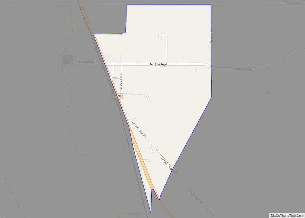
The town and area are primarily populated by ranchers and miners (especially from the Freeport-McMoran copper mines in southeastern Arizona and southwestern New Mexico). Surrounding smaller towns such as Franklin and York in Arizona and Virden, New Mexico, use Duncan public works and public schools. The Duncan area along the Gila River is renowned for Native American artifacts such as arrow heads, pottery, burial sites, cave paintings and other remnants of the Anasazi and other pre-historic cultures, as well as artifacts from garrison camps of the expedition of Francisco Vázquez de Coronado.
Duncan High School (mascot: Wildkats; school colors: red, grey, and white) competes in many sports, but is renowned for their football team.
U.S. Supreme Court Justice Sandra Day O’Connor was born in El Paso, Texas, but grew up near Duncan on the Lazy B ranch, which straddles the border between Arizona and New Mexico. The Day family ran the ranch for many years until selling it; it continues to be run as a ranch. O’Connor later wrote a book titled Lazy B: Growing up on a Cattle Ranch in the American Southwest about her childhood experiences on the ranch with her brother H. Alan Day.
| Name: | Duncan town |
|---|---|
| LSAD Code: | 43 |
| LSAD Description: | town (suffix) |
| State: | Arizona |
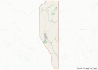
| County: | Greenlee County |
| Incorporated: | 1938 |
| Elevation: | 3,655 ft (1,114 m) |
| Total Area: | 2.15 sq mi (5.57 km²) |
| Land Area: | 2.15 sq mi (5.57 km²) |
| Water Area: | 0.00 sq mi (0.00 km²) |
| Total Population: | 694 |
| Population Density: | 322.49/sq mi (124.52/km²) |
| ZIP code: | 85534 |
| Area code: | 928 |
| FIPS code: | 0420750 |
| GNISfeature ID: | 0004189 |
| Website: | duncanaz.us |
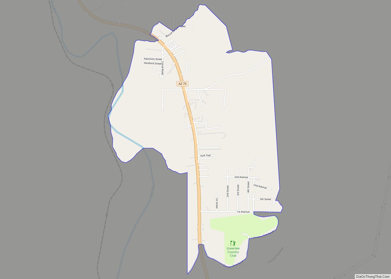
Online Interactive Map
Click on ![]() to view map in "full screen" mode.
to view map in "full screen" mode.
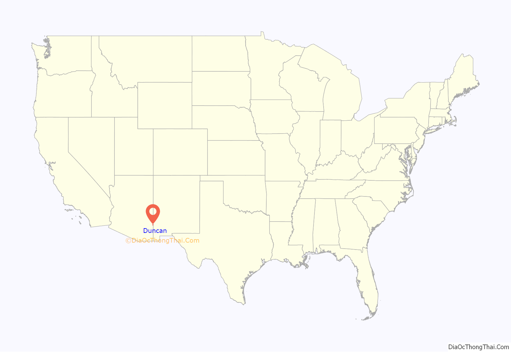
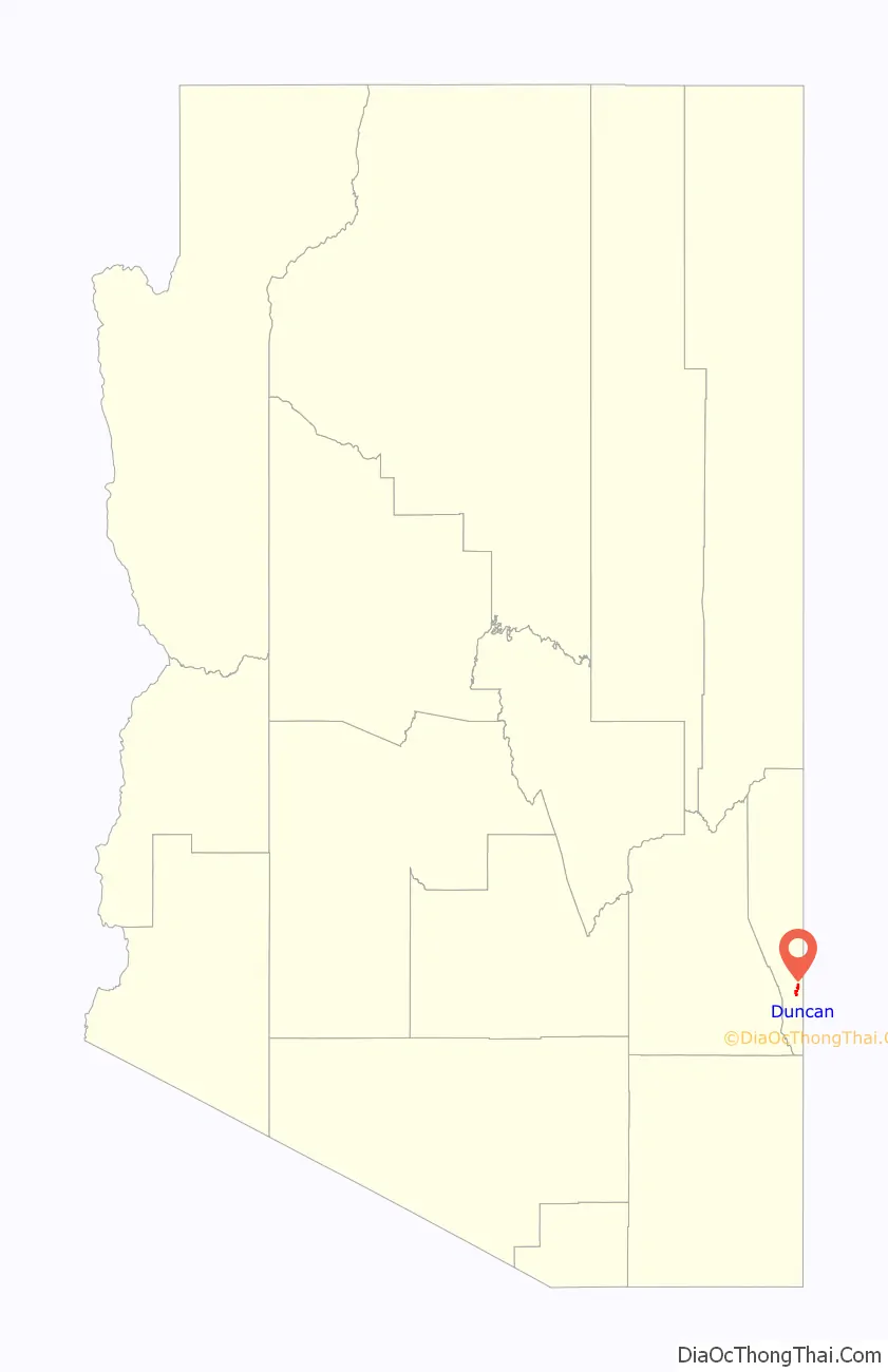
Duncan location map. Where is Duncan town?
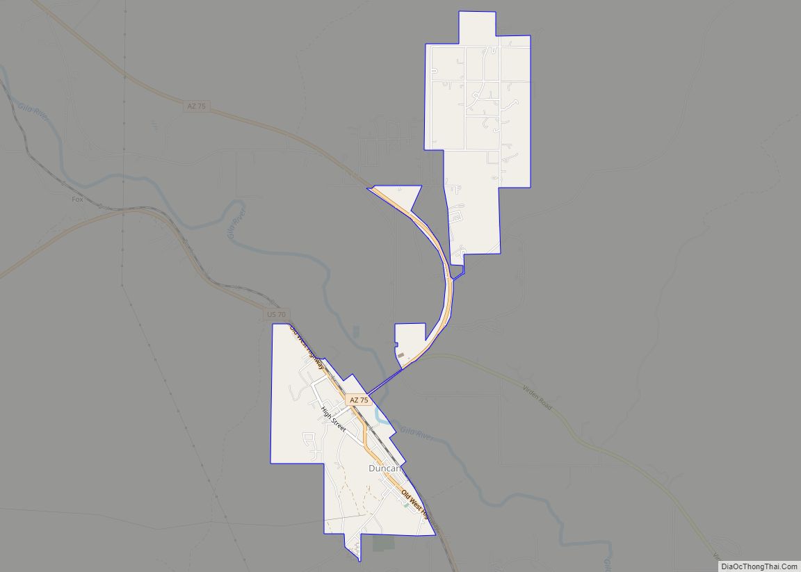
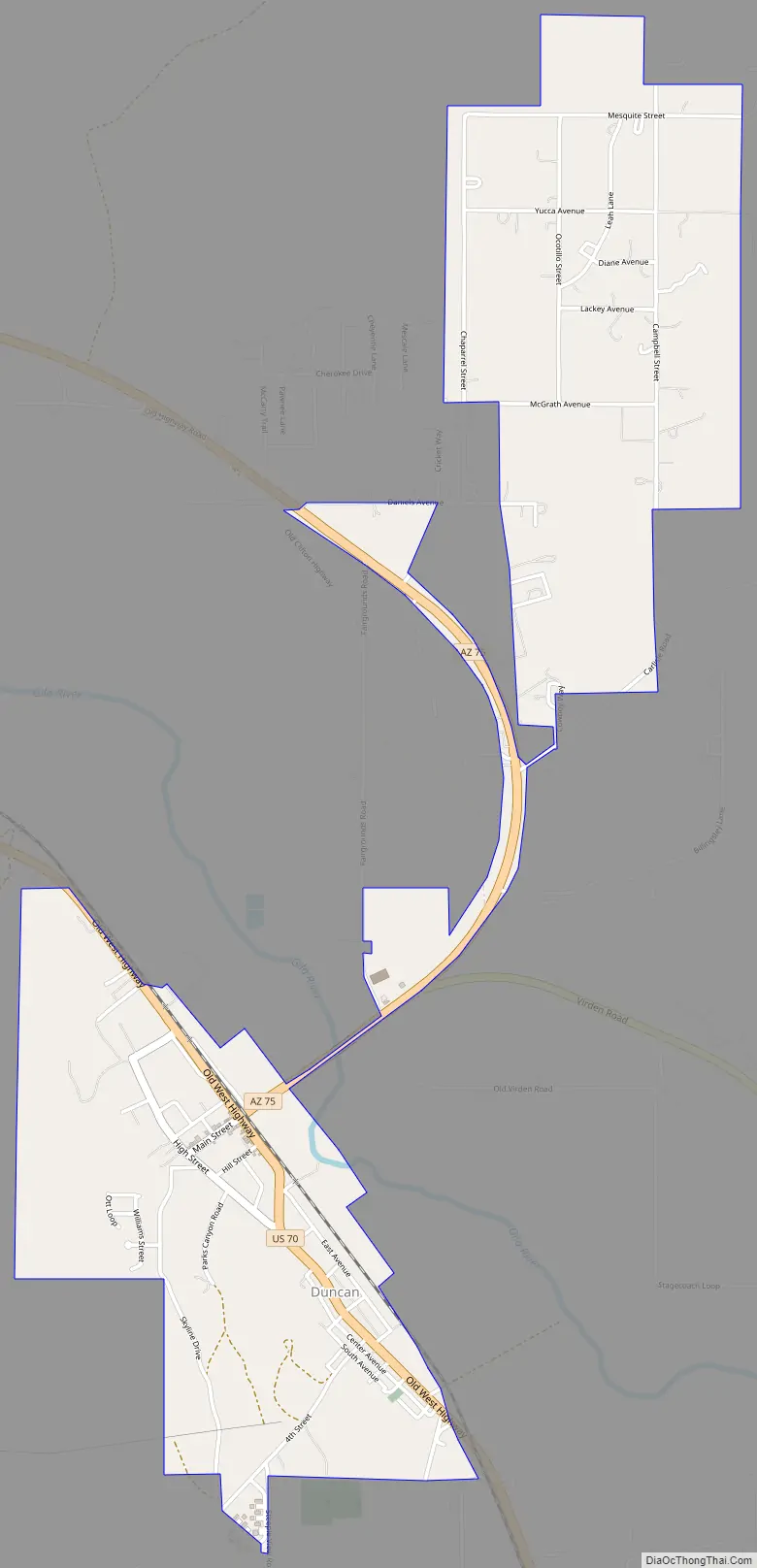
Duncan Road Map
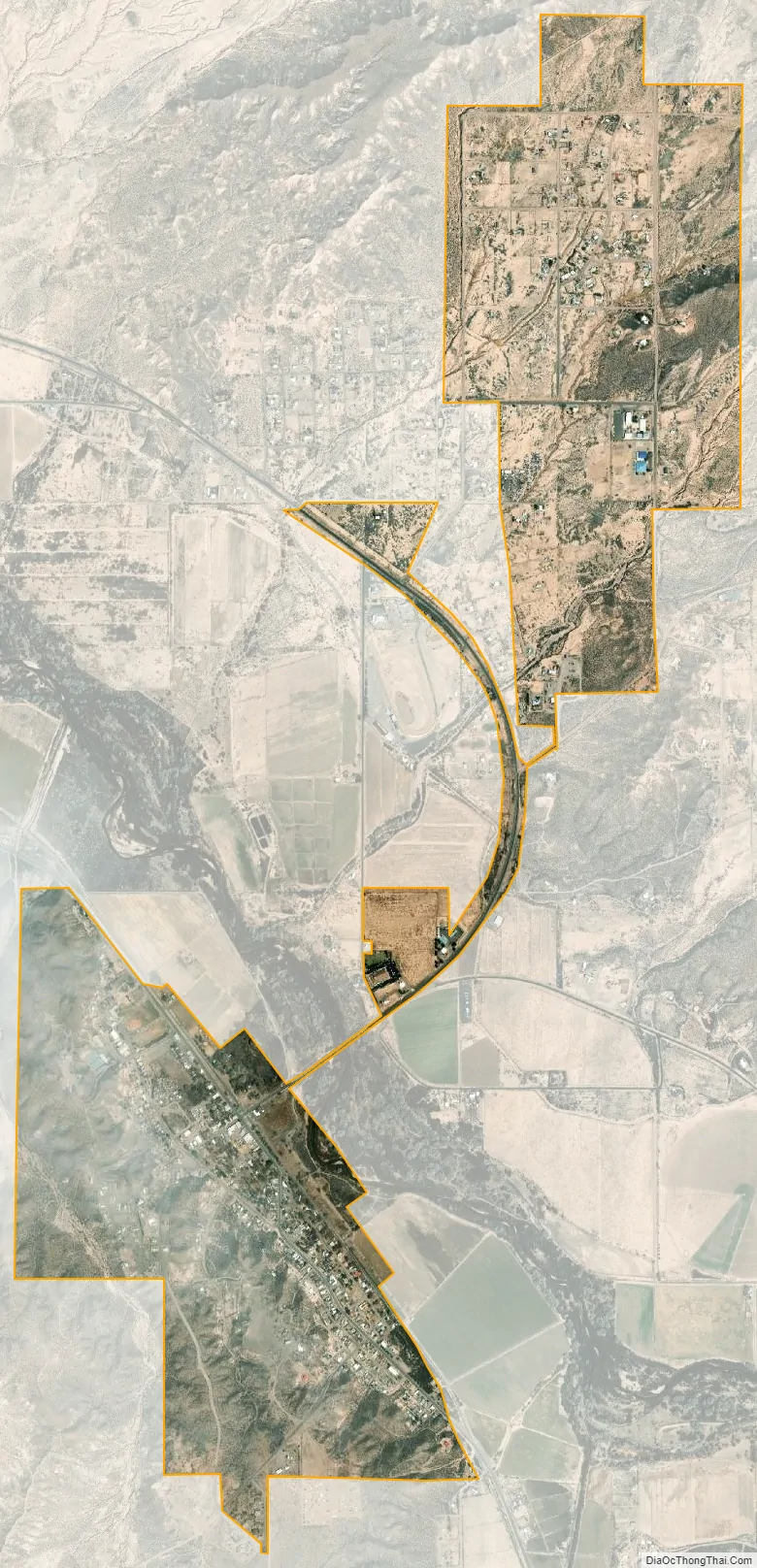
Duncan city Satellite Map
Geography
Duncan is located in southern Greenlee County at 32°43′33″N 109°5′52″W / 32.72583°N 109.09778°W / 32.72583; -109.09778 (32.725828, -109.097686). U.S. Route 70 passes through downtown, leading west 39 miles (63 km) to Safford, Arizona, and southeast 35 miles (56 km) to Lordsburg, New Mexico, and Interstate 10. Arizona State Route 75 leads north from Duncan 28 miles (45 km) to Clifton.
According to the United States Census Bureau, the town of Duncan has a total area of 2.2 square miles (5.6 km), all of it land.
Climate
Duncan has a semi-arid climate (Köppen climate classification BSk) with huge diurnal temperature ranges year-round except during periods of thundery monsoon weather. In April the average diurnal range is as high as 43.7 °F (24.3 °C) and it is only less than 36 °F (20 °C) in the often stormy months of July and August when over a third of the year’s total rainfall can be expected.
During a typical year 131.6 nights will fall below 32 °F (0 °C), but only 7.8 days fail to top 50 °F (10 °C), and there are only seven occurrences of nights falling to 0 °F (−17.8 °C) or lower, notably on December 24, 1953, and January 11, 1962, when the record low of −2 °F (−18.9 °C) was set.
Rainfall is generally scanty outside of the monsoon season, with substantial falls from winter storms being very rare, although December 1991 did see 4.76 inches or 120.9 millimetres of rain. The wettest month since continuous records began in 1942 has been August 2014 with 6.17 inches or 156.7 millimetres, whilst the wettest calendar year has been 1983 with 18.88 inches or 479.6 millimetres and the driest 1956 with 3.49 inches or 88.6 millimetres. Snowfall is most unusual, with the median being zero and the mean only 0.5 inches (0.013 m). The most snowfall ever in Duncan was 15.0 inches or 0.38 metres during the record Western cold wave of January 1949.
See also
Map of Arizona State and its subdivision: Map of other states:- Alabama
- Alaska
- Arizona
- Arkansas
- California
- Colorado
- Connecticut
- Delaware
- District of Columbia
- Florida
- Georgia
- Hawaii
- Idaho
- Illinois
- Indiana
- Iowa
- Kansas
- Kentucky
- Louisiana
- Maine
- Maryland
- Massachusetts
- Michigan
- Minnesota
- Mississippi
- Missouri
- Montana
- Nebraska
- Nevada
- New Hampshire
- New Jersey
- New Mexico
- New York
- North Carolina
- North Dakota
- Ohio
- Oklahoma
- Oregon
- Pennsylvania
- Rhode Island
- South Carolina
- South Dakota
- Tennessee
- Texas
- Utah
- Vermont
- Virginia
- Washington
- West Virginia
- Wisconsin
- Wyoming