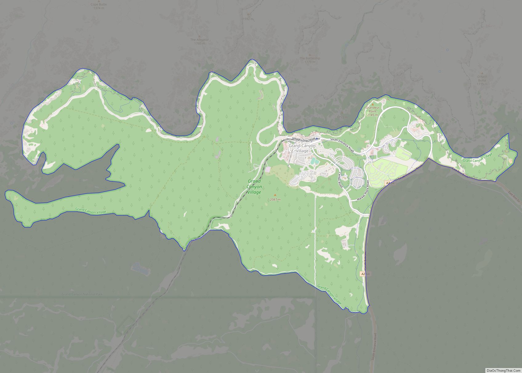
Grand Canyon Village is a census-designated place (CDP) located on the South Rim of the Grand Canyon, in Coconino County, Arizona, United States. Its population was 2,004 at the 2010 Census. Located in Grand Canyon National Park, it is wholly focused on accommodating tourists visiting the canyon. Its origins trace back to the railroad completed from Williams, to the canyon’s South Rim by the Santa Fe Railroad in 1901. Many of the structures in use today date from that period. The village contains numerous landmark buildings, and its historic core is a National Historic Landmark District, designated for its outstanding implementation of town design.
| Name: | Grand Canyon Village CDP |
|---|---|
| LSAD Code: | 57 |
| LSAD Description: | CDP (suffix) |
| State: | Arizona |
| County: | Coconino County |
| Elevation: | 6,804 ft (2,074 m) |
| Total Area: | 26.66 sq mi (69.05 km²) |
| Land Area: | 26.64 sq mi (69.01 km²) |
| Water Area: | 0.02 sq mi (0.05 km²) |
| Total Population: | 1,784 |
| Population Density: | 66.96/sq mi (25.85/km²) |
| ZIP code: | 86023 |
| Area code: | 928 |
| FIPS code: | 0428981 |
| GNISfeature ID: | 2408314 |
Online Interactive Map
Click on ![]() to view map in "full screen" mode.
to view map in "full screen" mode.
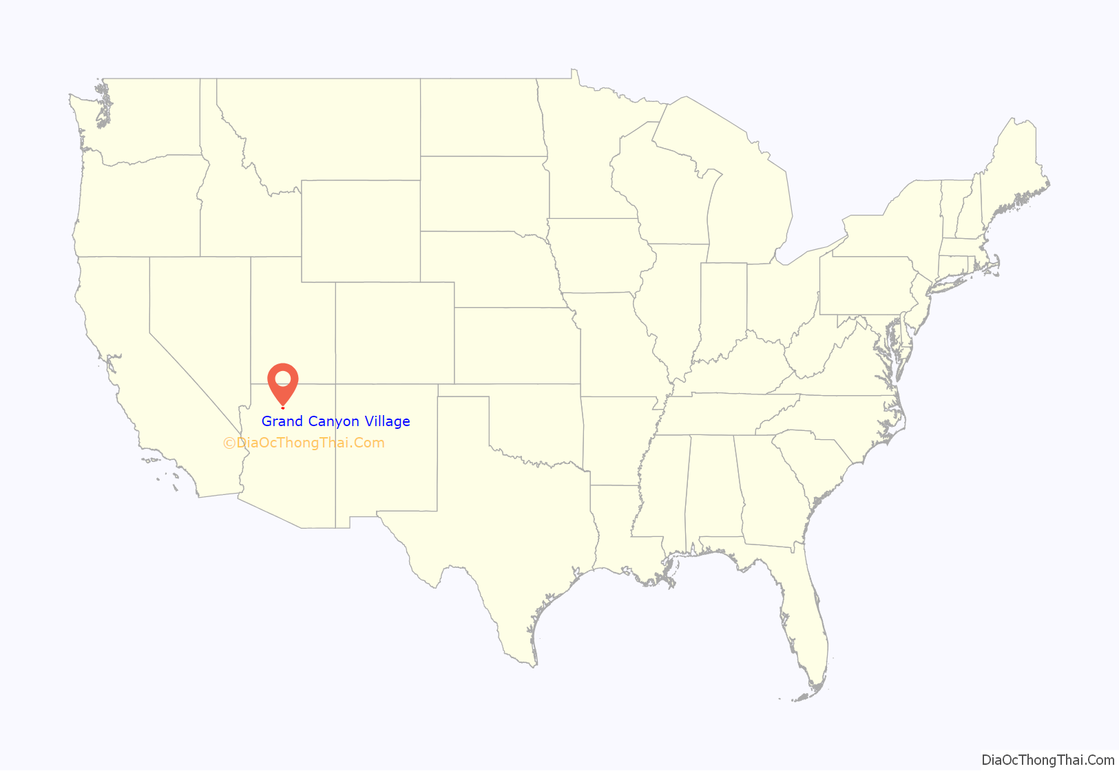
Grand Canyon Village location map. Where is Grand Canyon Village CDP?
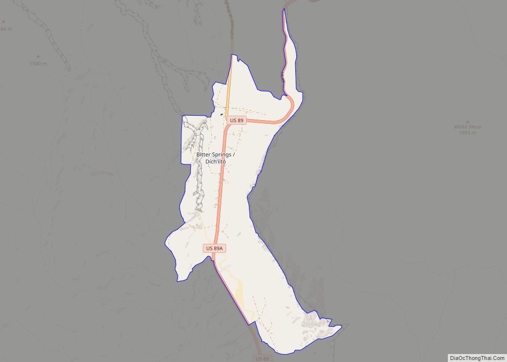
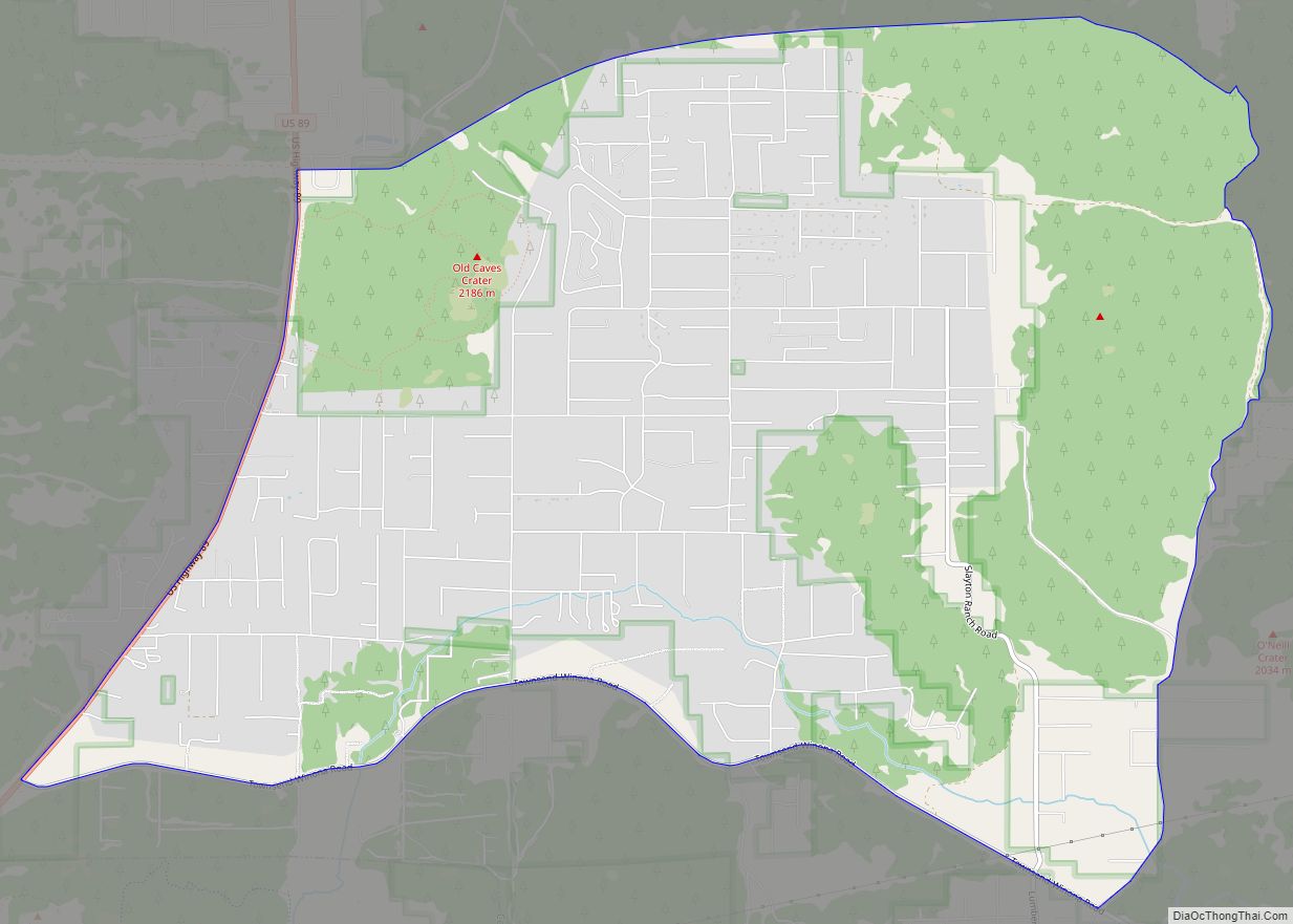
Grand Canyon Village Road Map
Grand Canyon Village city Satellite Map
Geography
According to the United States Census Bureau, the CDP has a total area of 13.4 square miles (35 km), all land.
It is located 180 miles (290 km) north of Phoenix, and 168 miles (270 km) from Las Vegas.
Groome Transportation provides scheduled service between Grand Canyon Village and Flagstaff, Arizona. Trans-Canyon Shuttle provides seasonal scheduled services between Grand Canyon Village and North Rim, Arizona and seasonal service between Grand Canyon Village and Marble Canyon. National Park Express provides a daily shuttle between Page and Grand Canyon Village.
The Grand Canyon Railway connects the Grand Canyon Depot in Grand Canyon Village with the Williams Depot in Williams, Arizona. Connections were offered to Amtrak’s Williams Junction station until 2017, when the station was closed.
The National Park Service operates free shuttle buses on the South Rim.
See also
Map of Arizona State and its subdivision: Map of other states:- Alabama
- Alaska
- Arizona
- Arkansas
- California
- Colorado
- Connecticut
- Delaware
- District of Columbia
- Florida
- Georgia
- Hawaii
- Idaho
- Illinois
- Indiana
- Iowa
- Kansas
- Kentucky
- Louisiana
- Maine
- Maryland
- Massachusetts
- Michigan
- Minnesota
- Mississippi
- Missouri
- Montana
- Nebraska
- Nevada
- New Hampshire
- New Jersey
- New Mexico
- New York
- North Carolina
- North Dakota
- Ohio
- Oklahoma
- Oregon
- Pennsylvania
- Rhode Island
- South Carolina
- South Dakota
- Tennessee
- Texas
- Utah
- Vermont
- Virginia
- Washington
- West Virginia
- Wisconsin
- Wyoming
