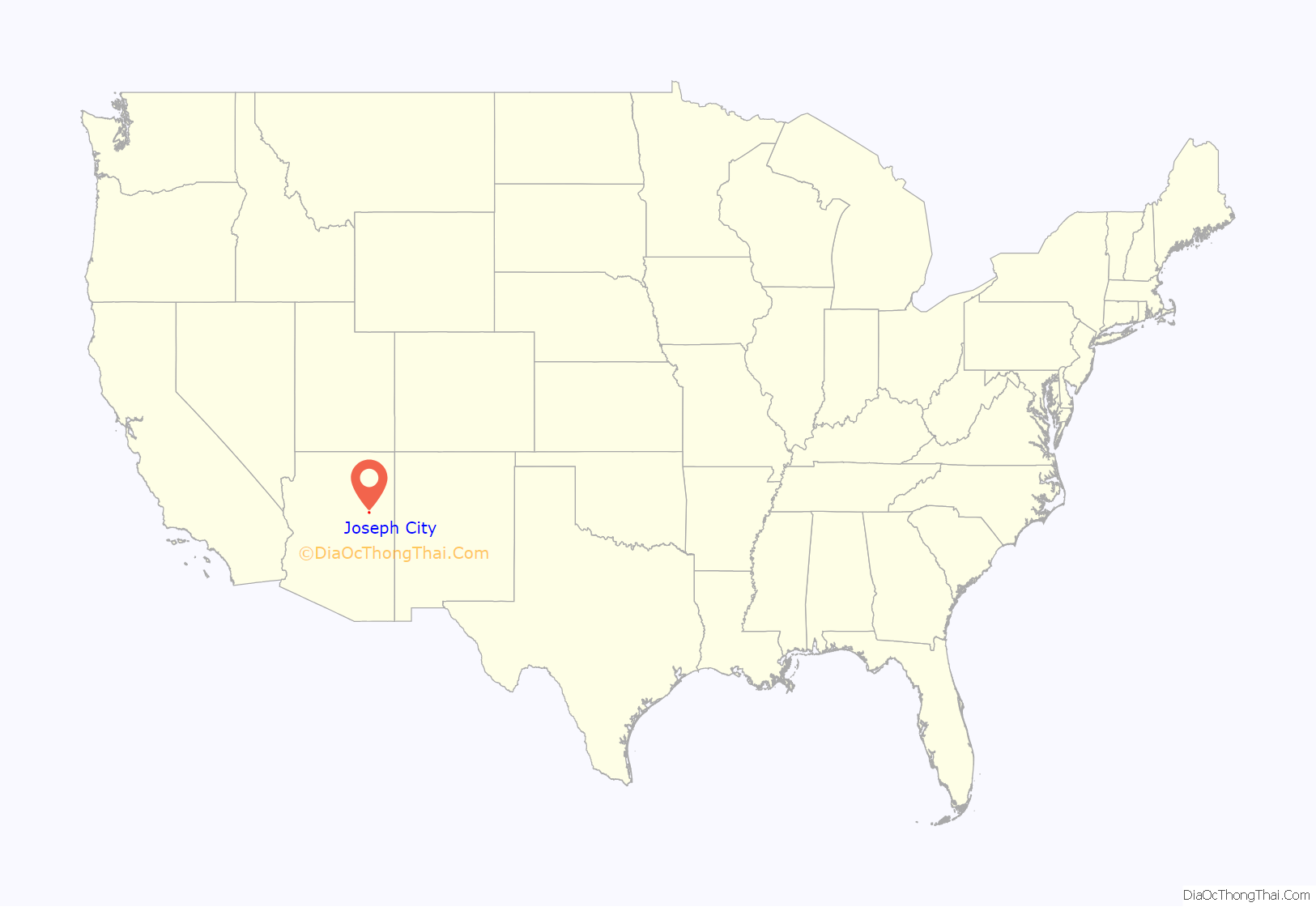
Joseph City (elevation 5,000 ft) is a Census Designated Place located in Navajo County, Arizona, United States. It is located on Interstate 40, approximately eighty miles east of Flagstaff and about thirty-five miles west of Petrified Forest National Park. In 2010, there were 1,386 inhabitants.
It is the site of the Jack Rabbit Trading Post, a famous Route 66 landmark.
| Name: | Joseph City CDP |
|---|---|
| LSAD Code: | 57 |
| LSAD Description: | CDP (suffix) |
| State: | Arizona |
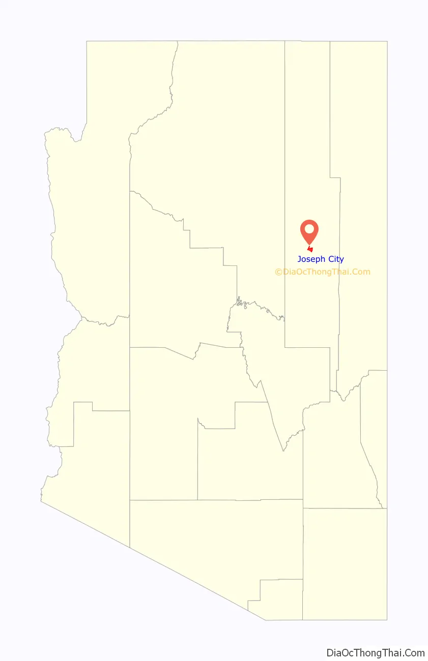
| County: | Navajo County |
| Elevation: | 5,043 ft (1,537 m) |
| Total Area: | 7.41 sq mi (19.20 km²) |
| Land Area: | 7.40 sq mi (19.17 km²) |
| Water Area: | 0.01 sq mi (0.04 km²) |
| Total Population: | 1,307 |
| Population Density: | 176.62/sq mi (68.19/km²) |
| ZIP code: | 86032 |
| Area code: | 928 |
| FIPS code: | 0436430 |
Online Interactive Map
Click on ![]() to view map in "full screen" mode.
to view map in "full screen" mode.
Joseph City location map. Where is Joseph City CDP?
History
Joseph City was settled in 1876 by colonists who were members of the Church of Jesus Christ of Latter-day Saints. This band of 73 pioneers was led by Captain William C. Allen. They traveled to the Little Colorado River basin of Arizona. Joseph City was one of four Little Colorado River colonies. The other colonies were Brigham City, Sunset, and Obed. Joseph City is the only remaining colony.
The hardest challenge for the new colonists was trying to get water for their crops. This meant that they had to tame the Little Colorado River, which was difficult due to the flooding season that would destroy dams along the river. The first dam was built in 1876, shortly after the colonists arrived in the area. In the next 18 years the colonists built ten more dams. The eleventh dam was built in 1894. This dam lasted 29 years. In 1923, the eleventh dam was destroyed and the colonists were forced to build a new dam. This dam still currently stands and directs water to the inhabitants still in the city.
The name of the colony changed twice since its founding. The area settled by Captain Allen’s group was called Allen’s Camp, in honor of their leader. The name changed in January 1878 to St. Joseph. This change came about when the Little Colorado Stake was organized, to honor Joseph Smith, founder of the Latter Day Saint movement. In 1923 there was a final name change to Joseph City. Due to mail and freight shipment confusion, the Santa Fe Railway, which also ran through Saint Joseph, Missouri, asked St. Joseph, Arizona to change its name. The residents of the town voted and the name became Joseph City.
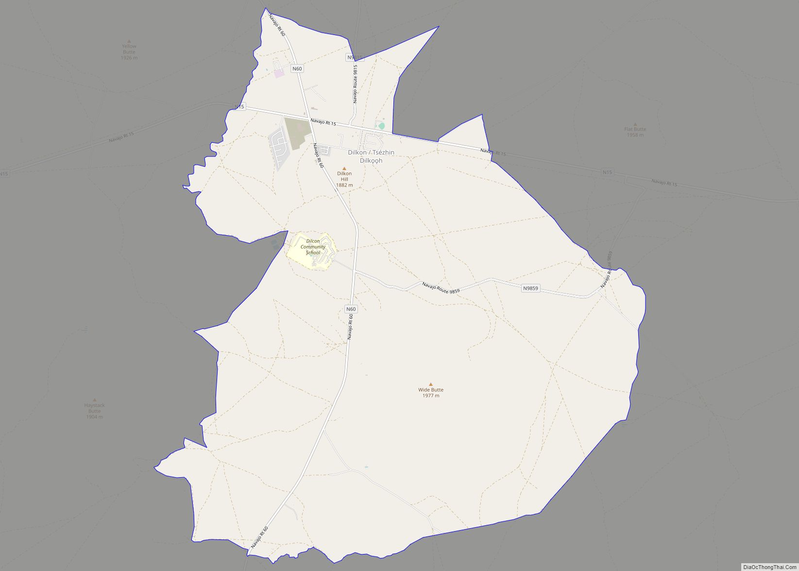
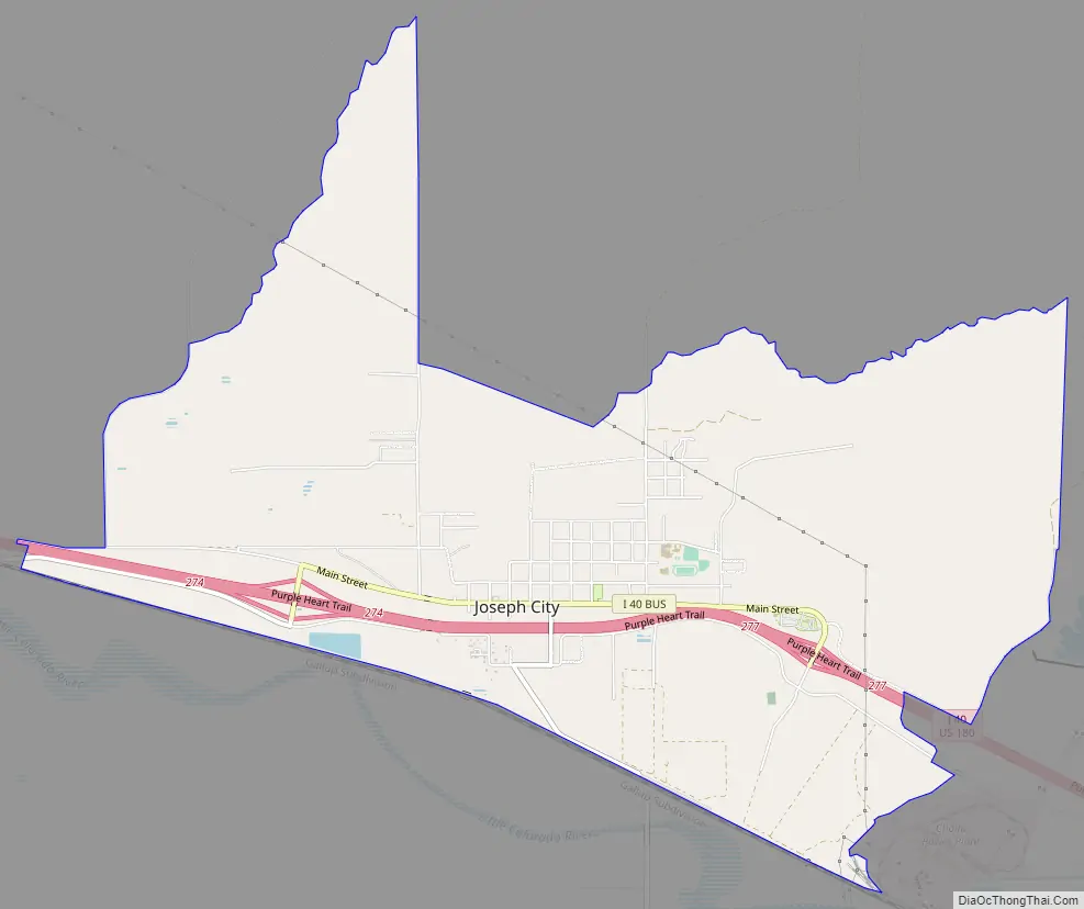
Joseph City Road Map
Joseph City city Satellite Map

Geography
Joseph City is located at 34°57′21″N 110°20′02″W / 34.95583°N 110.33389°W / 34.95583; -110.33389 (34.955833, -110.333889).
According to the United States Census Bureau, the city has a total area of 7.41 square miles (19.2 km), of which 7.4 square miles (19 km) is land and 0.01 square miles (0.026 km) is water.
See also
Map of Arizona State and its subdivision: Map of other states:- Alabama
- Alaska
- Arizona
- Arkansas
- California
- Colorado
- Connecticut
- Delaware
- District of Columbia
- Florida
- Georgia
- Hawaii
- Idaho
- Illinois
- Indiana
- Iowa
- Kansas
- Kentucky
- Louisiana
- Maine
- Maryland
- Massachusetts
- Michigan
- Minnesota
- Mississippi
- Missouri
- Montana
- Nebraska
- Nevada
- New Hampshire
- New Jersey
- New Mexico
- New York
- North Carolina
- North Dakota
- Ohio
- Oklahoma
- Oregon
- Pennsylvania
- Rhode Island
- South Carolina
- South Dakota
- Tennessee
- Texas
- Utah
- Vermont
- Virginia
- Washington
- West Virginia
- Wisconsin
- Wyoming