Kaibab is an unincorporated community and census-designated place (CDP) in Mohave County, Arizona, United States. It is within the Kaibab Indian Reservation. The population of the CDP was 140 at the 2020 census.
| Name: | Kaibab CDP |
|---|---|
| LSAD Code: | 57 |
| LSAD Description: | CDP (suffix) |
| State: | Arizona |
| County: | Mohave County |
| Elevation: | 4,991 ft (1,521 m) |
| Total Area: | 6.46 sq mi (16.74 km²) |
| Land Area: | 6.46 sq mi (16.72 km²) |
| Water Area: | 0.01 sq mi (0.02 km²) |
| Total Population: | 140 |
| Population Density: | 21.69/sq mi (8.37/km²) |
| ZIP code: | 86022 |
| Area code: | 928 |
| FIPS code: | 0436500 |
| GNISfeature ID: | 42814 |
Online Interactive Map
Click on ![]() to view map in "full screen" mode.
to view map in "full screen" mode.
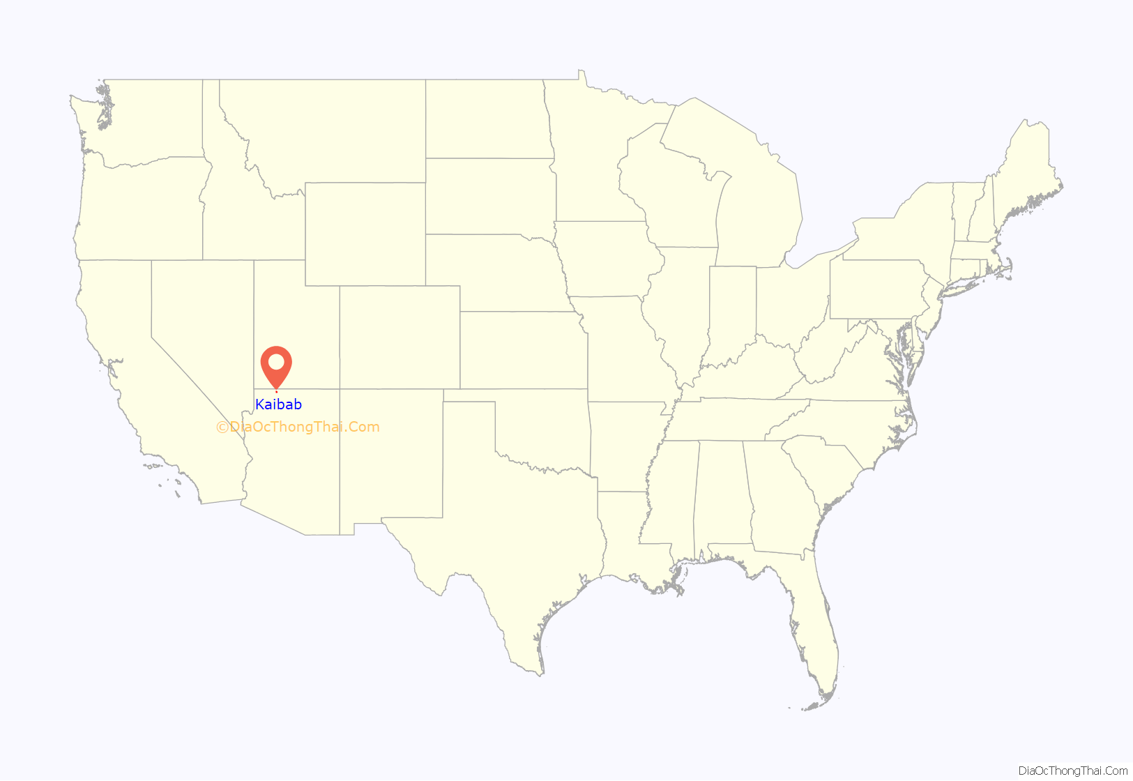
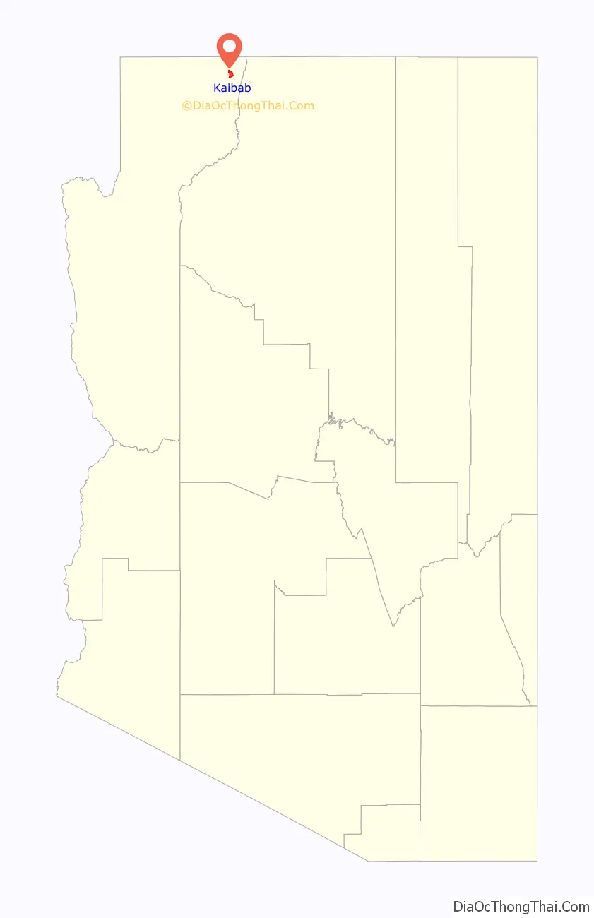
Kaibab location map. Where is Kaibab CDP?
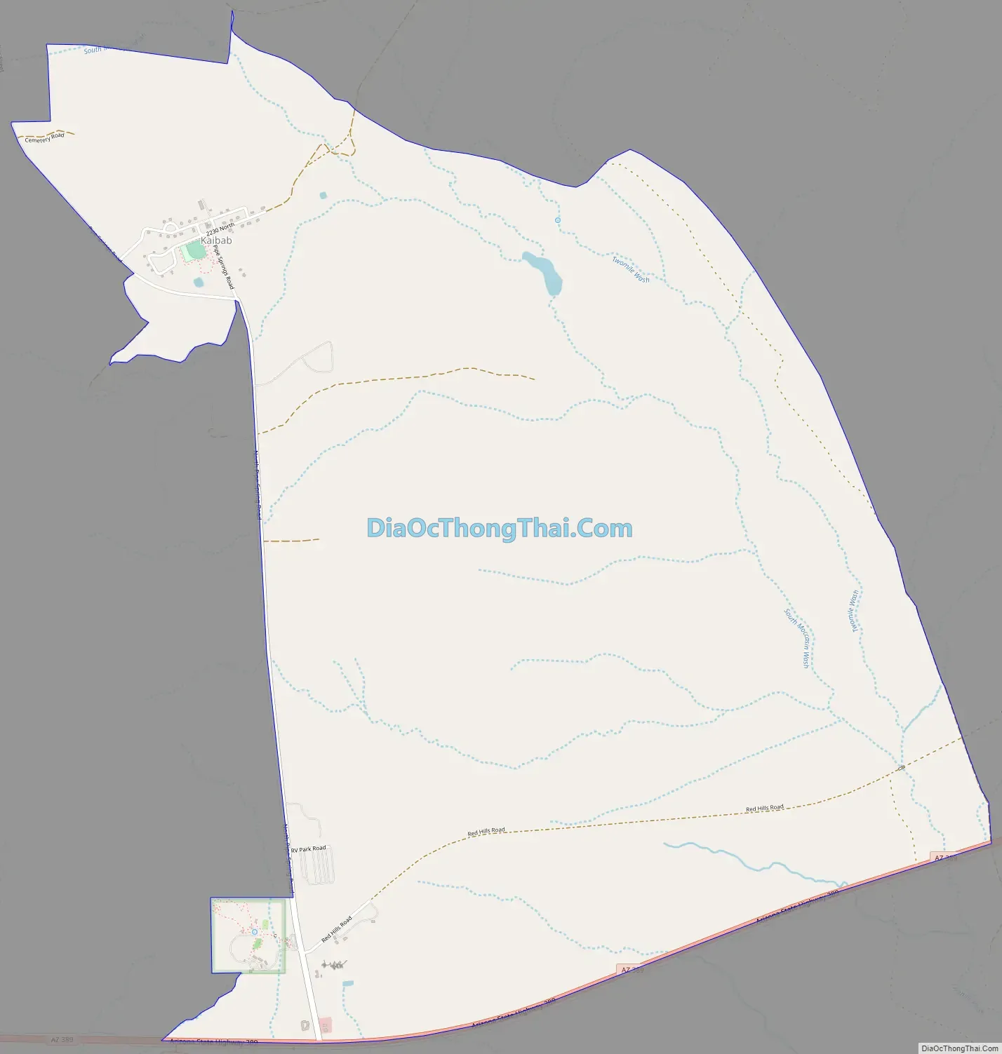
Kaibab Road Map
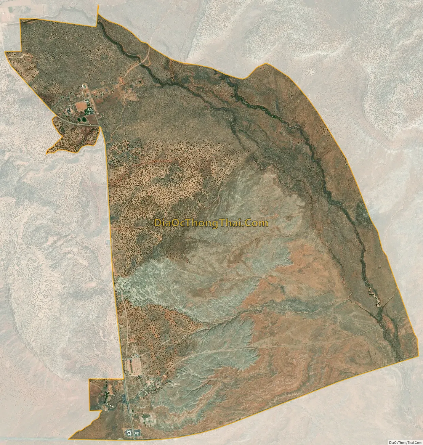
Kaibab city Satellite Map
Geography
Kaibab is located in the northeast corner of Mohave County at 36°54′46″N 112°40′7″W / 36.91278°N 112.66861°W / 36.91278; -112.66861 (36.912680, -112.668732). Arizona State Route 389 forms the southern edge of the CDP; the highway leads northeast 13 miles (21 km) to Fredonia and northwest 18 miles (29 km) to Colorado City. The townsite of Kaibab is 3 miles (5 km) north of AZ 389 on Pipe Spring Road.
Pipe Spring National Monument is in the southwest corner of the CDP, close to AZ 389. The CDP is bordered to the north by the CDP of Moccasin. According to the United States Census Bureau, the Kaibab CDP has a total area of 6.4 square miles (16.7 km), of which 0.01 square miles (0.02 km), or 0.1%, is water.
The townsite is located at a section of the Vermilion Cliffs and a southeast stretch of the Moccasin Mountains.
See also
Map of Arizona State and its subdivision: Map of other states:- Alabama
- Alaska
- Arizona
- Arkansas
- California
- Colorado
- Connecticut
- Delaware
- District of Columbia
- Florida
- Georgia
- Hawaii
- Idaho
- Illinois
- Indiana
- Iowa
- Kansas
- Kentucky
- Louisiana
- Maine
- Maryland
- Massachusetts
- Michigan
- Minnesota
- Mississippi
- Missouri
- Montana
- Nebraska
- Nevada
- New Hampshire
- New Jersey
- New Mexico
- New York
- North Carolina
- North Dakota
- Ohio
- Oklahoma
- Oregon
- Pennsylvania
- Rhode Island
- South Carolina
- South Dakota
- Tennessee
- Texas
- Utah
- Vermont
- Virginia
- Washington
- West Virginia
- Wisconsin
- Wyoming


