Lake Montezuma is a census-designated place (CDP) in Yavapai County in the U.S. state of Arizona. The population was 5,111 at the 2020 census. The CDP includes the communities of Rimrock and McGuireville. Located along Interstate 17, it is 20 miles (32 km) south of Sedona and 8 miles (13 km) north of Camp Verde in central Arizona’s Verde Valley.
| Name: | Lake Montezuma CDP |
|---|---|
| LSAD Code: | 57 |
| LSAD Description: | CDP (suffix) |
| State: | Arizona |
| County: | Yavapai County |
| Elevation: | 3,460 ft (1,055 m) |
| Total Area: | 11.54 sq mi (29.89 km²) |
| Land Area: | 11.53 sq mi (29.86 km²) |
| Water Area: | 0.01 sq mi (0.03 km²) |
| Total Population: | 5,111 |
| Population Density: | 443.28/sq mi (171.15/km²) |
| ZIP code: | 86342 |
| Area code: | 928 |
| FIPS code: | 0439720 |
| GNISfeature ID: | 30844 |
Online Interactive Map
Click on ![]() to view map in "full screen" mode.
to view map in "full screen" mode.
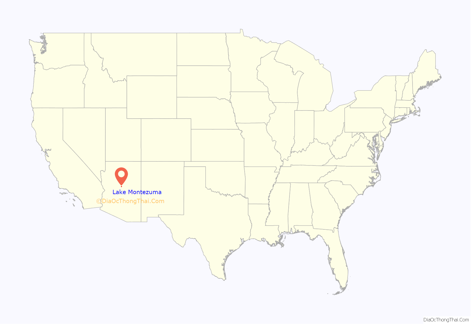
Lake Montezuma location map. Where is Lake Montezuma CDP?
History
The community was originally known as Beaver Creek as ranchers and farmers settled along the banks of the creek named for the prolific numbers of beavers found there.
Wales Arnold, the first settler along Beaver Creek, came to Beaver Creek in 1870 and lived at what became known as The Montezuma Well Ranch. Arnold, who came to Arizona as a member of the California Column during the Civil War ultimately became the sutler or civilian merchant of the firm Arnold and Bowers at Camp Lincoln following his discharge from the Army at Fort Whipple August 29, 1864. His partner in this enterprise was George Bowers who was killed by Indians near the head of Copper Canyon while en route to Prescott alongside a young soldier named Robert Nix. Arnold held several hay contracts with the Army at Camp Lincoln (renamed Fort Verde in 1868) and grew the first alfalfa known to be grown in the Verde Valley. The Montezuma Well Ranch served as a way station where mail riders changed horses when the mail began to be carried from Fort Whipple to Fort Wingate.
By 1879 there were several children along Beaver Creek and what became Beaver Creek School started when Ed Mulholland began teaching school there then.
The part of the community known as McGuireville began in 1910 when Eugene McGuire settled near the confluence of Dry Beaver Creek and Wet Beaver Creek. This was also at the junction of the historic road from Stoneman Lake which split there with one route going on to Cornville, Cottonwood and Jerome and the other going south to Camp Verde and on to Prescott via Copper Canyon or Cherry. Eugene McGuire along with his son Gene homesteaded there beginning in 1910. Their small store and gas station was supplanted by another store operated by Midge Montgomery who started Beaver Creek Store there in 1931.
The area generally became known as Rimrock in 1928 when Virginia Finnie, the daughter of a prominent local rancher, married Romaine Lowdermilk and the couple along with partner Russell Boardman started a dude ranch originally called Rimrock Lodge later known as Rimrock Dude Ranch. It was so named for the prominent limestone rimrocks forming the edges of the mesas visible from the hill top ranch. Her prominent guests were wanting efficient communications with the outside world so Virginia saw the need to establish a post office on the ranch. Virginia’s Mother-in-law, Ella Loudermilk, became the first post mistress of the newly established Rimrock Post Office chartered July 11, 1928. People from the Coconino County line near Stoneman Lake, Apache Maid Ranch etc. and up and down the creek nearly to Camp Verde, picked up their mail at the Rimrock Post Office. The former area of Beaver Creek School district thus generally became known as Rimrock. One of Arizona’s oldest continuously operated landing strips – The Rimrock Airport – is located here as dudes used to fly into the ranch in days gone by.
Around 1957 shortly after the Black Canyon Highway was built north from Phoenix, one of the largest ranches in Rimrock was turned into a subdivision called Lake Montezuma. The developers were planning on selling much of the property to out-of-state buyers and realized they needed something attractive in the name. They dug out a pond below the original ranch house and named it Lake Montezuma after the area’s most significant local landmark – Montezuma Well National Monument.
The majority of the population of the rapidly growing area soon lived in this one subdivision and virtually all of them were not from the local area. They would identify themselves as being from Lake Montezuma not realizing that they might also be considered a resident of Rimrock and also Beaver Creek. Thus the confusion over the name of the general area.
In the area of the nearby Lawrence Crossing of the Wet Beaver Creek there are artifacts of the ancient Sinagua people, including water catchments for irrigation canals.
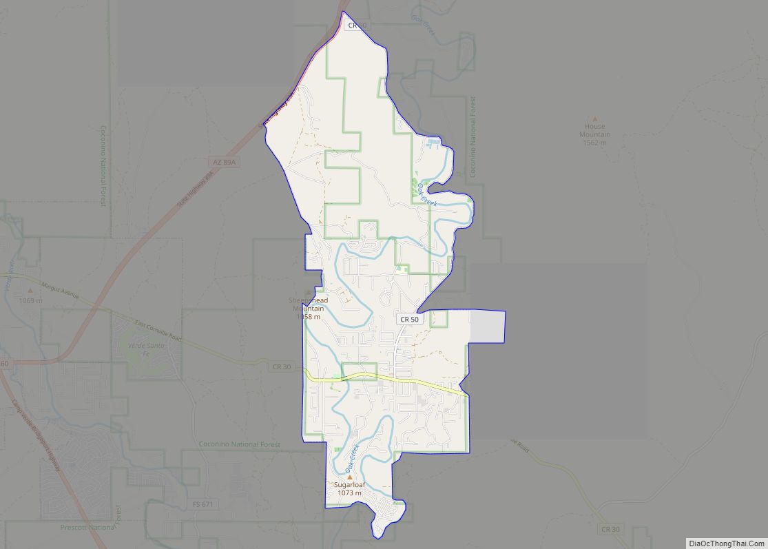
Lake Montezuma Road Map
Lake Montezuma city Satellite Map
Geography
Lake Montezuma is located at 34°38′25″N 111°47′0″W / 34.64028°N 111.78333°W / 34.64028; -111.78333 (34.640283, -111.783377).
According to the United States Census Bureau, the CDP has a total area of 12.0 square miles (31 km), of which 11.9 square miles (31 km) is land and 0.08% is water.
Climate
The Köppen Climate Classification subtype for this climate is “Csa”. (Mediterranean Climate).
See also
Map of Arizona State and its subdivision: Map of other states:- Alabama
- Alaska
- Arizona
- Arkansas
- California
- Colorado
- Connecticut
- Delaware
- District of Columbia
- Florida
- Georgia
- Hawaii
- Idaho
- Illinois
- Indiana
- Iowa
- Kansas
- Kentucky
- Louisiana
- Maine
- Maryland
- Massachusetts
- Michigan
- Minnesota
- Mississippi
- Missouri
- Montana
- Nebraska
- Nevada
- New Hampshire
- New Jersey
- New Mexico
- New York
- North Carolina
- North Dakota
- Ohio
- Oklahoma
- Oregon
- Pennsylvania
- Rhode Island
- South Carolina
- South Dakota
- Tennessee
- Texas
- Utah
- Vermont
- Virginia
- Washington
- West Virginia
- Wisconsin
- Wyoming
