Sedona /sɪˈdoʊnə/ is a city that straddles the county line between Coconino and Yavapai counties in the northern Verde Valley region of the U.S. state of Arizona. As of the 2010 census, its population was 10,031. It is within the Coconino National Forest.
Sedona’s main attraction is its array of red sandstone formations. The formations appear to glow in brilliant orange and red when illuminated by the rising or setting sun. The red rocks form a popular backdrop for many activities, ranging from spiritual pursuits to the hundreds of hiking and mountain biking trails. Sedona is also the home to the nationally recognized McDonald’s with turquoise arches, instead of the traditional Golden Arches.
Sedona was named after Sedona Arabella Miller Schnebly (1877–1950), the wife of Theodore Carlton Schnebly, the city’s first postmaster. She was celebrated for her hospitality and industriousness. Her mother, Amanda Miller, claimed to have made the name up because “it sounded pretty”.
| Name: | Sedona city |
|---|---|
| LSAD Code: | 25 |
| LSAD Description: | city (suffix) |
| State: | Arizona |
| County: | Coconino County, Yavapai County |
| Founded: | 1902 |
| Incorporated: | 1988 |
| Elevation: | 4,350 ft (1,330 m) |
| Total Area: | 18.30 sq mi (47.41 km²) |
| Land Area: | 18.26 sq mi (47.30 km²) |
| Water Area: | 0.04 sq mi (0.11 km²) |
| Total Population: | 9,684 |
| Population Density: | 530.28/sq mi (204.75/km²) |
| ZIP code: | 86336 |
| Area code: | 928 |
| FIPS code: | 0465350 |
| GNISfeature ID: | 34242 |
| Website: | www.sedonaaz.gov |
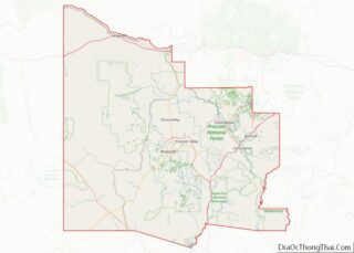
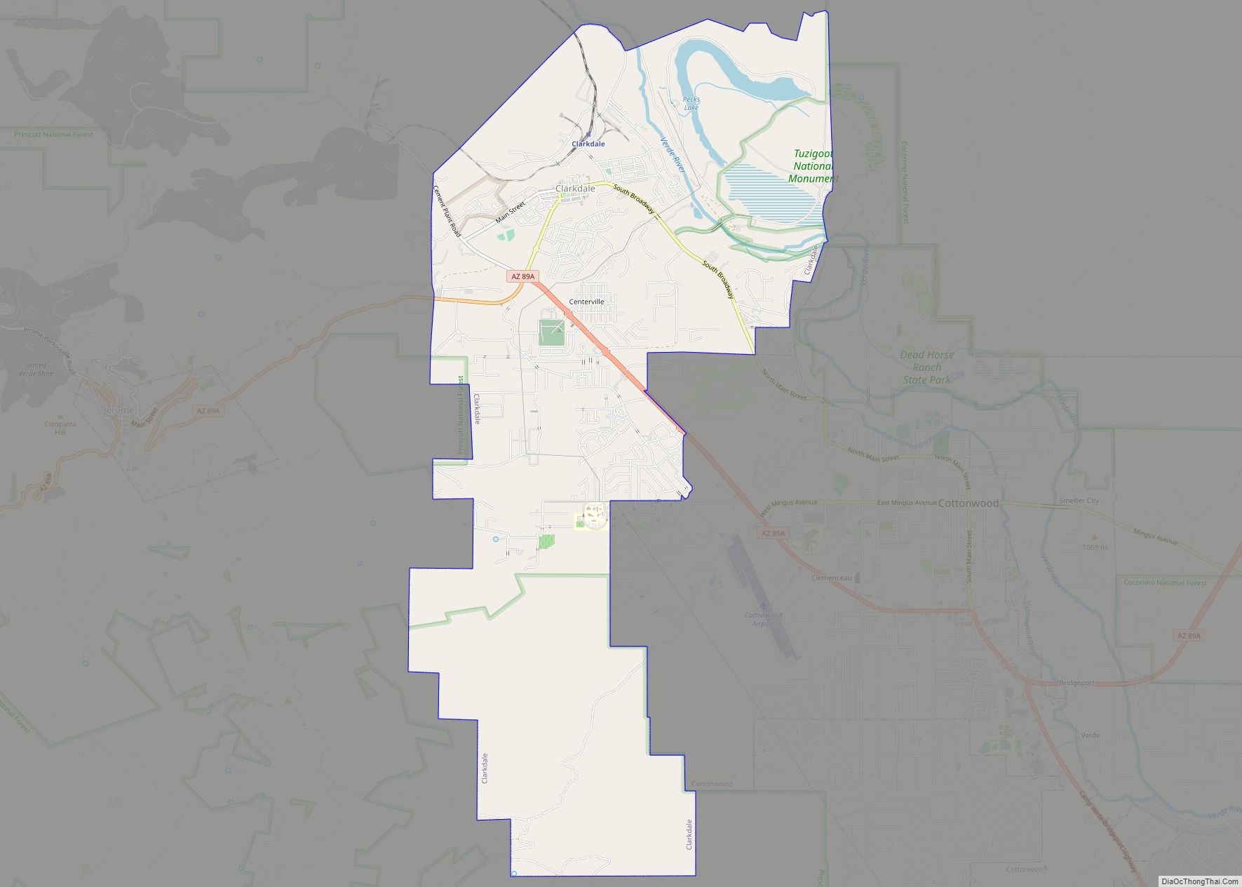
Online Interactive Map
Click on ![]() to view map in "full screen" mode.
to view map in "full screen" mode.
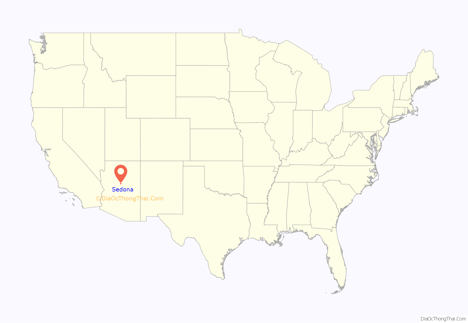
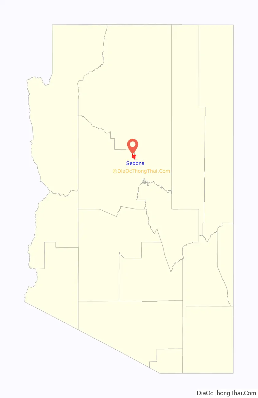
Sedona location map. Where is Sedona city?
History
Anglo-American settlement
The first Anglo settler, John J. Thompson, moved to Oak Creek Canyon in 1876, an area well known for its peach and apple orchards. The early settlers were farmers and ranchers. In 1902, when the Sedona post office was established, there were 55 residents. In the mid-1950s, the first telephone directory listed 155 names. Some parts of the Sedona area were not electrified until the 1960s.
Sedona began to develop as a tourist destination, vacation-home and retirement center in the 1950s. Most of the development seen today was constructed in the 1980s and 1990s. As of 2007, there are no large tracts of undeveloped land remaining.
Important early settlers included the Steele family, originally of Scotland.
Chapel of the Holy Cross
In 1956, construction of the Chapel of the Holy Cross was completed. The chapel rises 70 feet (21 m) out of a 1,000-foot (300 m) redrock cliff. The most prominent feature of the chapel is the cross. Later a chapel was added. Inside the chapel there is a window and a cross with benches and pews.
Cinematic legacy
Sedona played host to more than sixty Hollywood productions from the first years of movies into the 1970s. Stretching as far back as 1923, Sedona’s red rocks were a fixture in major Hollywood productions – including films such as Angel and the Badman, Desert Fury, Blood on the Moon, Johnny Guitar, The Last Wagon, and 3:10 to Yuma. However, the surroundings typically were identified to audiences as the terrain of Texas, California, Nevada, and even Canada–US border territory. The town lent its name to the 2011 film Sedona, which is set in the community.
Brins Fire
On June 18, 2006, a wildfire, reportedly started by campers, began about one mile (1.61 km) north of Sedona. The Brins Fire covered 4,317 acres (17 km) on Brins Mesa, Wilson Mountain and in Oak Creek Canyon before the USDA Forest Service declared it 100 percent contained on June 28. Containment cost was estimated at $6.4 million.
Slide Fire
On May 20, 2014, a wildfire started from an unknown cause began north of Sedona at Slide Rock State Park. The Slide Fire spread across 21,227 acres in Oak Creek Canyon over nine days and prompted evacuations. State Route 89A opened to Flagstaff in June, but all parking and canyon access was closed to the public until October 1, 2014.
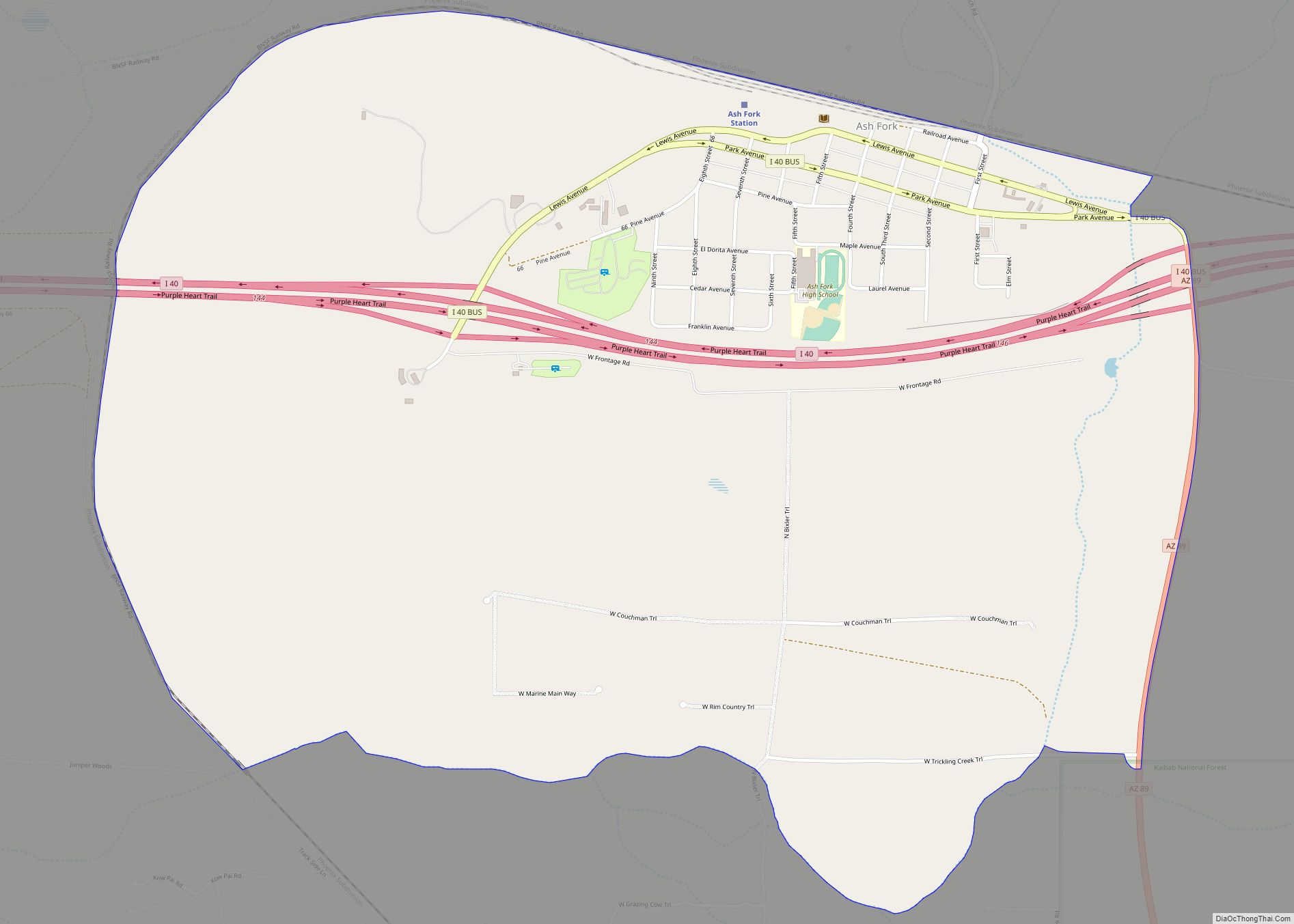
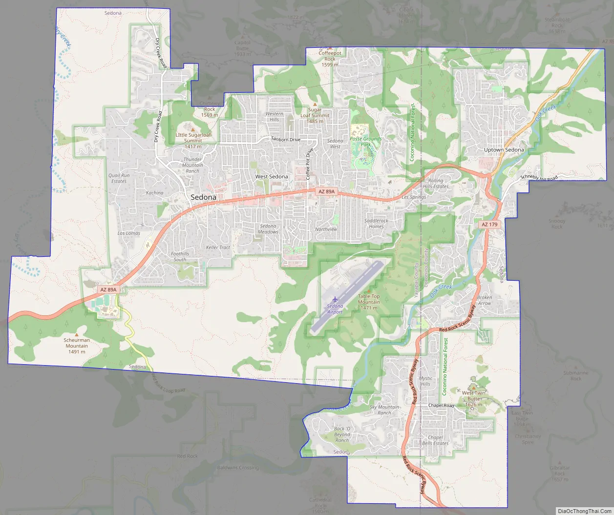
Sedona Road Map
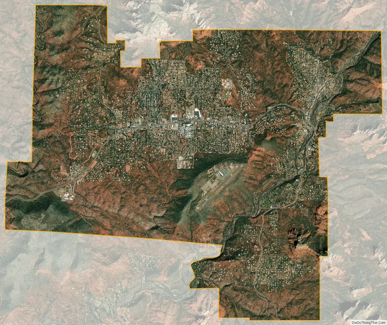
Sedona city Satellite Map
Geography
Sedona is located in the interior chaparral, semi-desert grassland, Great Basin conifer woodland biomes of northern Arizona. Sedona has mild winters and warm summers.
According to the United States Census Bureau, the city has a total area of 19.2 square miles (49.7 km), of which 0.04 square miles (0.1 km), or 0.22%, is water.
Flora
Sedona interior chaparral has many shrubs and small tree species of Quercus turbinella and Rhus ovata and a large population of Quercus palmeri. The Great Basin woodland has many small to medium trees of Pinus monophylla Var. fallax, Juniperus arizonica, Juniperus deppeana, Juniperus osteosperma, and Juniperus monosperma and a large population of Cupressus glabra. At higher elevations in Oak Creek Canyon Juniperus virginiana, Pinus edulis and other pines occur.
Geology
The red rocks of Sedona are formed by a unique layer of rock known as the Schnebly Hill Formation. The Schnebly Hill Formation is a thick layer of red to orange-colored sandstone found only in the Sedona vicinity. The sandstone, a member of the Supai Group, was deposited during the Permian Period.
Climate
Sedona has a temperate semi-arid climate. In January, the average high temperature is 57 °F (14 °C) with a low of 31 °F (−1 °C). In July, the average high temperature is 97 °F (34 °C) with a low of 64 °F (17 °C). Annual precipitation is just over 19 inches (480 mm).
See also
Map of Arizona State and its subdivision: Map of other states:- Alabama
- Alaska
- Arizona
- Arkansas
- California
- Colorado
- Connecticut
- Delaware
- District of Columbia
- Florida
- Georgia
- Hawaii
- Idaho
- Illinois
- Indiana
- Iowa
- Kansas
- Kentucky
- Louisiana
- Maine
- Maryland
- Massachusetts
- Michigan
- Minnesota
- Mississippi
- Missouri
- Montana
- Nebraska
- Nevada
- New Hampshire
- New Jersey
- New Mexico
- New York
- North Carolina
- North Dakota
- Ohio
- Oklahoma
- Oregon
- Pennsylvania
- Rhode Island
- South Carolina
- South Dakota
- Tennessee
- Texas
- Utah
- Vermont
- Virginia
- Washington
- West Virginia
- Wisconsin
- Wyoming