Lazy Y U is an unincorporated community and census-designated place (CDP) in Mohave County, Arizona, United States. The population was 474 at the 2020 census, up from 428 at the 2010 census.
| Name: | Lazy Y U CDP |
|---|---|
| LSAD Code: | 57 |
| LSAD Description: | CDP (suffix) |
| State: | Arizona |
| County: | Mohave County |
| Elevation: | 4,455 ft (1,358 m) |
| Total Area: | 15.71 sq mi (40.69 km²) |
| Land Area: | 15.71 sq mi (40.69 km²) |
| Water Area: | 0.00 sq mi (0.00 km²) |
| Total Population: | 474 |
| Population Density: | 30.17/sq mi (11.65/km²) |
| ZIP code: | 86401 |
| Area code: | 928 |
| FIPS code: | 0440400 |
| GNISfeature ID: | 2582814 |
Online Interactive Map
Click on ![]() to view map in "full screen" mode.
to view map in "full screen" mode.
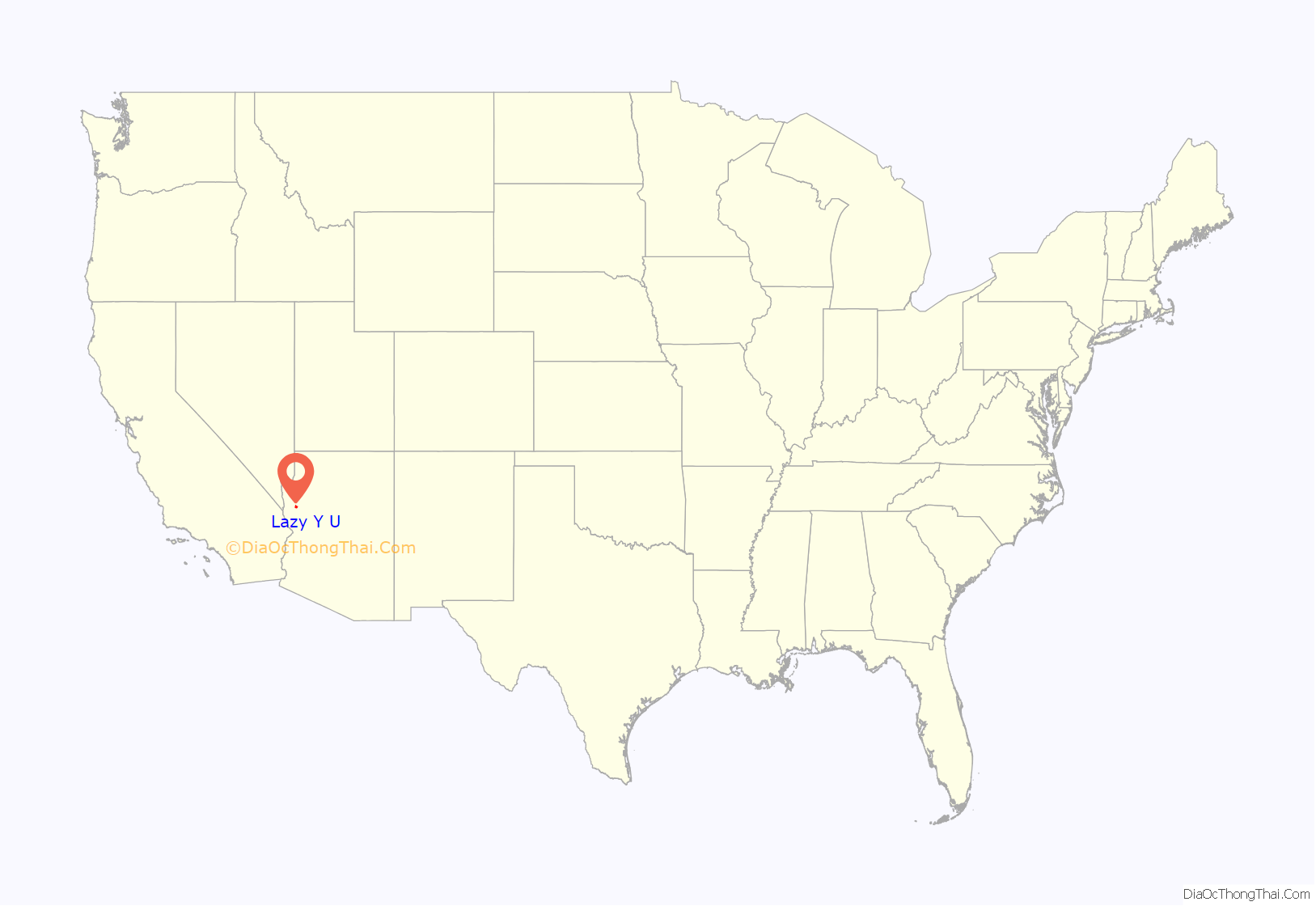
Lazy Y U location map. Where is Lazy Y U CDP?
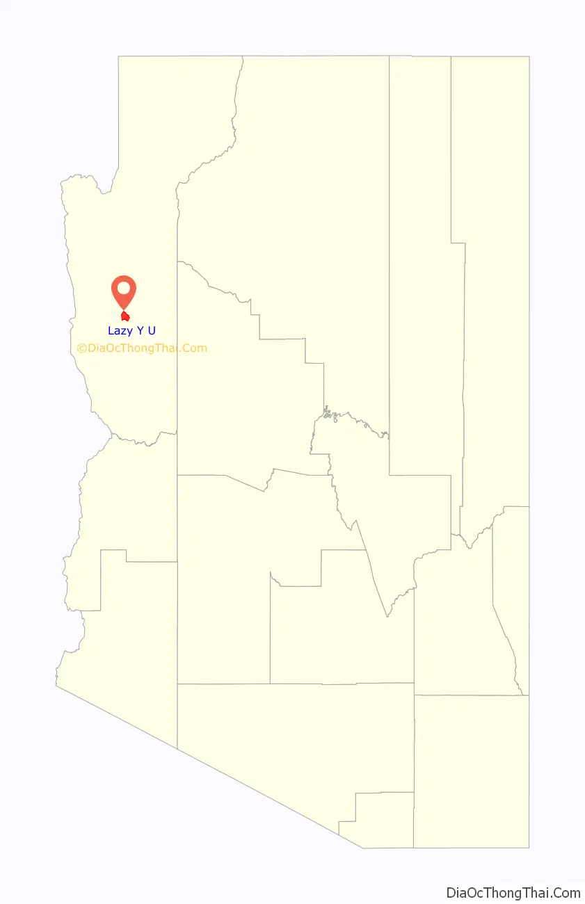
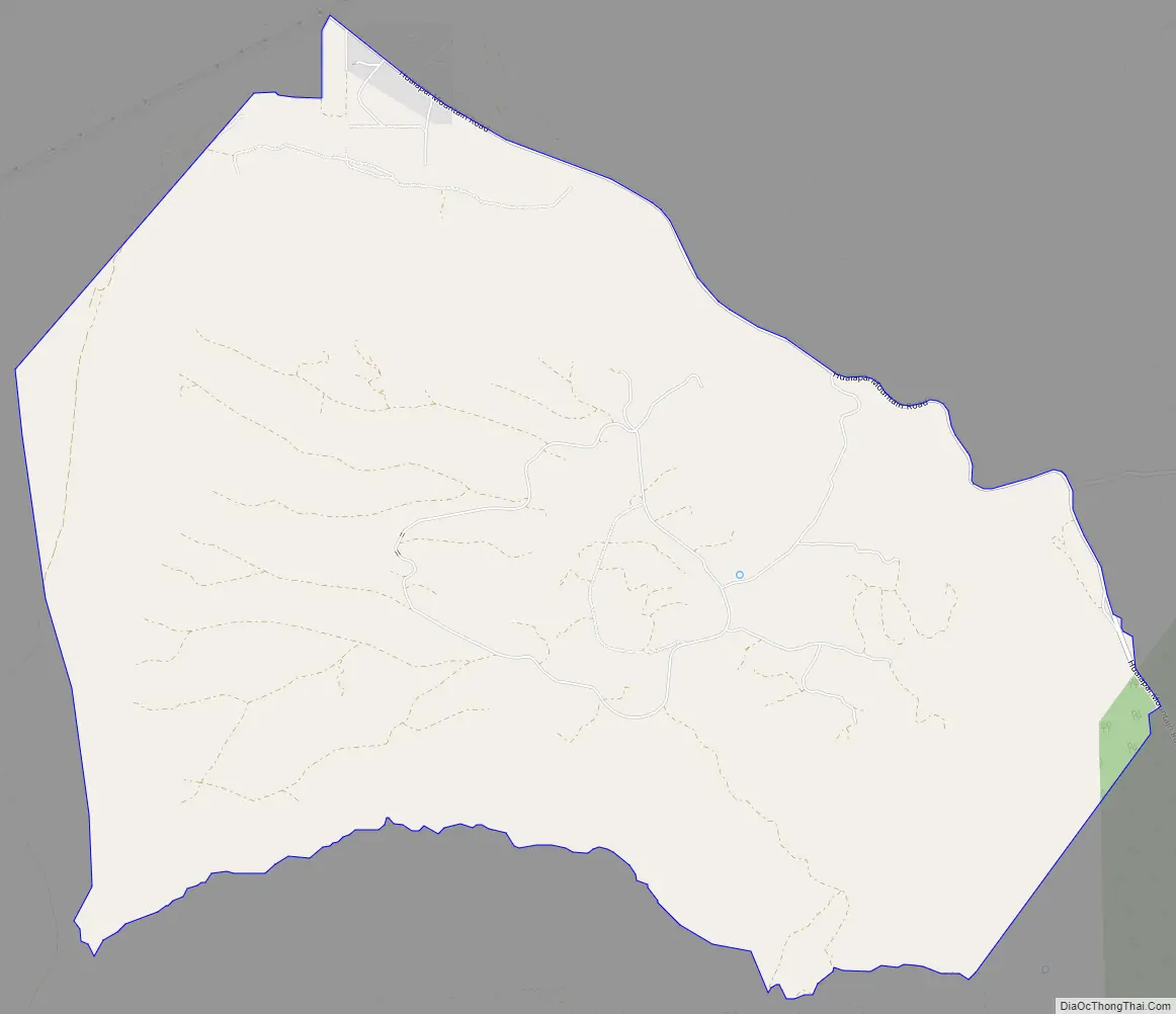
Lazy Y U Road Map
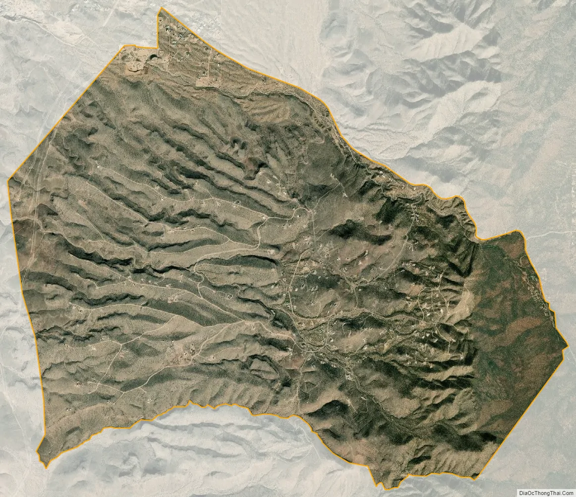
Lazy Y U city Satellite Map
Geography
Lazy Y U is located in central Mohave County at 35°08′13″N 113°58′06″W / 35.13694°N 113.96833°W / 35.13694; -113.96833 (35.136913, −113.968466). It is 9 miles (14 km) by road southeast of the center of Kingman, the Mohave county seat. According to the United States Census Bureau, the CDP has a total area of 15.71 square miles (40.7 km), all land.
See also
Map of Arizona State and its subdivision: Map of other states:- Alabama
- Alaska
- Arizona
- Arkansas
- California
- Colorado
- Connecticut
- Delaware
- District of Columbia
- Florida
- Georgia
- Hawaii
- Idaho
- Illinois
- Indiana
- Iowa
- Kansas
- Kentucky
- Louisiana
- Maine
- Maryland
- Massachusetts
- Michigan
- Minnesota
- Mississippi
- Missouri
- Montana
- Nebraska
- Nevada
- New Hampshire
- New Jersey
- New Mexico
- New York
- North Carolina
- North Dakota
- Ohio
- Oklahoma
- Oregon
- Pennsylvania
- Rhode Island
- South Carolina
- South Dakota
- Tennessee
- Texas
- Utah
- Vermont
- Virginia
- Washington
- West Virginia
- Wisconsin
- Wyoming


