Mayer is a census-designated place (CDP) in Yavapai County, Arizona, United States. The population was 1,408 at the 2000 census. Mayer includes three sites listed on the National Register of Historic Places: Mayer Apartments, Mayer Business Block, and Mayer Red Brick Schoolhouse.
| Name: | Mayer CDP |
|---|---|
| LSAD Code: | 57 |
| LSAD Description: | CDP (suffix) |
| State: | Arizona |
| County: | Yavapai County |
| Elevation: | 4,415 ft (1,346 m) |
| Total Area: | 20.15 sq mi (52.19 km²) |
| Land Area: | 20.15 sq mi (52.19 km²) |
| Water Area: | 0.00 sq mi (0.00 km²) |
| Total Population: | 1,558 |
| Population Density: | 77.31/sq mi (29.85/km²) |
| ZIP code: | 86333 |
| Area code: | 928 |
| FIPS code: | 0445180 |
| GNISfeature ID: | 31605 |
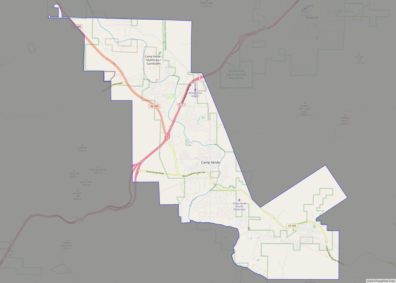
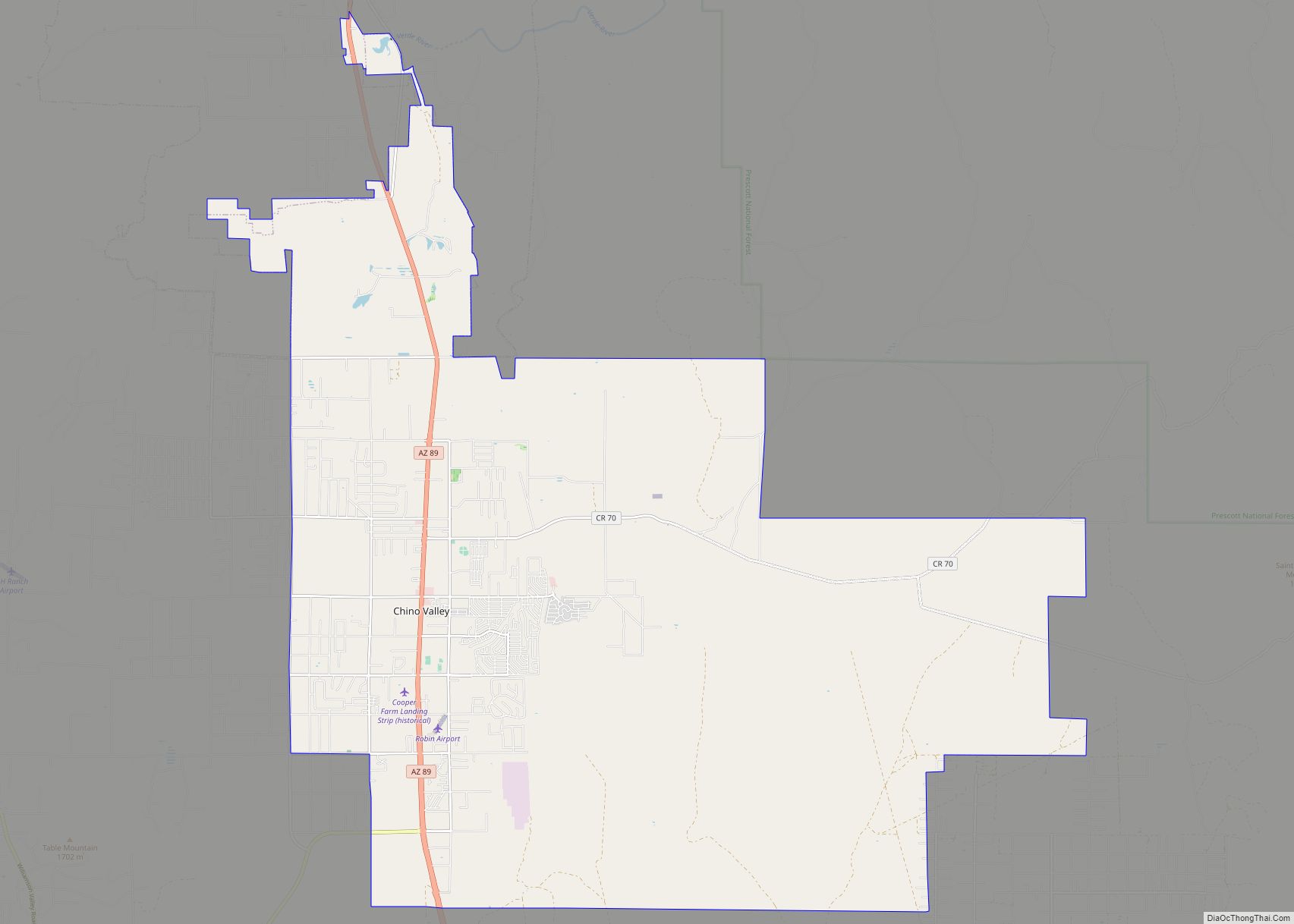
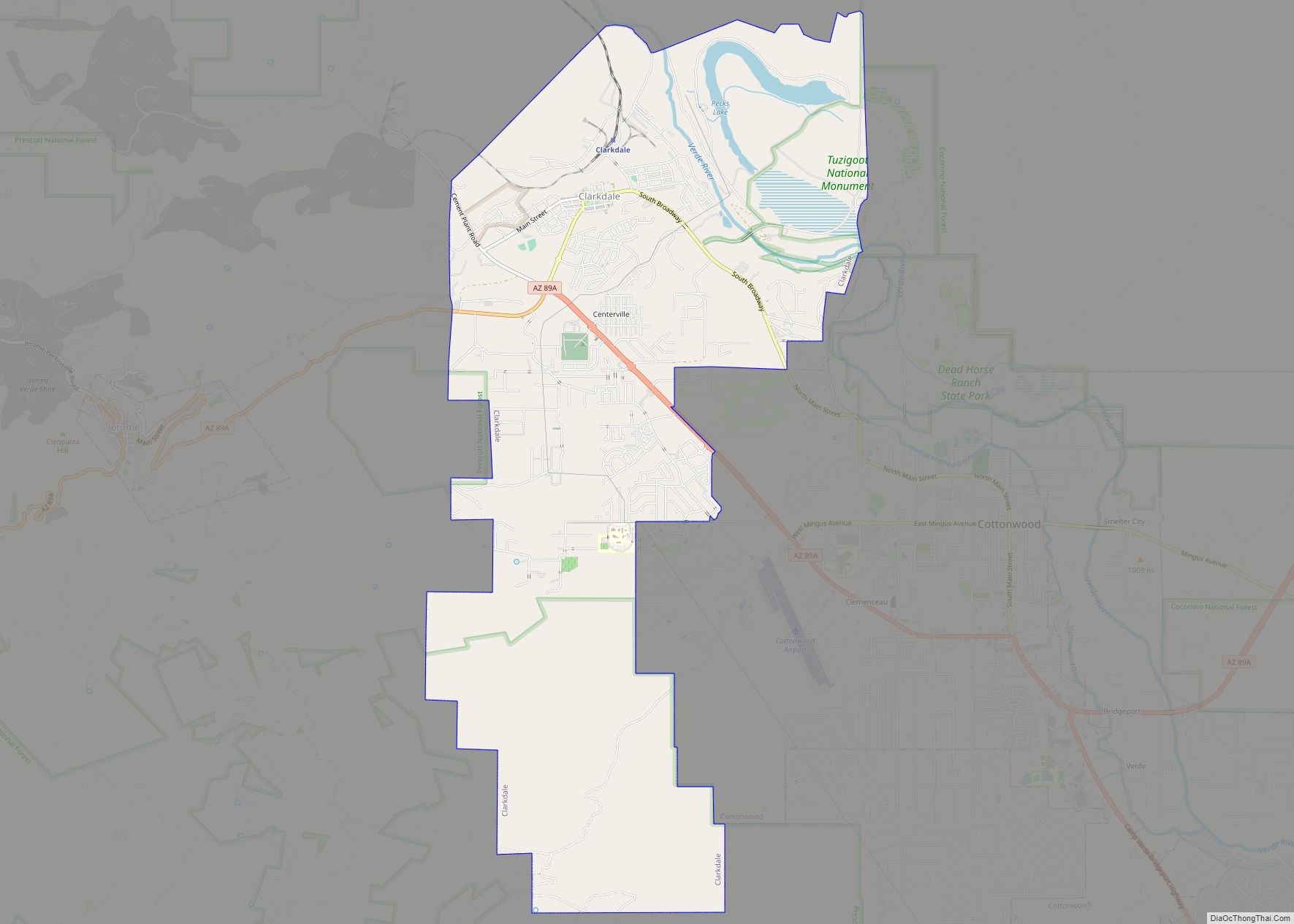
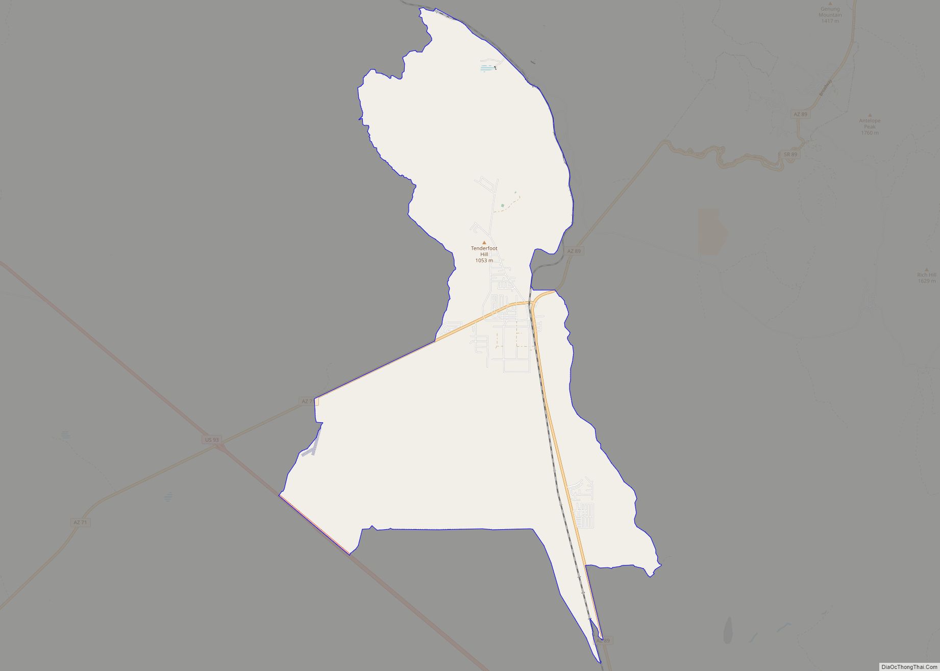
Online Interactive Map
Click on ![]() to view map in "full screen" mode.
to view map in "full screen" mode.
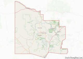
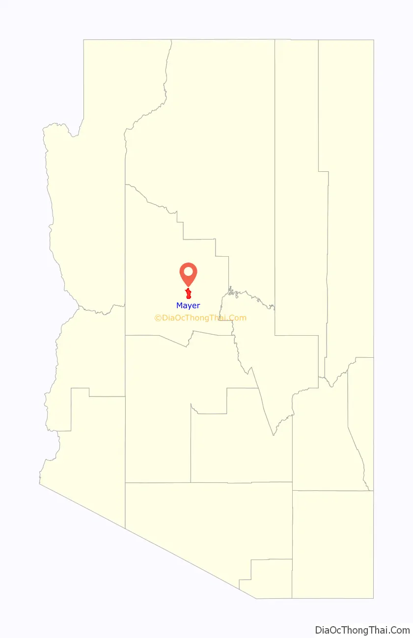
Mayer location map. Where is Mayer CDP?

History
The place was originally called Wi:kidoʼyoʼ in Yavapai. A local legend holds that the English name came from a runaway boy with the last name of Mayer. From May to June 1942, 245 Japanese Americans were confined at the Mayer Assembly Center, one of 17 temporary detention camps built to hold Japanese Americans removed from the West Coast after the U.S. entered World War II. The 69 families were mostly from Maricopa County’s Salt River Valley area, and lived in military-style barracks on the converted Civilian Conservation Corps camp for just under a month before being transferred to the more permanent and isolated internment camp at Poston, Arizona.
2017 wildfire
The Goodwin Fire sparked on June 24, 2017, in the Bradshaw Mountains near the town of Mayer, which days later led to the evacuations of more than 9,000 residents. The wildfire burned 28,516 acres of land. Highway 69 was closed between the towns of Mayer and Dewey-Humboldt. The fire destroyed approximately five structures and injured one firefighter.
Mayer Road Map
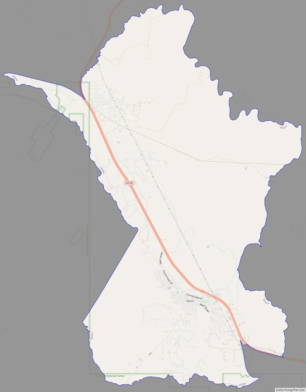
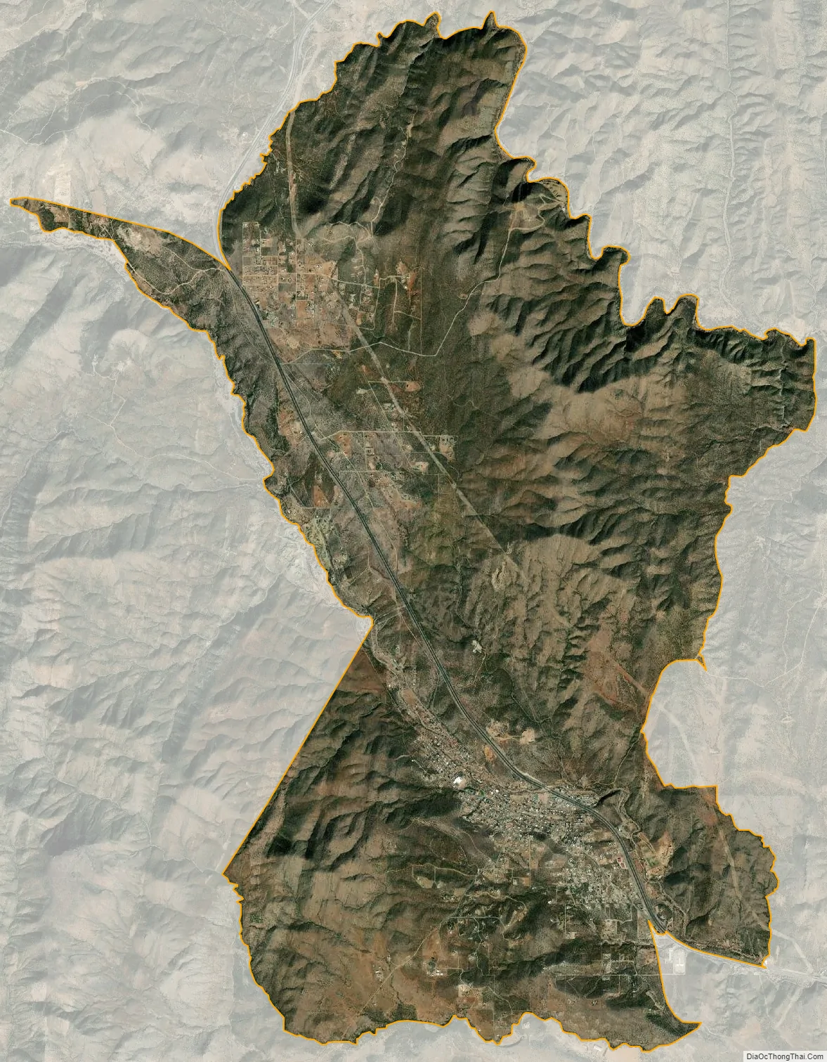
Mayer city Satellite Map
Geography
Mayer is located at 34°25′9″N 112°14′59″W / 34.41917°N 112.24972°W / 34.41917; -112.24972 (34.419154, −112.249779).
According to the United States Census Bureau, the CDP has a total area of 20.1 square miles (52 km), all land.
Climate
According to the Köppen Climate Classification system, Mayer has a semi-arid climate, abbreviated “BSk” on climate maps.
See also
Map of Arizona State and its subdivision: Map of other states:- Alabama
- Alaska
- Arizona
- Arkansas
- California
- Colorado
- Connecticut
- Delaware
- District of Columbia
- Florida
- Georgia
- Hawaii
- Idaho
- Illinois
- Indiana
- Iowa
- Kansas
- Kentucky
- Louisiana
- Maine
- Maryland
- Massachusetts
- Michigan
- Minnesota
- Mississippi
- Missouri
- Montana
- Nebraska
- Nevada
- New Hampshire
- New Jersey
- New Mexico
- New York
- North Carolina
- North Dakota
- Ohio
- Oklahoma
- Oregon
- Pennsylvania
- Rhode Island
- South Carolina
- South Dakota
- Tennessee
- Texas
- Utah
- Vermont
- Virginia
- Washington
- West Virginia
- Wisconsin
- Wyoming