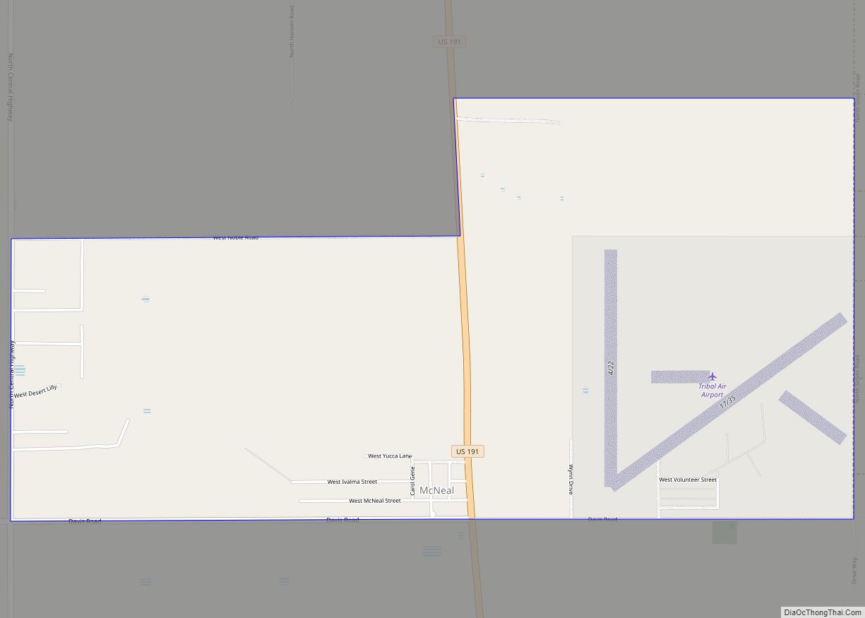
McNeal is an unincorporated community and census-designated place in Cochise County, Arizona, United States. As of the 2010 United States Census it had a population of 238. McNeal is located on U.S. Route 191, 21 miles (34 km) northwest of Douglas. McNeal has the United States Postal Service zip code of 85617.
| Name: | McNeal CDP |
|---|---|
| LSAD Code: | 57 |
| LSAD Description: | CDP (suffix) |
| State: | Arizona |
| County: | Cochise County |
| Elevation: | 4,170 ft (1,270 m) |
| Total Area: | 3.75 sq mi (9.71 km²) |
| Land Area: | 3.75 sq mi (9.71 km²) |
| Water Area: | 0.00 sq mi (0.00 km²) |
| Total Population: | 182 |
| Population Density: | 48.57/sq mi (18.75/km²) |
| ZIP code: | 85617 |
| Area code: | 520 |
| FIPS code: | 0443570 |
| GNISfeature ID: | 7855 |
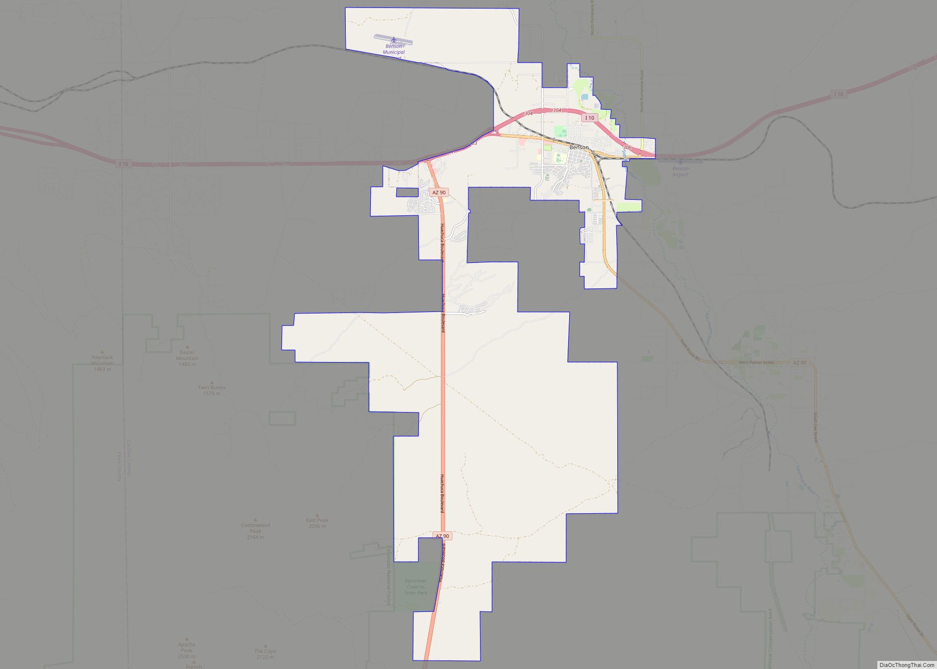
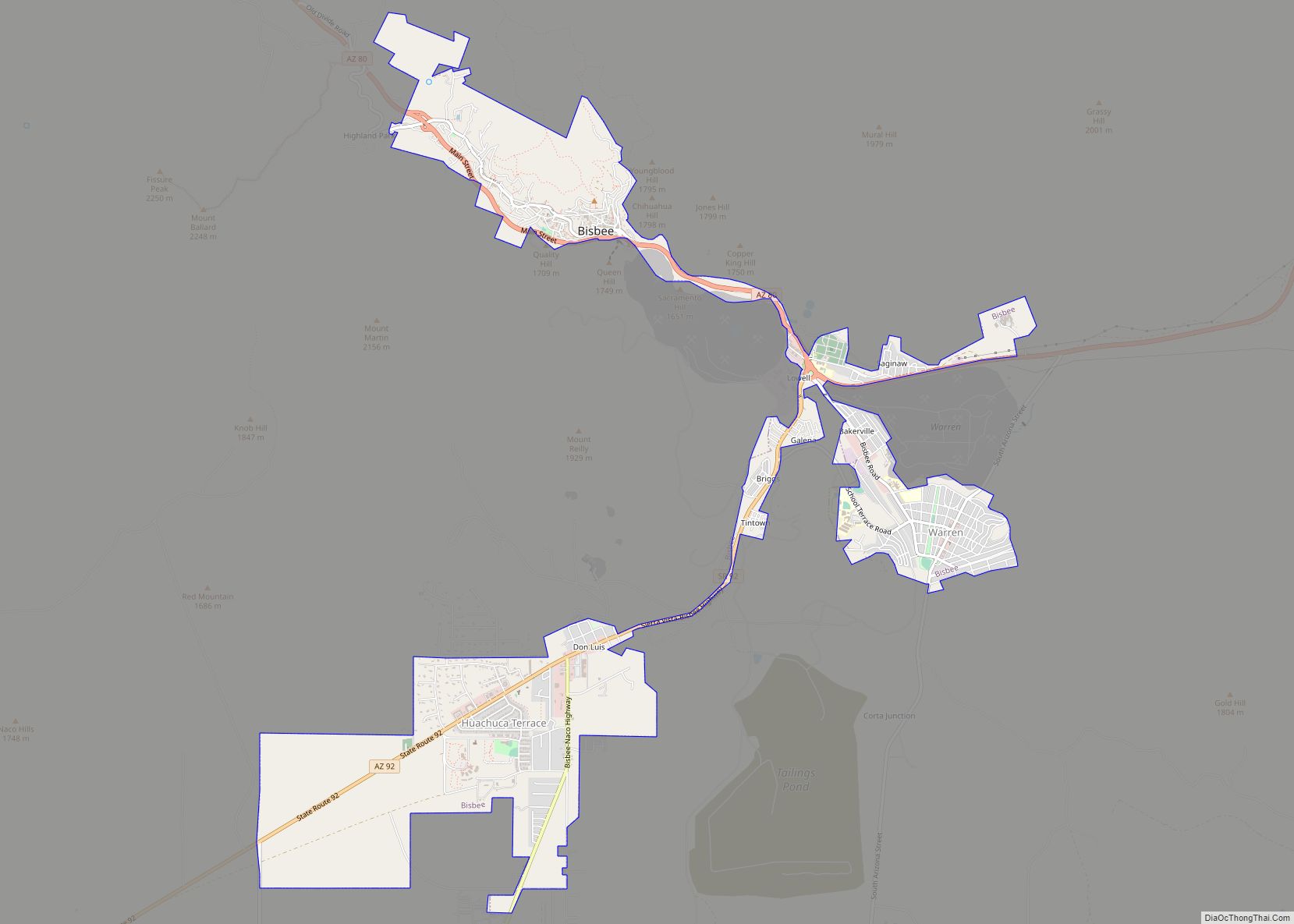
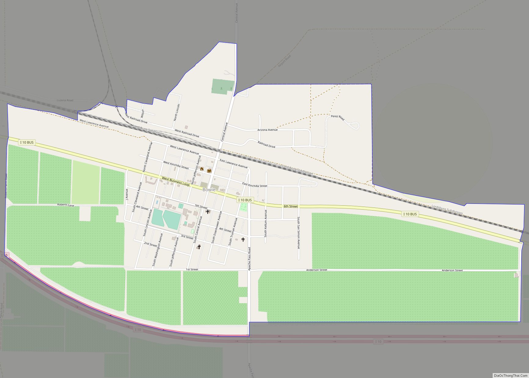
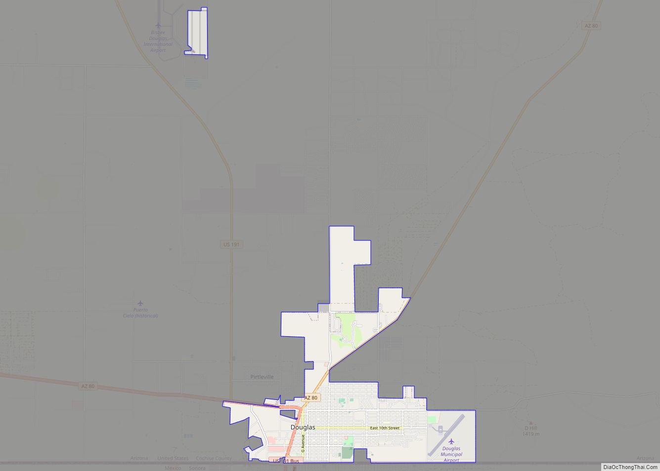
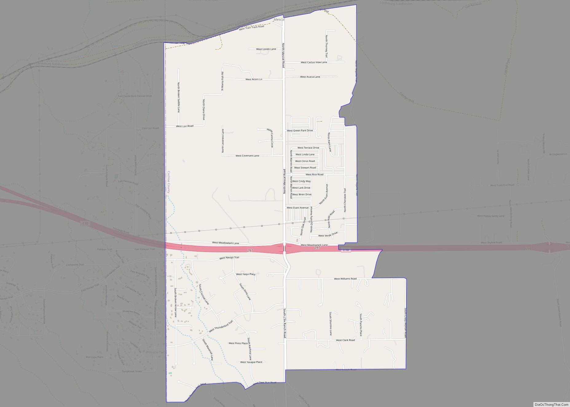
Online Interactive Map
Click on ![]() to view map in "full screen" mode.
to view map in "full screen" mode.
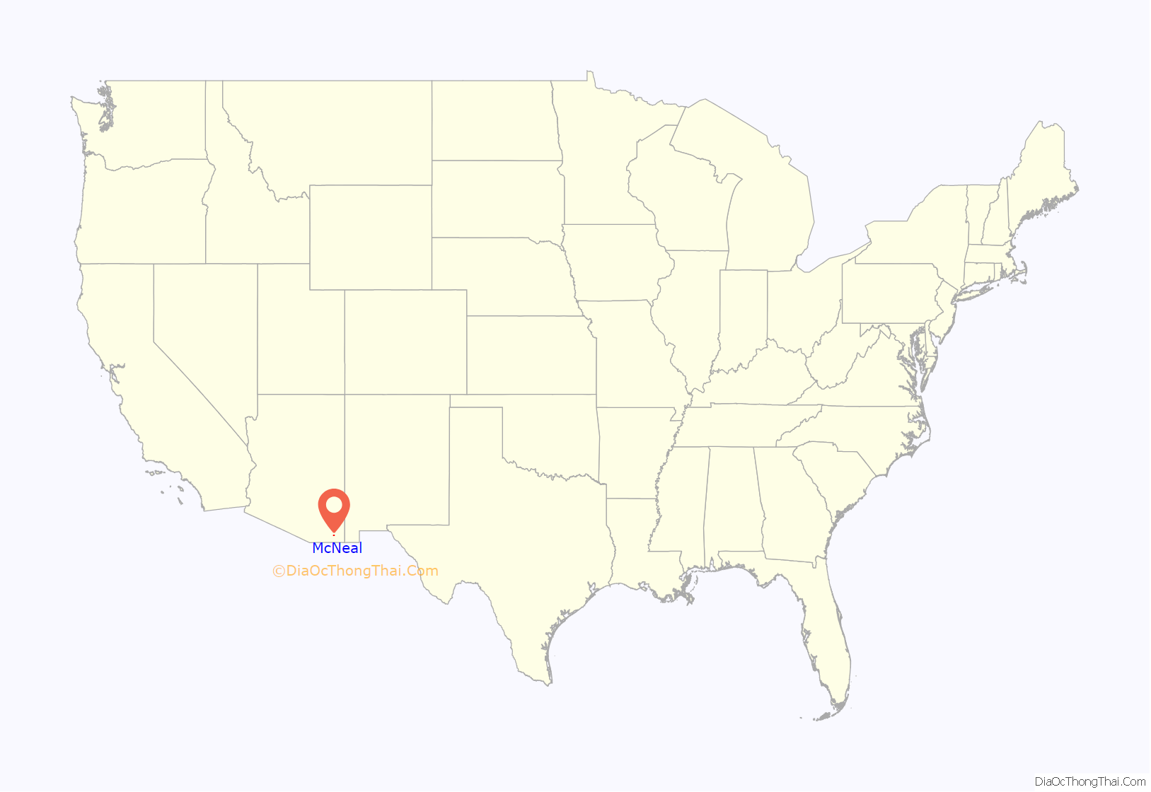
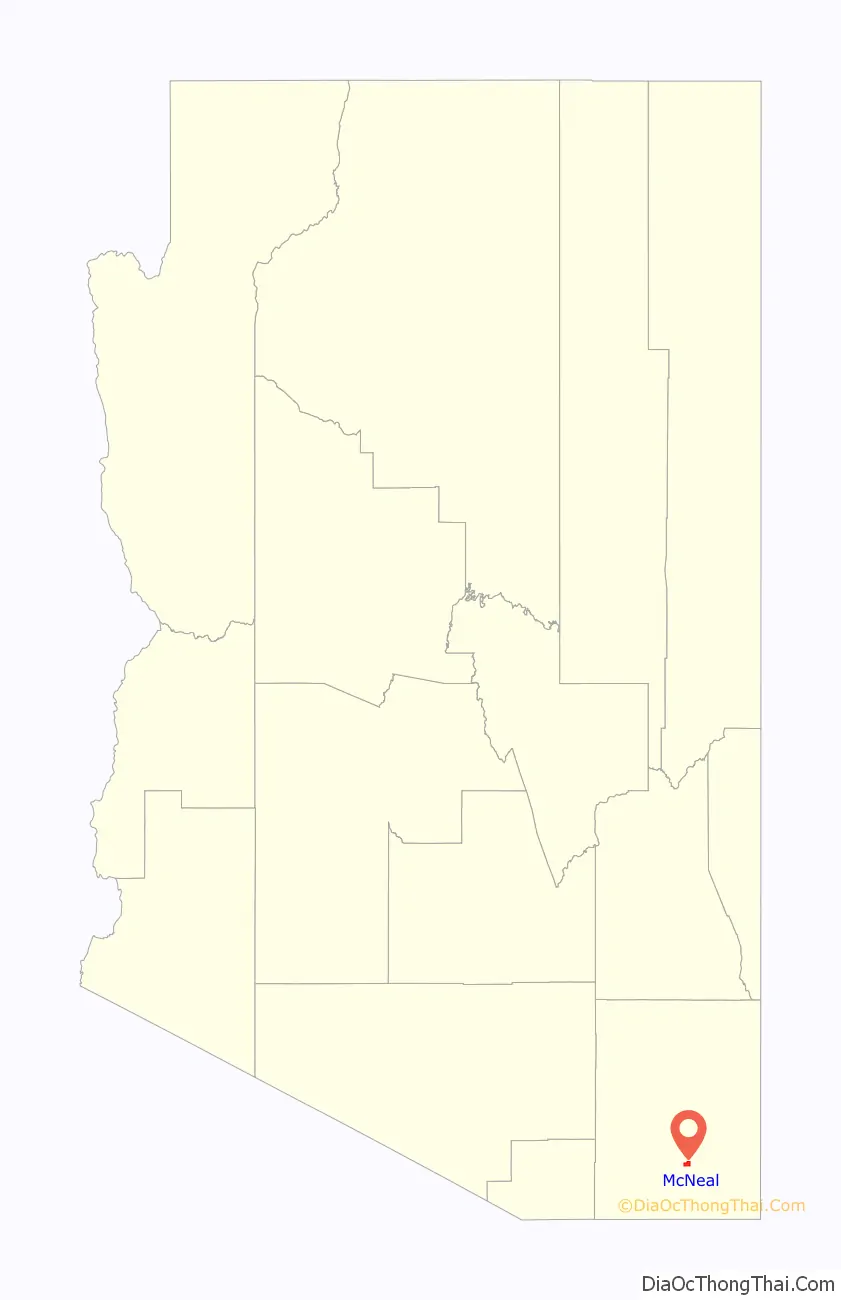
McNeal location map. Where is McNeal CDP?
McNeal Road Map
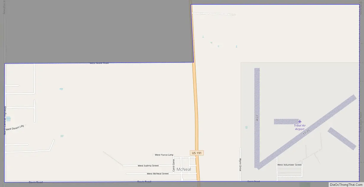
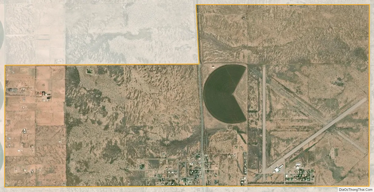
McNeal city Satellite Map
See also
Map of Arizona State and its subdivision: Map of other states:- Alabama
- Alaska
- Arizona
- Arkansas
- California
- Colorado
- Connecticut
- Delaware
- District of Columbia
- Florida
- Georgia
- Hawaii
- Idaho
- Illinois
- Indiana
- Iowa
- Kansas
- Kentucky
- Louisiana
- Maine
- Maryland
- Massachusetts
- Michigan
- Minnesota
- Mississippi
- Missouri
- Montana
- Nebraska
- Nevada
- New Hampshire
- New Jersey
- New Mexico
- New York
- North Carolina
- North Dakota
- Ohio
- Oklahoma
- Oregon
- Pennsylvania
- Rhode Island
- South Carolina
- South Dakota
- Tennessee
- Texas
- Utah
- Vermont
- Virginia
- Washington
- West Virginia
- Wisconsin
- Wyoming