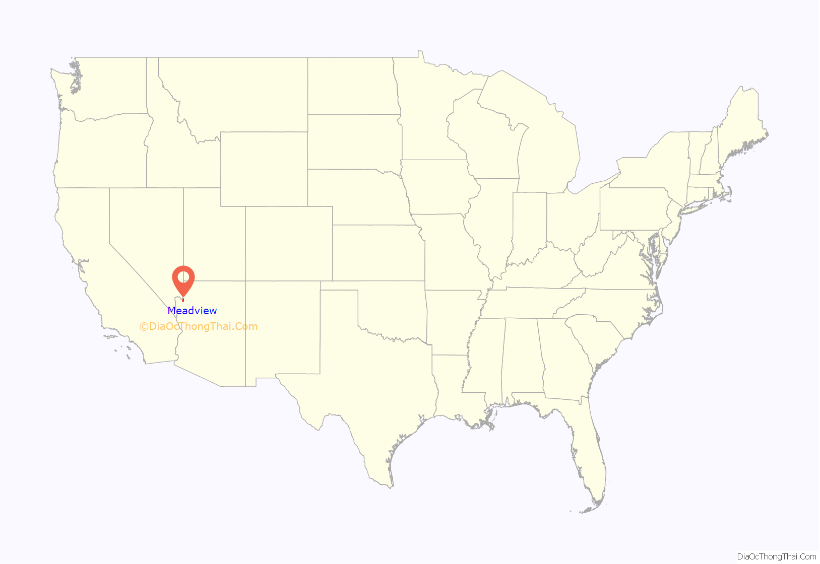
Meadview is an unincorporated community and census-designated place (CDP) in Mohave County, Arizona, United States, located near Lake Mead. As of the 2020 census, Meadview had 1,420 residents, up from 1,224 as of 2010. It was founded in the 1960s as a retirement community and is still largely one, as well as a vacation spot for people coming to enjoy Lake Mead.
| Name: | Meadview CDP |
|---|---|
| LSAD Code: | 57 |
| LSAD Description: | CDP (suffix) |
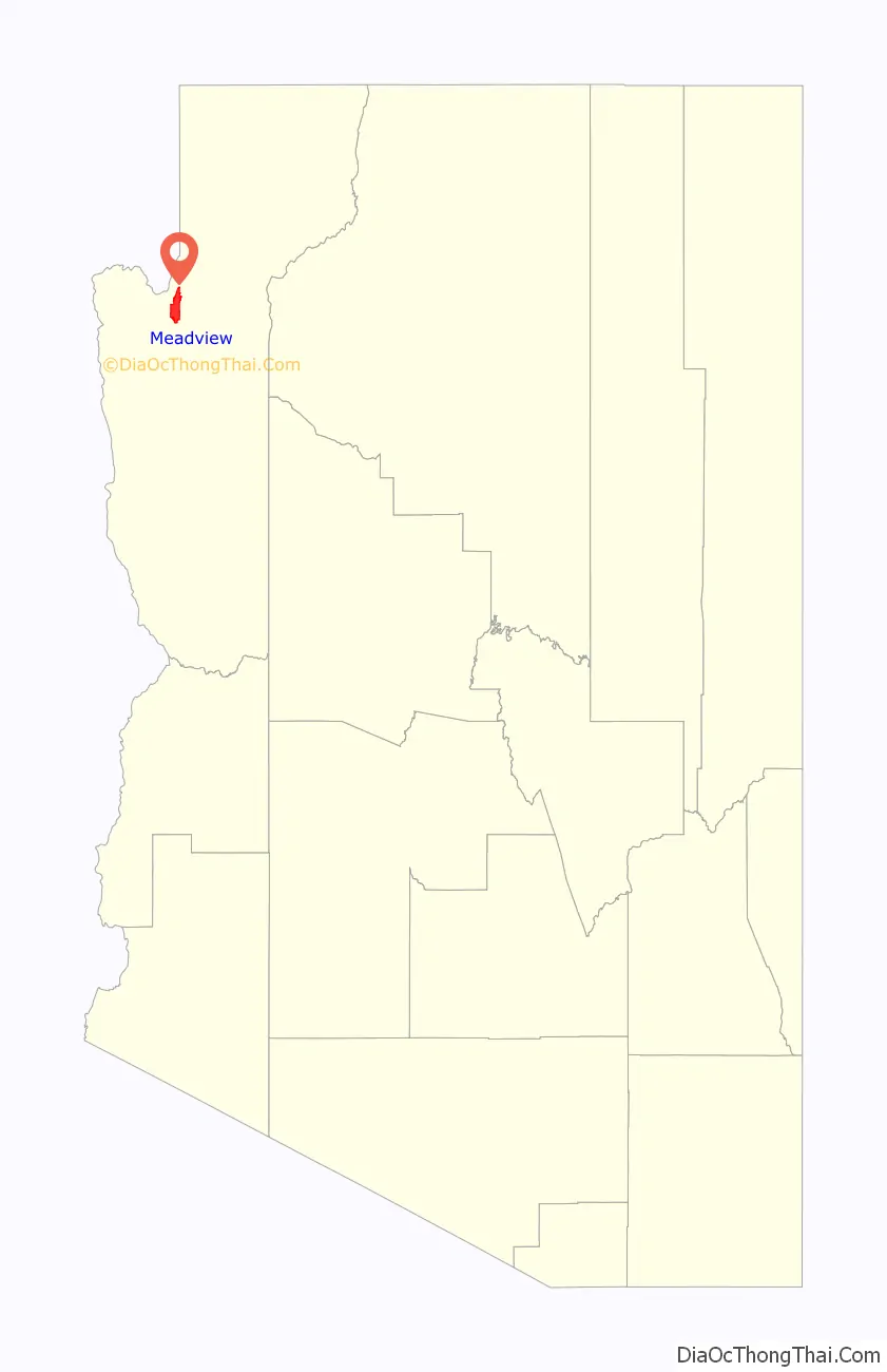
| State: | Arizona |
| County: | Mohave County |
| Elevation: | 2,986 ft (910 m) |
| Total Area: | 31.04 sq mi (80.39 km²) |
| Land Area: | 31.04 sq mi (80.39 km²) |
| Water Area: | 0.00 sq mi (0.00 km²) |
| Total Population: | 1,420 |
| Population Density: | 45.75/sq mi (17.66/km²) |
| ZIP code: | 86444 |
| Area code: | 928 |
| FIPS code: | 0445285 |
| GNISfeature ID: | 43037 |
Online Interactive Map
Click on ![]() to view map in "full screen" mode.
to view map in "full screen" mode.
Meadview location map. Where is Meadview CDP?
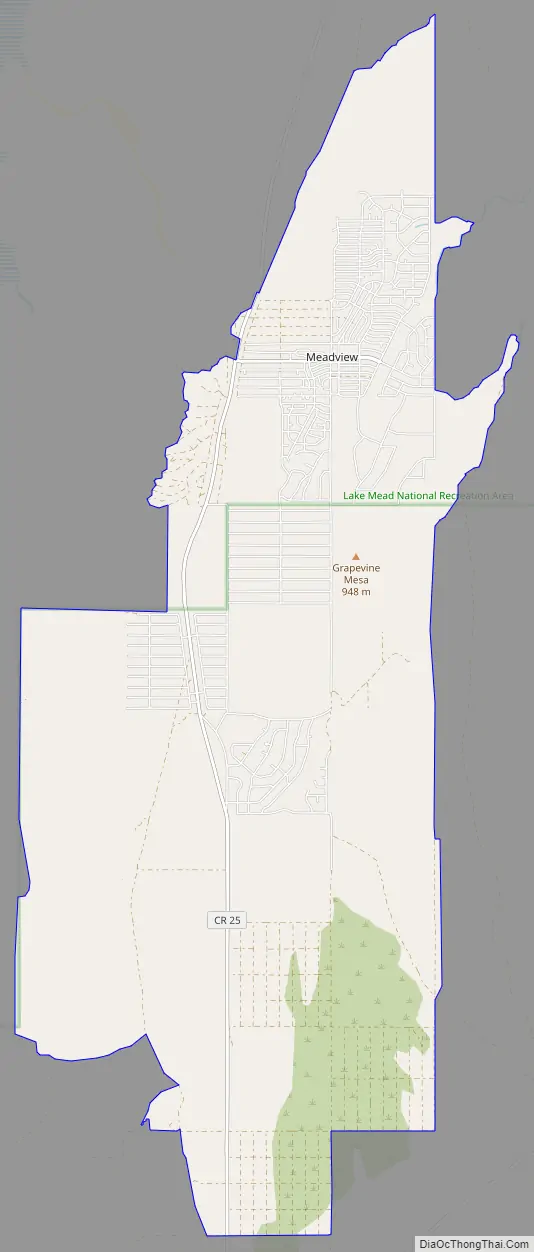
Meadview Road Map
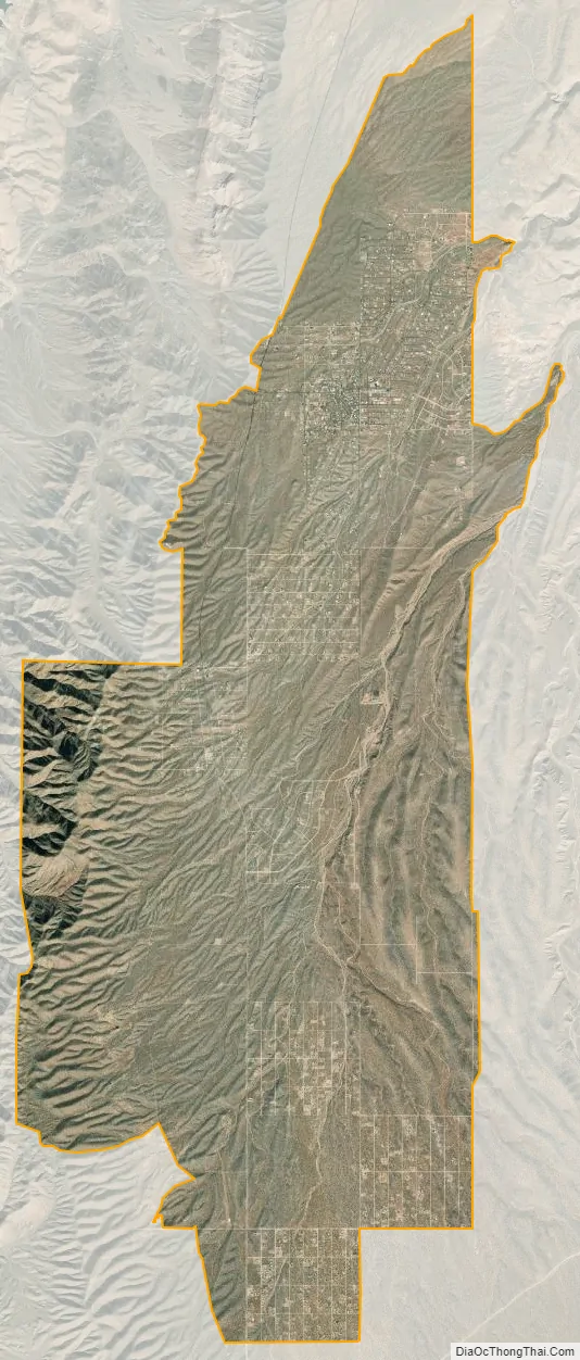
Meadview city Satellite Map
Geography
Meadview is located in northern Mohave County at 36°0′N 114°4′W / 36.000°N 114.067°W / 36.000; -114.067 (36.00222, -114.0675) at an elevation of 3,500 feet (1,100 m). It is 67 miles (108 km) north of Kingman, the county seat, via Pierce Ferry Road. From the road it is possible to see Lake Mead to the west, 3 miles (5 km) distant. Road access to the lake is 11 miles (18 km) to the north. Pearce Ferry on the Colorado River, at the west end of the Grand Canyon, is 14 miles (23 km) north of Meadview.
According to the United States Census Bureau, the Meadview CDP has an area of 31.0 square miles (80 km), all land.
Climate
According to the Köppen Climate Classification system, Meadview has a hot desert climate, abbreviated “BWk” on climate maps.
See also
Map of Arizona State and its subdivision: Map of other states:- Alabama
- Alaska
- Arizona
- Arkansas
- California
- Colorado
- Connecticut
- Delaware
- District of Columbia
- Florida
- Georgia
- Hawaii
- Idaho
- Illinois
- Indiana
- Iowa
- Kansas
- Kentucky
- Louisiana
- Maine
- Maryland
- Massachusetts
- Michigan
- Minnesota
- Mississippi
- Missouri
- Montana
- Nebraska
- Nevada
- New Hampshire
- New Jersey
- New Mexico
- New York
- North Carolina
- North Dakota
- Ohio
- Oklahoma
- Oregon
- Pennsylvania
- Rhode Island
- South Carolina
- South Dakota
- Tennessee
- Texas
- Utah
- Vermont
- Virginia
- Washington
- West Virginia
- Wisconsin
- Wyoming


