Mescal is a Census-designated place located in Cochise County, Arizona, United States.
Mescal was originally a populated place, at a rail station on the Southern Pacific Railroad at an elevation of 4,085 feet. The modern community lies to the south of the railroad near Interstate 10, at 4,170 feet. Mescal had a population of 1,812 in the 2010 Census. Mescal had a post office from 1913 until 1931.
Mescal appears on the Mescal U.S. Geological Survey Map.
| Name: | Mescal CDP |
|---|---|
| LSAD Code: | 57 |
| LSAD Description: | CDP (suffix) |
| State: | Arizona |
| County: | Cochise County |
| Elevation: | 4,085 ft (1,245 m) |
| Total Area: | 4.93 sq mi (12.77 km²) |
| Land Area: | 4.92 sq mi (12.76 km²) |
| Water Area: | 0.01 sq mi (0.01 km²) |
| Total Population: | 1,751 |
| Population Density: | 355.53/sq mi (137.26/km²) |
| ZIP code: | 85602 |
| Area code: | 520 |
| FIPS code: | 0446070 |
| GNISfeature ID: | 31744 |
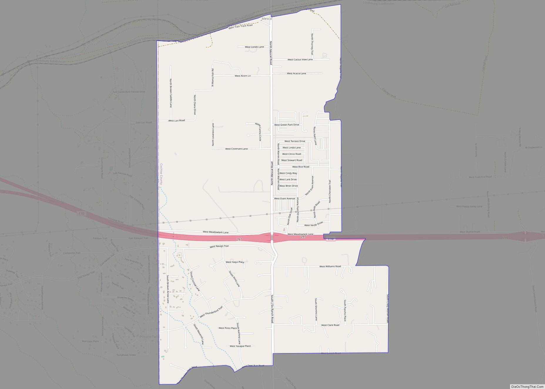
Online Interactive Map
Click on ![]() to view map in "full screen" mode.
to view map in "full screen" mode.
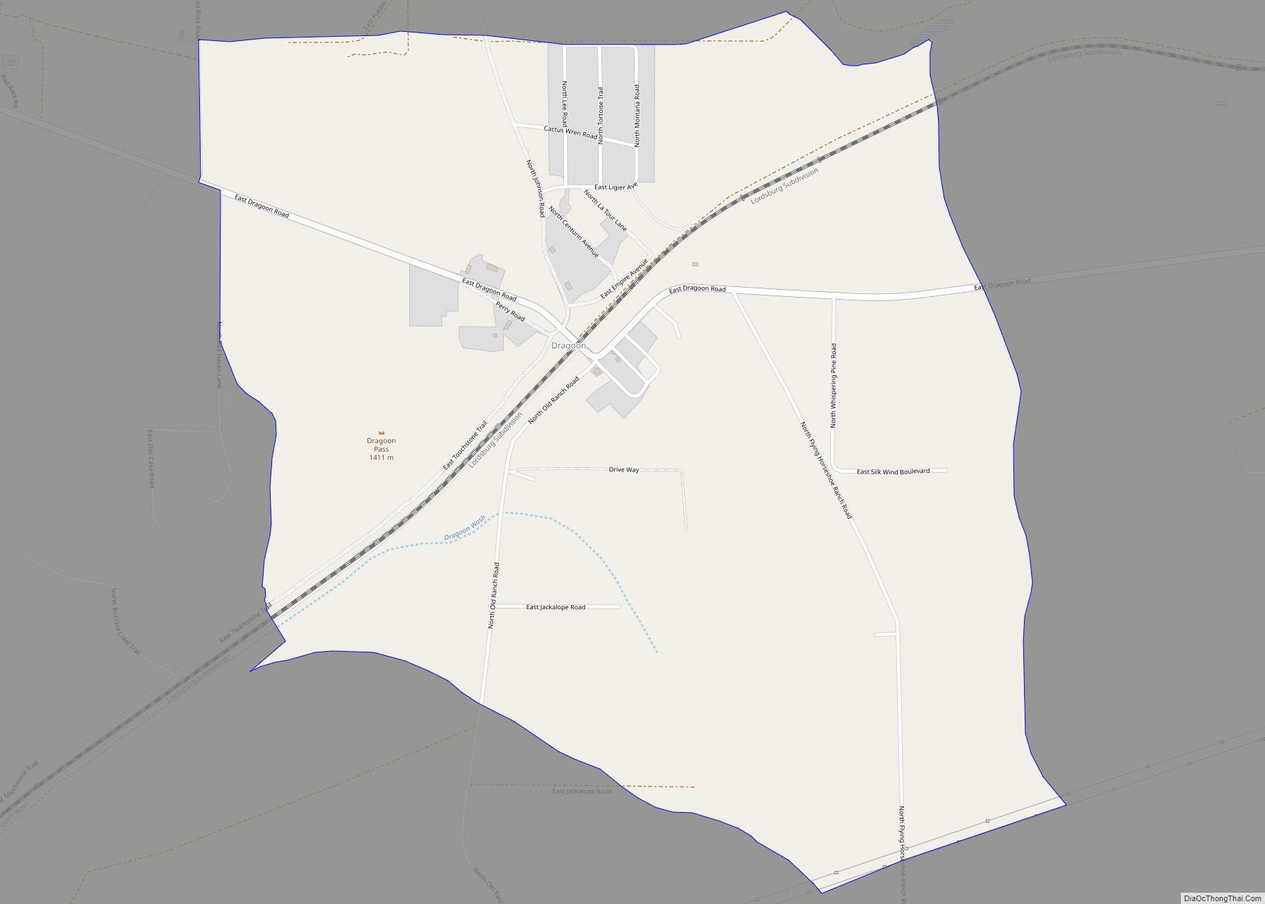
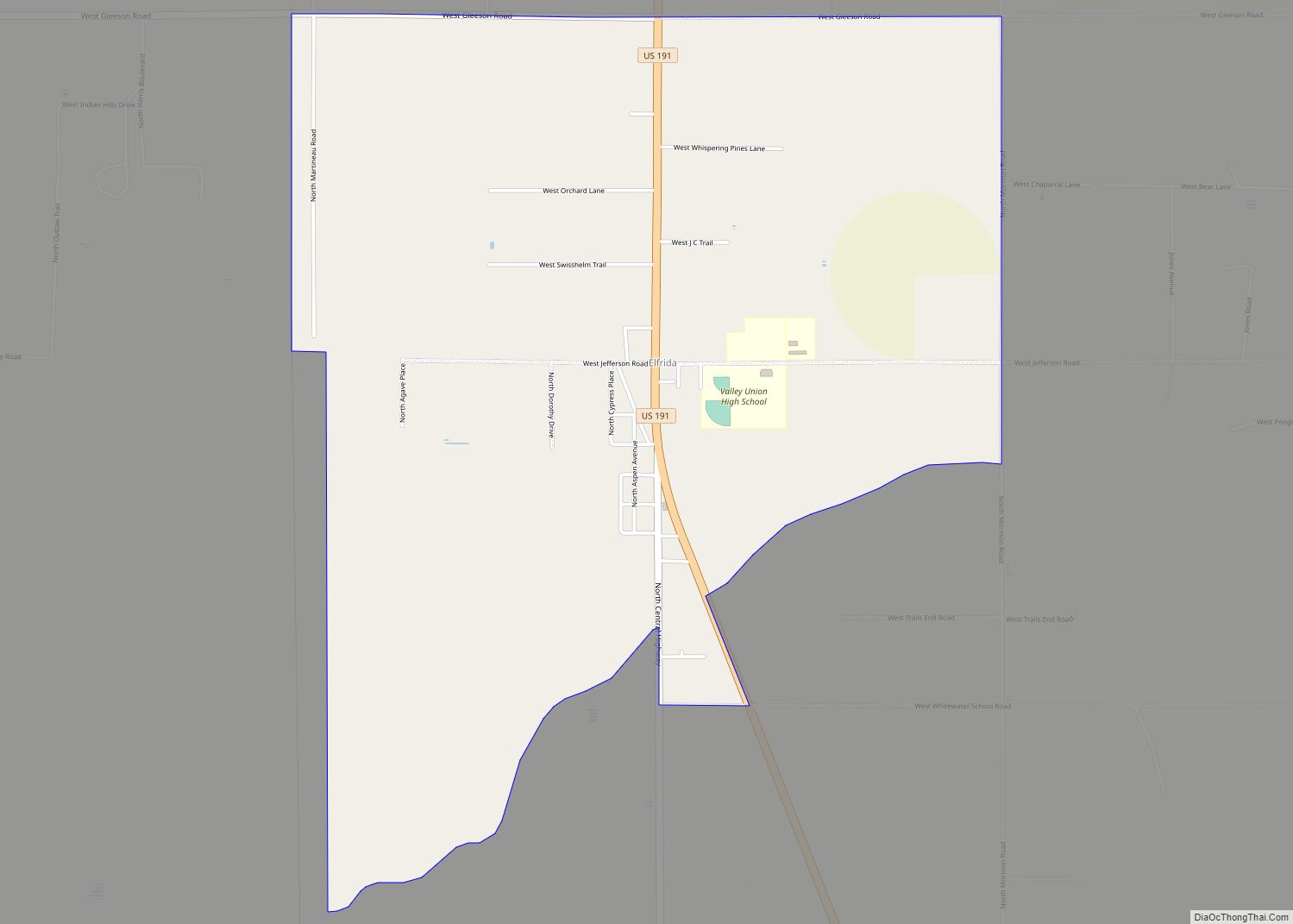
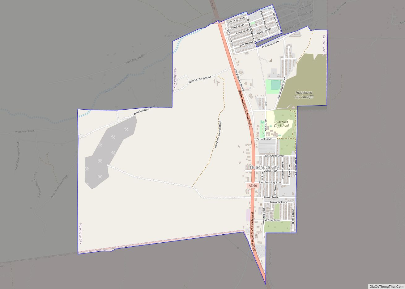
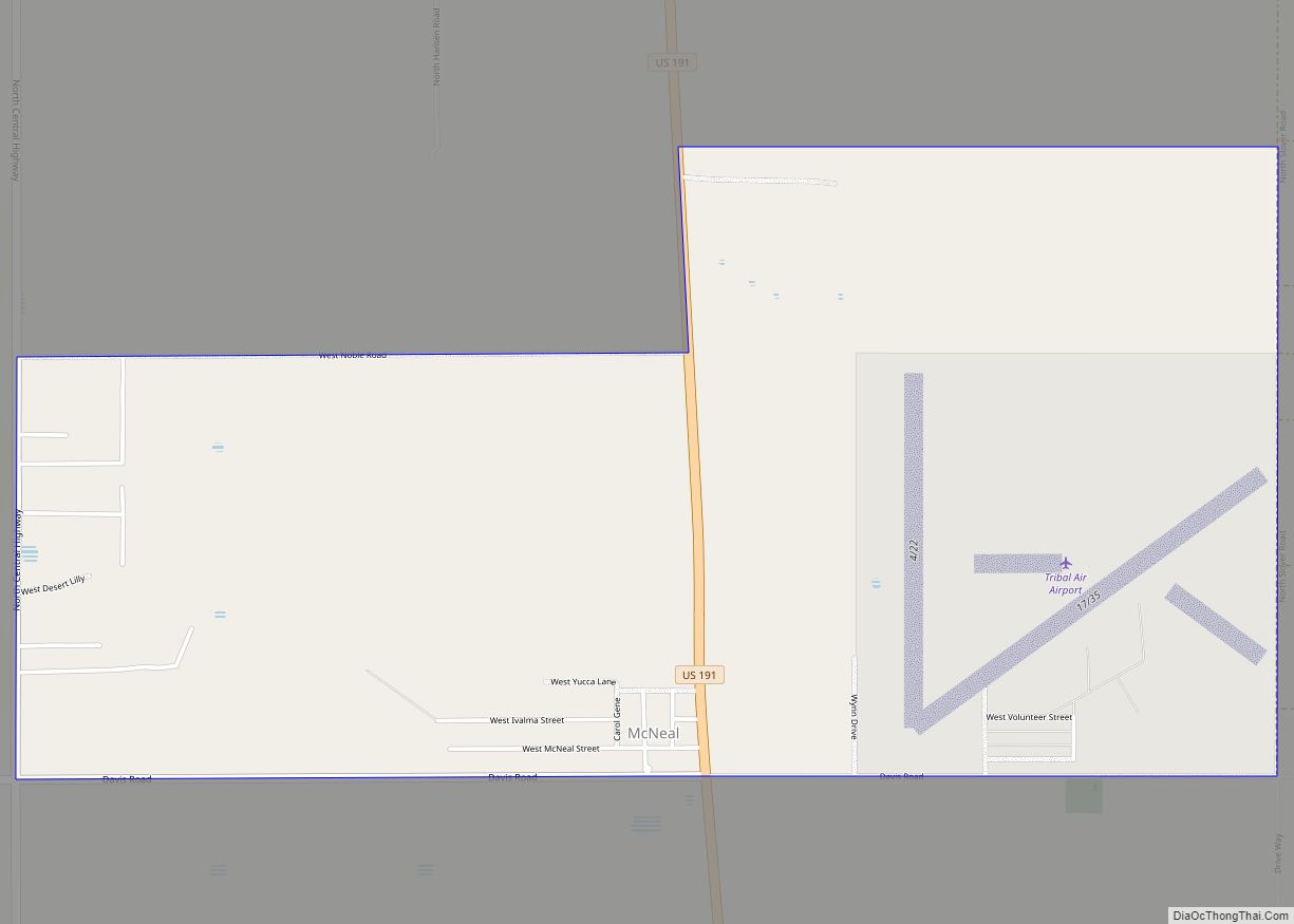
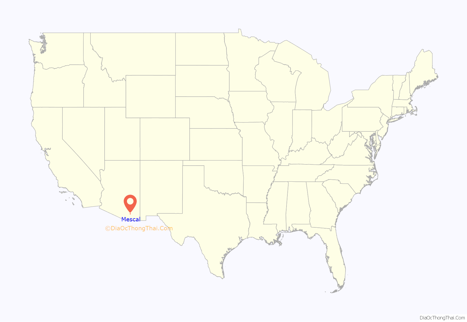
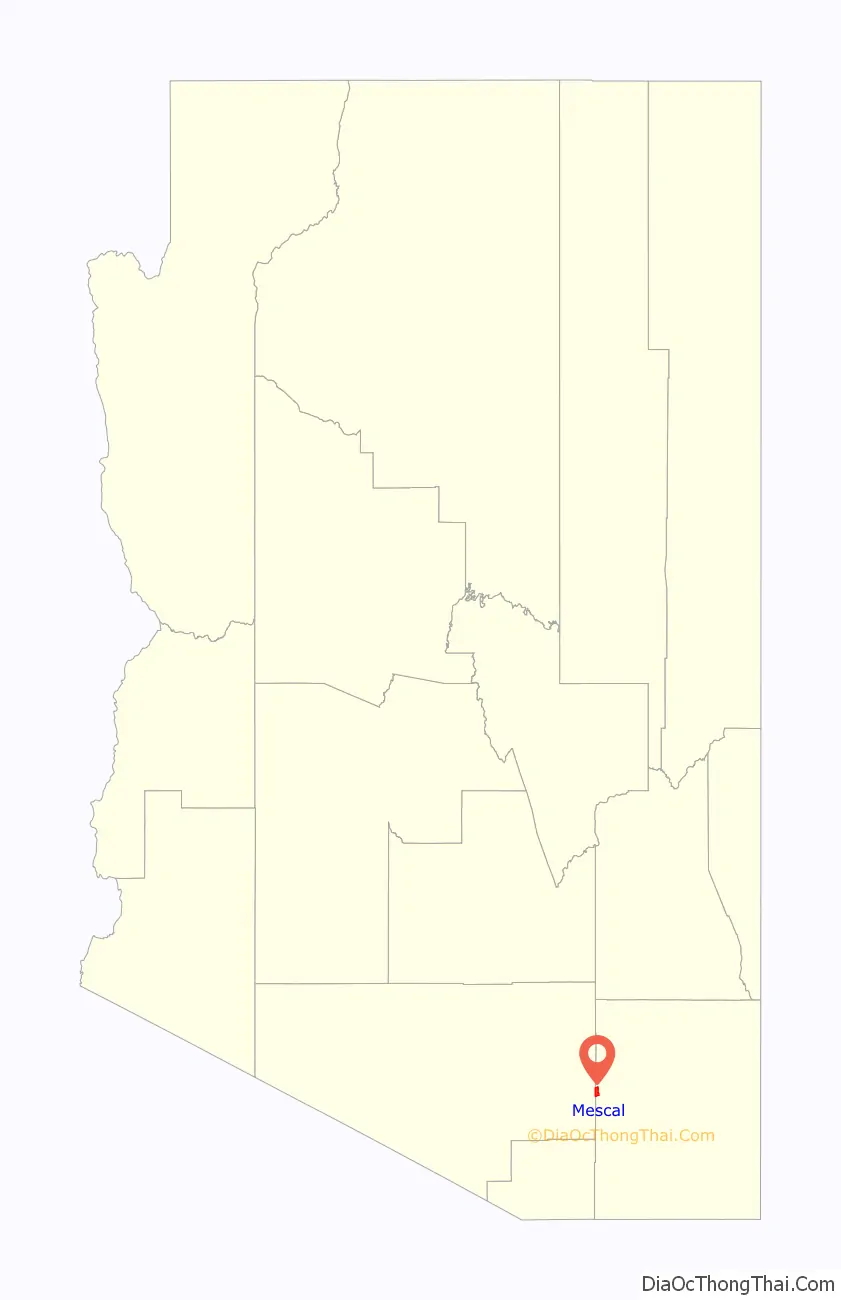
Mescal location map. Where is Mescal CDP?
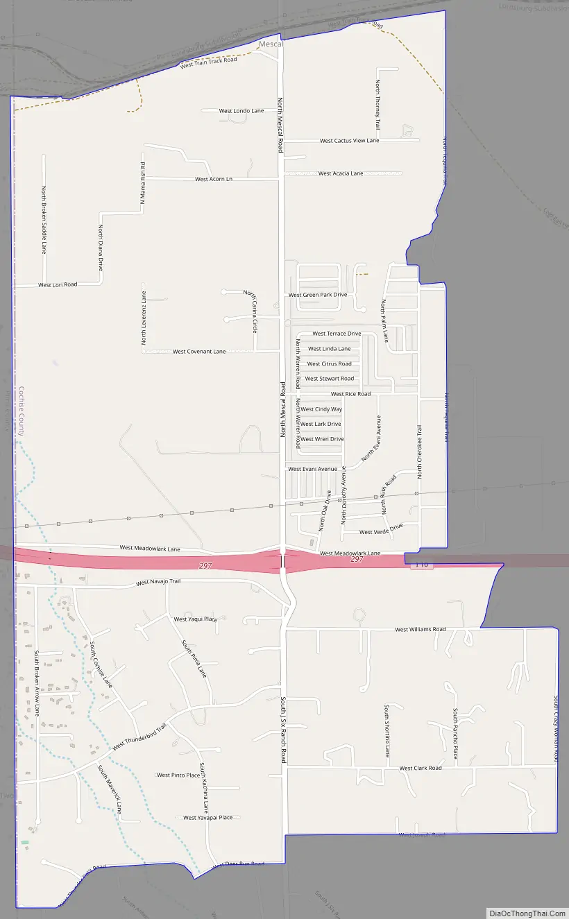
Mescal Road Map
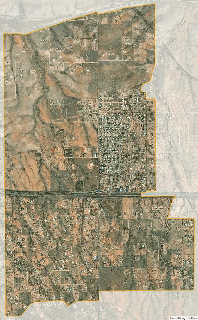
Mescal city Satellite Map
See also
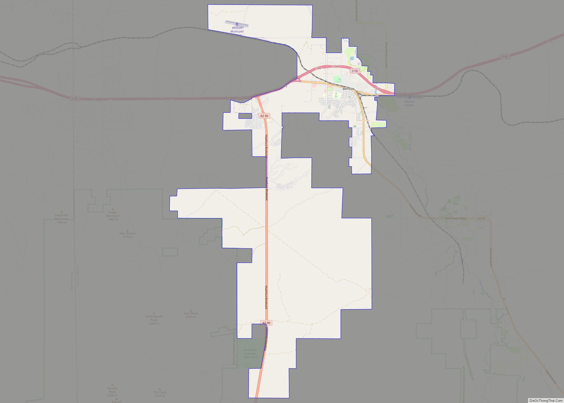
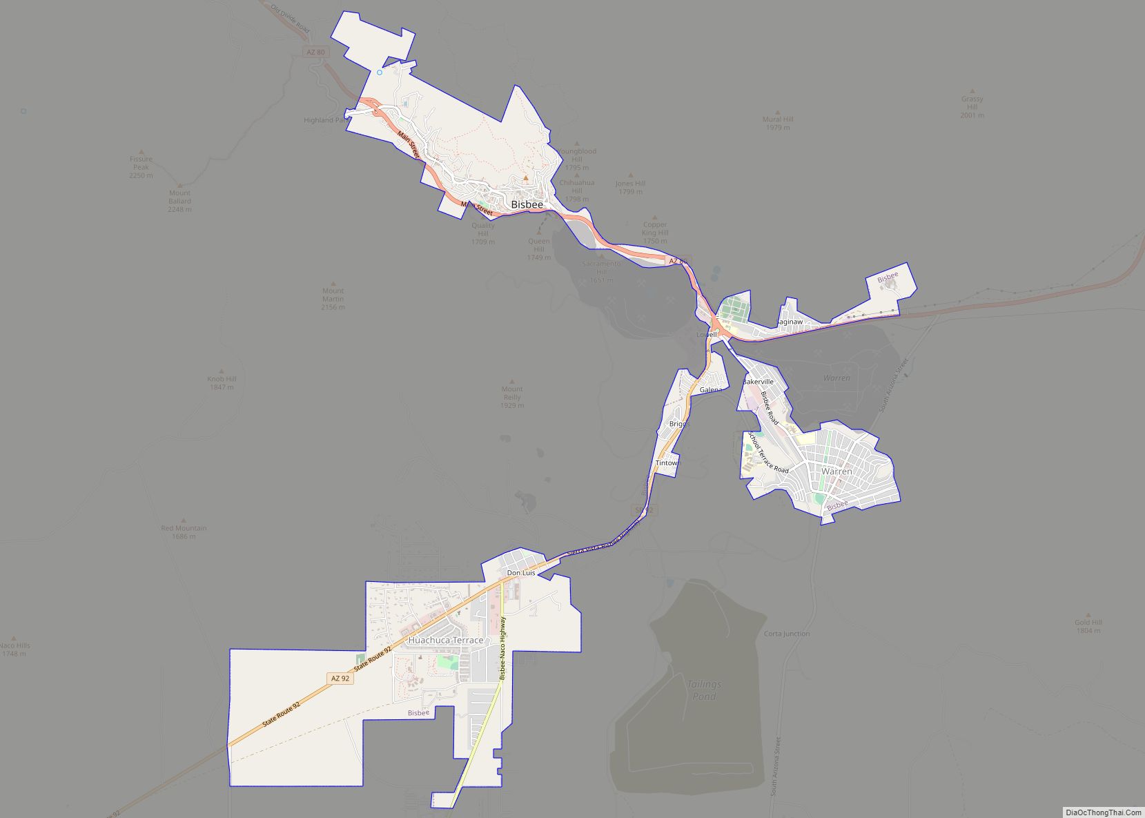
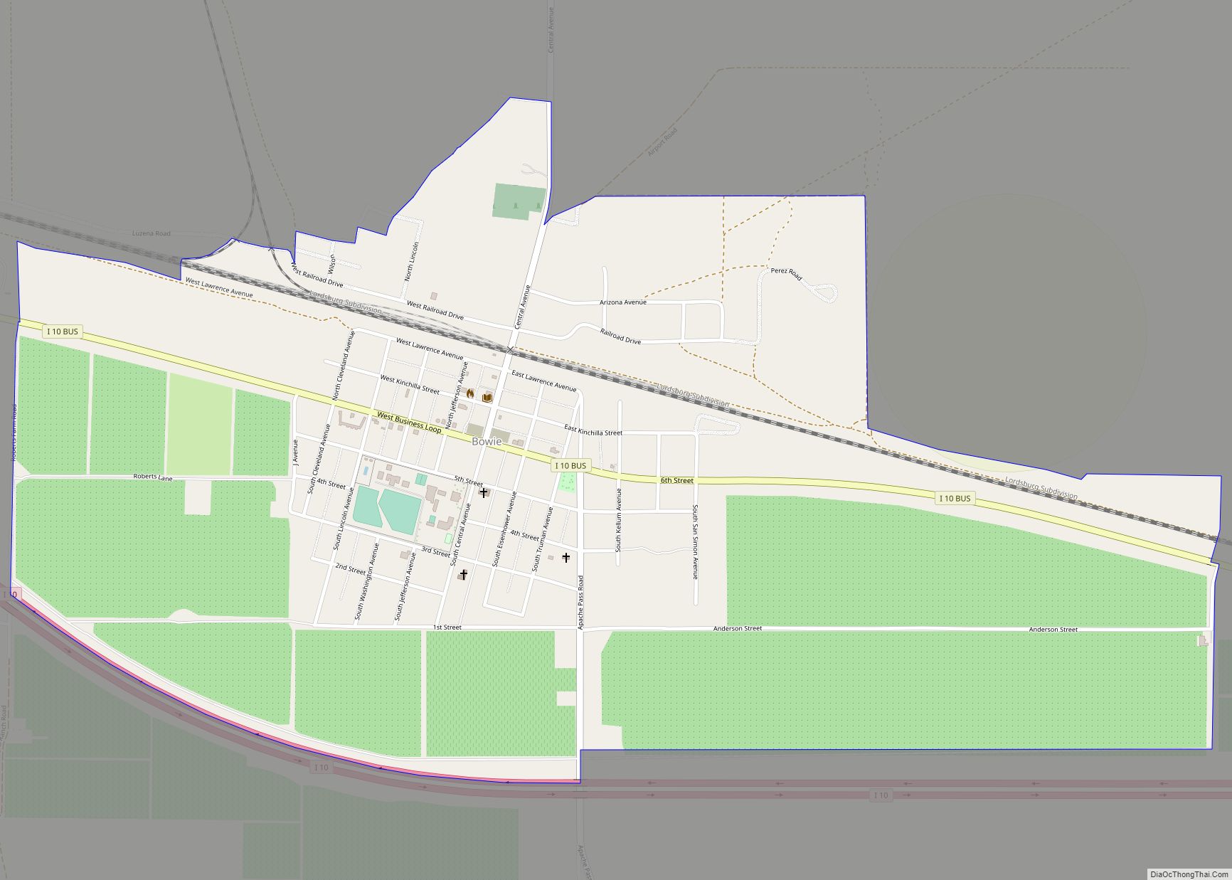
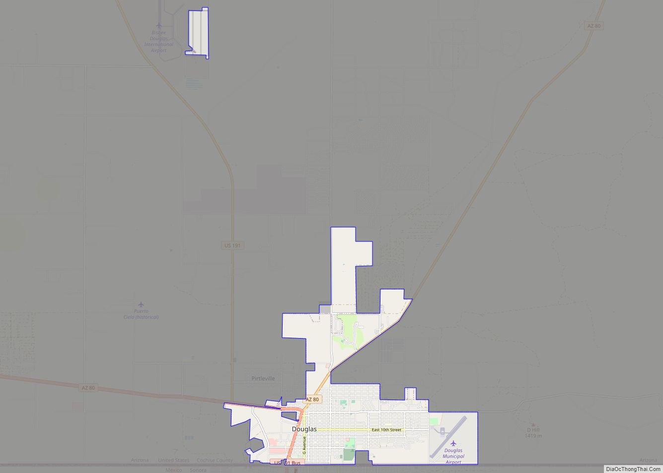
Map of Arizona State and its subdivision: Map of other states:- Alabama
- Alaska
- Arizona
- Arkansas
- California
- Colorado
- Connecticut
- Delaware
- District of Columbia
- Florida
- Georgia
- Hawaii
- Idaho
- Illinois
- Indiana
- Iowa
- Kansas
- Kentucky
- Louisiana
- Maine
- Maryland
- Massachusetts
- Michigan
- Minnesota
- Mississippi
- Missouri
- Montana
- Nebraska
- Nevada
- New Hampshire
- New Jersey
- New Mexico
- New York
- North Carolina
- North Dakota
- Ohio
- Oklahoma
- Oregon
- Pennsylvania
- Rhode Island
- South Carolina
- South Dakota
- Tennessee
- Texas
- Utah
- Vermont
- Virginia
- Washington
- West Virginia
- Wisconsin
- Wyoming