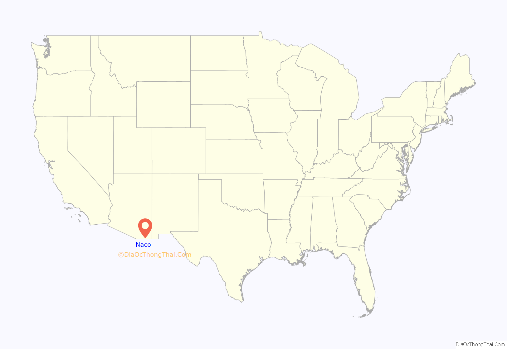
Naco, a Census-Designated Place (CDP) located in Cochise County, Arizona, United States had a recorded population of 1,046 during the 2010 census. It is located directly across the United States–Mexico border from its sister city Naco, Sonora. Naco is best known for an accidental 1929 air raid and is the first and only municipality in the Continental United States to have been aerially bombed by foreigners.
The present-day unincorporated town of Naco, Arizona, was established in the early 20th century. The area was originally settled by the Nahua and Opata Indians. Naco means “nopal cactus” in the Opata language. The U.S. Congress officially established Naco as a Port of Entry on June 28, 1902. Today, the Naco port of entry is open 24 hours per day.
Occasionally the people on both sides of the border use the border fence as the net in a volleyball game.
| Name: | Naco CDP |
|---|---|
| LSAD Code: | 57 |
| LSAD Description: | CDP (suffix) |
| State: | Arizona |
| County: | Cochise County |
| Elevation: | 4,610 ft (1,405 m) |
| Total Area: | 3.23 sq mi (8.37 km²) |
| Land Area: | 3.23 sq mi (8.37 km²) |
| Water Area: | 0.00 sq mi (0.00 km²) |
| Total Population: | 824 |
| Population Density: | 254.95/sq mi (98.45/km²) |
| ZIP code: | 85620 |
| Area code: | 520 |
| FIPS code: | 0448310 |
| GNISfeature ID: | 0008475 |
Online Interactive Map
Click on ![]() to view map in "full screen" mode.
to view map in "full screen" mode.
Naco location map. Where is Naco CDP?
Naco Road Map
Naco city Satellite Map
Geography
Naco is located at 31°20′14″N 109°56′40″W / 31.33722°N 109.94444°W / 31.33722; -109.94444 (31.337287, −109.944461). According to the United States Census Bureau, the CDP has a total area of 3.4 square miles (8.8 km), all land.
See also
Map of Arizona State and its subdivision: Map of other states:- Alabama
- Alaska
- Arizona
- Arkansas
- California
- Colorado
- Connecticut
- Delaware
- District of Columbia
- Florida
- Georgia
- Hawaii
- Idaho
- Illinois
- Indiana
- Iowa
- Kansas
- Kentucky
- Louisiana
- Maine
- Maryland
- Massachusetts
- Michigan
- Minnesota
- Mississippi
- Missouri
- Montana
- Nebraska
- Nevada
- New Hampshire
- New Jersey
- New Mexico
- New York
- North Carolina
- North Dakota
- Ohio
- Oklahoma
- Oregon
- Pennsylvania
- Rhode Island
- South Carolina
- South Dakota
- Tennessee
- Texas
- Utah
- Vermont
- Virginia
- Washington
- West Virginia
- Wisconsin
- Wyoming
