Peach Springs (Walapai: Hàkđugwi:v) is a census-designated place (CDP) in Mohave County, Arizona, United States. The population was 1,098 at the 2020 census. Peach Springs serves as the administrative headquarters of the Hualapai people and is located on the Hualapai Reservation.
| Name: | Peach Springs CDP |
|---|---|
| LSAD Code: | 57 |
| LSAD Description: | CDP (suffix) |
| State: | Arizona |
| County: | Mohave County |
| Elevation: | 4,780 ft (1,457 m) |
| Total Area: | 7.91 sq mi (20.50 km²) |
| Land Area: | 7.91 sq mi (20.50 km²) |
| Water Area: | 0.00 sq mi (0.00 km²) |
| Total Population: | 1,098 |
| Population Density: | 138.74/sq mi (53.57/km²) |
| ZIP code: | 86434 |
| Area code: | 928 |
| FIPS code: | 0453770 |
| GNISfeature ID: | 9278 |
Online Interactive Map
Click on ![]() to view map in "full screen" mode.
to view map in "full screen" mode.
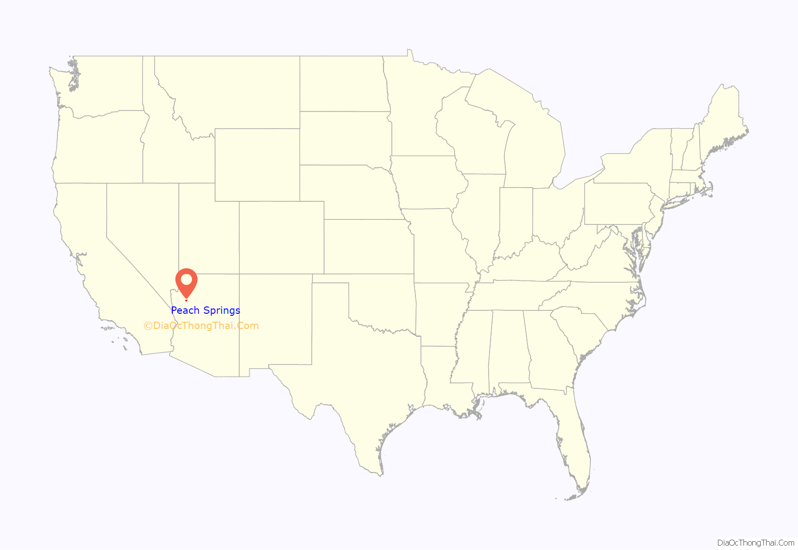
Peach Springs location map. Where is Peach Springs CDP?
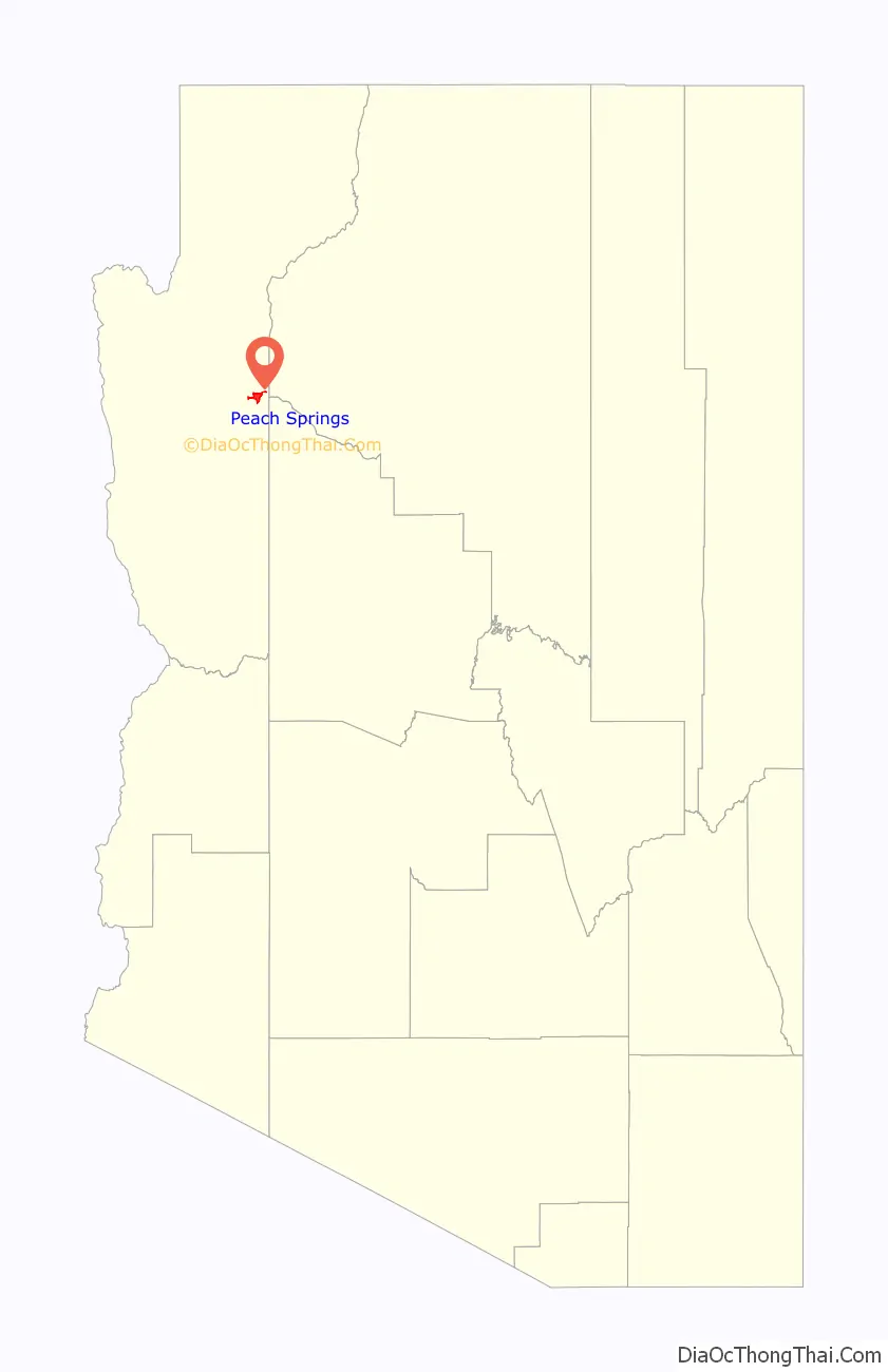
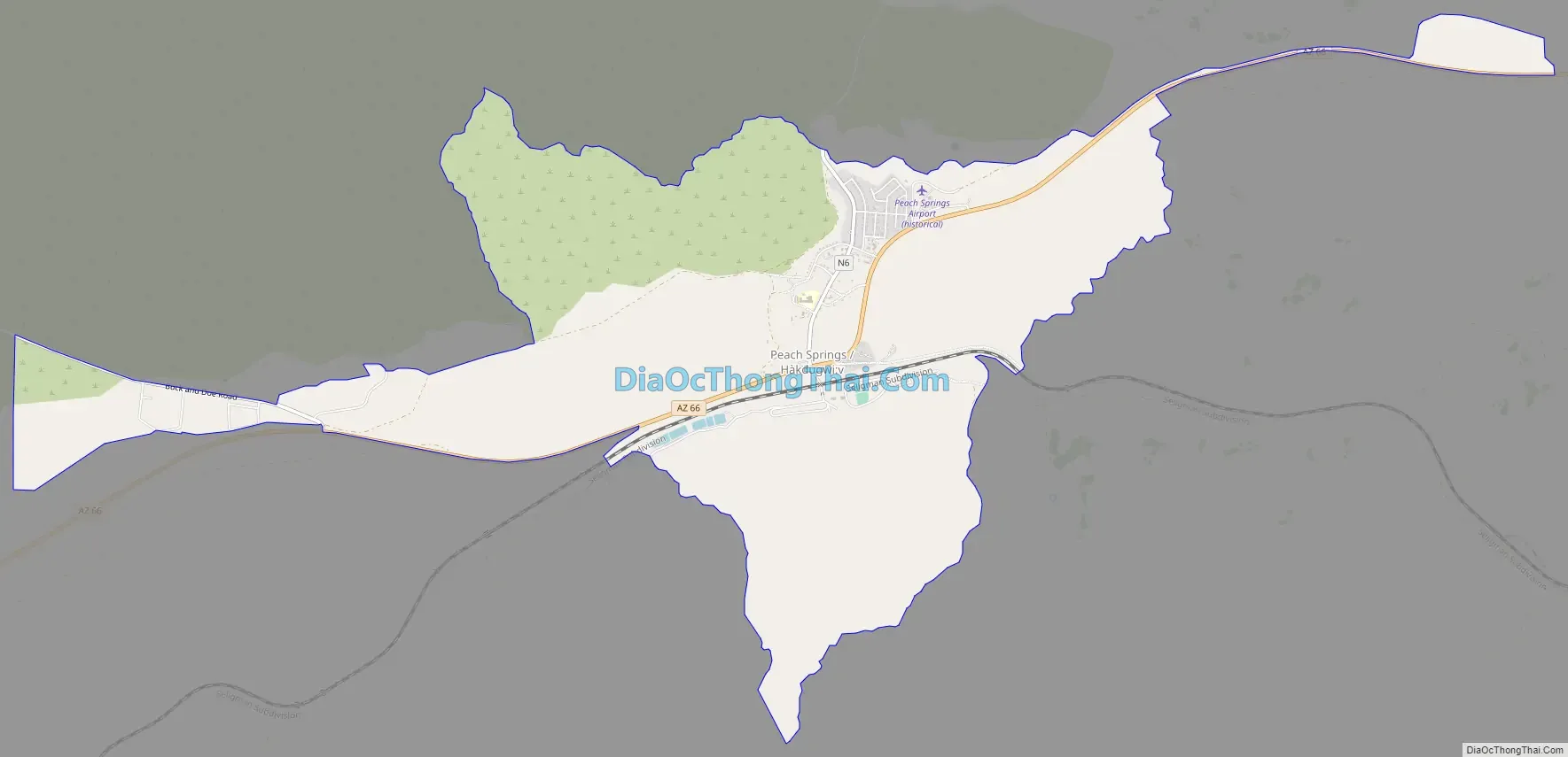
Peach Springs Road Map
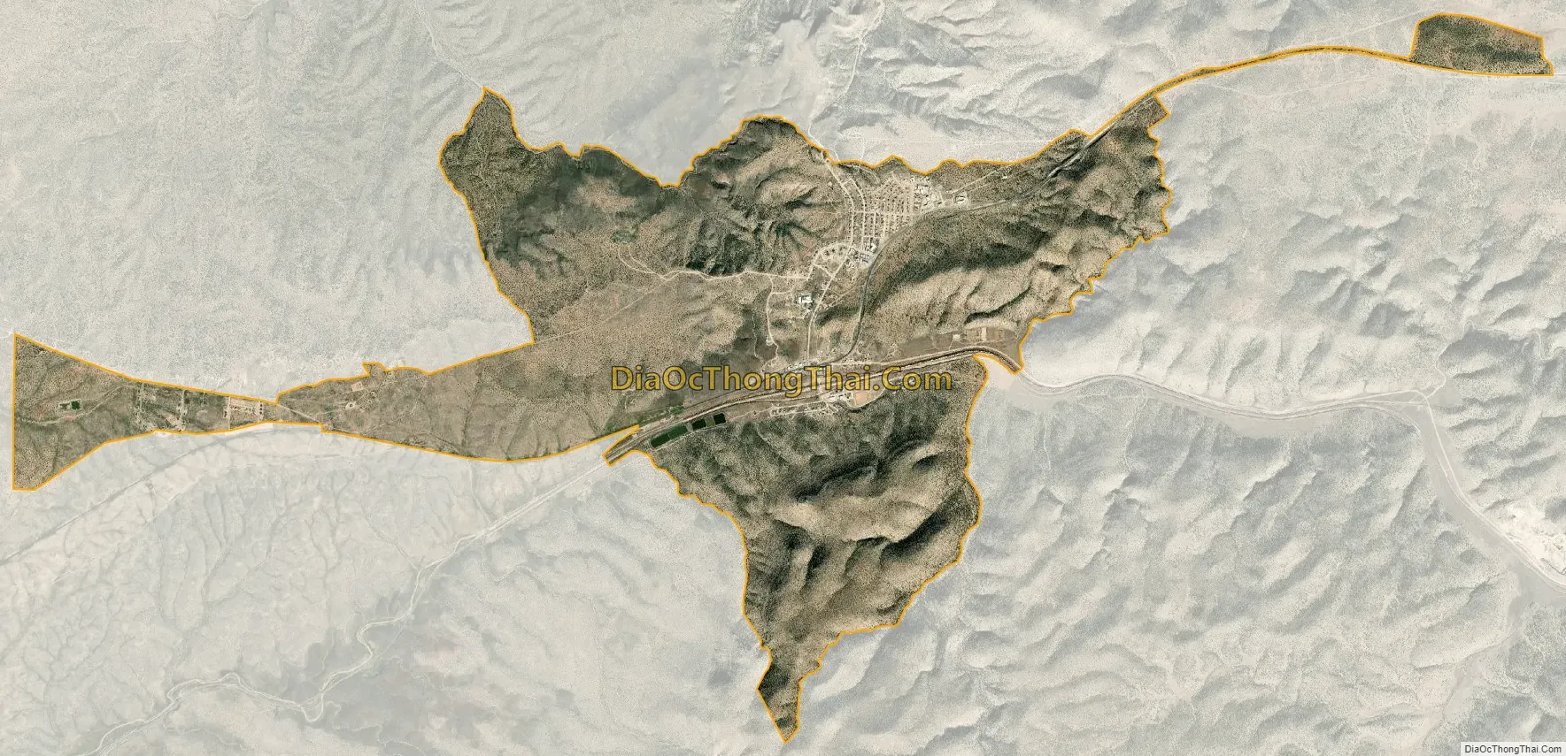
Peach Springs city Satellite Map
Geography
Peach Springs is in eastern Mohave County on both sides of Arizona State Route 66 (historic U.S. Route 66). It is 50 miles (80 km) northeast of Kingman and 37 miles (60 km) northwest of Seligman.
According to the United States Census Bureau, the CDP has a total area of 7.9 square miles (20 km), all land. The community is mainly on the north side of Yampai Canyon, drained by west-flowing Truxton Wash.
See also
Map of Arizona State and its subdivision: Map of other states:- Alabama
- Alaska
- Arizona
- Arkansas
- California
- Colorado
- Connecticut
- Delaware
- District of Columbia
- Florida
- Georgia
- Hawaii
- Idaho
- Illinois
- Indiana
- Iowa
- Kansas
- Kentucky
- Louisiana
- Maine
- Maryland
- Massachusetts
- Michigan
- Minnesota
- Mississippi
- Missouri
- Montana
- Nebraska
- Nevada
- New Hampshire
- New Jersey
- New Mexico
- New York
- North Carolina
- North Dakota
- Ohio
- Oklahoma
- Oregon
- Pennsylvania
- Rhode Island
- South Carolina
- South Dakota
- Tennessee
- Texas
- Utah
- Vermont
- Virginia
- Washington
- West Virginia
- Wisconsin
- Wyoming


