Sanders (Navajo: Łichííʼ Deezʼáhí) is a census-designated place (CDP) in Apache County, Arizona, United States. Sanders is located at the junction of U.S. Route 191 and Interstate 40. As of the 2010 census, it had a population of 630.
Sanders has the ZIP code 86512.
| Name: | Sanders CDP |
|---|---|
| LSAD Code: | 57 |
| LSAD Description: | CDP (suffix) |
| State: | Arizona |
| County: | Apache County |
| Elevation: | 5,865 ft (1,788 m) |
| Total Area: | 2.59 sq mi (6.71 km²) |
| Land Area: | 2.59 sq mi (6.70 km²) |
| Water Area: | 0.00 sq mi (0.00 km²) |
| Total Population: | 575 |
| Population Density: | 222.18/sq mi (85.78/km²) |
| ZIP code: | 86512 |
| FIPS code: | 0463050 |
| GNISfeature ID: | 10911 |
Online Interactive Map
Click on ![]() to view map in "full screen" mode.
to view map in "full screen" mode.
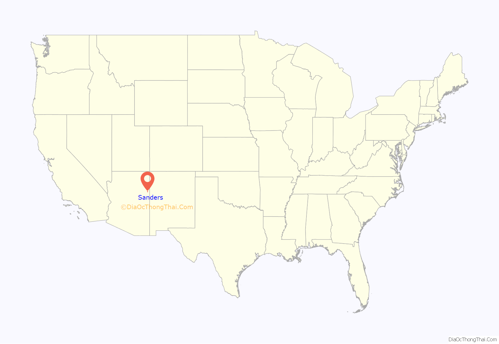
Sanders location map. Where is Sanders CDP?
History
Sanders’ English name either comes from C.W. Sanders, a railroad office engineer, or Art Saunders, who had a trading post nearby. The railroad station was named Cheto to avoid confusion with another station named Sanders already on the line.
Sanders is located near Interstate 40 and the BNSF Railway. Old Route 66 runs near the town and some sections of the highway still exist. Sanders is surrounded by the Nahata Dziil and (north of the town) Houck chapters of the Navajo Nation. The latter is made up of local Navajos from the area and relocated Navajo refugees from the Navajo/Hopi land dispute. That dispute relocated hundreds of Navajos to the Sanders area from the western Navajo Nation, mainly around the Hopi partitioned land. The area was mostly ranchland until the U.S. government bought it and added it to the Navajo Nation in 1981.
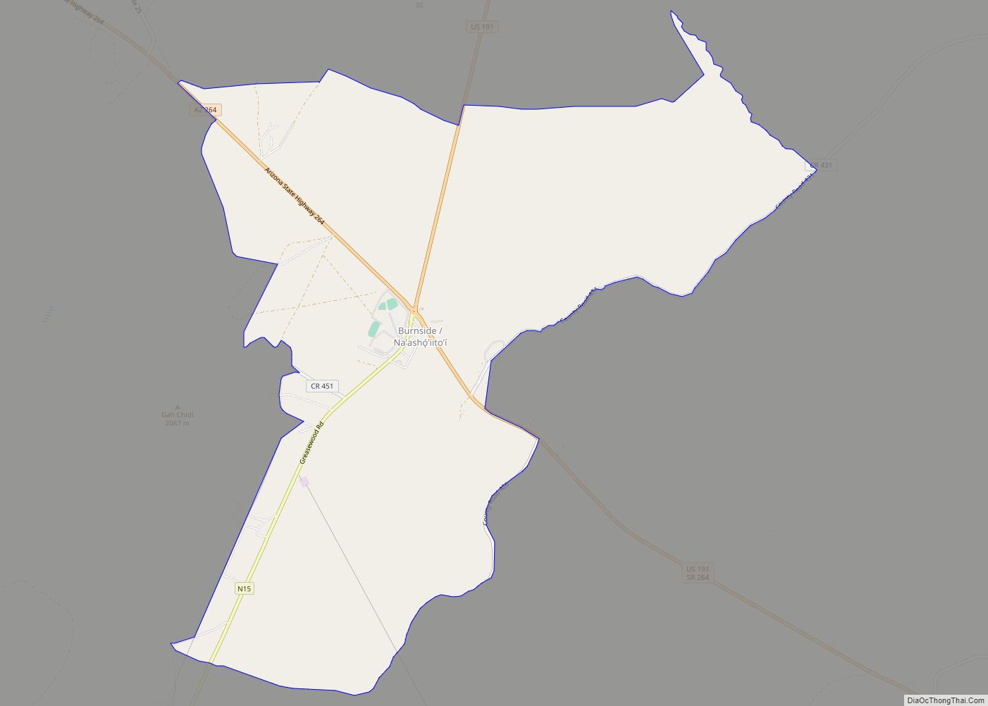
Sanders Road Map
Sanders city Satellite Map
Geography
Sanders is located at 35°12′59″N 109°20′01″W / 35.21639°N 109.33361°W / 35.21639; -109.33361 (35.21649, -109.33366), at Exit 339 on Interstate 40. Via I-40 it is 6 miles (10 km) west to Chambers, 53 miles (85 km) west to Holbrook, and 44 miles (71 km) east to Gallup, New Mexico. U.S. Route 191 leads south 54 miles (87 km) to St. Johns.
According to the United States Census Bureau, the Sanders CDP has a total area of 2.4 square miles (6.2 km), all land.
Sanders is located on the southern edge of the Defiance Plateau, adjacent to the Puerco River with Puerco Ridge visible to the south.
The vegetation of the surrounding region includes juniper, pinón pine and a variety of native plants such as prickly pear cactus and sagebrush.
Wildlife seen in the area include pronghorn, mule deer, elk, mountain lions, black bears, Mexican gray wolves, coyotes and turkeys.
See also
Map of Arizona State and its subdivision: Map of other states:- Alabama
- Alaska
- Arizona
- Arkansas
- California
- Colorado
- Connecticut
- Delaware
- District of Columbia
- Florida
- Georgia
- Hawaii
- Idaho
- Illinois
- Indiana
- Iowa
- Kansas
- Kentucky
- Louisiana
- Maine
- Maryland
- Massachusetts
- Michigan
- Minnesota
- Mississippi
- Missouri
- Montana
- Nebraska
- Nevada
- New Hampshire
- New Jersey
- New Mexico
- New York
- North Carolina
- North Dakota
- Ohio
- Oklahoma
- Oregon
- Pennsylvania
- Rhode Island
- South Carolina
- South Dakota
- Tennessee
- Texas
- Utah
- Vermont
- Virginia
- Washington
- West Virginia
- Wisconsin
- Wyoming
