St. David is a census-designated place (CDP) in Cochise County, Arizona, United States. The population was 1,699 at the 2010 census.
| Name: | St. David CDP |
|---|---|
| LSAD Code: | 57 |
| LSAD Description: | CDP (suffix) |
| State: | Arizona |
| County: | Cochise County |
| Founded: | 1877 |
| Elevation: | 3,691 ft (1,125 m) |
| Total Area: | 6.06 sq mi (15.71 km²) |
| Land Area: | 6.05 sq mi (15.67 km²) |
| Water Area: | 0.01 sq mi (0.04 km²) |
| Total Population: | 1,639 |
| Population Density: | 270.95/sq mi (104.61/km²) |
| FIPS code: | 0462280 |
| GNISfeature ID: | 10700 |
Online Interactive Map
Click on ![]() to view map in "full screen" mode.
to view map in "full screen" mode.
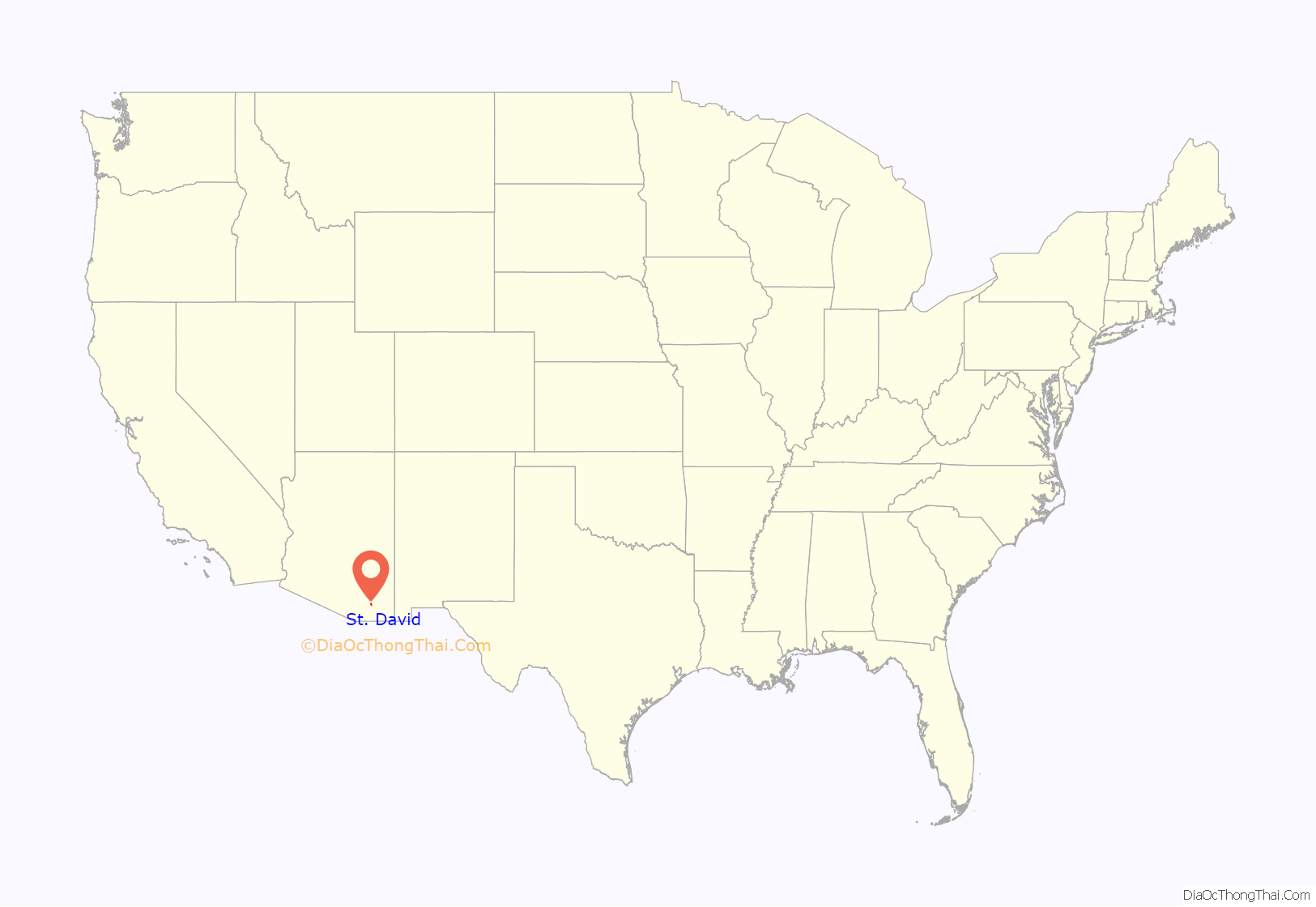
St. David location map. Where is St. David CDP?
History
St. David was established as a result of the Mormon Battalion having earlier passed through the San Pedro River valley in 1846. One of the founders of St. David, Philemon C. Merrill, was a member of the battalion. The Mormon settlers of 1877 were part of a group that originally was to settle Lehi, Arizona. The town was named after David Patten Kimball. The early St. David settlers played an important role in establishing the subsequent surrounding settlements, such as Fort Huachuca and Tombstone, as they did much of the logging in the Huachuca Mountains to provide lumber for the construction of those locations.
As a tight-knit Mormon community, St. David managed better than other small towns in Cochise County during the Great Depression.
An influx of non-Mormons, principally from Oklahoma and Texas, took place when St. David became the site for Civilian Conservation Corps Camp SCS-19-A from 1935 to 1940. Works included soil erosion and flood control projects.
The first natural gas lines brought into Cochise County were brought into St. David.
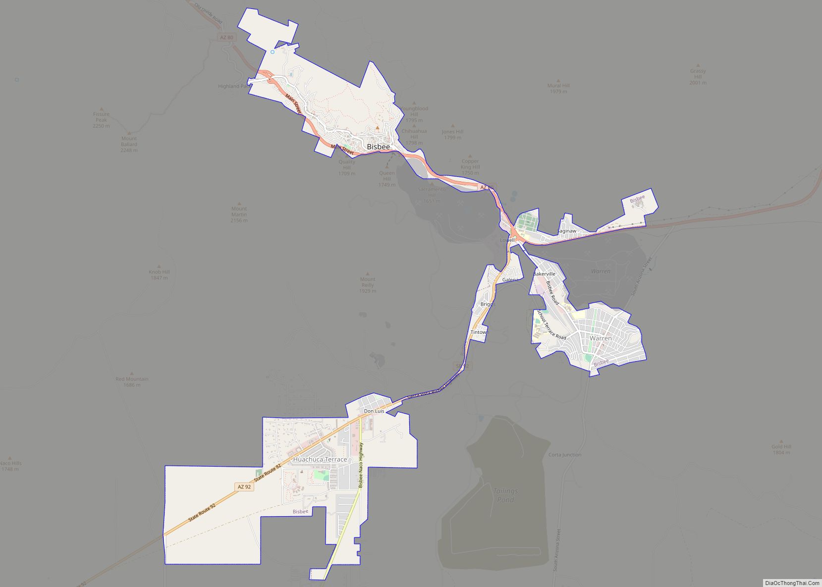
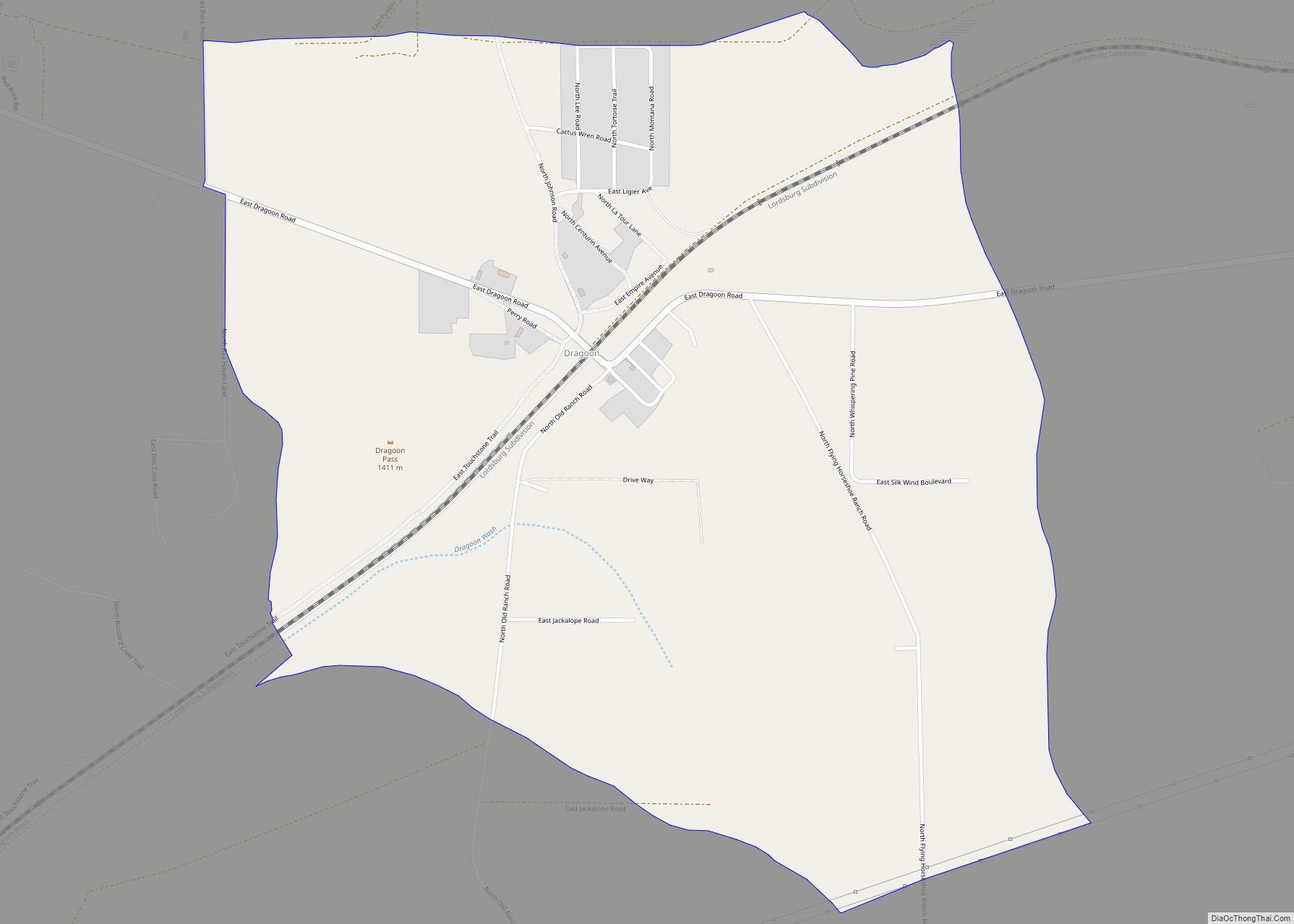
St. David Road Map
St. David city Satellite Map
Geography
St. David is located at 31°53′53″N 110°13′5″W / 31.89806°N 110.21806°W / 31.89806; -110.21806 (31.898039, -110.218034).
According to the United States Census Bureau, the CDP has a total area of 5.3 square miles (14 km), all land.
The portion of Arizona State Route 80 that runs east-west through town uses the earlier Patten Street alignment, with the center of town located at the intersection of Patten and Miller Lane.
The main crossings of the San Pedro River in St. David are at Dragoon Wash to the north west and Escalante Crossing to the south. The latter was known as upper crossing and was the site of a stagecoach station.
Climate
St. David has a semi-arid climate (Köppen: BSk) with cool winters, hot summers, and large diurnal temperature variation throughout the year.
See also
Map of Arizona State and its subdivision: Map of other states:- Alabama
- Alaska
- Arizona
- Arkansas
- California
- Colorado
- Connecticut
- Delaware
- District of Columbia
- Florida
- Georgia
- Hawaii
- Idaho
- Illinois
- Indiana
- Iowa
- Kansas
- Kentucky
- Louisiana
- Maine
- Maryland
- Massachusetts
- Michigan
- Minnesota
- Mississippi
- Missouri
- Montana
- Nebraska
- Nevada
- New Hampshire
- New Jersey
- New Mexico
- New York
- North Carolina
- North Dakota
- Ohio
- Oklahoma
- Oregon
- Pennsylvania
- Rhode Island
- South Carolina
- South Dakota
- Tennessee
- Texas
- Utah
- Vermont
- Virginia
- Washington
- West Virginia
- Wisconsin
- Wyoming
