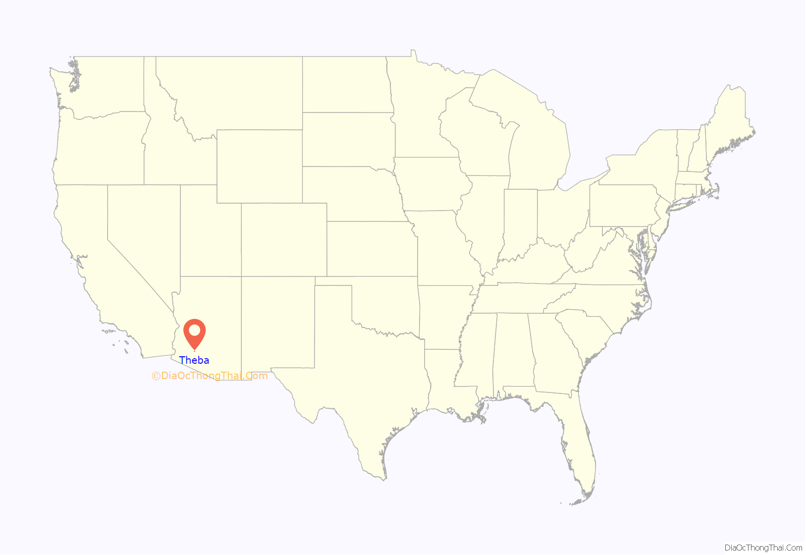
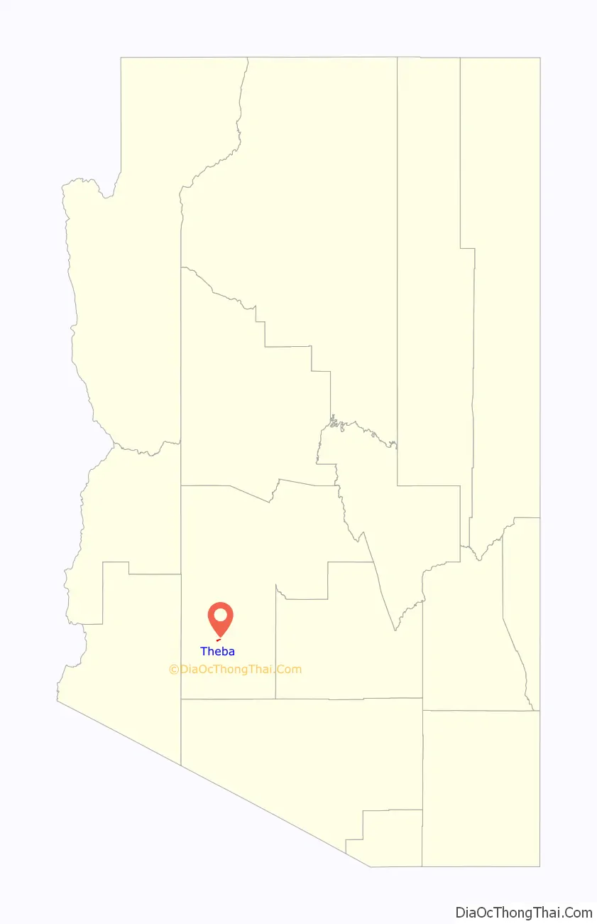
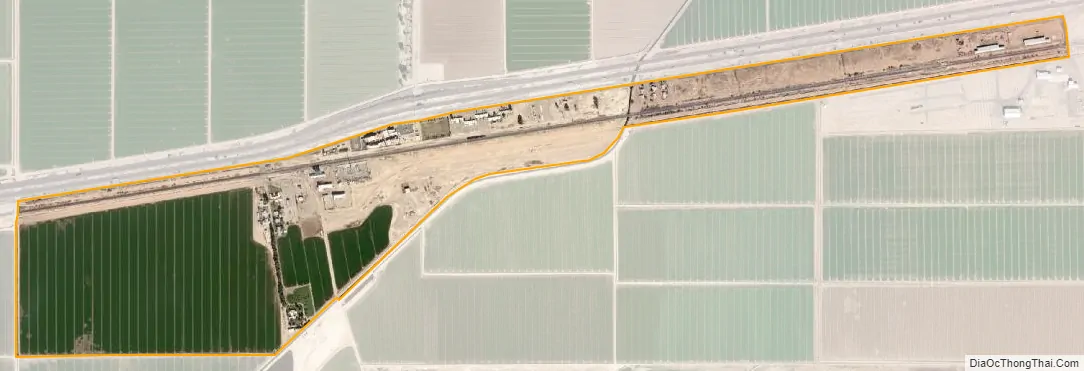
Theba is an unincorporated community and census-designated place (CDP) in Maricopa County, Arizona, United States. Its elevation is 728 feet (222 m). Theba is located along Interstate 8 and is served by Exit 106. As of the 2020 census, it had a population of 111, down from 158 in 2010.
The Rowley Mine, a private copper mine known as a source of the mineral wulfenite, is located near the settlement. The large Paloma Ranch was located near Theba before it was broken up. The area is frequently marked as Paloma on maps.
| Name: | Theba CDP |
|---|---|
| LSAD Code: | 57 |
| LSAD Description: | CDP (suffix) |
| State: | Arizona |
| County: | Maricopa County |
| Elevation: | 728 ft (222 m) |
| Total Area: | 0.62 sq mi (1.61 km²) |
| Land Area: | 0.62 sq mi (1.61 km²) |
| Water Area: | 0.00 sq mi (0.00 km²) |
| Total Population: | 111 |
| Population Density: | 178.46/sq mi (68.94/km²) |
| ZIP code: | 85337 (Gila Bend) |
| FIPS code: | 0473490 |
| GNISfeature ID: | 12385 |
Online Interactive Map
Click on ![]() to view map in "full screen" mode.
to view map in "full screen" mode.
Theba location map. Where is Theba CDP?
History
The area, which is in the Sonoran desert, was a farming area into the 1960s, and once had significant crops of melons, jojoba, and guar in the 1970s, which is used in the oil industry. The Southern Pacific Company once had a railroad station there, served by Wells Fargo. The population was estimated at 200 in 1960.
Theba is the nearest community to the Painted Rocks, a site of ancient petroglyphs that was listed on the National Register of Historic Places in 1977.
Theba Road Map

Theba city Satellite Map
See also
Map of Arizona State and its subdivision: Map of other states:- Alabama
- Alaska
- Arizona
- Arkansas
- California
- Colorado
- Connecticut
- Delaware
- District of Columbia
- Florida
- Georgia
- Hawaii
- Idaho
- Illinois
- Indiana
- Iowa
- Kansas
- Kentucky
- Louisiana
- Maine
- Maryland
- Massachusetts
- Michigan
- Minnesota
- Mississippi
- Missouri
- Montana
- Nebraska
- Nevada
- New Hampshire
- New Jersey
- New Mexico
- New York
- North Carolina
- North Dakota
- Ohio
- Oklahoma
- Oregon
- Pennsylvania
- Rhode Island
- South Carolina
- South Dakota
- Tennessee
- Texas
- Utah
- Vermont
- Virginia
- Washington
- West Virginia
- Wisconsin
- Wyoming


