Truxton is an unincorporated community and census-designated place (CDP) in Mohave County, in the U.S. state of Arizona. The population was 104 at the 2020 census, down from 134 in 2010.
| Name: | Truxton CDP |
|---|---|
| LSAD Code: | 57 |
| LSAD Description: | CDP (suffix) |
| State: | Arizona |
| County: | Mohave County |
| Total Area: | 3.83 sq mi (9.90 km²) |
| Land Area: | 3.77 sq mi (9.77 km²) |
| Water Area: | 0.05 sq mi (0.13 km²) |
| Total Population: | 104 |
| Population Density: | 27.56/sq mi (10.64/km²) |
| FIPS code: | 0475590 |
Online Interactive Map
Click on ![]() to view map in "full screen" mode.
to view map in "full screen" mode.
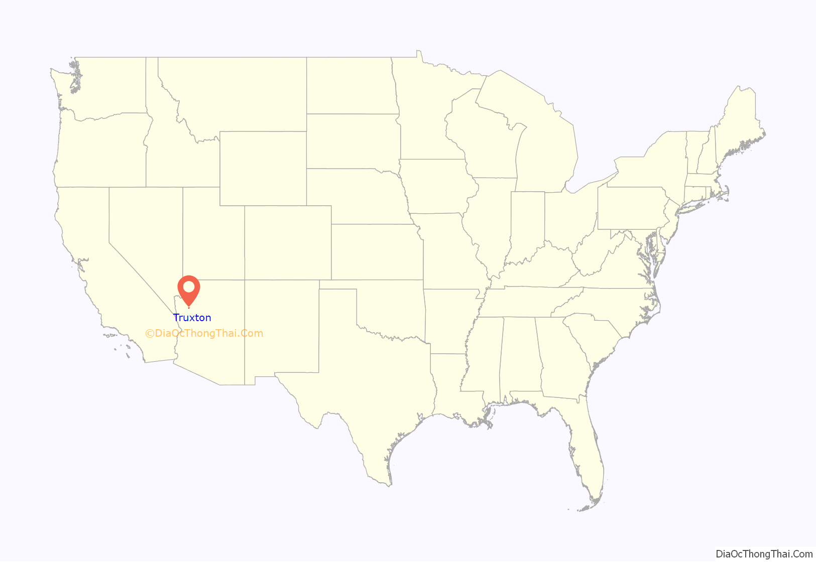
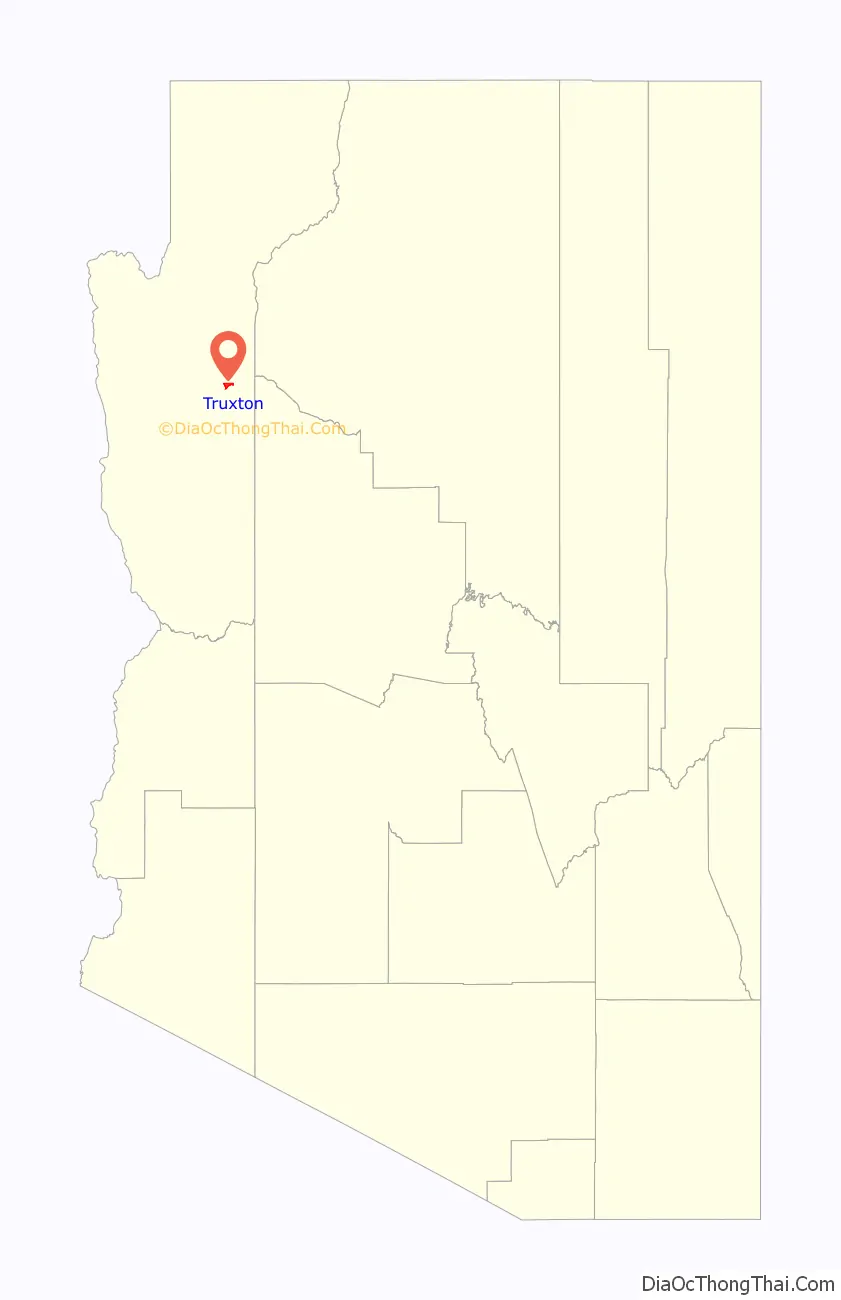
Truxton location map. Where is Truxton CDP?
History
Truxton is in eastern Mohave County, along Arizona State Route 66, former U.S. Route 66. It is 41 miles (66 km) northeast of Kingman, the county seat, and 45 miles (72 km) west of Seligman.
The Atlantic and Pacific Railroad section across northern Arizona was built in the early 1880s, and later acquired by the Santa Fe (now BNSF Railway), and included a stop at Truxton. The name comes from Truxton Springs, found by Edward Fitzgerald Beale when surveying and a laying wagon road through Arizona in 1857-58, see Beale’s Wagon Road. “Truxtun” (slightly different spelling) was a family name; his son was Truxtun Beale, and his mother’s maiden name was Emily Truxtun, a daughter of Thomas Truxtun.
Modern Truxton began to grow in 1951 when a few people moved in on Route 66, just northeast of the railstop, in anticipation of the building of the proposed Bridge Canyon Dam which would be nearby and would generate commerce. Though the dam was never built, business grew from Route 66 traffic coming through the very sparsely populated area. When Interstate 40 opened in 1978 and bypassed this stretch of U.S. 66, it greatly reduced traffic and commerce in Truxton.
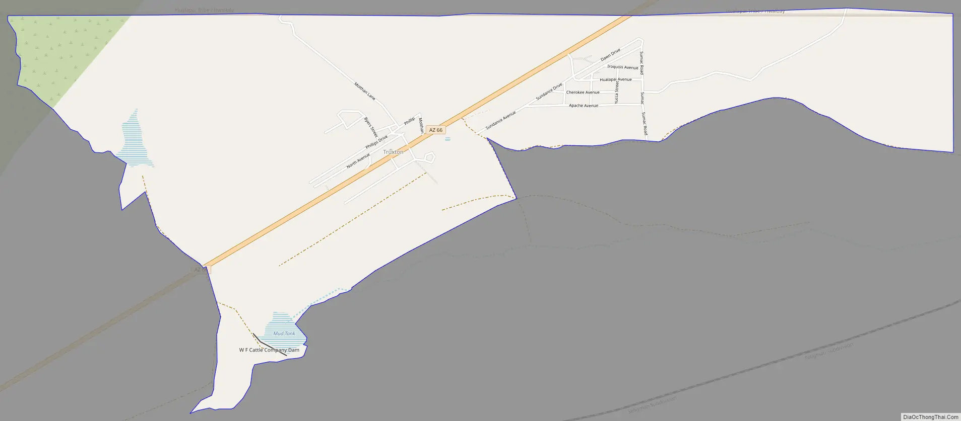
Truxton Road Map
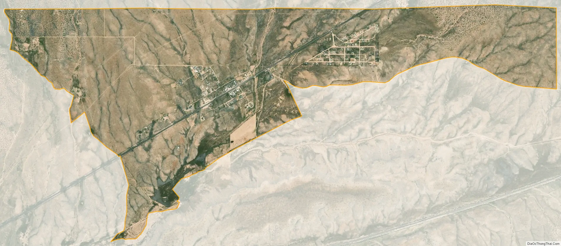
Truxton city Satellite Map
See also
Map of Arizona State and its subdivision: Map of other states:- Alabama
- Alaska
- Arizona
- Arkansas
- California
- Colorado
- Connecticut
- Delaware
- District of Columbia
- Florida
- Georgia
- Hawaii
- Idaho
- Illinois
- Indiana
- Iowa
- Kansas
- Kentucky
- Louisiana
- Maine
- Maryland
- Massachusetts
- Michigan
- Minnesota
- Mississippi
- Missouri
- Montana
- Nebraska
- Nevada
- New Hampshire
- New Jersey
- New Mexico
- New York
- North Carolina
- North Dakota
- Ohio
- Oklahoma
- Oregon
- Pennsylvania
- Rhode Island
- South Carolina
- South Dakota
- Tennessee
- Texas
- Utah
- Vermont
- Virginia
- Washington
- West Virginia
- Wisconsin
- Wyoming


