Village of Oak Creek is an unincorporated community located within Big Park a census-designated place (CDP) in Yavapai County, Arizona, United States. The population was 6,147 at the 2010 census, up from 5,245 in 2000. Big Park is the name of the CDP while the community is more commonly known as the Village of Oak Creek (VOC), and is a bedroom community for Sedona, located seven miles away. Tourism and service to retirees and second-home owners are the basis for the local economy. Big Park, the pioneers’ name for the large open area that became the Village of Oak Creek in the early 1960s, is set among scenic red-rock buttes and canyons. The Bell Rock scenic area adjoins the north end of VOC, and the town is surrounded by the Coconino National Forest. A Forest Service Visitor Center is located at the south end of VOC.
Big Park’s FIPS code is 07570. Residents of VOC have a Sedona ZIP code, 86351.
| Name: | Village of Oak Creek (Big Park) CDP |
|---|---|
| LSAD Code: | 57 |
| LSAD Description: | CDP (suffix) |
| State: | Arizona |
| County: | Yavapai County |
| Elevation: | 4,105 ft (1,251 m) |
| Total Area: | 5.26 sq mi (13.61 km²) |
| Land Area: | 5.26 sq mi (13.61 km²) |
| Water Area: | 0.00 sq mi (0.00 km²) |
| Total Population: | 6,128 |
| Population Density: | 1,165.68/sq mi (450.10/km²) |
| FIPS code: | 0480095 |
Online Interactive Map
Click on ![]() to view map in "full screen" mode.
to view map in "full screen" mode.
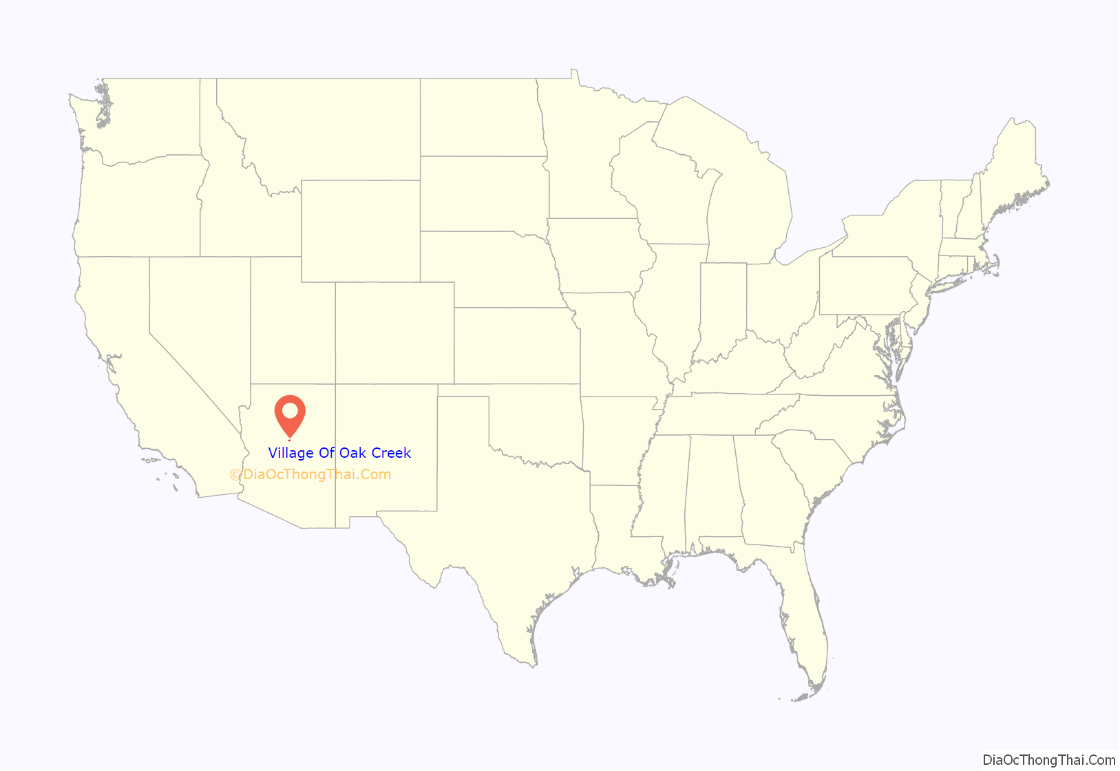
Village Of Oak Creek location map. Where is Village of Oak Creek (Big Park) CDP?
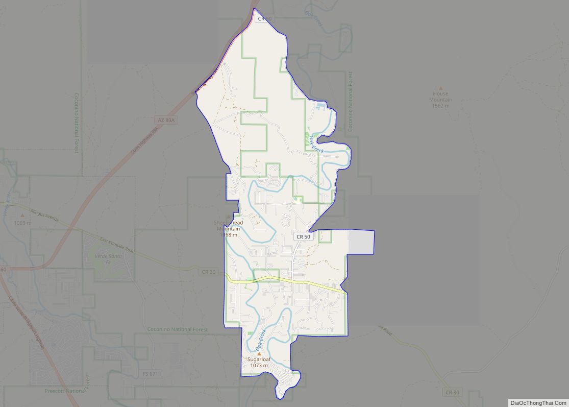
Village Of Oak Creek Road Map
Village Of Oak Creek city Satellite Map
Geography
According to the United States Census Bureau, the CDP has a total area of 4.6 square miles (12 km), all land. As of 2016, Big Park / Village of Oak Creek is a designated Dark Sky Community.
See also
Map of Arizona State and its subdivision: Map of other states:- Alabama
- Alaska
- Arizona
- Arkansas
- California
- Colorado
- Connecticut
- Delaware
- District of Columbia
- Florida
- Georgia
- Hawaii
- Idaho
- Illinois
- Indiana
- Iowa
- Kansas
- Kentucky
- Louisiana
- Maine
- Maryland
- Massachusetts
- Michigan
- Minnesota
- Mississippi
- Missouri
- Montana
- Nebraska
- Nevada
- New Hampshire
- New Jersey
- New Mexico
- New York
- North Carolina
- North Dakota
- Ohio
- Oklahoma
- Oregon
- Pennsylvania
- Rhode Island
- South Carolina
- South Dakota
- Tennessee
- Texas
- Utah
- Vermont
- Virginia
- Washington
- West Virginia
- Wisconsin
- Wyoming
