Wilhoit is a census-designated place (CDP) in Yavapai County, Arizona, United States. The population was 664 at the 2000 census.
| Name: | Wilhoit CDP |
|---|---|
| LSAD Code: | 57 |
| LSAD Description: | CDP (suffix) |
| State: | Arizona |
| County: | Yavapai County |
| Elevation: | 5,075 ft (1,547 m) |
| Total Area: | 15.69 sq mi (40.63 km²) |
| Land Area: | 15.69 sq mi (40.63 km²) |
| Water Area: | 0.00 sq mi (0.00 km²) |
| Total Population: | 864 |
| Population Density: | 55.07/sq mi (21.26/km²) |
| ZIP code: | 86332 |
| Area code: | 928 |
| FIPS code: | 0482950 |
| GNISfeature ID: | 36204 |
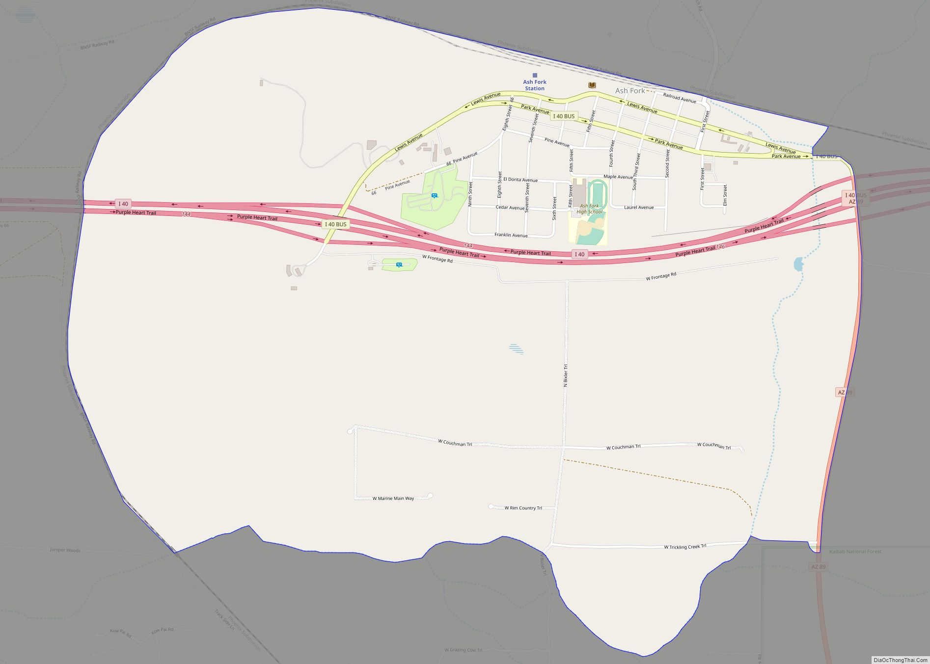
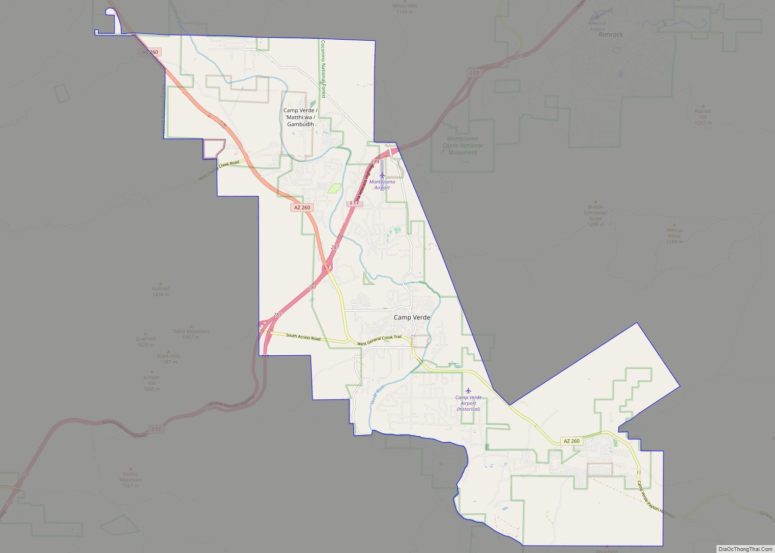
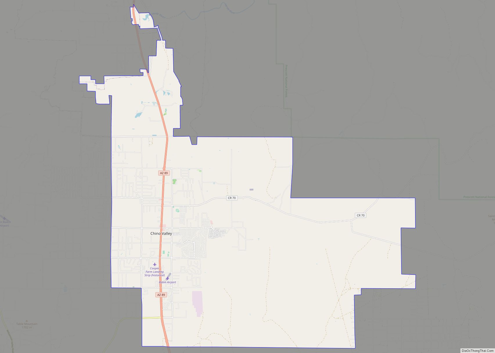
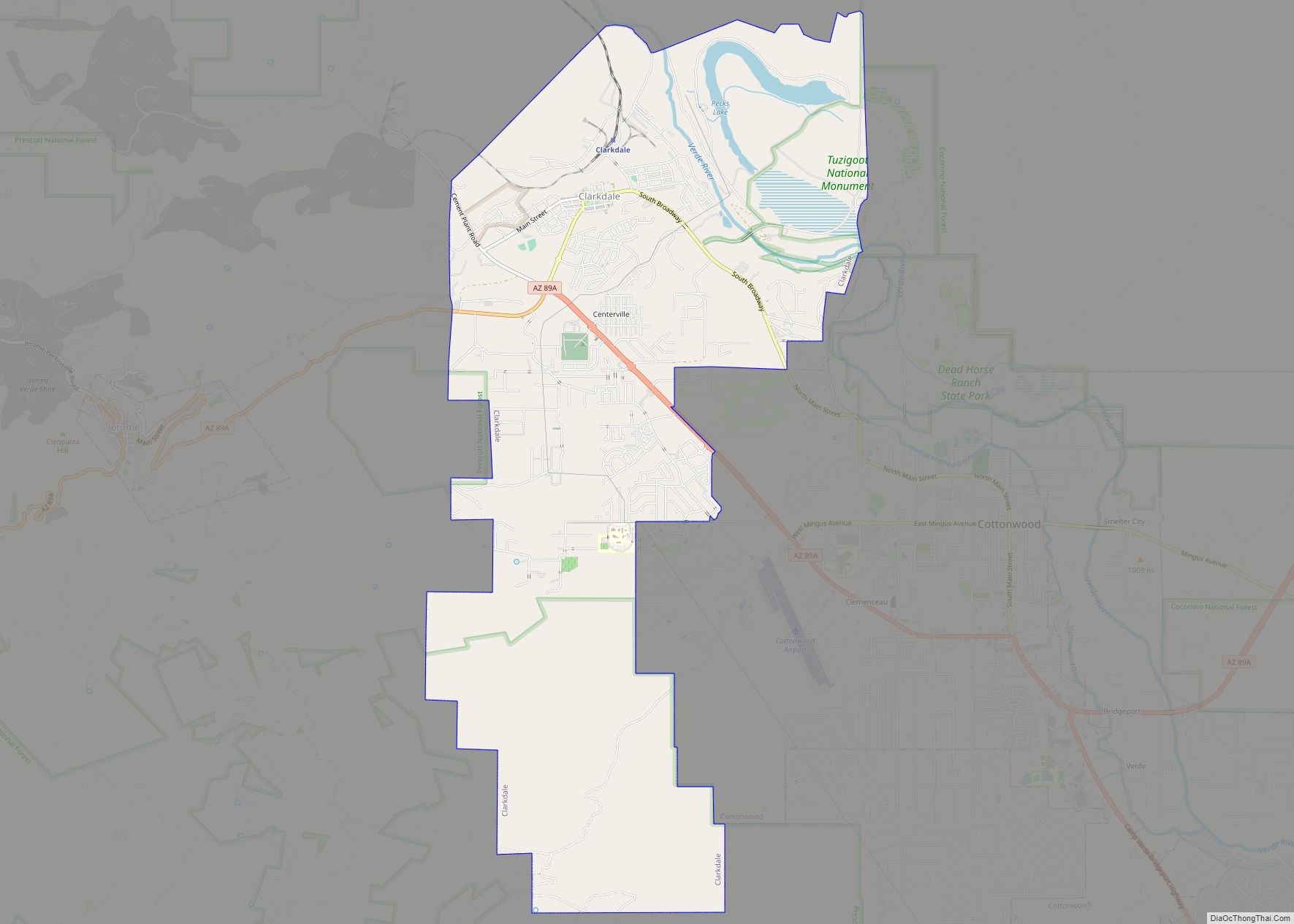
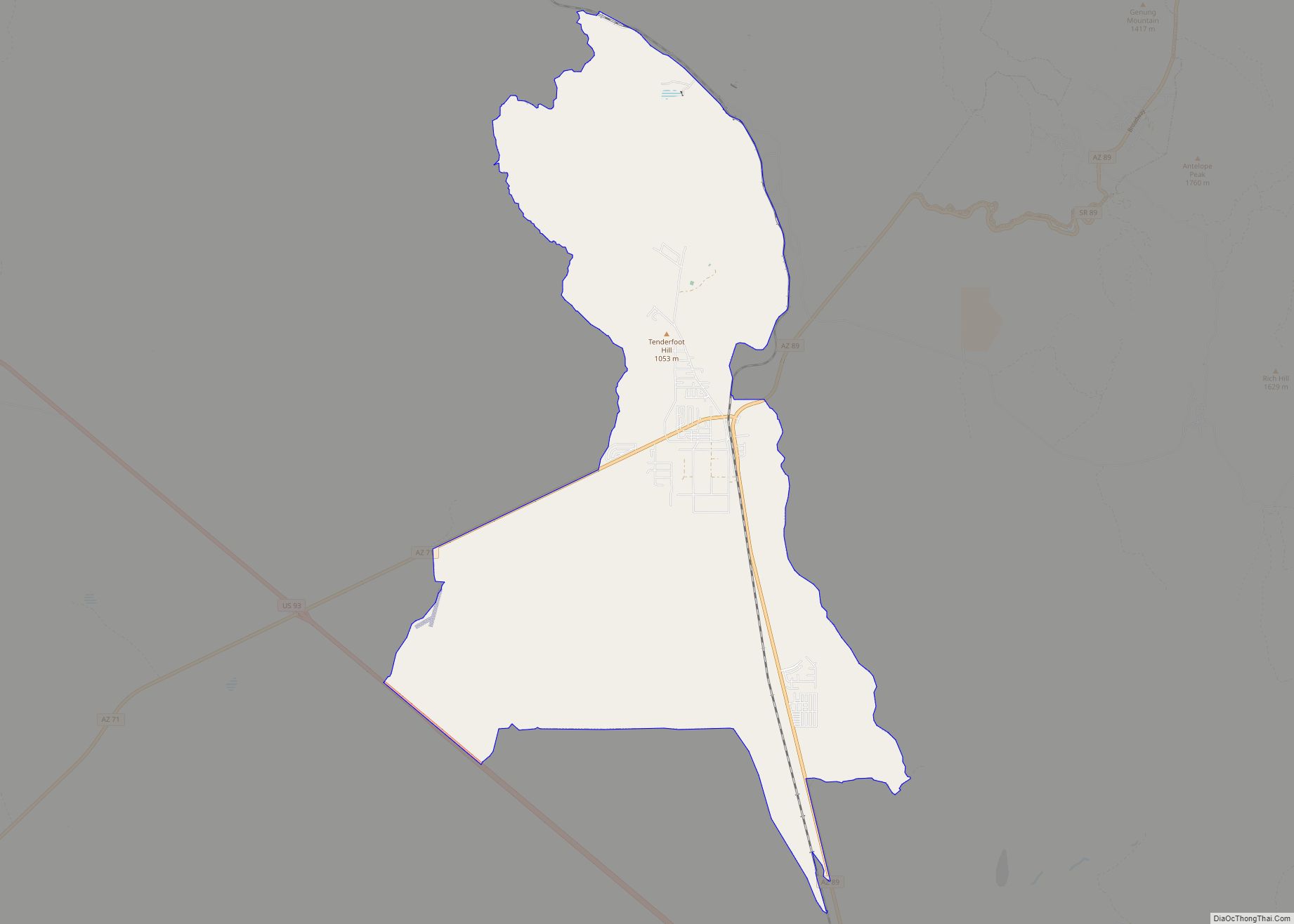
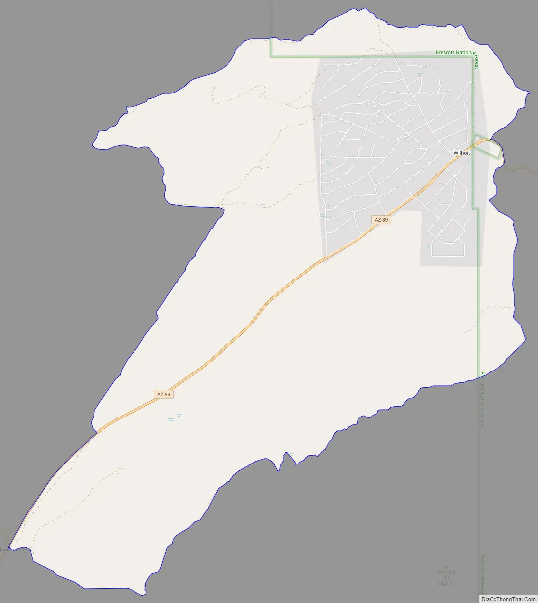
Online Interactive Map
Click on ![]() to view map in "full screen" mode.
to view map in "full screen" mode.
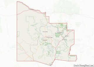
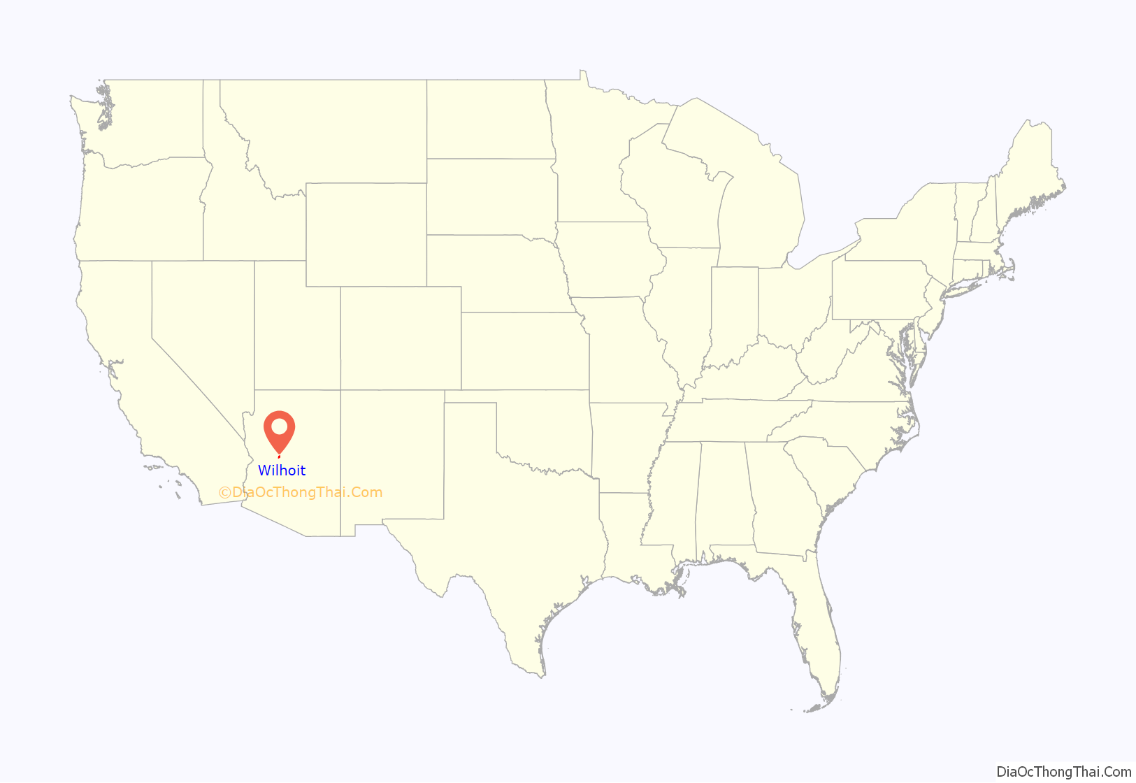
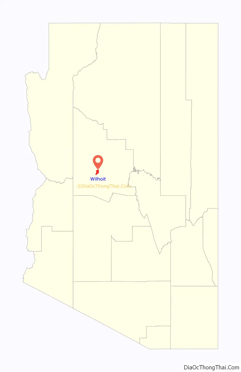
Wilhoit location map. Where is Wilhoit CDP?
History
In the mid-1920’s a road was being built to connect Phoenix and Prescott, by way of Congress and Yarnell. There Frank Wilhoit built culverts for the road, and then later homesteaded that area with his wife Christina. Mr. and Mrs. Wilhoit then built a gas station and garage on one side of the road, and a restaurant on the other. Mr. Wilhoit operated the garage and Mrs. Wilhoit operated the restaurant which remained busy as travelers needed a place to eat, and that they also needed an auto-garage considering tires back then did not hold up well on gravel roads. Mr. and Mrs. Wilhoit would later leave the area and move to Wickenburg around 1930 but the small area retained the name and the area later evolved into a place well known for its mobile homes.
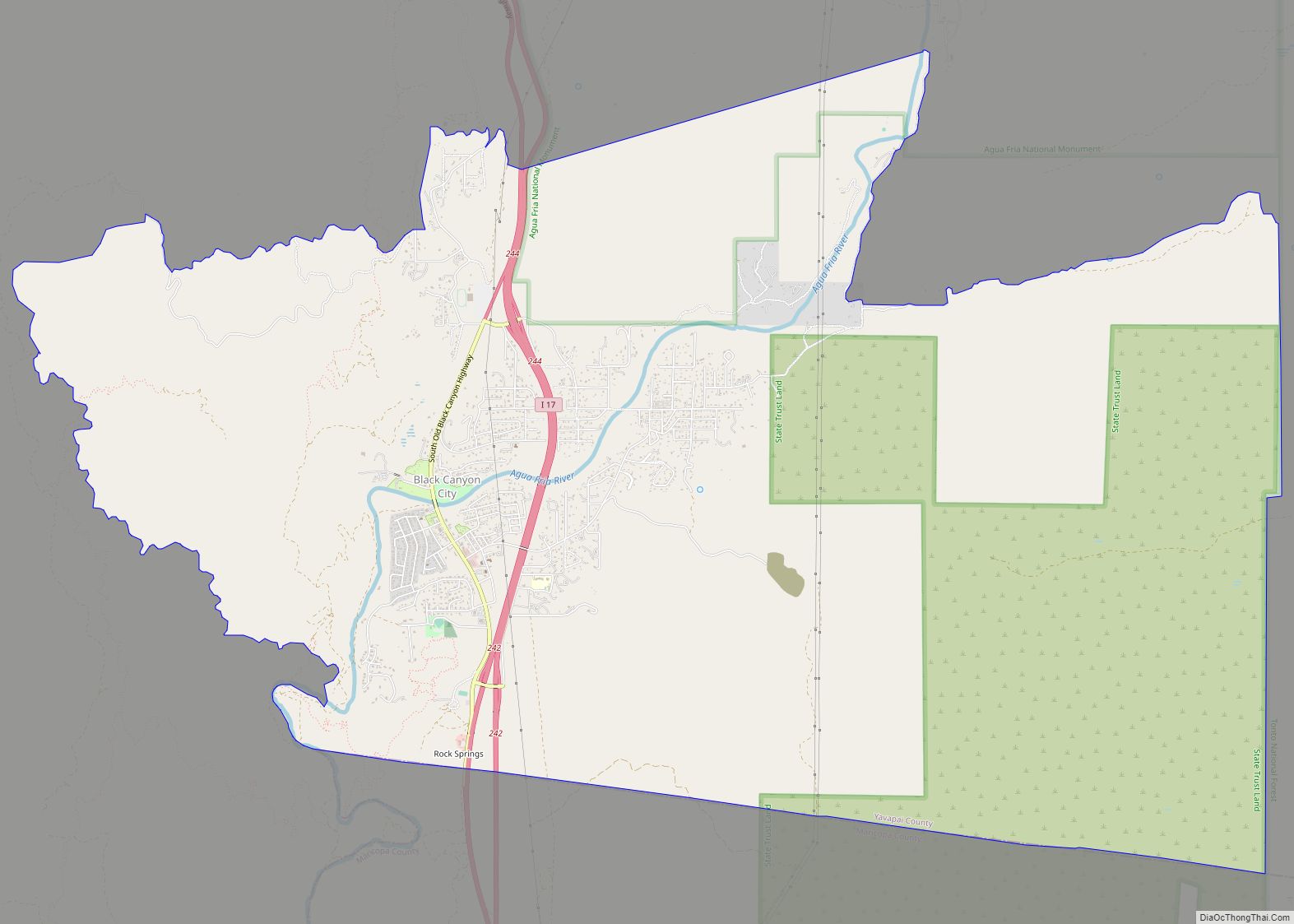
Wilhoit Road Map
Wilhoit city Satellite Map

Geography
Wilhoit is located at 34°25′8″N 112°36′16″W / 34.41889°N 112.60444°W / 34.41889; -112.60444 (34.418777, -112.604547).
According to the United States Census Bureau, the CDP has a total area of 15.7 square miles (41 km), all land.
See also
Map of Arizona State and its subdivision: Map of other states:- Alabama
- Alaska
- Arizona
- Arkansas
- California
- Colorado
- Connecticut
- Delaware
- District of Columbia
- Florida
- Georgia
- Hawaii
- Idaho
- Illinois
- Indiana
- Iowa
- Kansas
- Kentucky
- Louisiana
- Maine
- Maryland
- Massachusetts
- Michigan
- Minnesota
- Mississippi
- Missouri
- Montana
- Nebraska
- Nevada
- New Hampshire
- New Jersey
- New Mexico
- New York
- North Carolina
- North Dakota
- Ohio
- Oklahoma
- Oregon
- Pennsylvania
- Rhode Island
- South Carolina
- South Dakota
- Tennessee
- Texas
- Utah
- Vermont
- Virginia
- Washington
- West Virginia
- Wisconsin
- Wyoming