Young is an unincorporated community and census-designated place (CDP) in Gila County, Arizona, United States. The population was 666 as of the 2010 census, up from 561 in 2000.
| Name: | Young CDP |
|---|---|
| LSAD Code: | 57 |
| LSAD Description: | CDP (suffix) |
| State: | Arizona |
| County: | Gila County |
| Elevation: | 5,184 ft (1,580 m) |
| Total Area: | 47.82 sq mi (123.86 km²) |
| Land Area: | 47.79 sq mi (123.77 km²) |
| Water Area: | 0.04 sq mi (0.09 km²) |
| Total Population: | 588 |
| Population Density: | 12.30/sq mi (4.75/km²) |
| ZIP code: | 85554 |
| Area code: | 928 |
| FIPS code: | 0485330 |
| GNISfeature ID: | 0036483 |
Online Interactive Map
Click on ![]() to view map in "full screen" mode.
to view map in "full screen" mode.
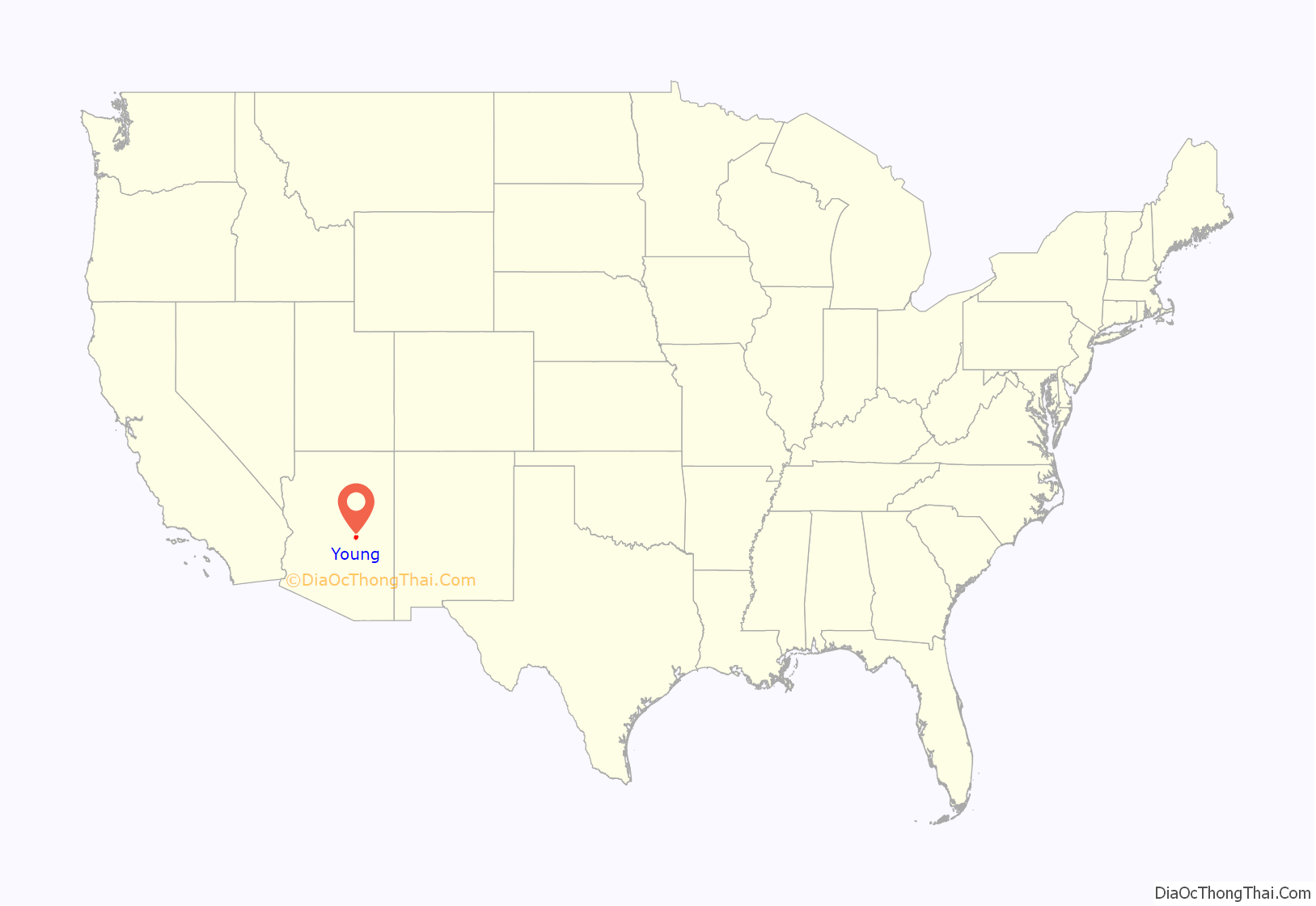
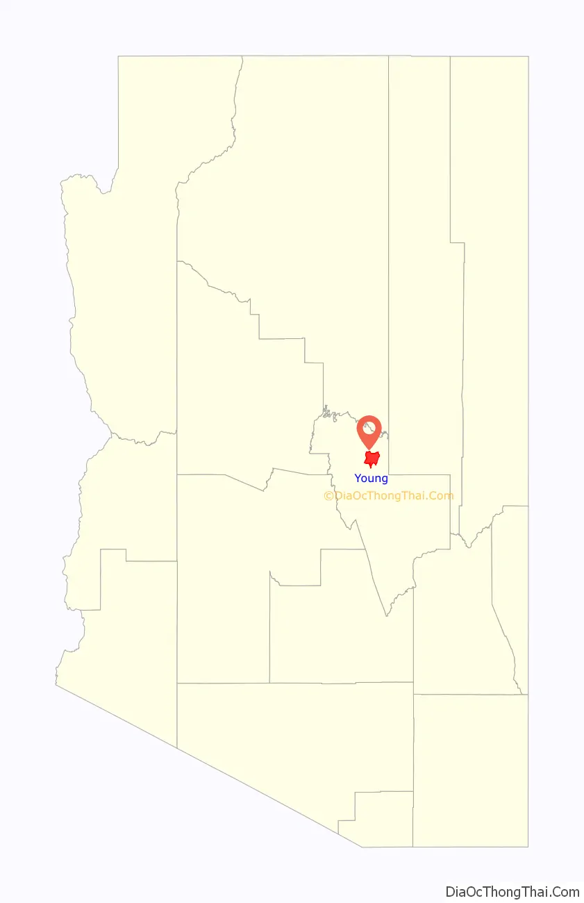
Young location map. Where is Young CDP?
History
Young played a central part in the Pleasant Valley War between 1887 and 1897. In September 1887, Sheriff Mulvernon of Prescott led a posse that pursued and killed John Graham and Charles Blevins during a shootout at “Perkins Store”.
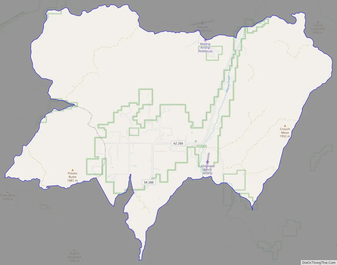
Young Road Map
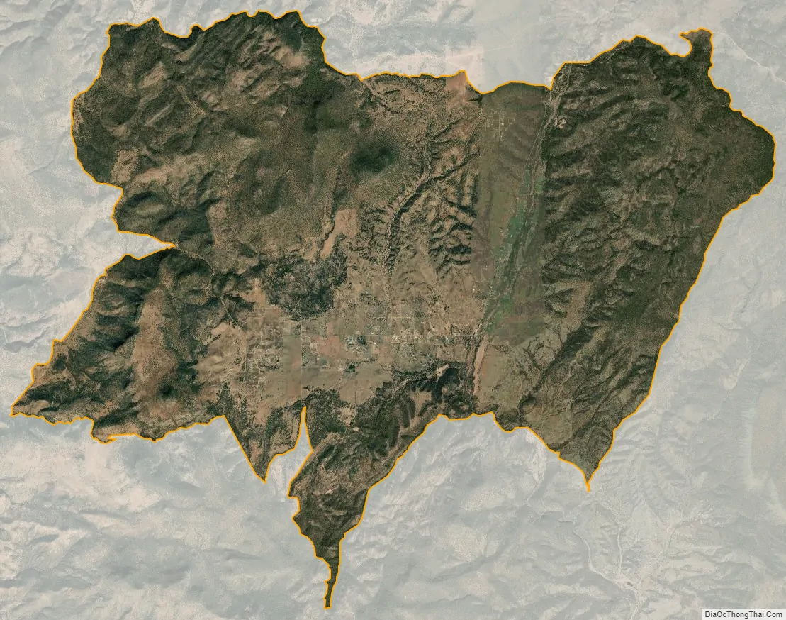
Young city Satellite Map
Geography
Young is located in northeastern Gila County at 34°06′42″N 110°55′45″W / 34.11167°N 110.92917°W / 34.11167; -110.92917 (34.111688, -110.929208), along Arizona State Route 288 (which becomes Gila County 512 to the north). SR 288 is paved within and north of the town, totaling about 10 miles (16 km) of pavement, but there is no fully paved road connecting Young with other highways. Young is surrounded by the Tonto National Forest.
There are two main roads in and out of Young, one north (from SR 260) and one south (from SR 188). From Arizona State Route 260 between mile markers 284 and 285 (east of Christopher Creek and west of Heber/Overgaard), go south along FR512 for about 26 miles (42 km). SR 288’s northernmost 3 miles (5 km) have been paved (as of October 2010), leaving about 13 miles (21 km) of this road unpaved. The southern route starts at the intersection of SR 188 and SR 288 (near Roosevelt Lake) and continues north along SR 288 for 47 miles (76 km). About 15–16 miles (24–26 km) is unpaved. Four-wheel drive is recommended during inclement weather.
The nearest cities to Young are Payson, 60 miles (97 km) by road to the northwest, and Globe/Miami, 65 miles (105 km) to the south. From the Phoenix area, Young is about 150 miles (240 km) away and typically takes 2.5 to 3 hours by vehicle.
According to the United States Census Bureau, the CDP has a total area of 47.8 square miles (123.9 km), of which 0.04 square miles (0.1 km), or 0.07%, is water. The community is set in the Pleasant Valley, drained to the southeast by Cherry Creek, a tributary of the Salt River.
See also
Map of Arizona State and its subdivision: Map of other states:- Alabama
- Alaska
- Arizona
- Arkansas
- California
- Colorado
- Connecticut
- Delaware
- District of Columbia
- Florida
- Georgia
- Hawaii
- Idaho
- Illinois
- Indiana
- Iowa
- Kansas
- Kentucky
- Louisiana
- Maine
- Maryland
- Massachusetts
- Michigan
- Minnesota
- Mississippi
- Missouri
- Montana
- Nebraska
- Nevada
- New Hampshire
- New Jersey
- New Mexico
- New York
- North Carolina
- North Dakota
- Ohio
- Oklahoma
- Oregon
- Pennsylvania
- Rhode Island
- South Carolina
- South Dakota
- Tennessee
- Texas
- Utah
- Vermont
- Virginia
- Washington
- West Virginia
- Wisconsin
- Wyoming


