Colfax is a town in, and the parish seat of, Grant Parish, Louisiana, United States, founded in 1869. Colfax is part of the Alexandria, Louisiana metropolitan area. The largely African American population of Colfax counted 1,558 at the 2010 census.
| Name: | Colfax town |
|---|---|
| LSAD Code: | 43 |
| LSAD Description: | town (suffix) |
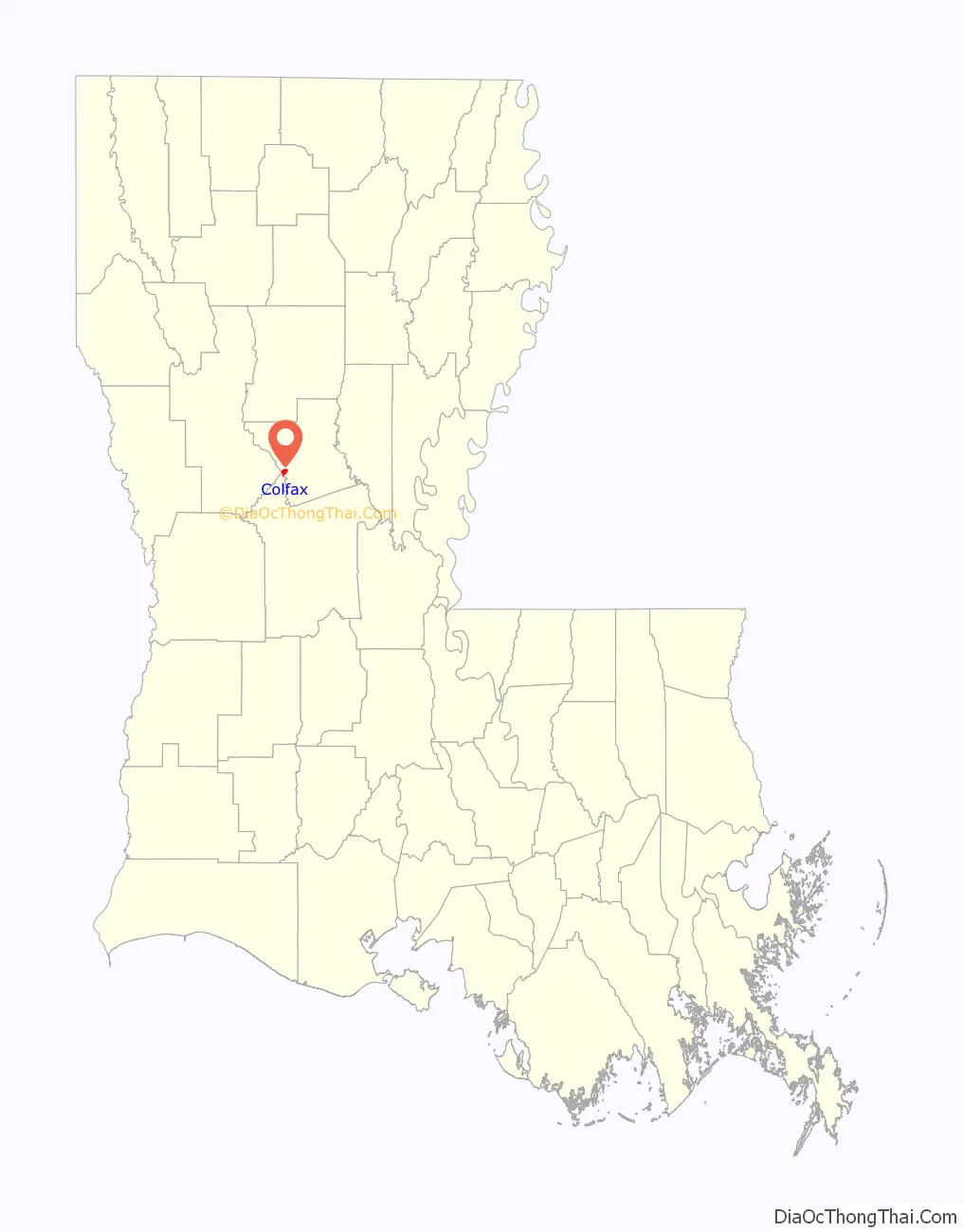
| State: | Louisiana |
| County: | Grant Parish |
| Founded: | 1869 |
| Elevation: | 100 ft (30 m) |
| Total Area: | 1.50 sq mi (3.88 km²) |
| Land Area: | 1.49 sq mi (3.86 km²) |
| Water Area: | 0.01 sq mi (0.02 km²) |
| Total Population: | 1,428 |
| Population Density: | 957.75/sq mi (369.73/km²) |
| ZIP code: | 71417 |
| Area code: | 318 |
| FIPS code: | 2216375 |
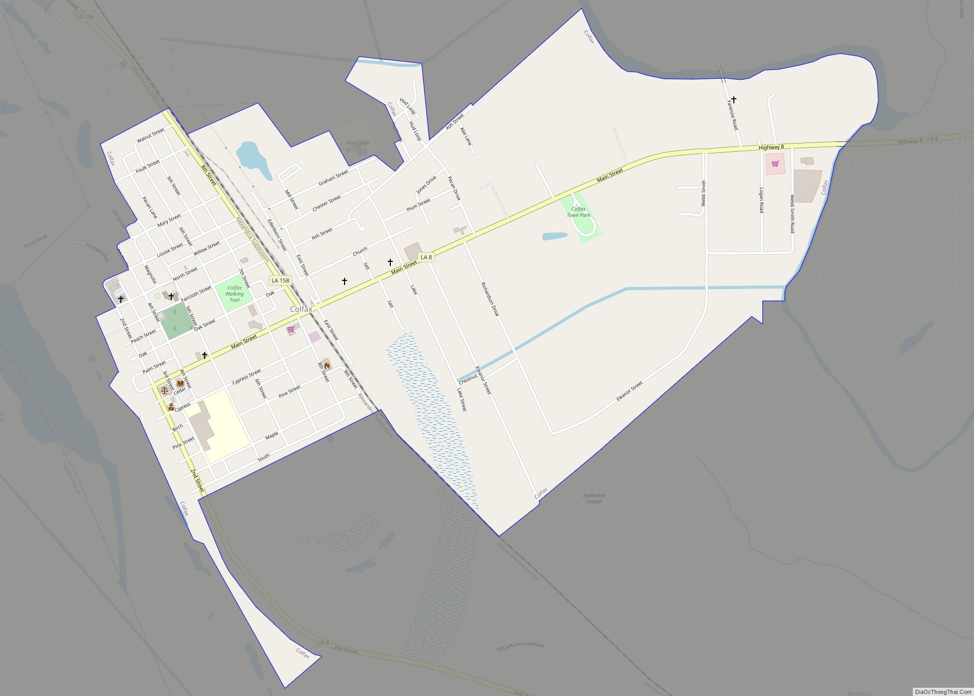
Online Interactive Map
Click on ![]() to view map in "full screen" mode.
to view map in "full screen" mode.
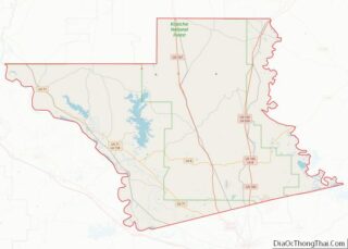
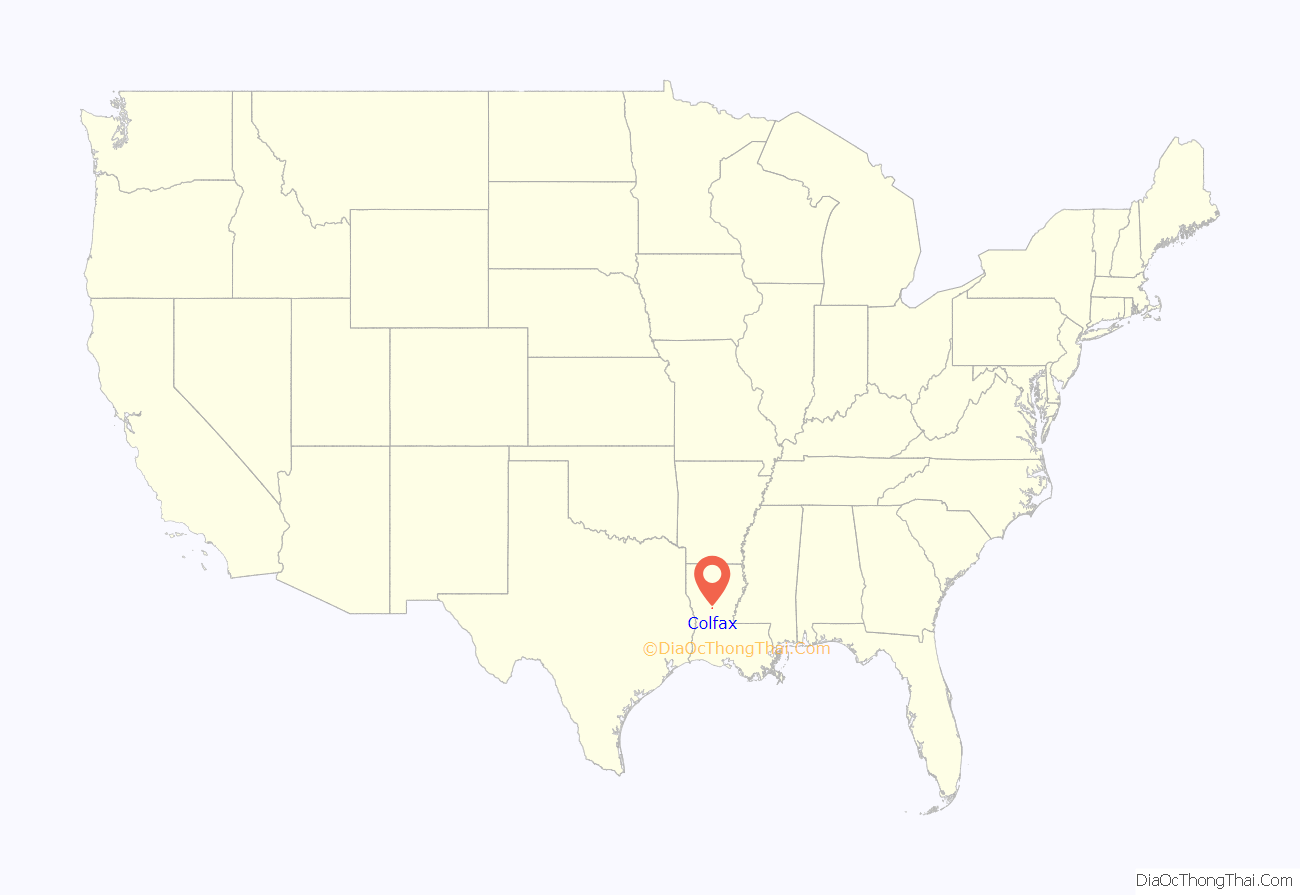
Colfax location map. Where is Colfax town?
History
Colfax is most known for a Reconstruction Era massacre known as the Colfax massacre which took place Easter, April 13, 1873 to quell black voting. One hundred-fifty African Americans and three whites were killed in one of the most egregious acts of terrorism during Reconstruction. A white militia was led against freedmen by Christopher Columbus Nash, who claimed to have been elected sheriff on a Fusionist/Democratic slate. Freedmen were defending Republican officials at the county courthouse and had gathered there as tensions rose in a post-election dispute. A contemporary report by the U.S. military documented the three white fatalities and 105 black victims by name, with 15-20 unidentified blacks found in the Red River. The disproportionate number of deaths between whites and blacks, and documented accounts that at least 50 black prisoners were executed while unarmed and under control of the white militia, 20th-century historians redefined the “riot” as a “massacre”. The event is significant because blacks, who comprised the majority in the parish, organized to defend themselves and their political rights and were mass murdered.
The riot arose from the disputed gubernatorial election of 1872, finally determined in the favor of the Republican William Pitt Kellogg by the federal government. Both the Fusion-Democrats and the Republicans held inaugurations and certified their own slates of local officers. Following the events of 1873, in 1874 Nash gathered many of the same men to establish the White League, a white supremacist paramilitary organization that operated on behalf of Democrats and eventually had chapters in many areas of Louisiana. It worked to intimidate and attack black voters, to run Republicans out of office, and to suppress black voting.
On April 13, 1921, the white citizens of Colfax unveiled a 12-foot (3.7 m) marble obelisk that read, “In Loving Remembrance, Erected to the Memory of the Heroes, Stephen Decatur Parish, James West Hadnot, Sidney Harris. Who fell in the Colfax Riot, fighting for White Supremacy, April 13, 1873.”
In 1950 the state commerce department erected a historical marker identifying the site of the “Colfax Riot”; it says that the militia’s victory “marked the end of carpetbag misrule in the South.” Because of similar insurgent paramilitary violence in other areas of the state, especially during campaigns and elections, federal troops remained in Louisiana until 1877, when they were removed on orders of U.S. President Rutherford B. Hayes.
In 2007, the Red River Heritage Association was founded to collect and interpret the history of Reconstruction, especially in the Red River area and Louisiana. The association is raising funds to restore a bank in Colfax near the former courthouse site to use as a museum, archives and interpretive center.
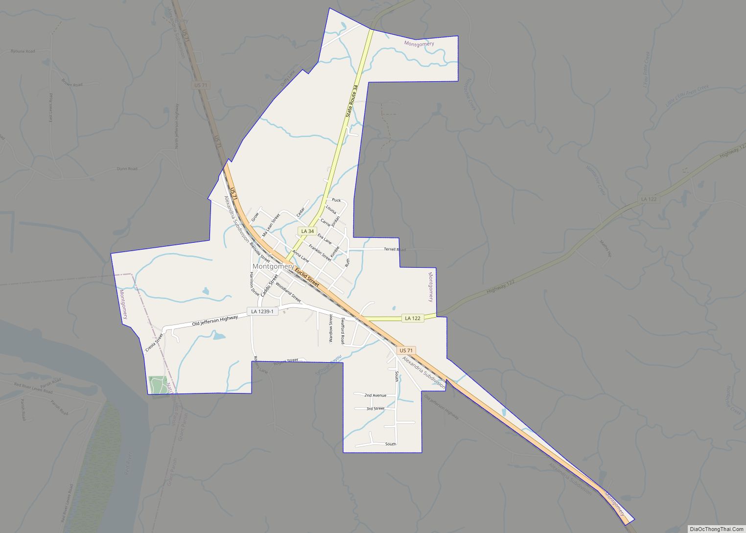
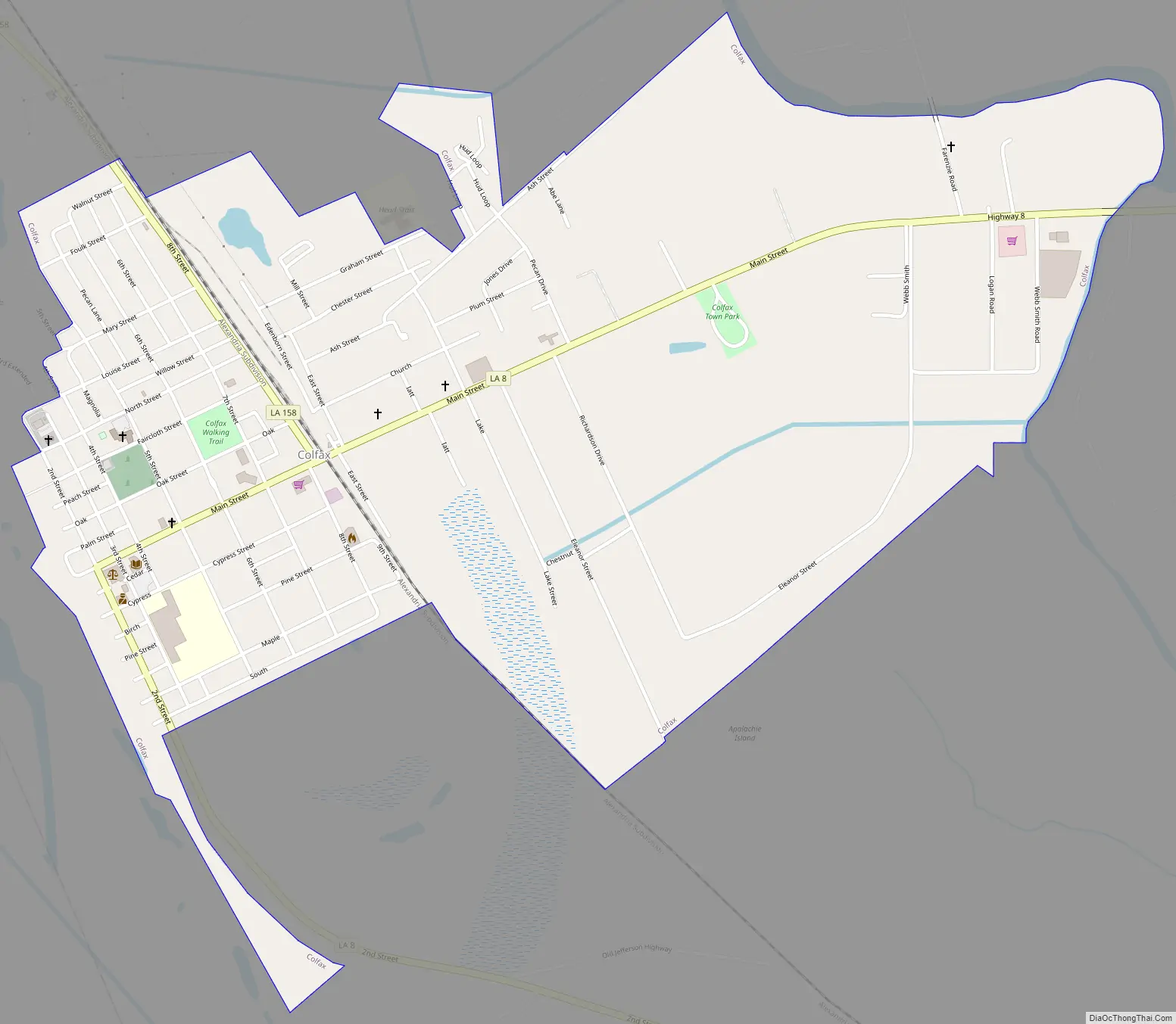
Colfax Road Map
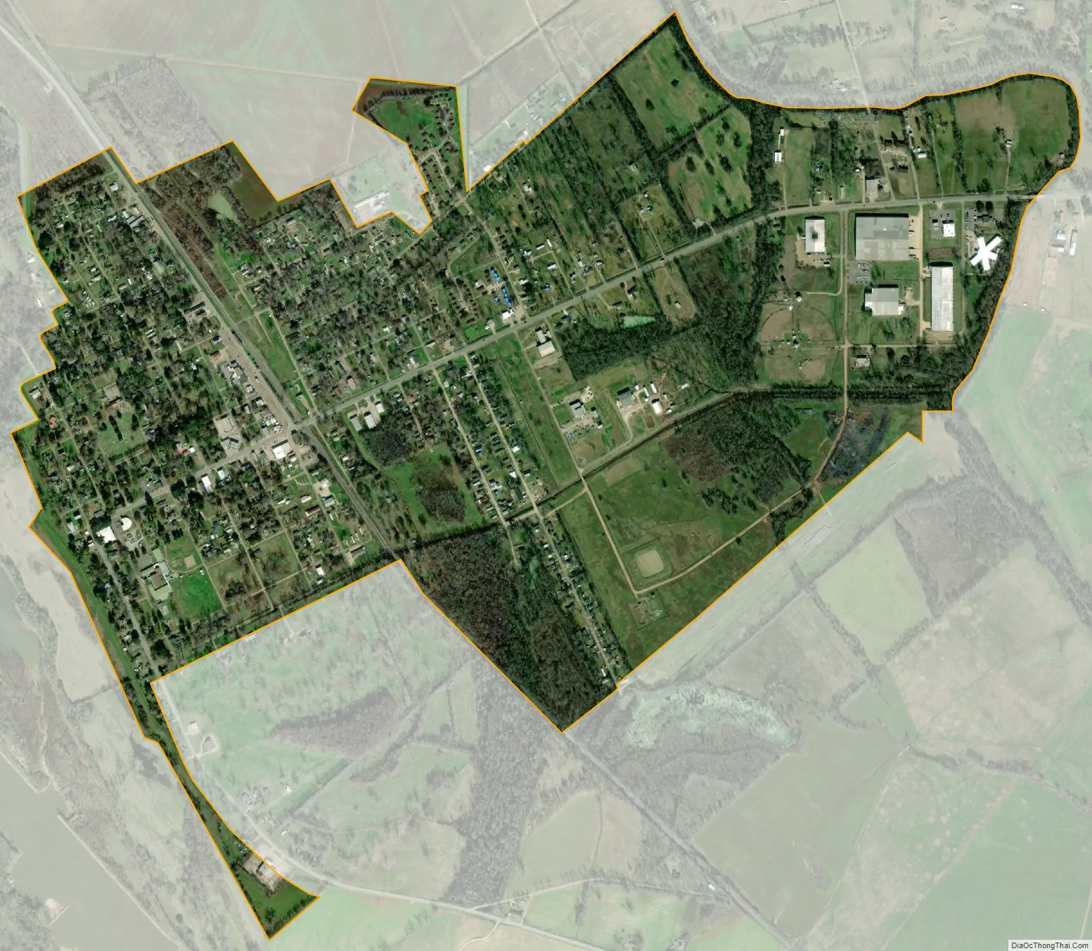
Colfax city Satellite Map
Geography
Colfax is located in western Grant Parish at 31°31′11″N 92°42′30″W / 31.51972°N 92.70833°W / 31.51972; -92.70833 (31.519783, -92.708446), on the northeast side of the Red River, and has an elevation of 95 feet (29.0 m) above sea level. Louisiana Highway 8 passes through the center of town, leading east 2 miles (3 km) to U.S. Route 71 and south 12 miles (19 km) to Boyce. Alexandria is 26 miles (42 km) to the southeast.
According to the United States Census 2010, Colfax has a total area of 1.5 square miles (3.9 km), of which 0.01 square miles (0.02 km), or 0.54%, is water.
See also
Map of Louisiana State and its subdivision:- Acadia
- Allen
- Ascension
- Assumption
- Avoyelles
- Beauregard
- Bienville
- Bossier
- Caddo
- Calcasieu
- Caldwell
- Cameron
- Catahoula
- Claiborne
- Concordia
- De Soto
- East Baton Rouge
- East Carroll
- East Feliciana
- Evangeline
- Franklin
- Grant
- Iberia
- Iberville
- Jackson
- Jefferson
- Jefferson Davis
- La Salle
- Lafayette
- Lafourche
- Lincoln
- Livingston
- Madison
- Morehouse
- Natchitoches
- Orleans
- Ouachita
- Plaquemines
- Pointe Coupee
- Rapides
- Red River
- Richland
- Sabine
- Saint Bernard
- Saint Charles
- Saint Helena
- Saint James
- Saint John the Baptist
- Saint Landry
- Saint Martin
- Saint Mary
- Saint Tammany
- Tangipahoa
- Tensas
- Terrebonne
- Union
- Vermilion
- Vernon
- Washington
- Webster
- West Baton Rouge
- West Carroll
- West Feliciana
- Winn
- Alabama
- Alaska
- Arizona
- Arkansas
- California
- Colorado
- Connecticut
- Delaware
- District of Columbia
- Florida
- Georgia
- Hawaii
- Idaho
- Illinois
- Indiana
- Iowa
- Kansas
- Kentucky
- Louisiana
- Maine
- Maryland
- Massachusetts
- Michigan
- Minnesota
- Mississippi
- Missouri
- Montana
- Nebraska
- Nevada
- New Hampshire
- New Jersey
- New Mexico
- New York
- North Carolina
- North Dakota
- Ohio
- Oklahoma
- Oregon
- Pennsylvania
- Rhode Island
- South Carolina
- South Dakota
- Tennessee
- Texas
- Utah
- Vermont
- Virginia
- Washington
- West Virginia
- Wisconsin
- Wyoming