Malden is a city in Middlesex County, Massachusetts, United States. At the time of the 2020 U.S. Census, the population was 66,263 people.
| Name: | Malden city |
|---|---|
| LSAD Code: | 25 |
| LSAD Description: | city (suffix) |
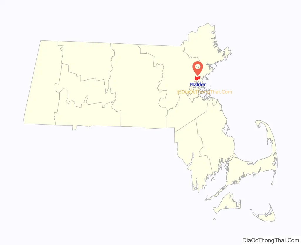
| State: | Massachusetts |
| County: | Middlesex County |
| Incorporated: | 1649 |
| Elevation: | 13 ft (4 m) |
| Total Area: | 5.08 sq mi (13.16 km²) |
| Land Area: | 5.04 sq mi (13.06 km²) |
| Water Area: | 0.04 sq mi (0.10 km²) |
| Total Population: | 66,263 |
| Population Density: | 13,136.99/sq mi (5,072.11/km²) |
| ZIP code: | 02148 |
| Area code: | 339/781 |
| FIPS code: | 2537875 |
| Website: | cityofmalden.org |
Online Interactive Map
Click on ![]() to view map in "full screen" mode.
to view map in "full screen" mode.
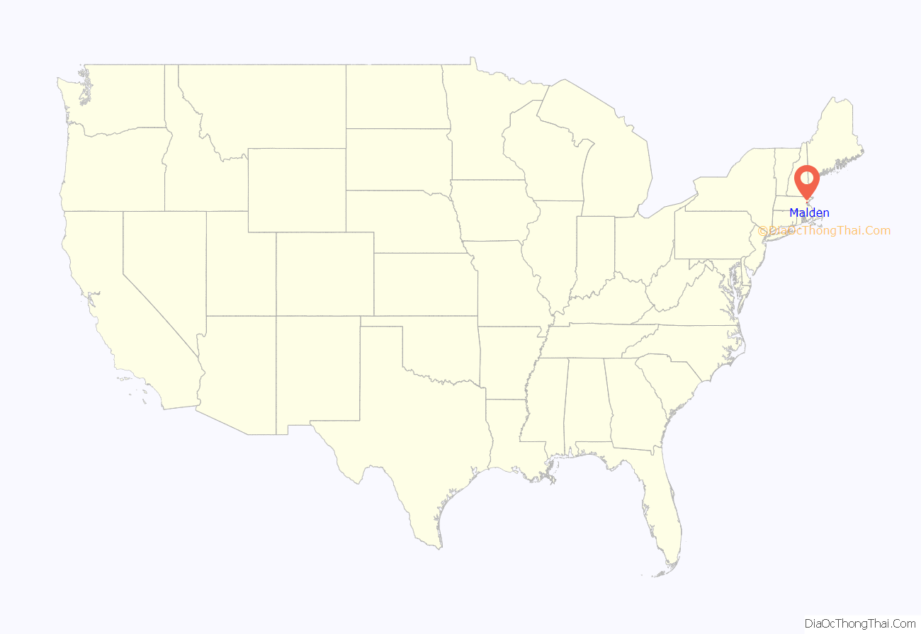
Malden location map. Where is Malden city?
History
Malden is a hilly woodland area north of the Mystic River that was settled by Puritans in 1640 on land purchased in 1629 from the Pennacook tribe, with a further grant in 1639 by the Squaw Sachem of Mistick and her husband Webcowet. The area was originally called the “Mistick Side” and was a part of Charlestown. It was incorporated as a separate town in 1649 under the name “Mauldon”. The name Malden was selected by Joseph Hills, an early settler and landholder, and was named after Maldon, England. The city originally included the adjacent cities of Melrose (until 1850) and Everett (until 1870).
At the time of the American Revolution, the population was about 1,000 people, and the citizens were involved early in resisting British rule. They boycotted the consumption of tea in 1770 to protest the Revenue Act of 1766, and it was also the first town to petition the colonial government to secede from the British Empire.
Malden High School has the second-oldest continuous high school football rivalry in the United States with Medford High School. The first “Thanksgiving Day Game” dates back to 1889.
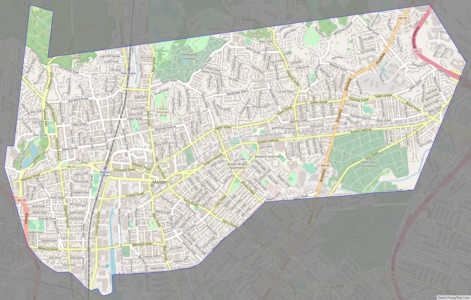
Malden Road Map
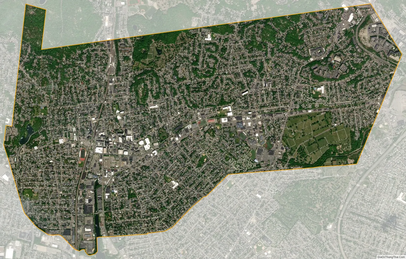
Malden city Satellite Map
Geography
Malden is bordered by Melrose on the north, Medford on the west, Everett on the south, Revere on the east, and Saugus on the northeast. Boojum Rock located in the north west corner of Malden inside the Middlesex Fells Reservation is the highest point in Malden with an elevation of approximately 275 feet.
According to the United States Census Bureau, the city has a total area of 5.1 square miles (13 km), of which 5.1 square miles (13 km) is land and 0.04 square miles (0.10 km) (0.78%) is water. Bordered on the northwest by the cliffs of Middlesex Fells, Malden is drained by the Malden River.
See also
Map of Massachusetts State and its subdivision: Map of other states:- Alabama
- Alaska
- Arizona
- Arkansas
- California
- Colorado
- Connecticut
- Delaware
- District of Columbia
- Florida
- Georgia
- Hawaii
- Idaho
- Illinois
- Indiana
- Iowa
- Kansas
- Kentucky
- Louisiana
- Maine
- Maryland
- Massachusetts
- Michigan
- Minnesota
- Mississippi
- Missouri
- Montana
- Nebraska
- Nevada
- New Hampshire
- New Jersey
- New Mexico
- New York
- North Carolina
- North Dakota
- Ohio
- Oklahoma
- Oregon
- Pennsylvania
- Rhode Island
- South Carolina
- South Dakota
- Tennessee
- Texas
- Utah
- Vermont
- Virginia
- Washington
- West Virginia
- Wisconsin
- Wyoming


